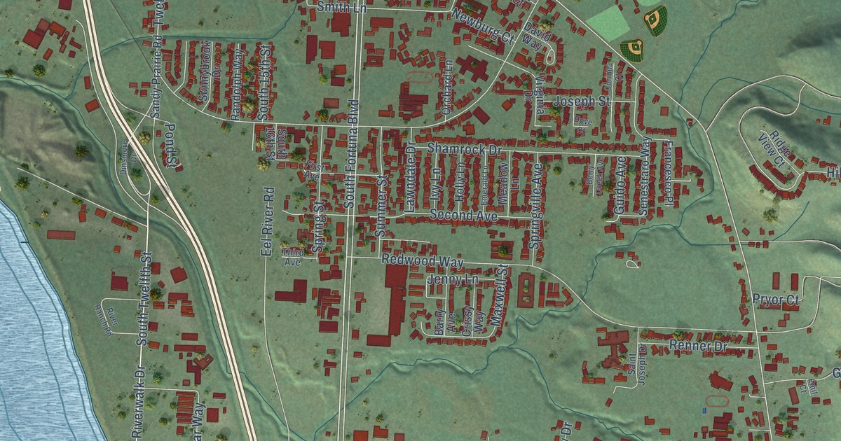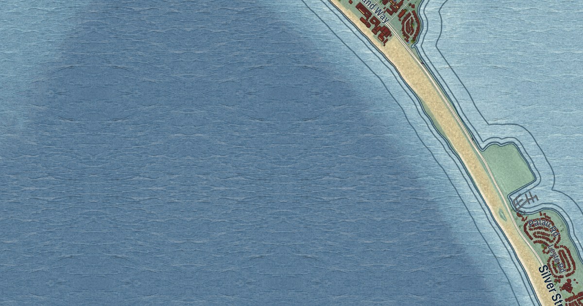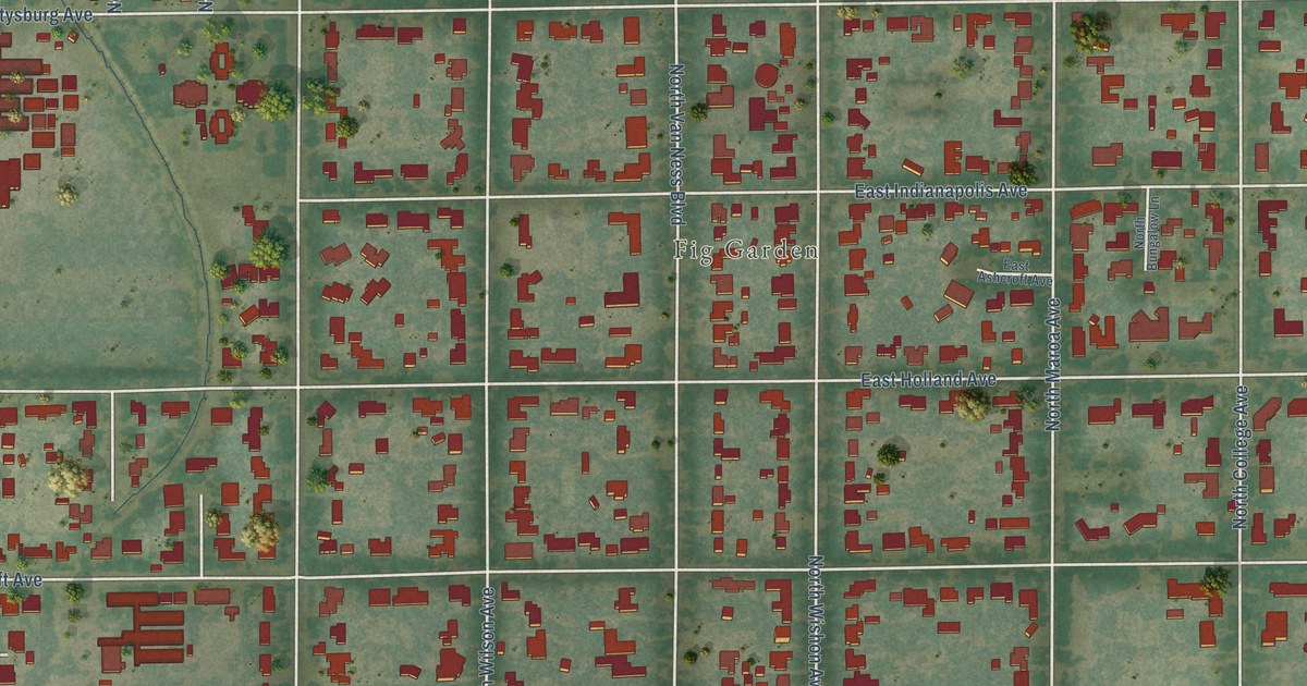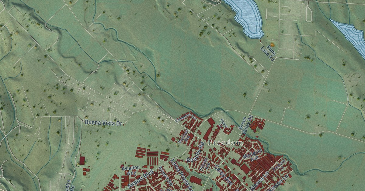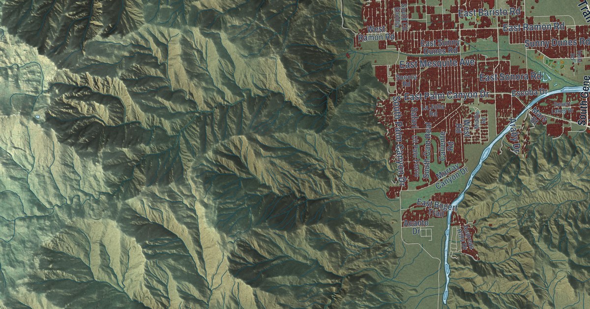
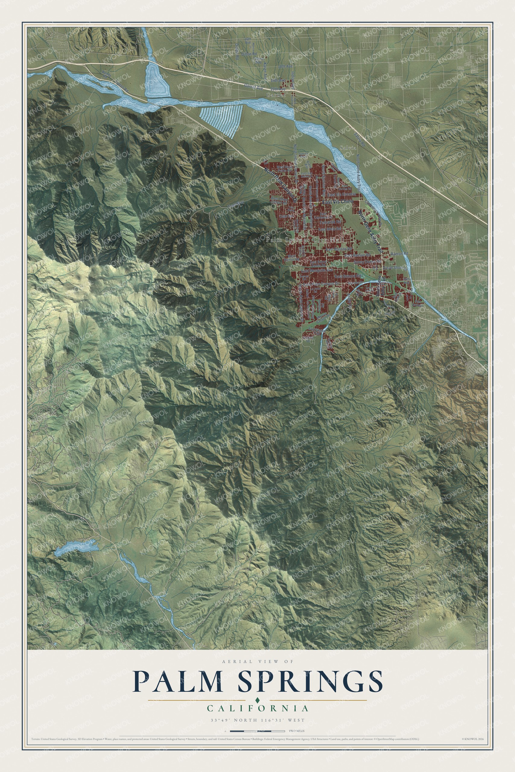
This beautifully detailed map of Palm Springs, California was created in 2026 using aerial imagery combined with modern topographical, census, street and landmark data. It's a modern aerial view of Palm Springs in Riverside County, California, that combines modern data with a vintage aesthetic. The roads feature printed names, and if you look closely you can find your exact house accurately shown in its correct location.
Explore an aerial view of Palm Springs, California
On this map you'll find Palm Springs City Hall, Garnet, Salvia, East Vis Chino, North Gene Autry Trail, North Palm Canyon Drive, East Palm Canyon Drive, East Ramon Road, East Mesquite Avenue, Dinah Shore Drive, Cam Sur, East Baristo Road, and more. Each red shape is a building, so zoom in on the preview and look for yours.
Palm Springs has a story worth telling. The National Register of Historic Places puts it this way: ")
Summary Paragraph: The 1925 Thomas O'Donnell Residence was the first Palm Springs building to
be constructed above the valley floor on the lower slopes of Mf."
Palm Springs is a city in Riverside County. The Census Bureau counted 44,575 people here in 2020.
Take a closer look at the Palm Springs map
Names on this map
These names are printed on this map.
Places: Palm Springs City Hall, Garnet and Salvia.
Streets and roads: East Vis Chino, North Gene Autry Trail, North Palm Canyon Drive, East Palm Canyon Drive, East Ramon Road, East Mesquite Avenue, Dinah Shore Drive, Cam Sur, East Baristo Road, North Indian Canyon Drive, Tram Way, South Palm Canyon Drive.
More street names, A to Z
16th Avenue, 18th Avenue, 19th Avenue, 20th Avenue, 34th Avenue, Acanto Drive, Andreas Hills Drive, Araby Drive, Avalon Way, Caliente Road, Cam Norte, Cll Abajo, Cll Arriba, Cll Palo Fierro, Clubhouse View Drive, Desert Lakes Drive, Desierto Vis, Diablo Road, Dillon Road, East Alejo Road, East Bogert Trail, East San Rafael Drive, East Sonora Road, East Sunny Dunes Road, East Tachevah Drive, East Verona Road, East Via Escuela, Escoba Drive, Garnet Avenue, Golf Club Drive, Indian Avenue, Karen Avenue, La Jolla Road, Mars Street, Melissa Lane, Middle Road, Murray Canyon Drive, North Avenue Caballeros, North Farrell Drive, North Hermosa Drive, North Indian Avenue, North Starr Road, North Sunrise Way, North Via Miraleste, Palm Hills Drive, Pso Azulejo, Ramon Road, Safari, Salvia Road, Savanna Way, Sonora Road, South Cam Real, South Cll Encilia, South Gene Autry Trail, Sunny Dunes Road, Sunrise Parkway, Tamarisk Road, Tiffany Way, Tipton Road, Vella Road, Vis Sol, Wendy Road, West Chino Canyon Road, West Ramon Road, West Road, West Rosa Parks Road.
Created by KNOWOL in 2026. The buildings are small red shapes, the roads carry their printed names, and shaded relief shows the shape of the land. The title panel reads "AERIAL VIEW OF PALM SPRINGS CALIFORNIA" with 33°49' NORTH 116°31' WEST.
It looks right in a kitchen, an office or a den, and it's a gift for anyone who grew up in Palm Springs or moved away. Open the preview and find your street. See sizes and frames for the Palm Springs map.