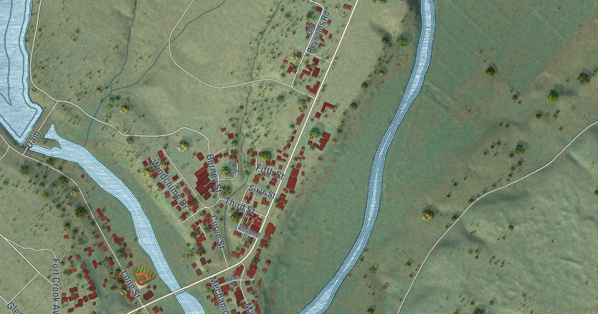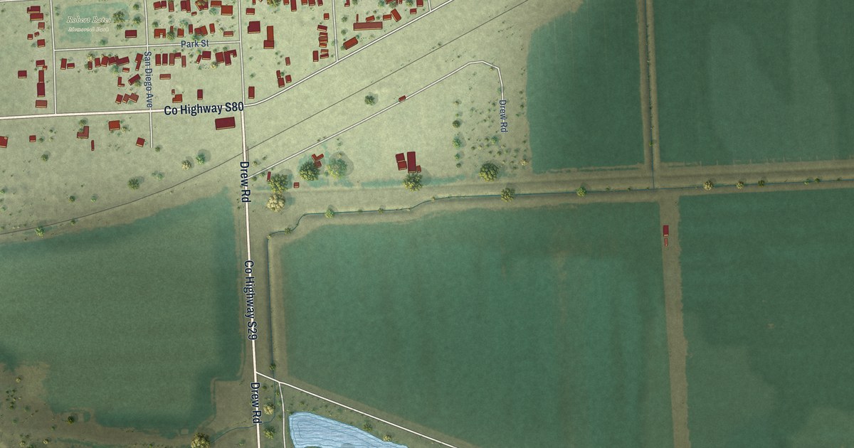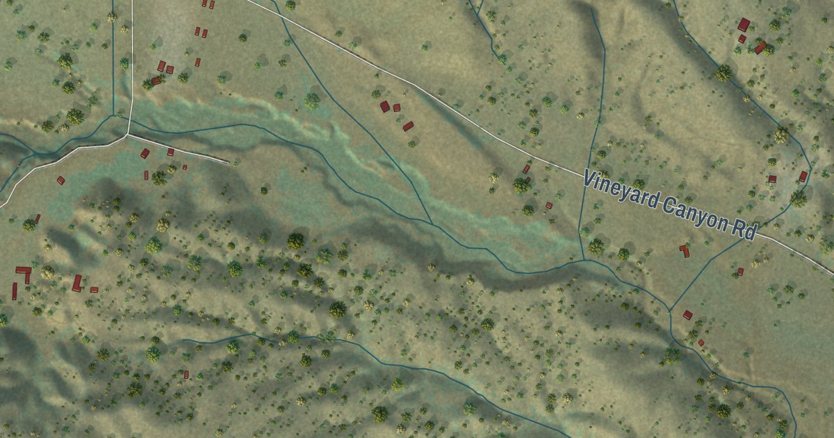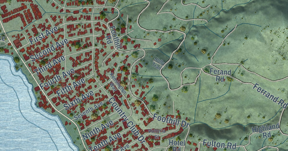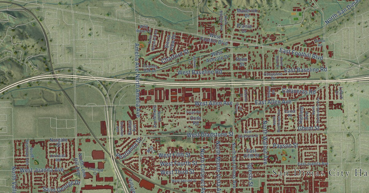
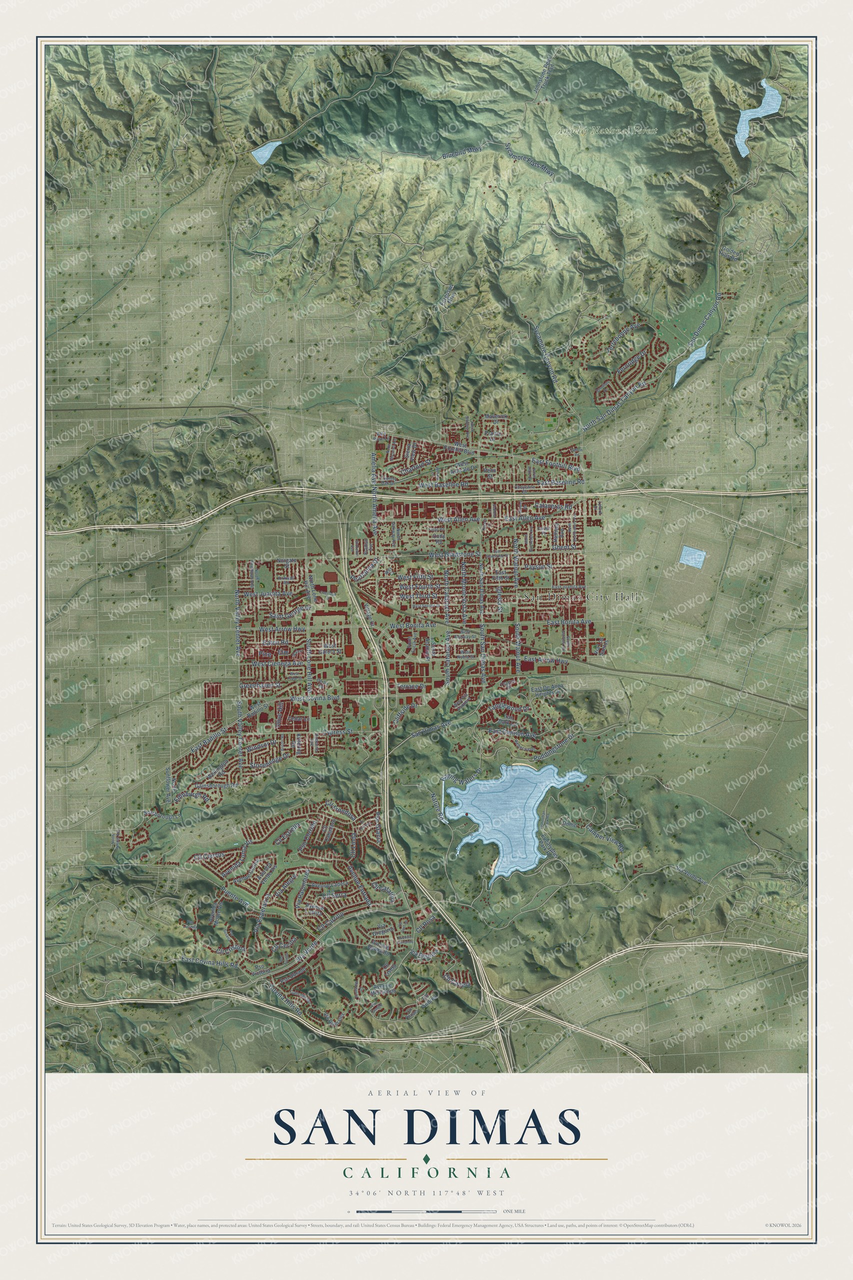
This beautifully detailed map of San Dimas, California was created in 2026 using aerial imagery combined with modern topographical, census, street and landmark data. It’s a one-of-a-kind view of San Dimas that combines accurate data with a vintage aesthetic. The map shows every building in its true location, many of the roads carry their names, and the shaded topographic relief shows the shape of the land.
Explore an aerial view of San Dimas, California
On the map you’ll find San Dimas City Hall, Angeles National Forest, Via Verde, and Sycamore Flats Mtwy, along with East Foothill Boulevard, West Allen Avenue, East Allen Avenue, South Cataract Avenue, West Arrow Highway, San Dimas Avenue, West Covina Boulevard, South San Dimas Avenue, and more. If you look closely you can even find your house accurately drawn in its correct location. Zoom in on the preview to look for yours.
Did you know this piece of San Dimas, California history?
From the National Register of Historic Places: "Here a planing'mill was built and the lumber was milled for the hotel, Santa Fe depot, and a number of smaller buildings in downtown San Dimas."
Take a closer look at the San Dimas map
Street and place names on the San Dimas, California map
These names are printed on the map of San Dimas, California.
Places: San Dimas City Hall and Angeles National Forest.
Streets and roads: Via Verde, East Foothill Boulevard, West Allen Avenue, East Allen Avenue, South Cataract Avenue, West Arrow Highway, San Dimas Avenue, West Covina Boulevard, South San Dimas Avenue, Sycamore Flats Mtwy, North San Dimas Canyon Road, San Dimas Canyon Road.
More street names, A to Z
Amelia Avenue, Avenida Loma Vis, Avenida Monte Vis, Avenida Verde Vis, Avenue Bernardo, Avenue Colina, Avenue Entrada, Avenue Fernando, Avenue Ladera, Avenue Lomita, Avenue Melisenda, Bidwell Road, Bluebird Mtwy, Bradish Avenue, Bristol Road, Calaveras Road, Cam del Sur, Camper View Road, Carlet Place, Cedar Lane, Charford Street, Cheyenne Drive, Cliffside Drive, Cll Andrea, Cll Arroyo, Cll Caballero, Cll Canela, Cll Carrillo, Cll Catalina, Cll Cecilia, Cll Ciervos, Cll Cristina, Cll Estrella, Cll Frondosa, Cll Linda, Cll Liseta, Cll Margarita, Cll Renata, Cll Rosa, Cll Serra, Cody Road, Country Oak Drive, Covina Hills Road, Cypress Street, Dalton Road, Deerflats Drive, Derby Road, Dome, Dumaine Avenue, East Arrow Highway, East Badillo Street, East Baseline Road, East Bonita Avenue, East Cannon Avenue, East Covina Hills Road, East De Anza Heights Drive, East Fifth Street, East Gladstone Street, East Juanita Avenue, Eaton Road, Edinburgh Road, Elm, Eucalyptus Park Road, Fargo Road, Ferguson Mtwy, Fernridge Drive, Fisherman Park Road, Gainsborough Road, Ghent Street, Golden Hills Road, Greenhaven Street, Groveton Avenue, Hatfield Avenue, Iglesia Street, Iron Bark Lane, Johnstone Peak Truck Trail, Kirkwall Road, Kittering Road, Lyford Drive, Maverick Drive, Nature Road, Norgate Street, North Amelia Avenue, North Birchnell Avenue, North Cataract Avenue, North Dixie Drive, North Lone Hill Avenue, North Monte Vista Avenue, North Northcape Avenue, North Oakway Avenue, North Reeder Avenue, North San Dimas Avenue, North Shaftesbury Avenue, North Shellman Avenue, North Shirlmar Avenue, North Sunflower Avenue, North Valley Center Avenue, North Walnut Avenue, Olive Hill, Overland Court, Payson Street, Pearlanna Drive, Penn Street, Pine, Prairie Drive, Pso Corrido, Pso Dorado, Pso Gracia, Pso Lucinda, Pso Susana, Pso Teresa, Pso Victoria, Puddingstone Drive, Puente Avenue, Raging Waters Drive, Rebecca Drive, Saint George Drive, Scarborough Lane, Sedona Court, Sierra View Drive, South Acacia Street, South Eucla Avenue, South Gaffney Avenue, South Lone Hill Avenue, South Valley Center Avenue, South Walnut Avenue, Stonehenge Drive, Sycamore Canyon Road, Tanglewood Drive, Teague Drive, Terrace Drive, Terrebonne Avenue, Tucson Court, Via Alegre, Via Amarilla, Via Camille, Via Esperanza, Via Gregorio, Via Justino, Via Los Santos, Via Palomares, Via Romales, Via Verde Avenue, Village Court, Walnut, Way Court, Wehner Lane, Wellington Road, West Ashvale Drive, West Badillo Street, West Baseline Road, West Bonita Avenue, West Calora Street, West Cienega Avenue, West Fifth Street, West Foothill Boulevard, West Fourth Street, West Gladstone Street, West Juanita Avenue, West Nubia Street, West Railway Street, West Second Street, West Third Street, West Tudor Street, West Via Vaquero, Wild Rose Lane, Windsor Drive.
See the San Dimas, California map on a wall
The San Dimas map as an 18 x 24 inch print in a black frame.

This beautifully detailed map of San Dimas makes an attractive addition to your office, library, or den, and it can even be used to teach children the geography and history of the area. It also makes a great gift for someone who left San Dimas and still calls it home. When you’re done exploring, click here to get your copy of the San Dimas map.