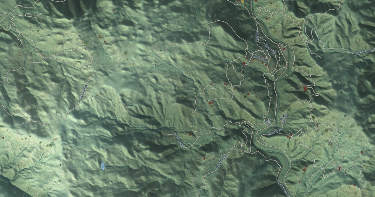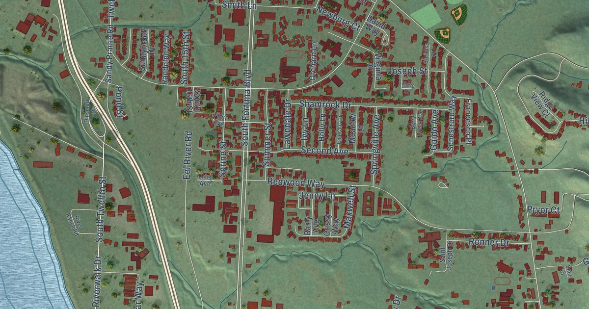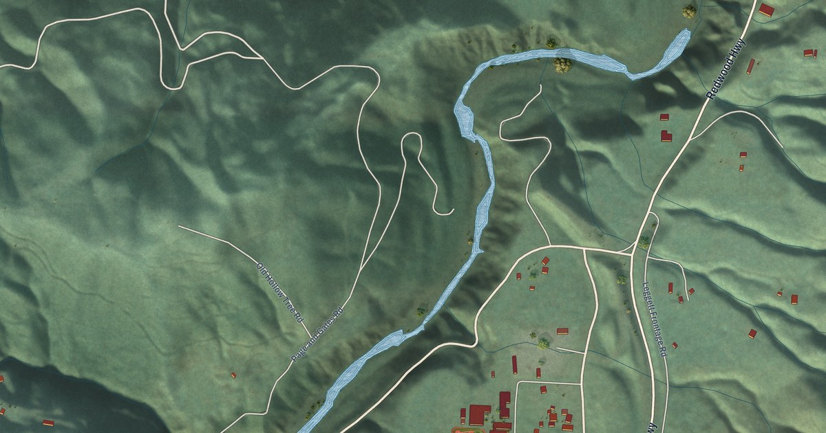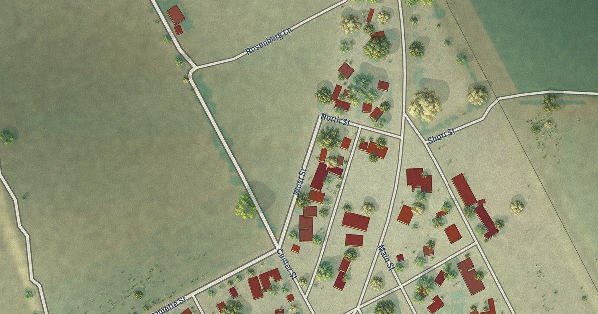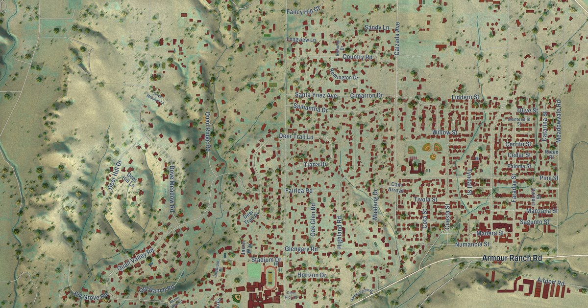
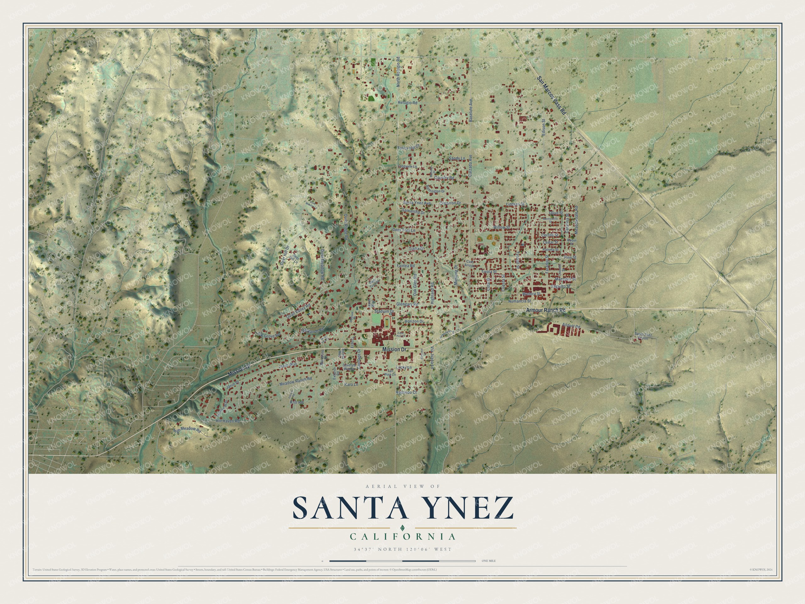
This beautifully detailed map of Santa Ynez, California was created in 2026 using aerial imagery combined with modern topographical, census, street and landmark data. It's a modern aerial view of Santa Ynez in Santa Barbara County, California, that combines modern data with a vintage aesthetic. The roads feature printed names, and if you look closely you can find your exact house accurately shown in its correct location.
Explore an aerial view of Santa Ynez, California
On this map you'll find Armour Ranch Road, Mission Drive, San Marcos Pass Road, Baseline Avenue, Calzada Avenue, Via Juana Lane, Refugio Road, Kara Lane, Numancia Street, Santa Ynez Avenue, Hill Haven Road, North Refugio Road, and more. Each red shape is a building, so zoom in on the preview and look for yours.
Santa Ynez has a story worth telling. Santa Ynez was founded in 1882 in the middle of the College Rancho, and its name is Spanish for Saint Agnes. Early on the town had two hotels, a 15-member band and a newly built two-story wooden schoolhouse, one of the finest in the county. That's from the Lewis Publishing Company.
Santa Ynez is a community in Santa Barbara County. The Census Bureau counted 4,505 people here in 2020.
Take a closer look at the Santa Ynez map
Names on this map
These names are printed on this map.
Places: Santa Ynez Airport.
Streets and roads: Armour Ranch Road, Mission Drive, San Marcos Pass Road, Baseline Avenue, Calzada Avenue, Via Juana Lane, Refugio Road, Kara Lane, Numancia Street, Santa Ynez Avenue, Hill Haven Road, North Refugio Road.
More street names, A to Z
Airport Road, Amber Farms Road, Brandon Drive, Calle Pico Court, Cam Arroyo, Carriage Drive, Catarina Street, Cedar Street, Cerrito Street, Cimarron Drive, Cota Street, Country Road, Covered Wagon, Cuesta Street, Deer Hill Drive, Deer Hill Lane, Deer Trail Lane, Deer Trail Place, Dove Meadow Lane, Dove Meadow Road, Echo Lane, Edison Street, Elk Grove Road, Entrane Road, Exterior Road, Fairlea Road, Fancy Hill Court, Faraday Street, Glengary Road, Highland Road, High Meadow Road, Horizon Drive, Janin Place, Janin Way, Jason Way, Krill Road, Lincoln Street, Lindero Street, Longview Lane, Lucky Lane, Madera Street, Manzana Street, Marcelino Drive, Meadow Ranch Road, Meadowvale Road, Montebello Street, Mustang Drive, Oak Glen Road, Old Ranch Road, Olive Street, Paloma Street, Pine Street, Quail Ridge Road, Quail Valley Road, Ranch View Lane, Redondo Court, Remington Drive, Robin Place, Sagunto Street, Samantha Drive, Sandy Lane, Sienna Way, Stadium Drive, Stadium Place, Sunrise Way, Tall Pine Lane, Tiana Drive, Tivola Street, Tyndall Street, Watermill Lane, Willow Street.
See it on a wall
The Santa Ynez map as a framed print. Swipe for more.


Created by KNOWOL in 2026. The buildings are small red shapes, the roads carry their printed names, and shaded relief shows the shape of the land. The title panel reads "AERIAL VIEW OF SANTA YNEZ, CALIFORNIA" with 34°37' NORTH 120°06' WEST.
It looks right in a kitchen, an office or a den, and it's a gift for anyone who grew up in Santa Ynez or moved away. Open the preview and find your street. See sizes and frames for the Santa Ynez map.