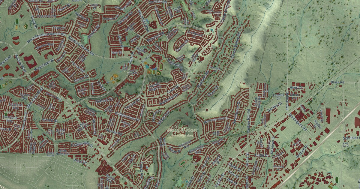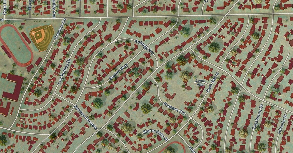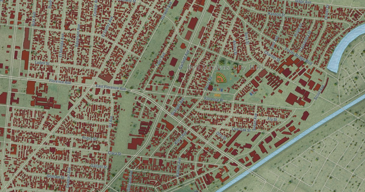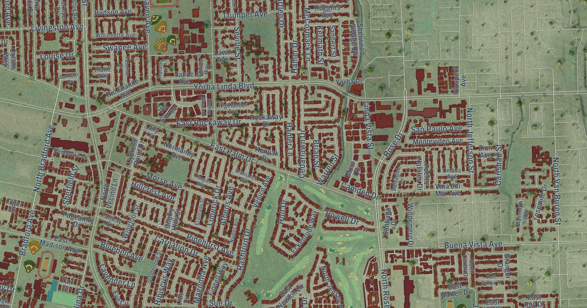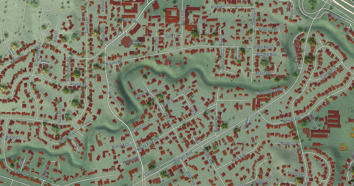
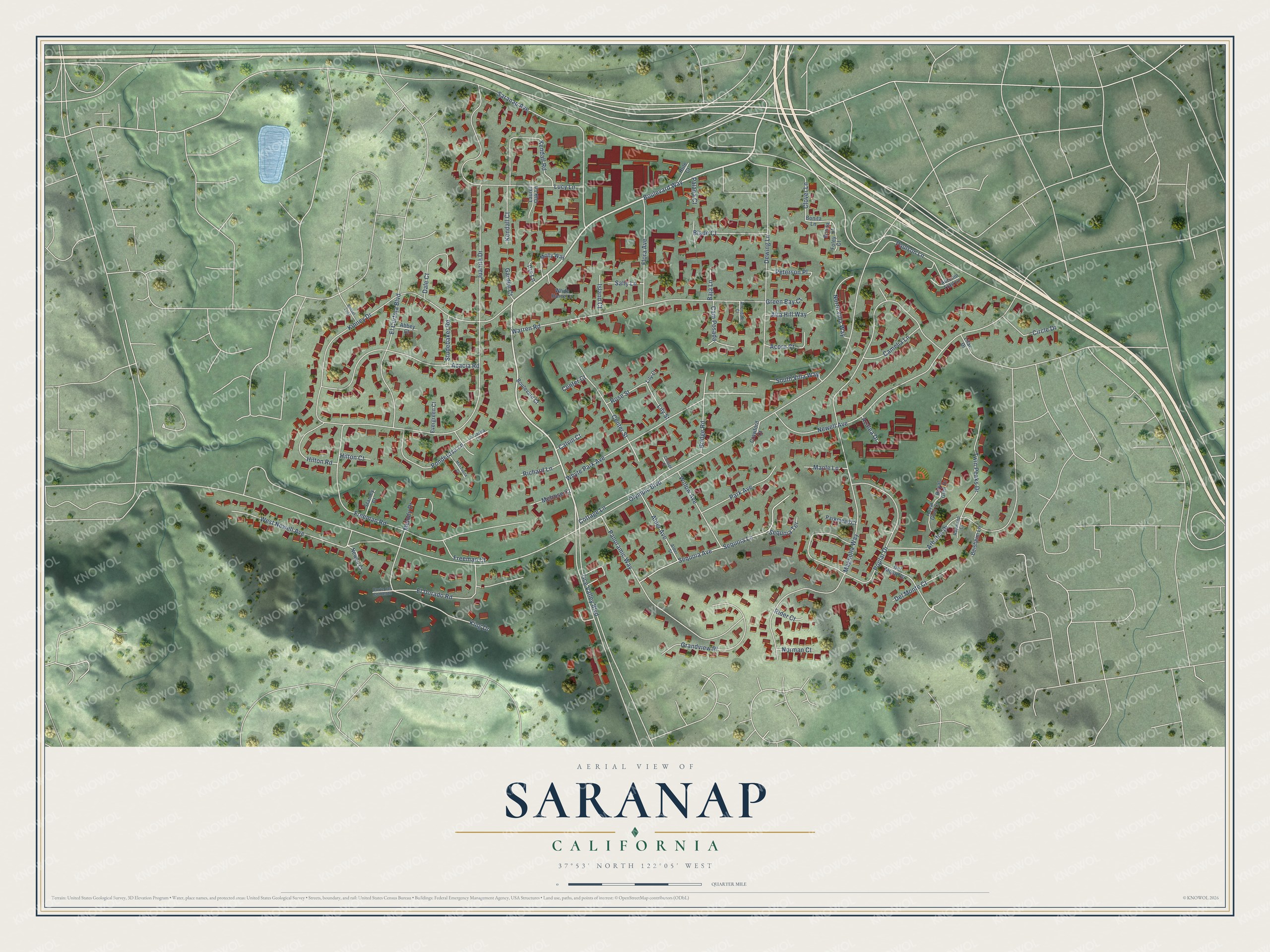
This beautifully detailed map of Saranap, California was created in 2026 using aerial imagery combined with modern topographical, census, street and landmark data. It's a modern aerial view of Saranap in Contra Costa County, California, that combines modern data with a vintage aesthetic. The roads feature printed names, and if you look closely you can find your exact house accurately shown in its correct location.
Explore an aerial view of Saranap, California
On this map you'll find Boulevard Way, Olympic Boulevard, Juanita Drive, Magnolia Way, Kinney Drive, Newell Avenue, Freeman Road, Tice Valley Boulevard, Poplar Drive, Saranap Avenue, Warren Road, Panoramic Way, and more. Each red shape is a building, so zoom in on the preview and look for yours.
Saranap has a story worth telling. The Contra Costa County History puts it this way: "In the meantime, the Oakland, Antioch & Eastern Railway leased the Oakland & Antioch Railway and also the San Ramon Valley Railroad, running from Saranap on the main line to Danville."
Saranap is a community in Contra Costa County. The Census Bureau counted 5,830 people here in 2020.
Take a closer look at the Saranap map
Names on this map
These names are printed on this map.
Streets and roads: Boulevard Way, Olympic Boulevard, Juanita Drive, Magnolia Way, Kinney Drive, Newell Avenue, Freeman Road, Tice Valley Boulevard, Poplar Drive, Saranap Avenue, Warren Road, Panoramic Way.
More street names, A to Z
Abbey Court, Acacia Road, Acorn Court, Alder Avenue, Alder Street, Allendale Court, Alta Hill Way, Arbutus Drive, Autumn Trail Lane, Azalea Drive, Baja Lane, Beisheim Lane, Blade Court, Bonita Court, Bonita Lane, Boulevard Court, Bridge Road, Calvin Court, Camelia Lane, Cam Posada, Center Court, Center Street, Circle Drive, Clover Lane, Corte del Contento, Cottage Court, Cottage Lane, Crawford Court, Dale Court, Del Monte Court, Del Monte Drive, Dewing Lane, El Curtola Boulevard, El Dorado Road, Evergreen Court, Flora Avenue, Foley Court, Freeman Court, Garden Court, Grandview Place, Green Bay Court, Hilton Court, Hilton Road, Iris Lane, Island Court, Kendall Court, Kendall Road, King Drive, La Casita Lane, Laurel Oak Lane, Lilac Drive, Lily Court, Lily Street, Lucy Lane, Manzanita Court, Maple Lane, Melody Drive, Melrose Court, Molly Way, Newell Court, Norman Court, North Villa Way, Palana Court, Park Avenue, Parkmead Court, Paulson Lane, Peterson Place, Ponderosa Lane, Raymond Court, Richard Lane, Rider Court, Rose Street, Royal Glen Court, Royal Glen Drive, Rule Court, Sally Lane, Sequoia Avenue, Sequoia Lane, Sequoia Terrace, South Villa Way, Stanley Court, Studebaker Road, Sunset Loop, Twin Peaks Drive, West Newell Avenue, White Horse Court, Whyte Park Avenue, Willow Avenue.
Created by KNOWOL in 2026. The buildings are small red shapes, the roads carry their printed names, and shaded relief shows the shape of the land. The title panel reads "AERIAL VIEW OF SARANAP CALIFORNIA" with 37°53' NORTH 122°05' WEST.
It looks right in a kitchen, an office or a den, and it's a gift for anyone who grew up in Saranap or moved away. Open the preview and find your street. See sizes and frames for the Saranap map.