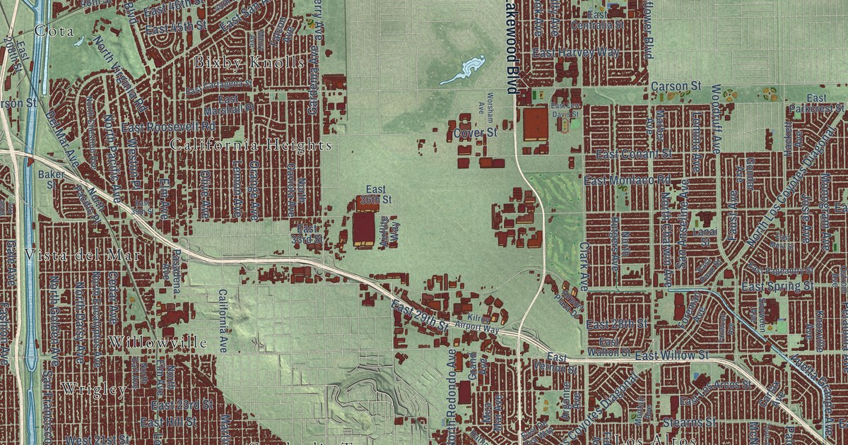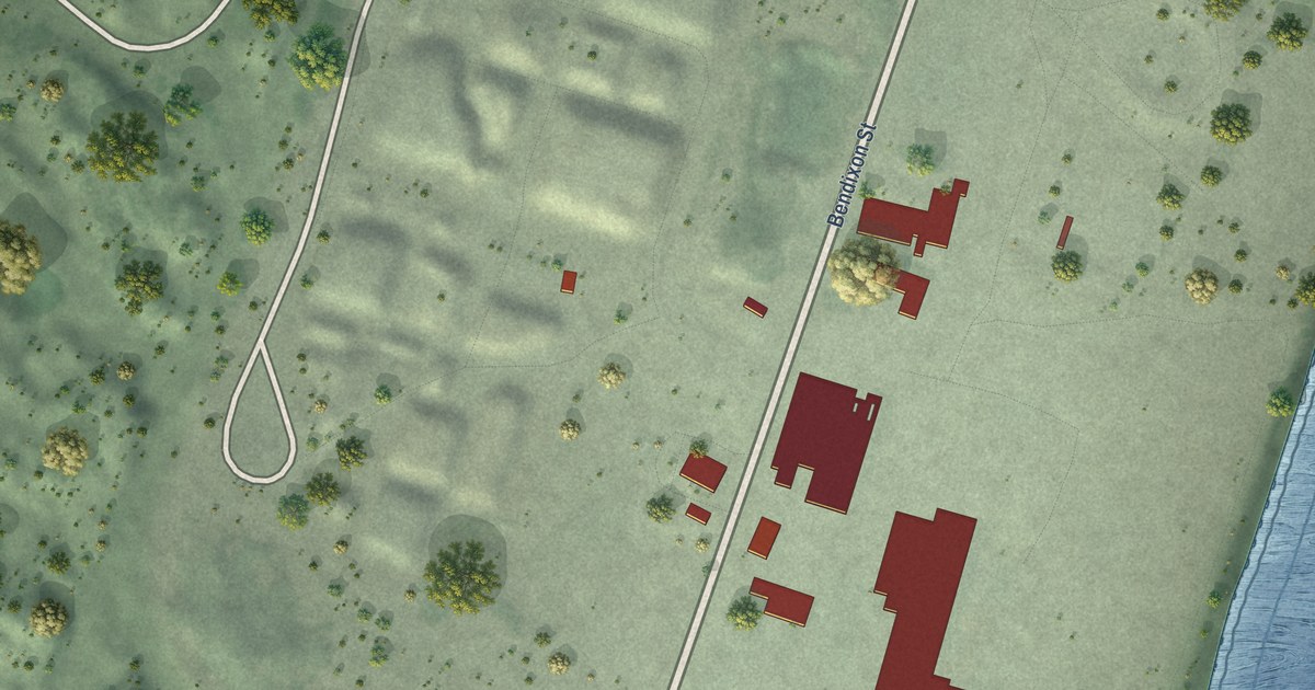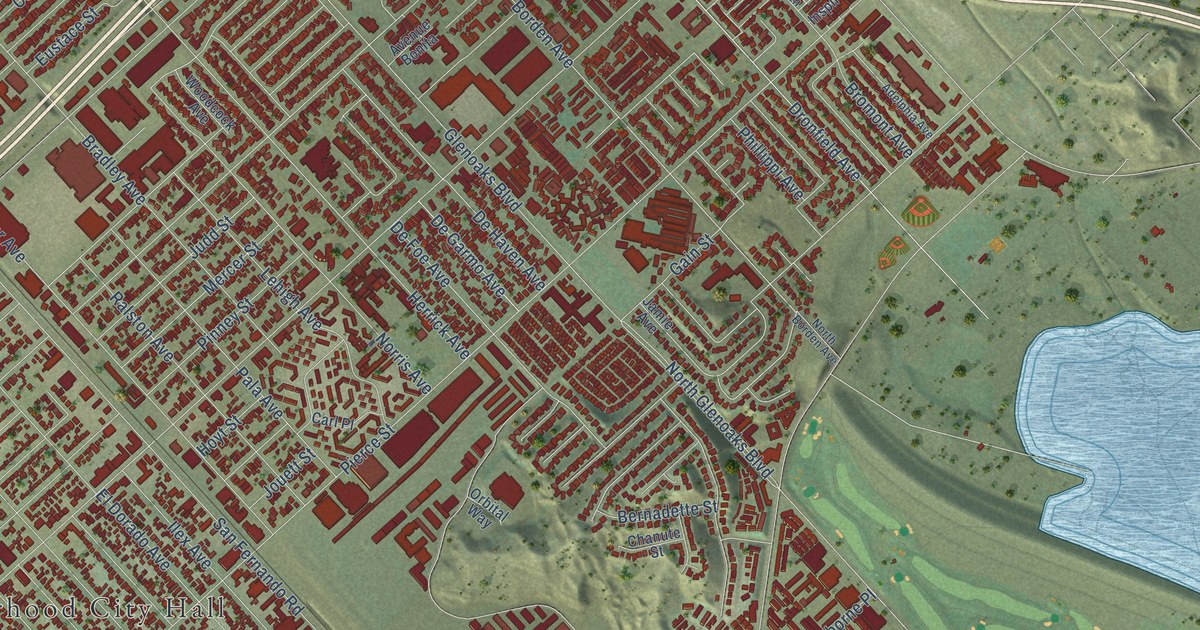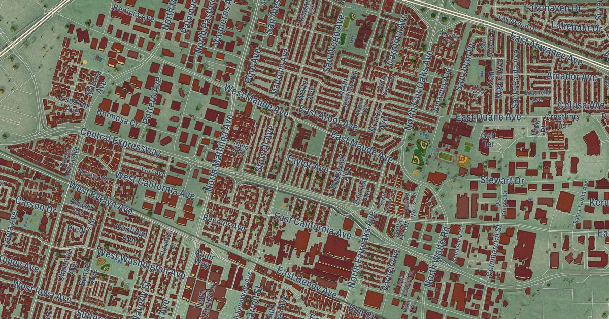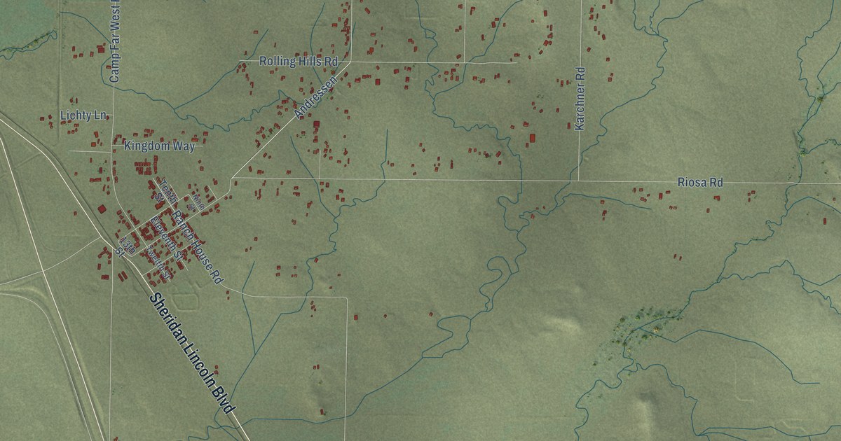
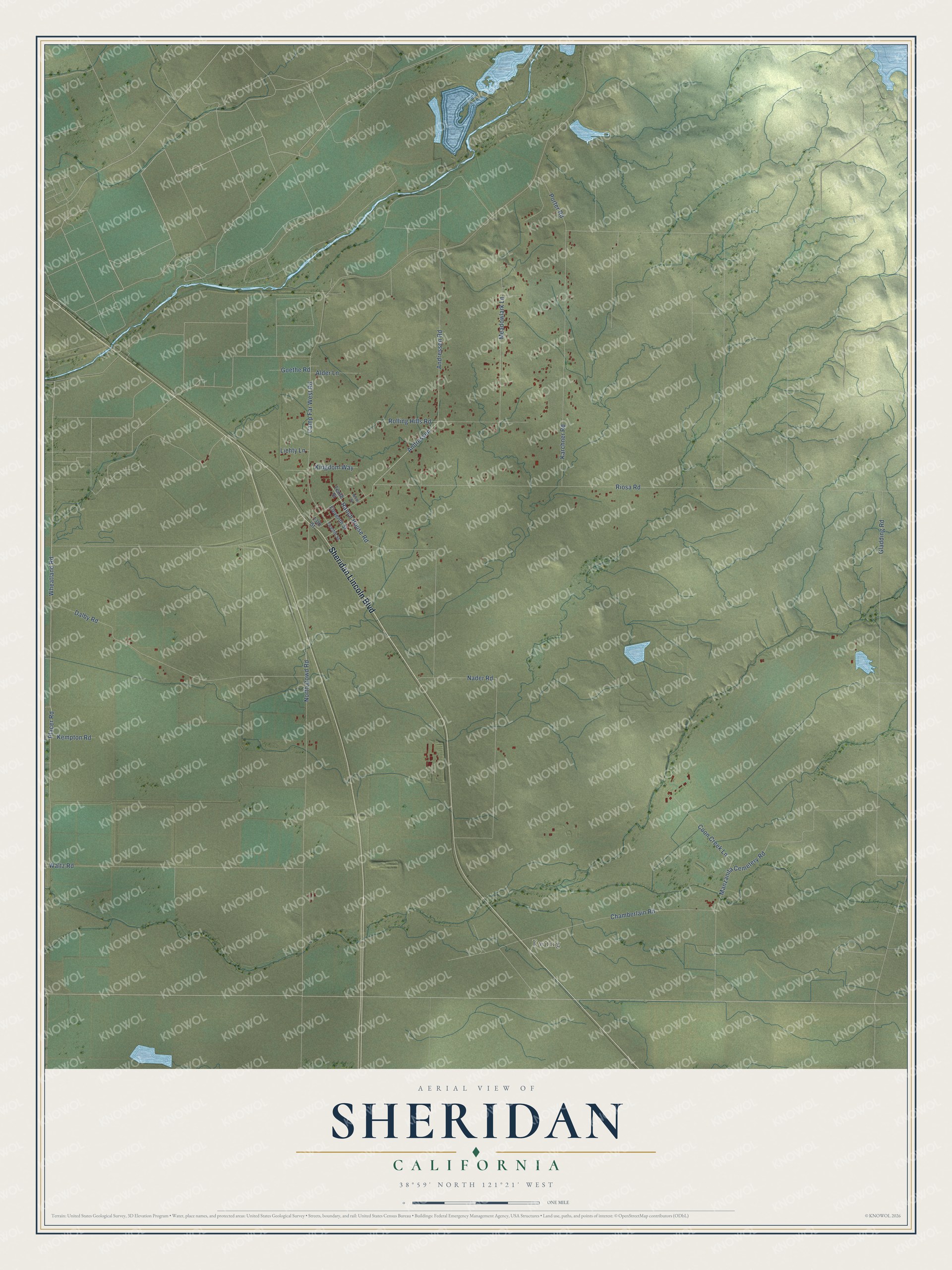
This beautifully detailed map of Sheridan, California was created in 2026 using aerial imagery combined with modern topographical, census, street and landmark data. It's a modern aerial view of Sheridan in Placer County, California, that combines modern data with a vintage aesthetic. The roads feature printed names, and if you look closely you can find your exact house accurately shown in its correct location.
Explore an aerial view of Sheridan, California
On this map you'll find Ewing, Sheridan Lincoln Boulevard, Riosa Road, Andressen Road, Wheatland Road, Camp Far West Road, Placer Road, North Dowd Road, Gladding Road, Karchner Road, Dalby Road, Nader Road, and more. Each red shape is a building, so zoom in on the preview and look for yours.
Sheridan has a story worth telling. Sheridan was named in honor of General Phil Sheridan, but it grew up around Rogers' Shed, later called the Union Shed, which E. C. Rogers built in December 1857 on the old Sacramento and Nevada road. Its big open shed, 40 feet square and 20 feet high, sheltered the freight teams headed for the mountain towns. In its early years 40 to 60 big freight teams came by each day. The Shed was also where farmers sold their hay and barley, and a public ball was held there every month. That's from the 1882 History of Placer County.
Sheridan is a community in Placer County. The Census Bureau counted 1,385 people here in 2020.
Take a closer look at the Sheridan map
Names on this map
These names are printed on this map.
Places: Ewing.
Streets and roads: Sheridan Lincoln Boulevard, Riosa Road, Andressen Road, Wheatland Road, Camp Far West Road, Placer Road, North Dowd Road, Gladding Road, Karchner Road, Dalby Road, Nader Road, Ranch House Road.
More street names, A to Z
13th Street, Alder Lane, Andressen, Chamberlain Road, Coon Creek Lane, Eleventh Street, Goethe Road, Kempton Road, Kingdom Way, Lichty Lane, Manzanita Cemetery Road, Meadowlark Lane, Ninth Street, Porter Road, Rolling Hills Road, Tenth Street, Twelfth Street, Waltz Road.
See it on a wall
The Sheridan map as a framed print. Swipe for more.


Created by KNOWOL in 2026. The buildings are small red shapes, the roads carry their printed names, and shaded relief shows the shape of the land. The title panel reads "AERIAL VIEW OF SHERIDAN, CALIFORNIA" with 38°59' NORTH 121°21' WEST.
It looks right in a kitchen, an office or a den, and it's a gift for anyone who grew up in Sheridan or moved away. Open the preview and find your street. See sizes and frames for the Sheridan map.