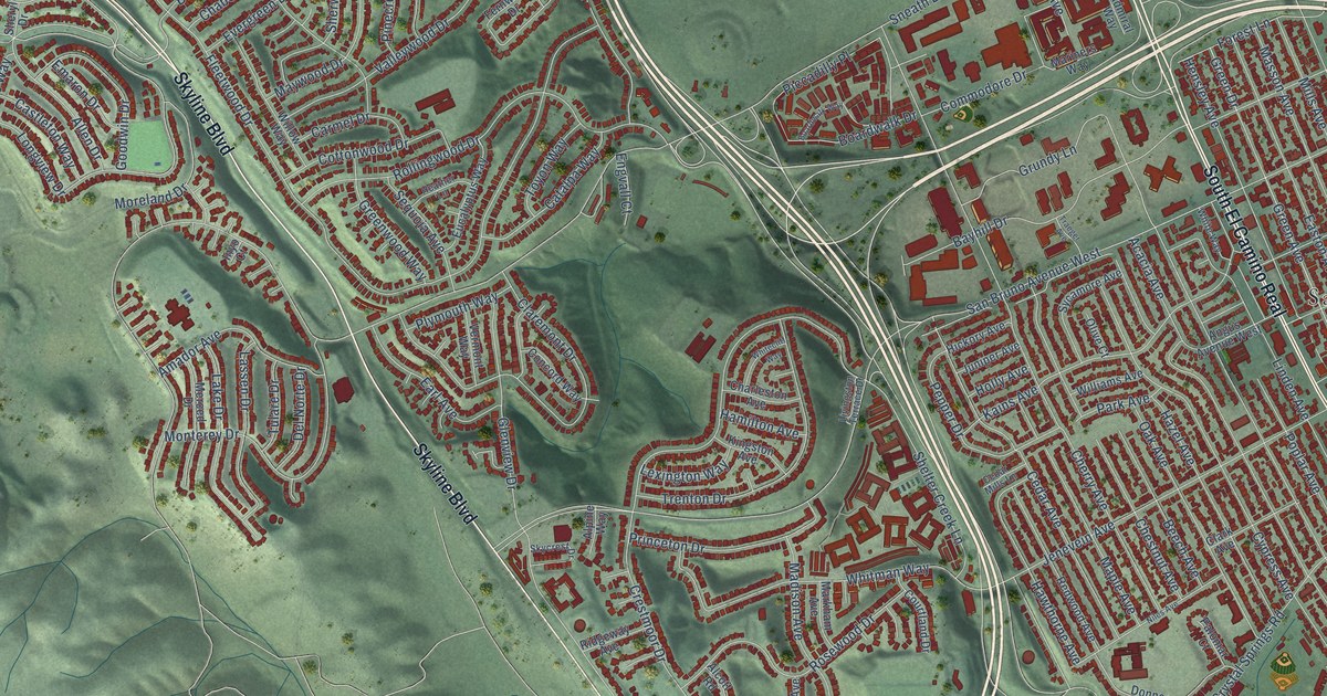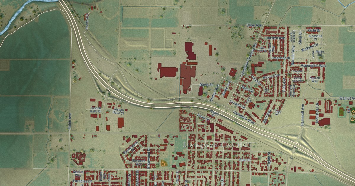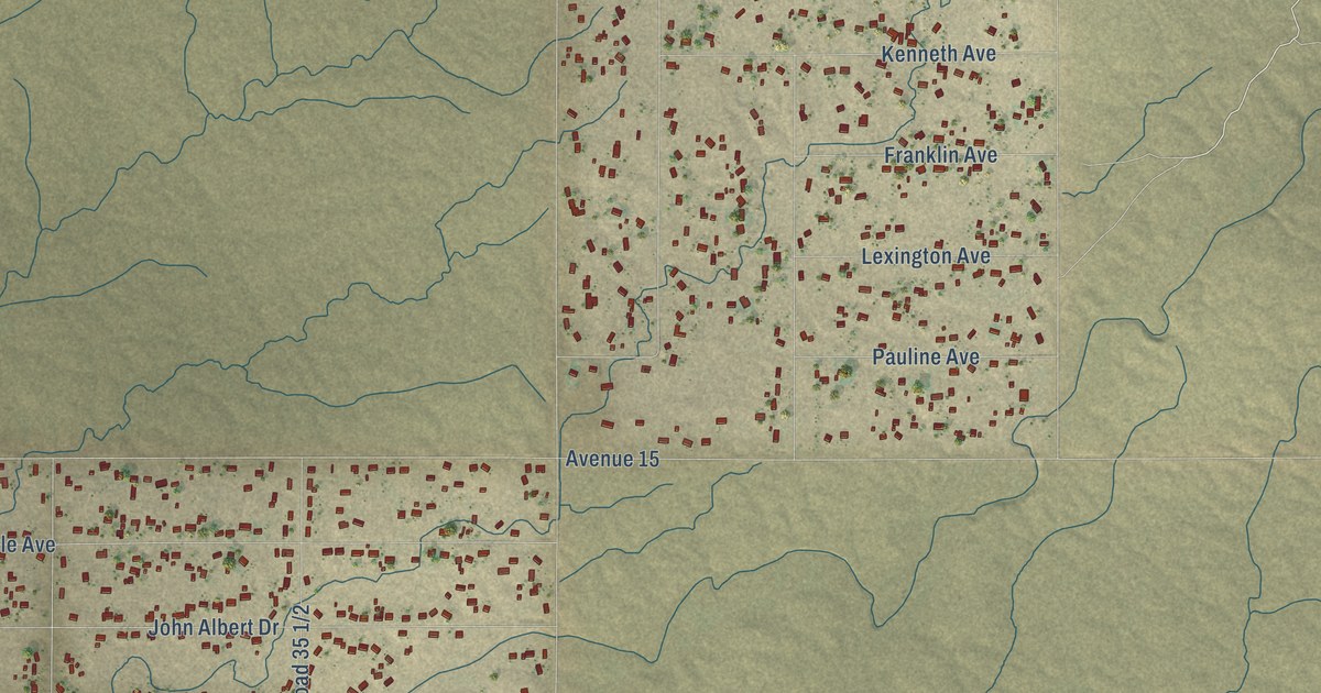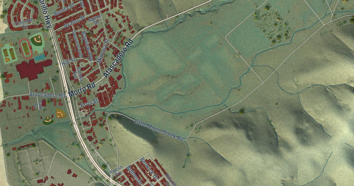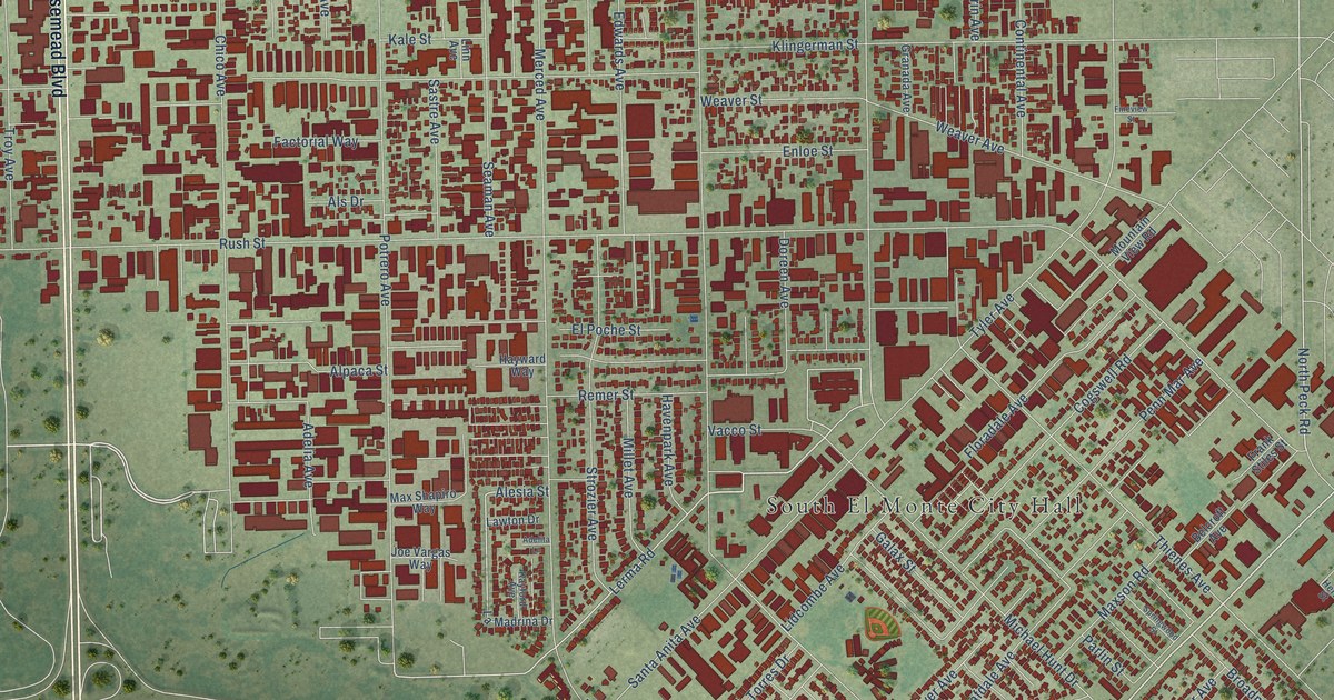
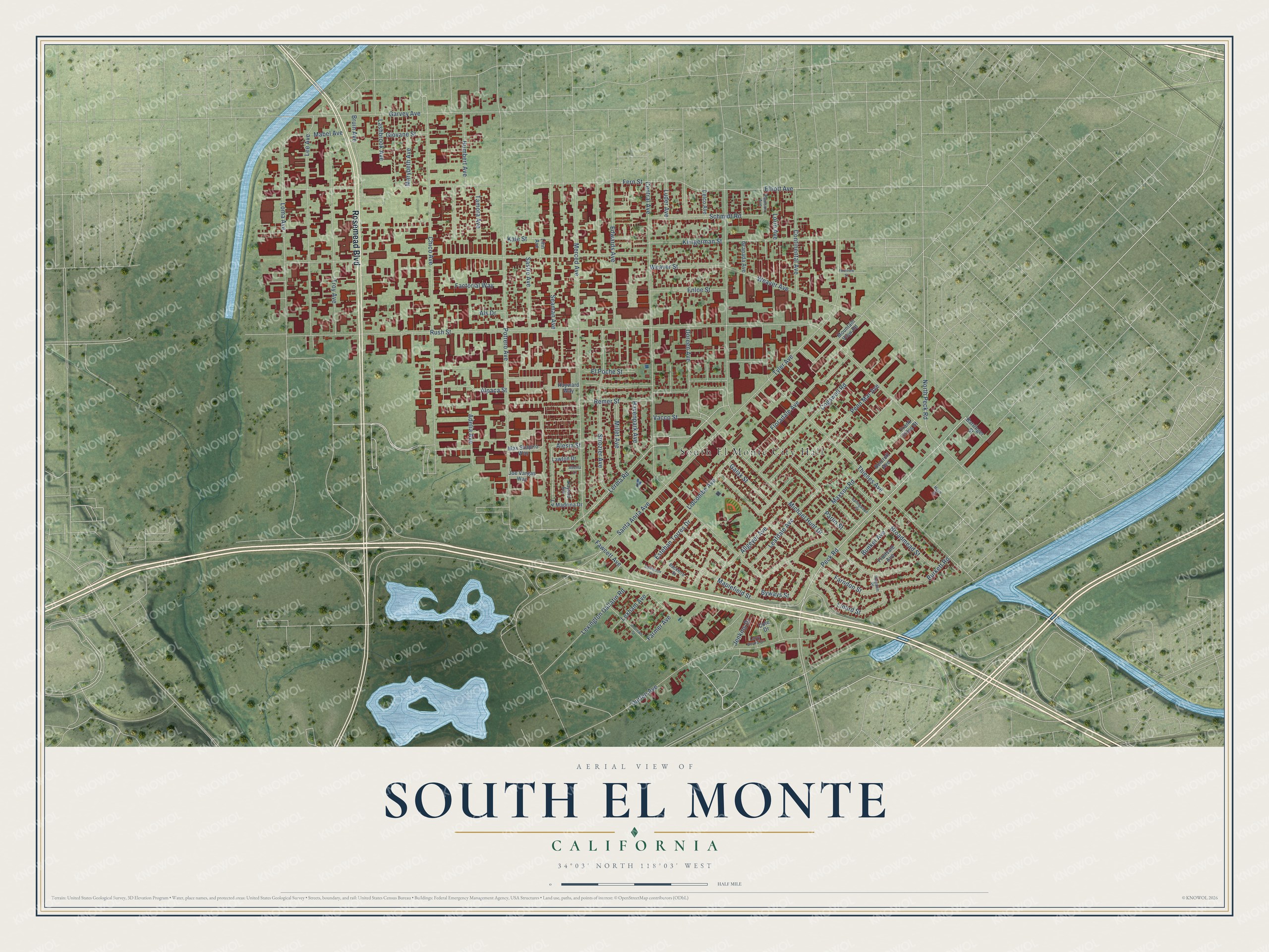
This beautifully detailed map of South El Monte, California was created in 2026 using aerial imagery combined with modern topographical, census, street and landmark data. It's a modern aerial view of South El Monte in Los Angeles County, California, that combines modern data with a vintage aesthetic. The roads feature printed names, and if you look closely you can find your exact house accurately shown in its correct location.
Explore an aerial view of South El Monte, California
On this map you'll find South El Monte City Hall, Rosemead Boulevard, Durfee Avenue, Peck Road, Lerma Road, Seaman Avenue, Elliott Avenue, Remer Street, North Peck Road, Farmer Avenue, Rush Street, Klingerman Street, and more. Each red shape is a building, so zoom in on the preview and look for yours.
South El Monte is a city in Los Angeles County. The Census Bureau counted 19,567 people here in 2020. The map prints the town name in its title panel, with the coordinates below it.
Take a closer look at the South El Monte map
Names on this map
These names are printed on this map.
Places: South El Monte City Hall.
Streets and roads: Rosemead Boulevard, Durfee Avenue, Peck Road, Lerma Road, Seaman Avenue, Elliott Avenue, Remer Street, North Peck Road, Farmer Avenue, Rush Street, Klingerman Street, Central Avenue.
More street names, A to Z
Adelia Avenue, Adelita Lane, Alesia Street, Allgeyer Avenue, Alpaca Street, Als Drive, Andrews Street, Backford Street, Barringer Street, Belcroft Avenue, Broadmead Street, Bruin Avenue, Bunker Avenue, Burkett Road, Byways Street, Chico Avenue, Cogswell Road, Cole Drive, Continental Avenue, Danielson Drive, Delco Avenue, Doreen Avenue, Edwards Avenue, El Poche Street, Enloe Street, Esteban Torres Drive, Factorial Way, Farndon Street, Fawcett Avenue, Fern Street, Fineview Street, Floradale Avenue, Frank Stiles Street, Fruitvale Avenue, Galax Street, Garvey Avenue, Giovane Street, Granada Avenue, Havenpark Avenue, Hayward Way, Herb Street, Humbert Avenue, Jenkins Drive, Joe Vargas Way, Kale Street, Kayann Place, Kayford Avenue, La Madrina Drive, Larry Beard Drive, Lashbrook Avenue, Lawton Drive, Leafdale Avenue, Lee Avenue, Lexham Avenue, Lexington Gallatin Road, Lidcombe Avenue, Linard Street, Linn Avenue, Loma Avenue, Lorin Avenue, Luder Avenue, Mabel Avenue, Maplefield Street, Marybeth Avenue, Max Shapiro Way, Maxson Road, Merced Avenue, Michael Hunt Drive, Millet Avenue, Mountain View Road, Parlin Street, Paulson Avenue, Penn Mar Avenue, Potrero Avenue, Santa Anita Avenue, Sastre Avenue, Schmidt Road, Springwood Street, Strozier Avenue, Tamora Avenue, Thienes Avenue, Troy Avenue, Tyler Avenue, Vacco Street, Weaver Avenue, Weaver Street.
Created by KNOWOL in 2026. The buildings are small red shapes, the roads carry their printed names, and shaded relief shows the shape of the land. The title panel reads "AERIAL VIEW OF SOUTH EL MONTE CALIFORNIA" with 34°03' NORTH 118°03' WEST.
It suits a den, a classroom or a front hall, and it makes a gift for anyone with South El Monte roots. Open the preview and find the block you know. See sizes and frames for the South El Monte map.