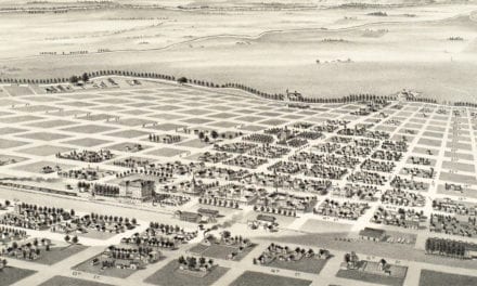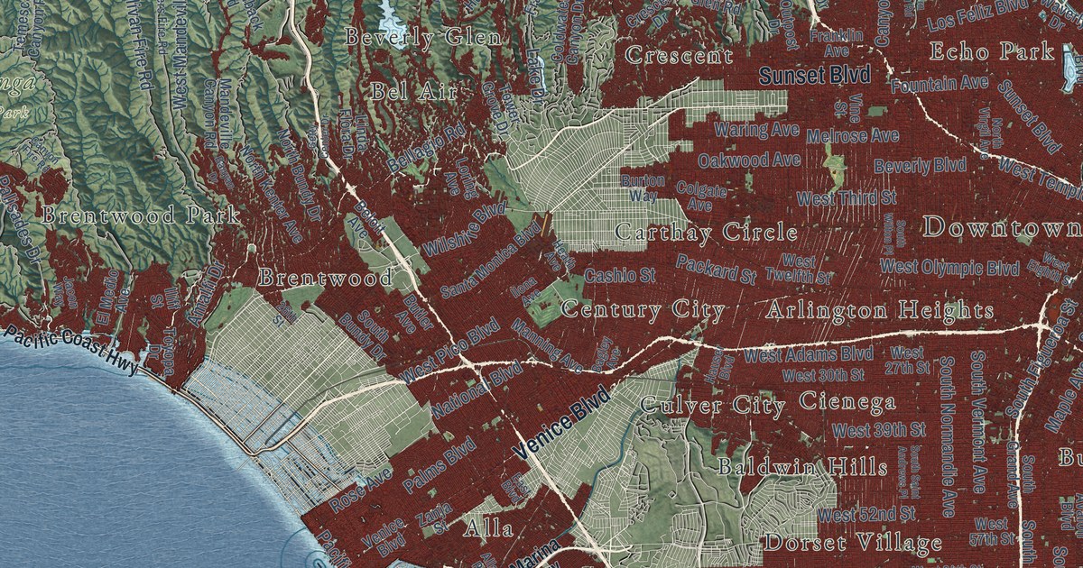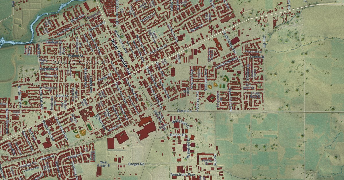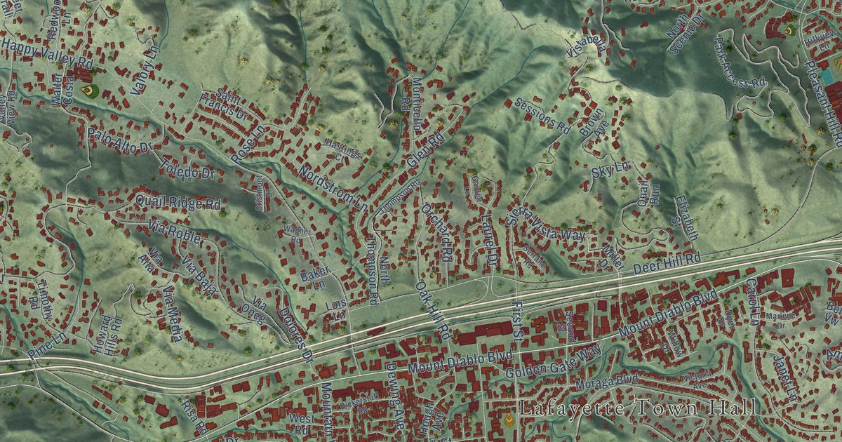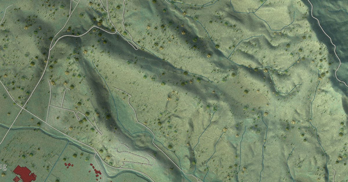
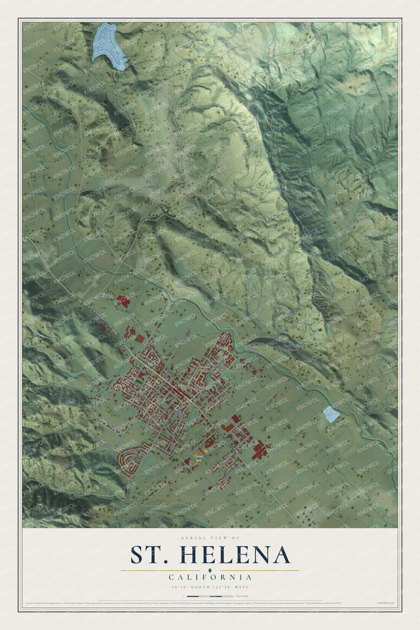
This beautifully detailed map of St. Helena, California was created in 2026 using aerial imagery combined with modern topographical, census, street and landmark data. It's a modern aerial view of St. Helena in Napa County, California, that combines modern data with a vintage aesthetic. The roads feature printed names, and if you look closely you can find your exact house accurately shown in its correct location.
Explore an aerial view of St. Helena, California
On this map you'll find Saint Helena City Hall, Krug, Crane Park, Saint Helena, Main Street, Saint Helena Highway, Sulphur Springs Avenue, Howell Mountain Road, Spring Street, Chaix Lane, Spring Mountain Road, Madrona Avenue, and more. Each red shape is a building, so zoom in on the preview and look for yours.
Here is a piece of St. Helena history, in the words of the record. The record at ohp.parks.ca.gov puts it this way: "Joseph Ballinger Chiles, who first came to California in 1841, erected the mill on Rancho Catacula 1845-56."
St. Helena is a city in Napa County. The Census Bureau counted 5,430 people here in 2020.
Take a closer look at the St. Helena map
Names on this map
These names are printed on this map.
Places: Saint Helena City Hall, Krug, Crane Park and Saint Helena.
Streets and roads: Main Street, Saint Helena Highway, Sulphur Springs Avenue, Howell Mountain Road, Spring Street, Chaix Lane, Spring Mountain Road, Madrona Avenue, Pope Street, Pratt Avenue, Mills Lane, Dowdell Lane.
More street names, A to Z
Adams Street, Allyn Avenue, Big Rock Road, Birch Avenue, Boyson Lane, Brittany Lane, Brown Street, Charter Oak Avenue, Church Street, College Avenue, Crane Avenue, Crinella Drive, Dean York Lane, Deer Park Road, El Bonita Avenue, Elmhurst Avenue, Fir Hill Drive, Fulton Lane, Grayson Avenue, Hillview Place, Hollis Lane, Hudson Avenue, Hunt Avenue, Kearney Street, La Fata Street, Lafata Street, Laguna Seca Court, Lewelling Lane, Mariposa Lane, McCorkle Avenue, McCormick Street, Mitchell Drive, Oak Avenue, Park Street, Paseo Grand Drive, Pine Street, Pinot Way, Railroad Avenue, Reisling Way, Ridgeview Lane, Saint James Drive, Scott Street, Silverado Trail South, Starr Avenue, Stockton Street, Sylvaner Avenue, Tainter Street, Vallejo Street, Valley View Street, Vineyard Avenue, Vintage Avenue.
Created by KNOWOL in 2026. The buildings are small red shapes, the roads carry their printed names, and shaded relief shows the shape of the land. The title panel reads "AERIAL VIEW OF ST. HELENA CALIFORNIA" with 38°30' NORTH 122°28' WEST.
It suits a den, a classroom or a front hall, and it makes a gift for anyone with St. Helena roots. Open the preview and find the block you know. See sizes and frames for the St. Helena map.