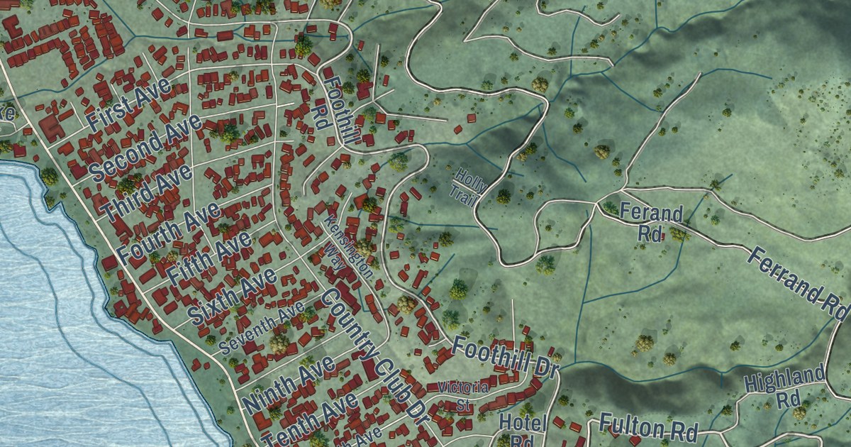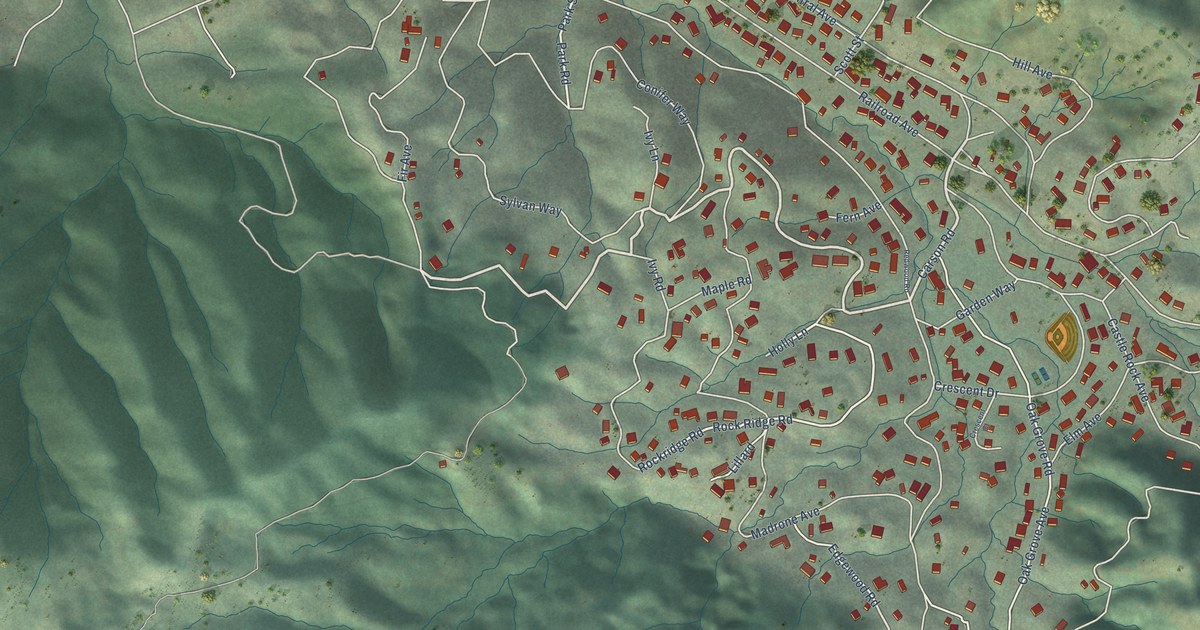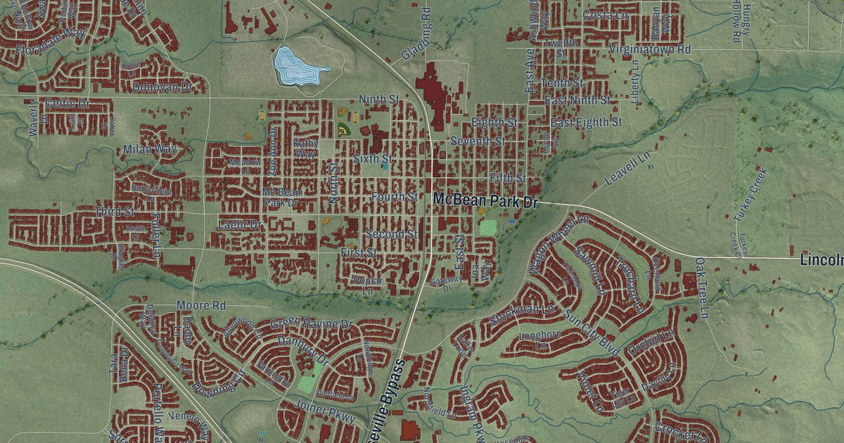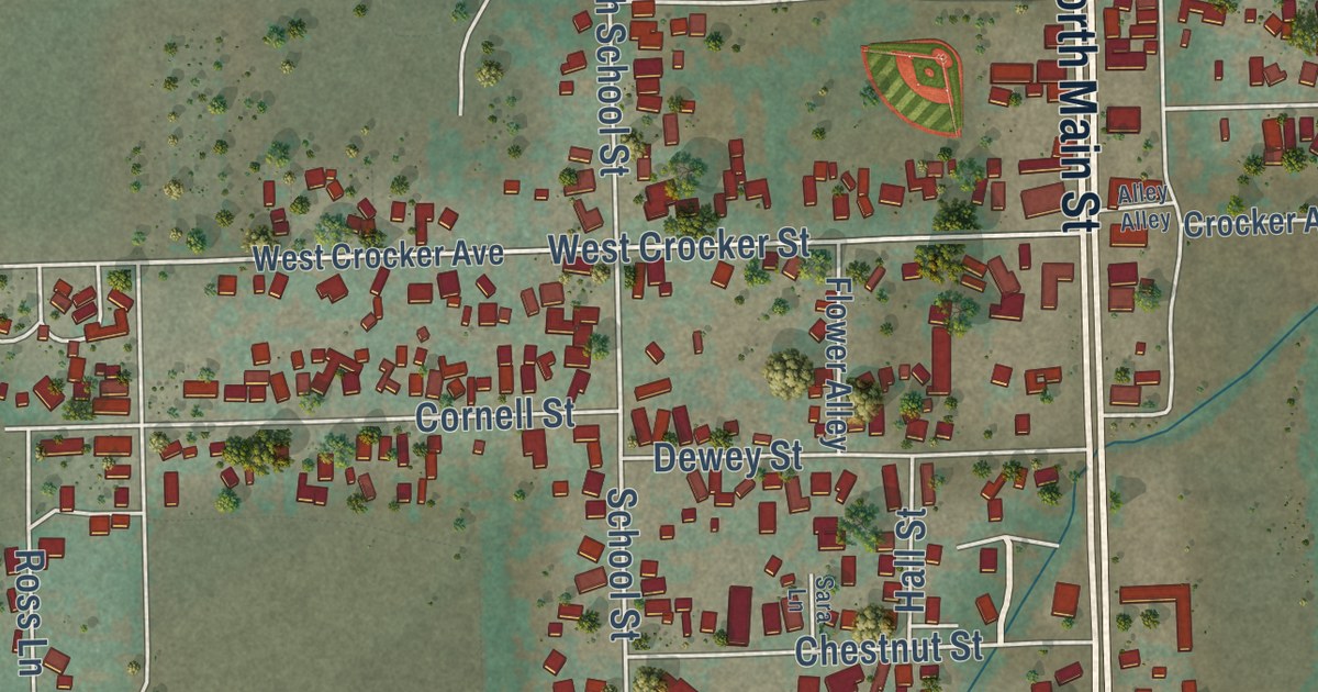
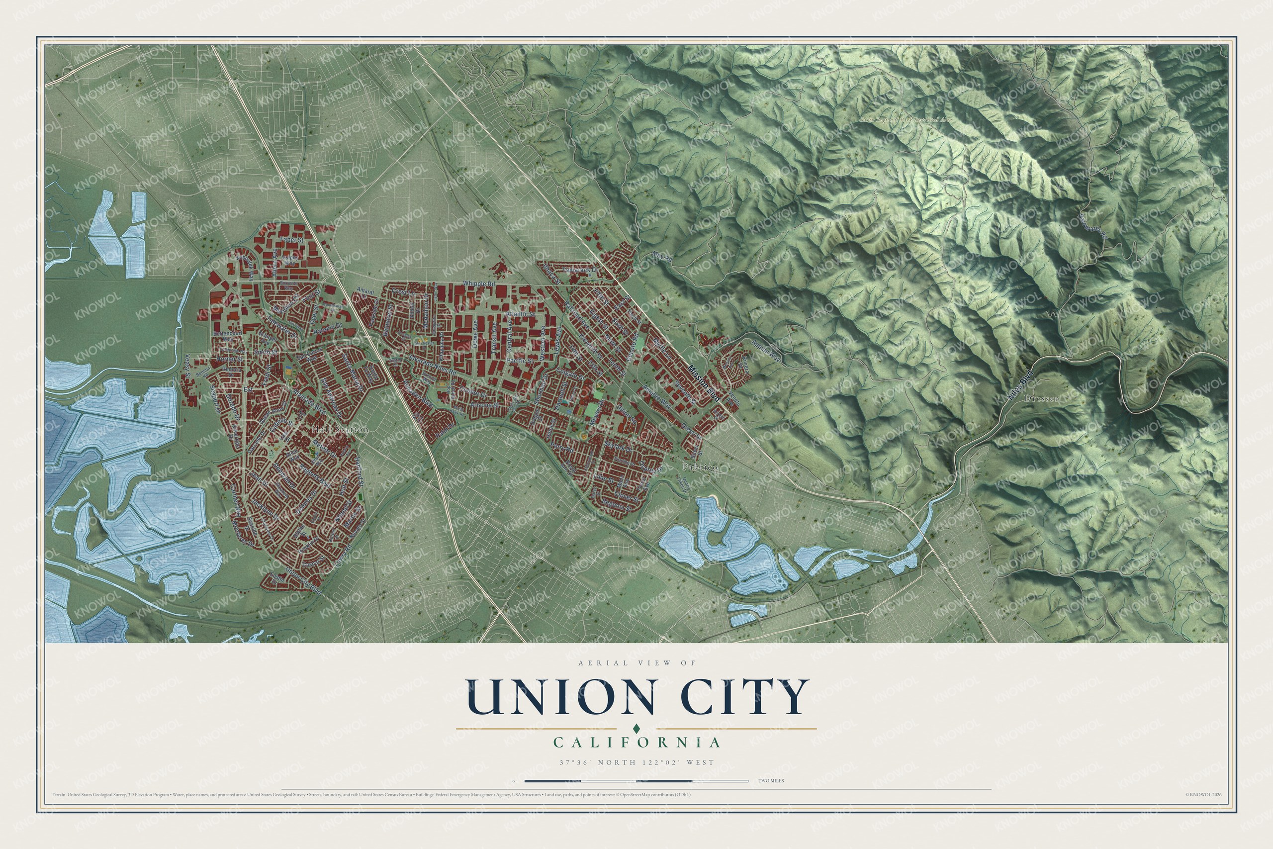
This beautifully detailed map of Union City, California was created in 2026 using aerial imagery combined with modern topographical, census, street and landmark data. It’s a one-of-a-kind view of Union City that combines accurate data with a vintage aesthetic. The map shows every building in its true location, many of the roads carry their names, and the shaded topographic relief shows the shape of the land.
Explore an aerial view of Union City, California
On the map you’ll find Dresser, Hall Station, Pabrico, and Extension, along with Niles Boulevard, Mission Boulevard, Alvarado Boulevard, Appian Way, Whipple Road, Remora Drive, Lowry Road, Green Street, and more. If you look closely you can even find your house accurately drawn in its correct location. Zoom in on the preview to look for yours.
Did you know this piece of Union City, California history?
From Ohp.parks.ca.gov: "Dyer, 'father of the American beet sugar industry,' built the factory in 1870 on a corner of his farm."
Take a closer look at the Union City map
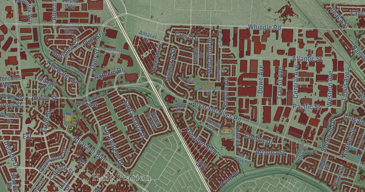
Street and place names on the Union City, California map
These names are printed on the map of Union City, California.
Places: Garin Regional Park Restricted Area, Hall Station, Dresser and Pabrico.
Streets and roads: Mission Boulevard, Niles Boulevard, Whipple Road, Alvarado Boulevard, Regents Boulevard, Hanford Street, Dorado Drive, Extension, Tidewater Drive, Niland Street, Jean Drive, Central Avenue.
More street names, A to Z
13th Street, 14th Street, Ahern Avenue, Alice Way, Almaden Boulevard, Alvarado Niles Road, Amaleo Way, Amaral Court, Appian Way, Arizona Street, Arroyo Drive, Atlantic Street, Balmoral Street, Begonia Street, Benson Road, Bettencourt Way, Blythe Street, Brenda Way, Cabello Street, Cambridge Way, Carmel Way, Carr Way, Caspar Street, Cherrywood Drive, Christine Drive, Clover Street, Colgate Drive, Condor Drive, Copa del Oro Drive, Courthouse Drive, Crest Lane, Daisy Street, Darcelle Drive, Deborah Drive, Decoto Road, Delores Drive, Douglas Street, Dowe Avenue, Dyer Court, Dyer Street, Eastin Drive, East Street, Eighth Street, Eleventh Street, Elizabeth Way, Ellen Way, Empire Street, Faber Street, Farrol Avenue, Fifth Street, Fiji Circle, Flint Street, Fredi Street, Granger Avenue, Green Street, Hartnell Street, Hilton Street, Holt Street, Hop Ranch Road, Horner Street, Ithaca Street, Jacklynn Drive, Kitayama Drive, Kohoutek Way, Korbel Street, Lewis Avenue, Lilac Street, Lisa Drive, Liston Way, Lowry Road, Mann Avenue, Marsh Hawk Road, Martin Street, May Road, Medallion Drive, Meridien Circle, Meteor Drive, Meyers Drive, Monaco Avenue, Monterey Drive, Myrtle Lane, Ninth Street, Novato Street, Oregon Street, Osprey Drive, Pacific Street, Palm Drive, Palomares Road, Parkside Drive, Perry Road, Polaris Avenue, Quarry Lakes Drive, Queen Anne Drive, Railroad Avenue, Ratekin Drive, Remora Drive, Riviera Drive, Rocklin Drive, Royal Ann Drive, San Andreas Drive, San Carlos Way, Santa Fe Way, Santa Maria Drive, Seaport Drive, Seaside Drive, Seventh Street, Sherman Drive, Shield Drive, Silver Street, Silvertide Drive, Sixth Street, Skylark Drive, Smith Street, Sorrento Way, Starling Drive, Sunsprite Drive, Tamarack Drive, Tenth Street, Third Street, Transit Avenue, Trefry Court, Tulane Street, Union City Boulevard, Union Square, Veasy Street, Veneto Avenue, Volpey Way, Western Avenue, Winchester Drive.
See the Union City, California map on a wall
The Union City map as an 18 x 24 inch print in a black frame.

This beautifully detailed map of Union City makes an attractive addition to your office, library, or den, and it can even be used to teach children the geography and history of the area. It also makes a great gift for anyone with Union City roots. When you’re done exploring, click here to get your copy of the Union City map.