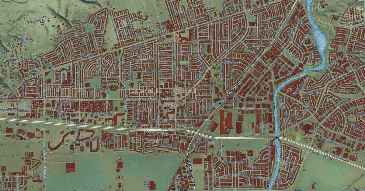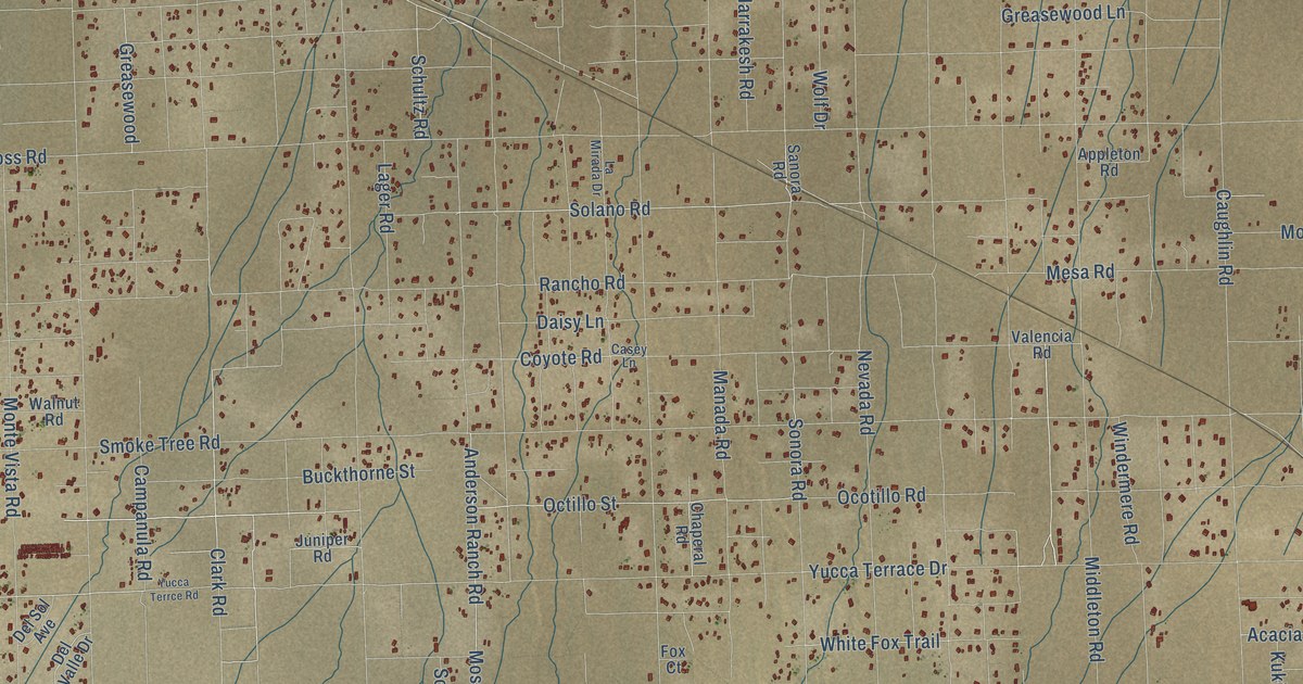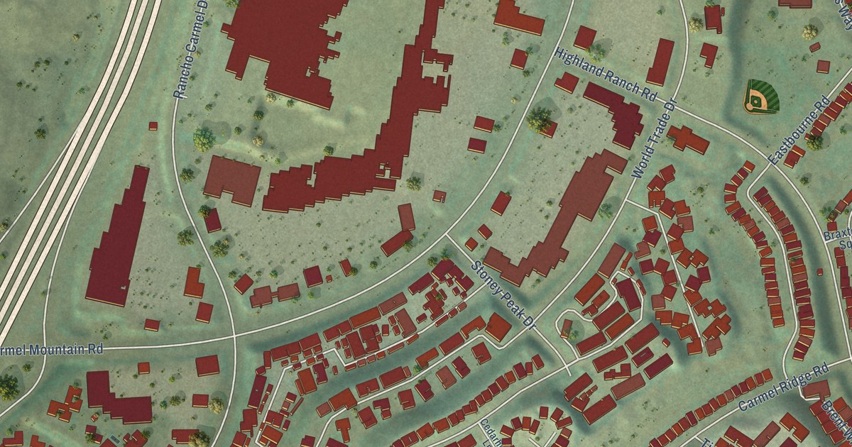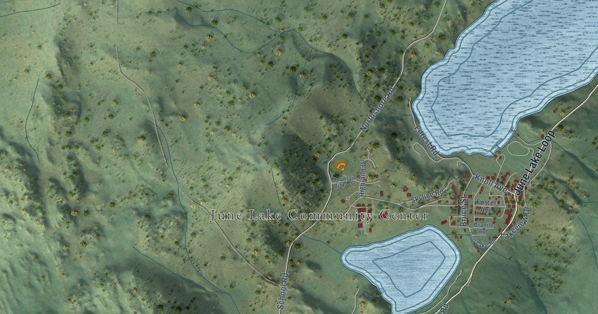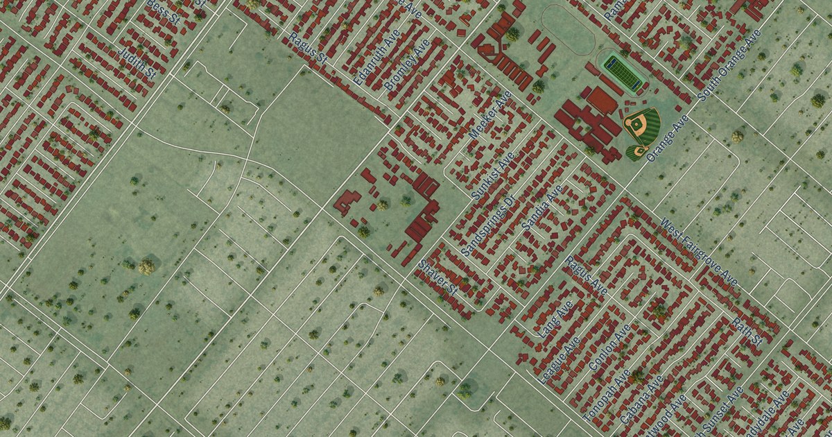
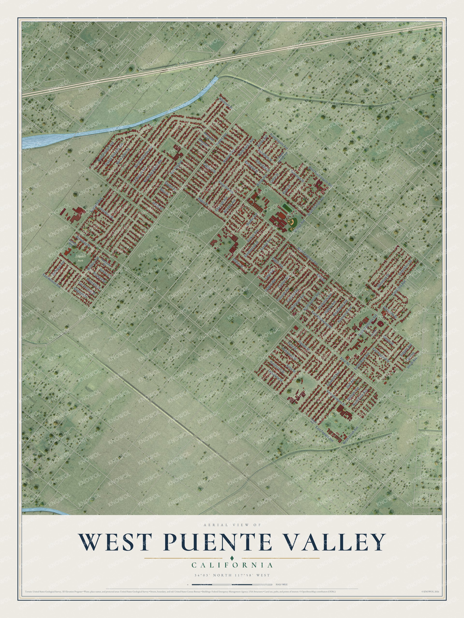
This beautifully detailed map of West Puente Valley, California was created in 2026 using aerial imagery combined with modern topographical, census, street and landmark data. It's a modern aerial view of West Puente Valley in Los Angeles County, California, that combines modern data with a vintage aesthetic. The roads feature printed names, and if you look closely you can find your exact house accurately shown in its correct location.
Explore an aerial view of West Puente Valley, California
On this map you'll find Bassett Park, Willow Avenue, East Temple Avenue, Amar Road, Millbury Avenue, Vineland Avenue, Fairgrove Avenue, Van Wig Avenue, Evanwood Avenue, Rath Street, Le Borgne Avenue, Barrydale Street, and more. Each red shape is a building, so zoom in on the preview and look for yours.
West Puente Valley is a community in Los Angeles County. The Census Bureau counted 22,959 people here in 2020. The map prints the town name in its title panel, with the coordinates below it.
Take a closer look at the West Puente Valley map
Names on this map
These names are printed on this map.
Places: Bassett Park.
Streets and roads: Willow Avenue, East Temple Avenue, Amar Road, Millbury Avenue, Vineland Avenue, Fairgrove Avenue, Van Wig Avenue, Evanwood Avenue, Rath Street, Le Borgne Avenue, Barrydale Street, North Big Dalton Avenue.
More street names, A to Z
Aldgate Avenue, Ardilla Avenue, Austen Way, Beckner Street, Bess Street, Broadmoor Avenue, Bromley Avenue, Browning Place, Cabana Avenue, Cagliero Street, California Avenue, Clintwood Avenue, Conlon Avenue, Dancer Street, Dillerdale Street, Donaldale Street, Duff Avenue, East Blackwood Street, East Giordano Street, East Hayland Street, East Nelson Avenue, Ector Street, Edanruth Avenue, Egan Avenue, Flagstaff Street, Flanner Street, Flynn Street, Foxworth Avenue, Francisquito Avenue, Giordano Street, Glenshaw Drive, Greenberry Drive, Hartsville Street, Homeward Street, Hutchcroft Street, Janetdale Street, Joycedale Street, Judith Street, Lang Avenue, Lassalette Street, Las Vecinas Drive, League Avenue, Mayland Avenue, Meeker Avenue, Melham Avenue, Moccasin Street, Nolandale Street, North Ahern Drive, North California Avenue, North Dade Avenue, North Feather Avenue, North Siesta Avenue, North Stichman Avenue, North Sunset Avenue, North Unruh Avenue, Orange Avenue, Orange Blossom Avenue, Prichard Street, Puente Avenue, Radway Avenue, Ragus Avenue, Ragus Street, Rama Drive, Saint Malo Venue, Sandia Avenue, Sandsprings Drive, Sandy Hook Avenue, Sauder Street, Shadydale Avenue, Shaver Street, Snowdale Street, South Orange Avenue, South Willow Avenue, Stichman Avenue, Sunkist Avenue, Tamar Drive, Temple Avenue, Tonopah Avenue, Unruh Avenue, West Fairgrove Avenue, West Francisquito Avenue, Whitesell Street.
Created by KNOWOL in 2026. The buildings are small red shapes, the roads carry their printed names, and shaded relief shows the shape of the land. The title panel reads "AERIAL VIEW OF WEST PUENTE VALLEY CALIFORNIA" with 34°03' NORTH 117°58' WEST.
It suits a den, a classroom or a front hall, and it makes a gift for anyone with West Puente Valley roots. Open the preview and find the block you know. See sizes and frames for the West Puente Valley map.