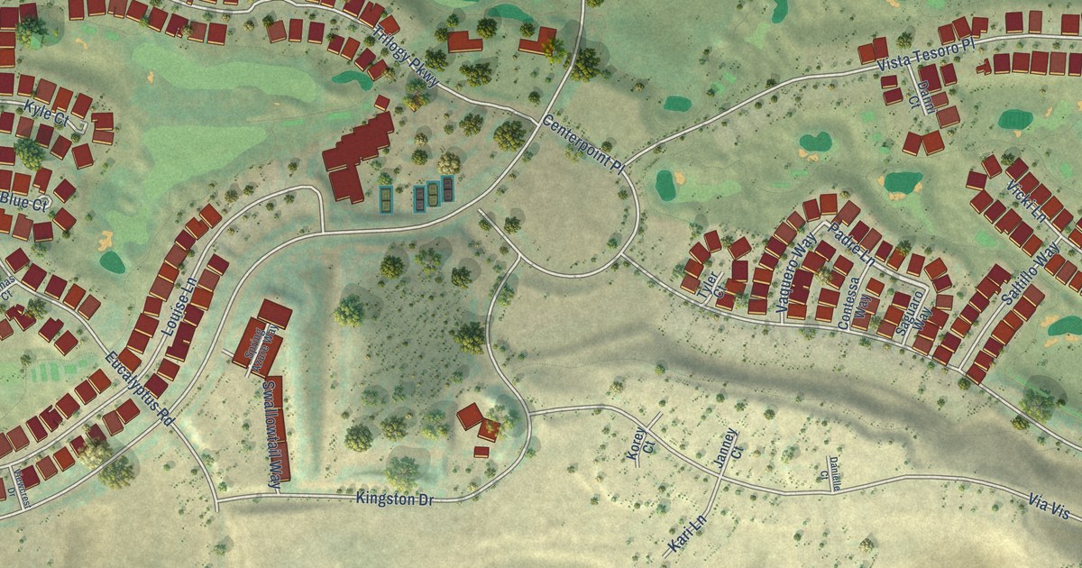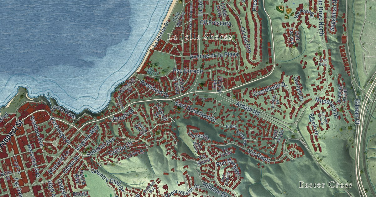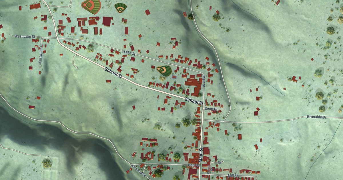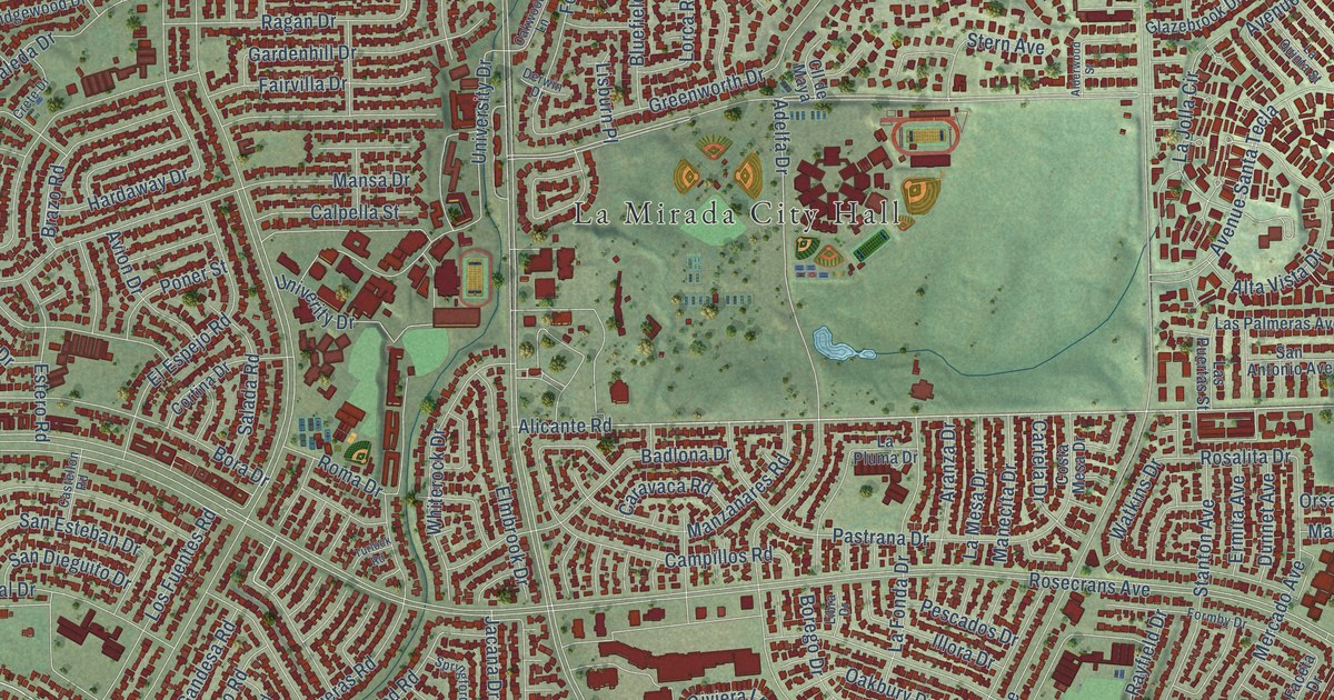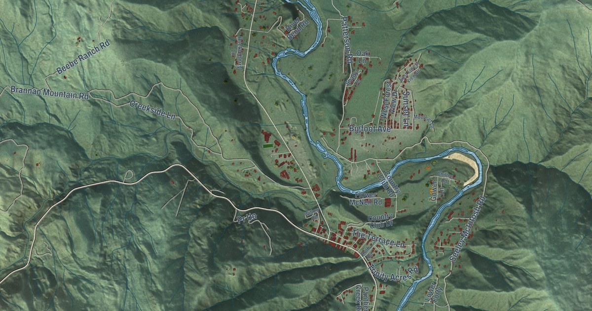
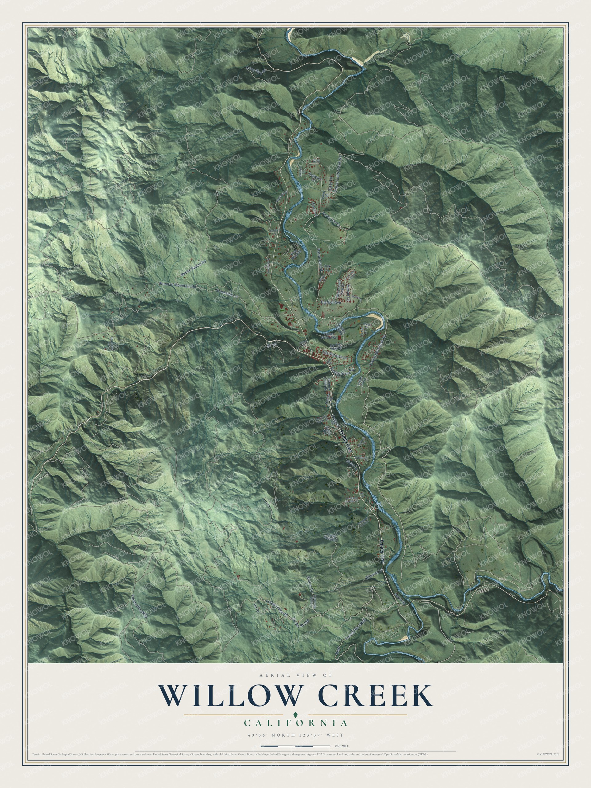
This beautifully detailed map of Willow Creek, California was created in 2026 using aerial imagery combined with modern topographical, census, street and landmark data. It's a modern aerial view of Willow Creek in Humboldt County, California, that combines modern data with a vintage aesthetic. The roads feature printed names, and if you look closely you can find your exact house accurately shown in its correct location.
Explore an aerial view of Willow Creek, California
On this map you'll find Trinity Highway, Patterson Road, Seeley McIntosh Road, Friday Ridge Road, Brannan Mountain Road, Beebe Ranch Road, Staton Drive, Horse Linto Creek Road, Creekside Lane, Nfs6, The Terrace Lane, Gypo Lane, and more. Each red shape is a building, so zoom in on the preview and look for yours.
Every town has a first chapter, and Willow Creek is no exception. Miners and pack train drivers headed from the coast to the inland valleys named Willow Creek in 1851 for the heavy growth of willows where the creek meets the Trinity River. Other miners called it China Flat the next year for its strong Chinese presence. When another China Flat turned up in the Mother Lode, the name went back to Willow Creek to honor the pack train drivers and miners. In the 1920s the Gambi family brought grapevines from Santa Cruz to the Willow Creek area and began making wine there. That's from the Federal Register.
Willow Creek is a community in Humboldt County. The Census Bureau counted 1,720 people here in 2020.
Take a closer look at the Willow Creek map
Names on this map
These names are printed on this map.
Streets and roads: Trinity Highway, Patterson Road, Seeley McIntosh Road, Friday Ridge Road, Brannan Mountain Road, Beebe Ranch Road, Staton Drive, Horse Linto Creek Road, Creekside Lane, Nfs6, The Terrace Lane, Gypo Lane.
More street names, A to Z
Bigfoot Avenue, Bradburn Lane, Brunhilda Lane, Butterfly Creek Road, Chilton Road, Country Club Drive, Country Club Road, Dogwood Lane, East Forest View Drive, Easy Lane, Enchanted Spring Lane, Enchanted Springs Lane, Fir Lane, Flower McNeil Road, Gower Lane, Gulch Road, Hodgson Road, Huckleberry Lane, Kimberly Drive, Lower Forty, Martin Road, Moonset Lane, Oak Lane, Orchard Lane, Panther Creek Road, Panther Road, Patrica Lane, Peach Tree Lane, Pony Lane, Pr Un, Riteway Lane, River Bend Road, Robin Lane, Roth Road, Roy Lane, Shady Lane, Sunset Lane, Sunset Place, Trinity Acres Road, Trinity View Road, Un Pr, West Forest View Drive, Willow Road.
See it on a wall
The Willow Creek map as a framed print. Swipe for more.


Created by KNOWOL in 2026. The buildings are small red shapes, the roads carry their printed names, and shaded relief shows the shape of the land. The title panel reads "AERIAL VIEW OF WILLOW CREEK, CALIFORNIA" with 40°56' NORTH 123°37' WEST.
Hang it in the hallway, the office or the cabin, or give it to someone who left Willow Creek and still calls it home. Open the preview and look for a street you know. See sizes and frames for the Willow Creek map.