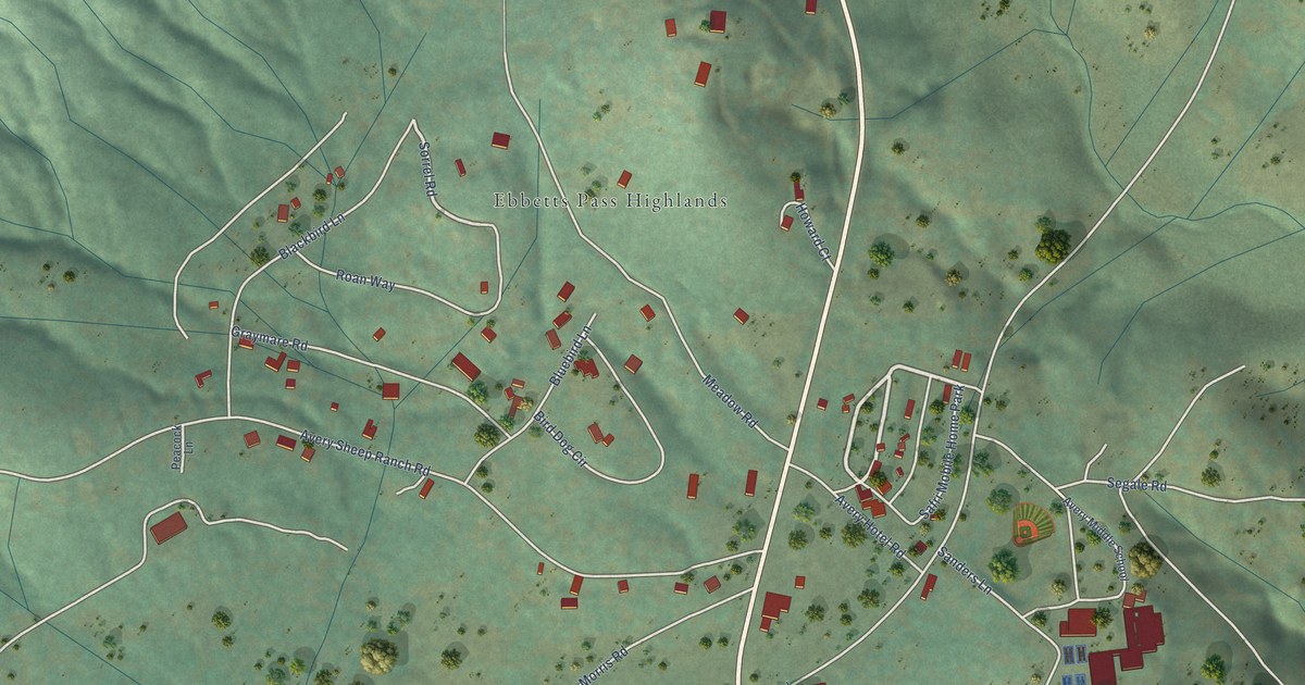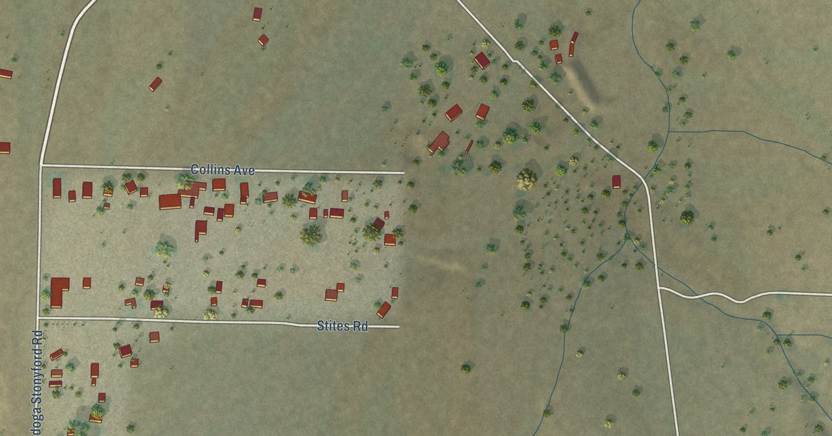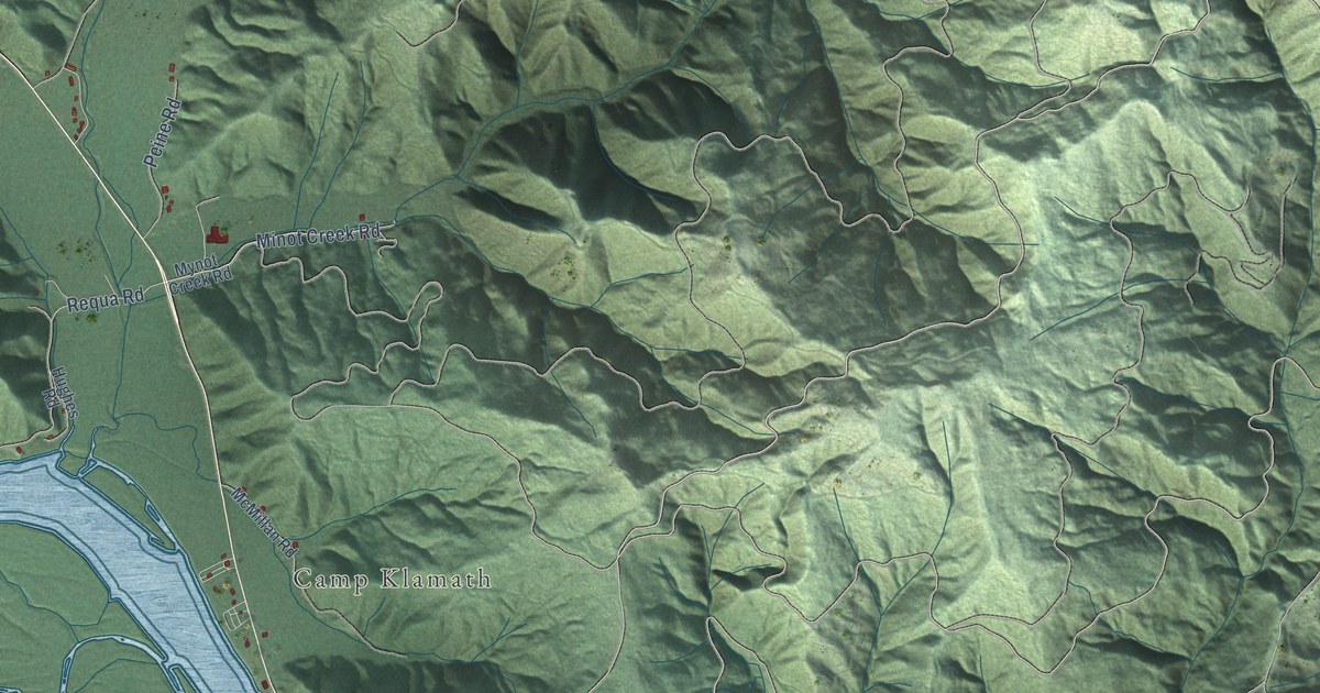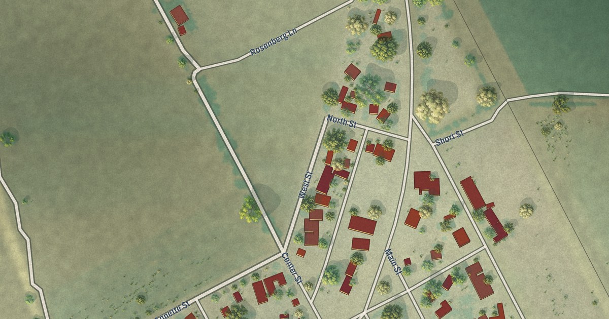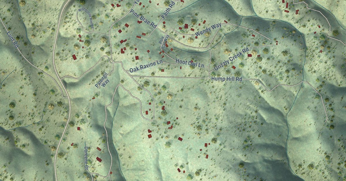
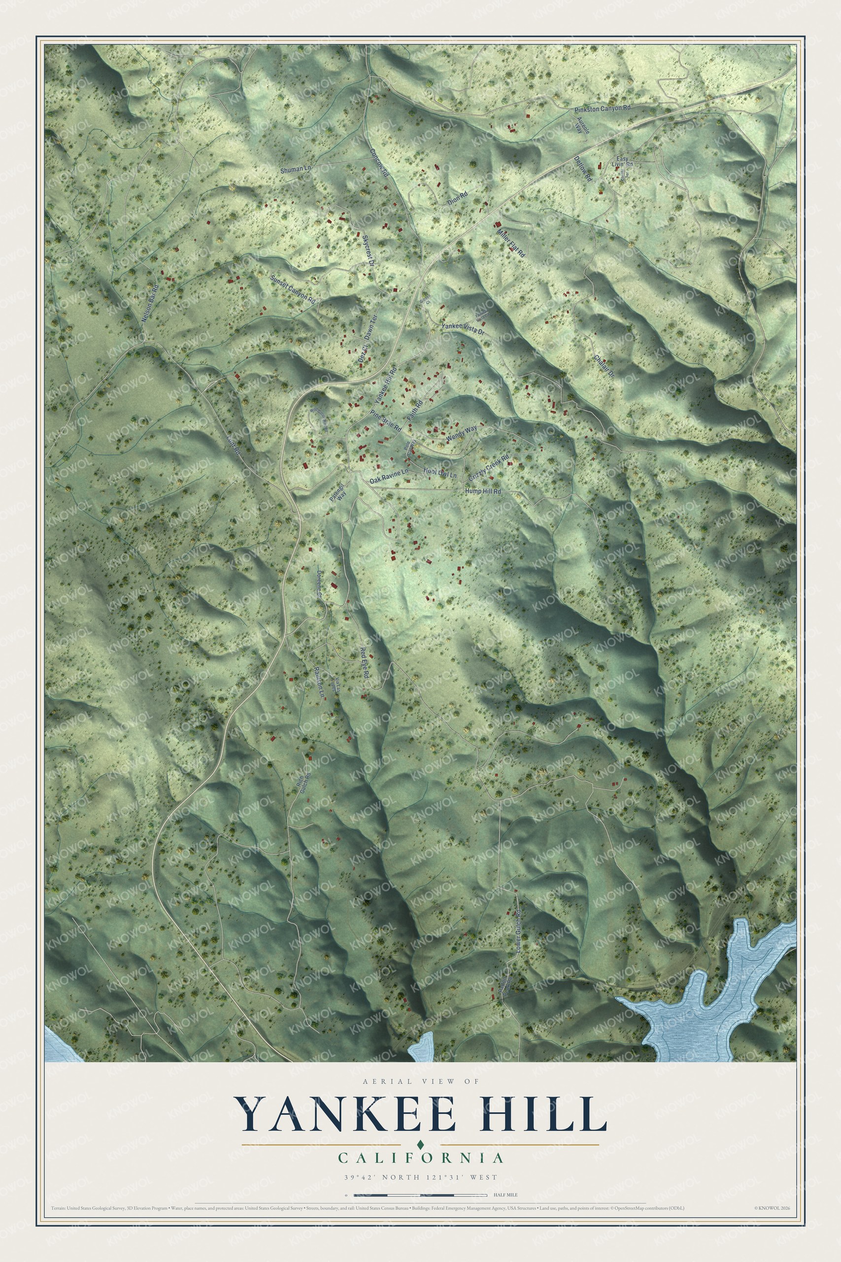
This beautifully detailed map of Yankee Hill, California was created in 2026 using aerial imagery combined with modern topographical, census, street and landmark data. It's a modern aerial view of Yankee Hill in Butte County, California, that combines modern data with a vintage aesthetic. The roads feature printed names, and if you look closely you can find your exact house accurately shown in its correct location.
Explore an aerial view of Yankee Hill, California
On this map you'll find Yankee Hill Road, Lower Gulch Road, Red Eye Road, Yankee Vista Drive, Lunt Road, Pinkston Canyon Road, Hump Hill Road, Chalair Drive, Concow Road, Sunset Canyon Road, Pine Brae Road, Skycrest Drive, and more. Each red shape is a building, so zoom in on the preview and look for yours.
Yankee Hill is a community in Butte County. The Census Bureau counted 260 people here in 2020. Yankee Hill sits about 4 miles north of Cherokee, 5 miles south of Concow and 6 miles southeast of Paradise. The map prints the town name in its title panel, with the coordinates below it.
Take a closer look at the Yankee Hill map
Names on this map
These names are printed on this map.
Streets and roads: Yankee Hill Road, Lower Gulch Road, Red Eye Road, Yankee Vista Drive, Lunt Road, Pinkston Canyon Road, Hump Hill Road, Chalair Drive, Concow Road, Sunset Canyon Road, Pine Brae Road, Skycrest Drive.
More street names, A to Z
Aureole Way, Cooter Terrace, Dawn Terrace, Detlow Road, Dez Court, Dion Road, Doreene Court, Easy Livin' Road, Faith Road, Gibson Court, Grizzly Creek Road, Hoot Owl Lane, Miller Flat Road, Nelson Bar Road, Oak Ravine Lane, Patengil Way, Patton Peak Road, Pole Cat Way, Raulson Lane, Rich Gulch Road, Shuman Lane, Via Las Lupes, Wendy Way, Wild Goose Rim Road, Yankee Vista Circle.
See it on a wall
The Yankee Hill map as a framed print. Swipe for more.


Created by KNOWOL in 2026. The buildings are small red shapes, the roads carry their printed names, and shaded relief shows the shape of the land. The title panel reads "AERIAL VIEW OF YANKEE HILL, CALIFORNIA" with 39°42' NORTH 121°31' WEST.
It looks right in a kitchen, an office or a den, and it's a gift for anyone who grew up in Yankee Hill or moved away. Open the preview and find your street. See sizes and frames for the Yankee Hill map.