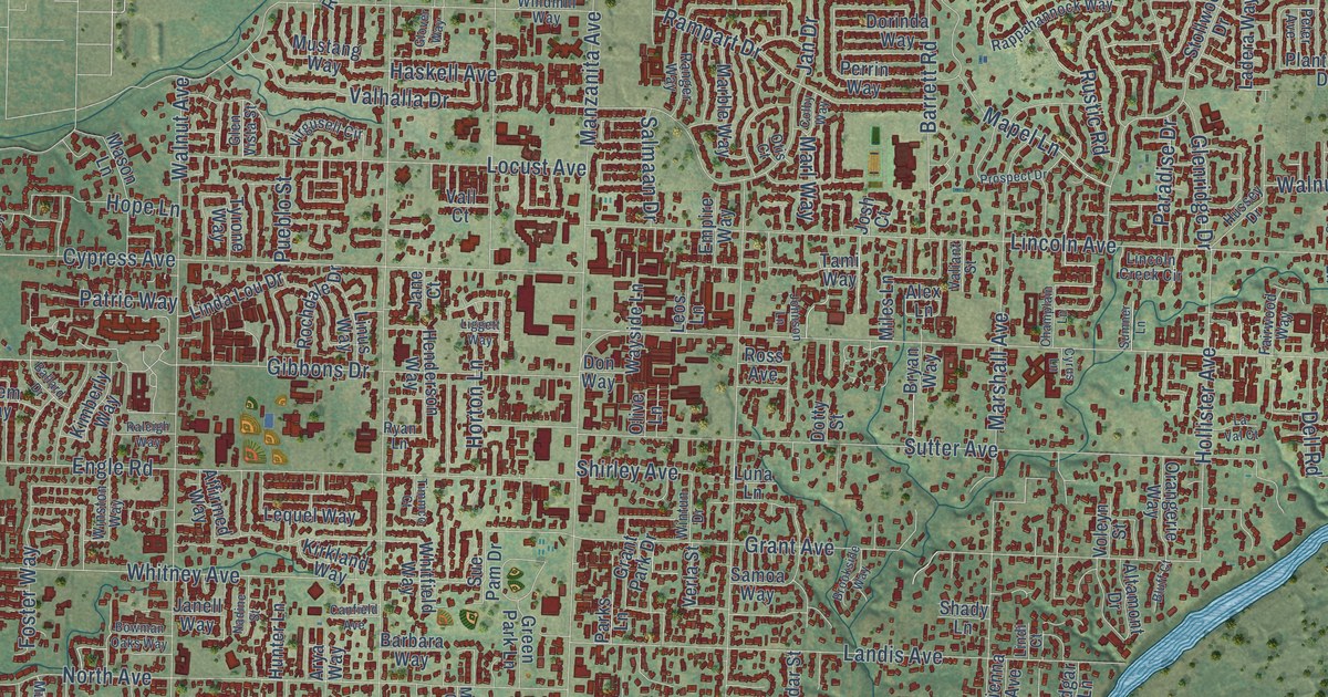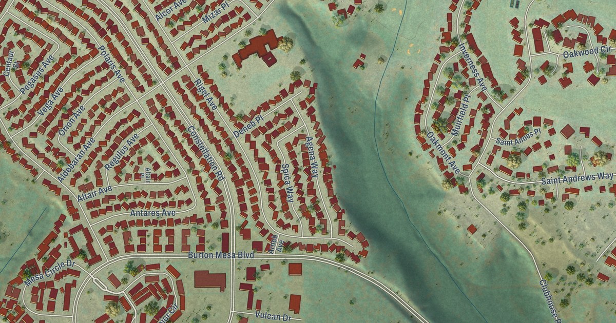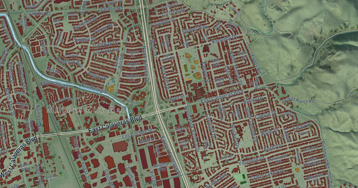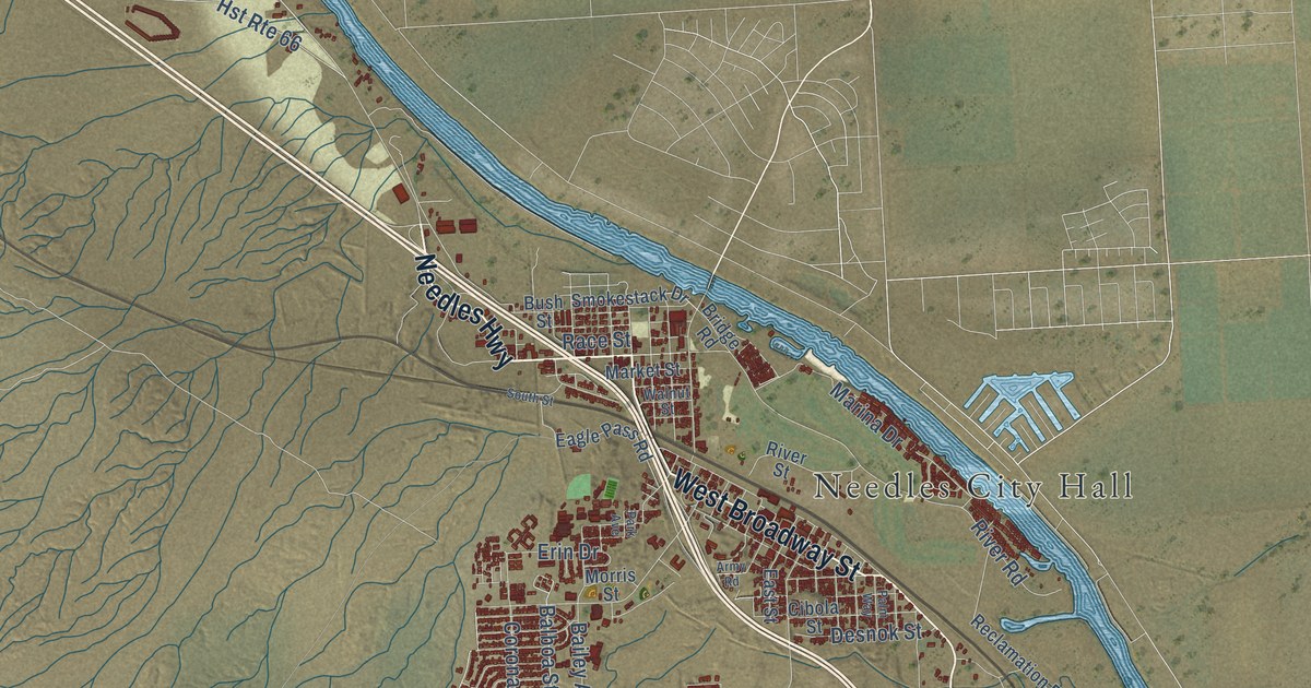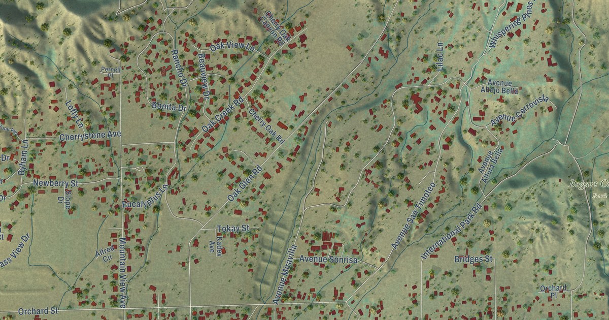
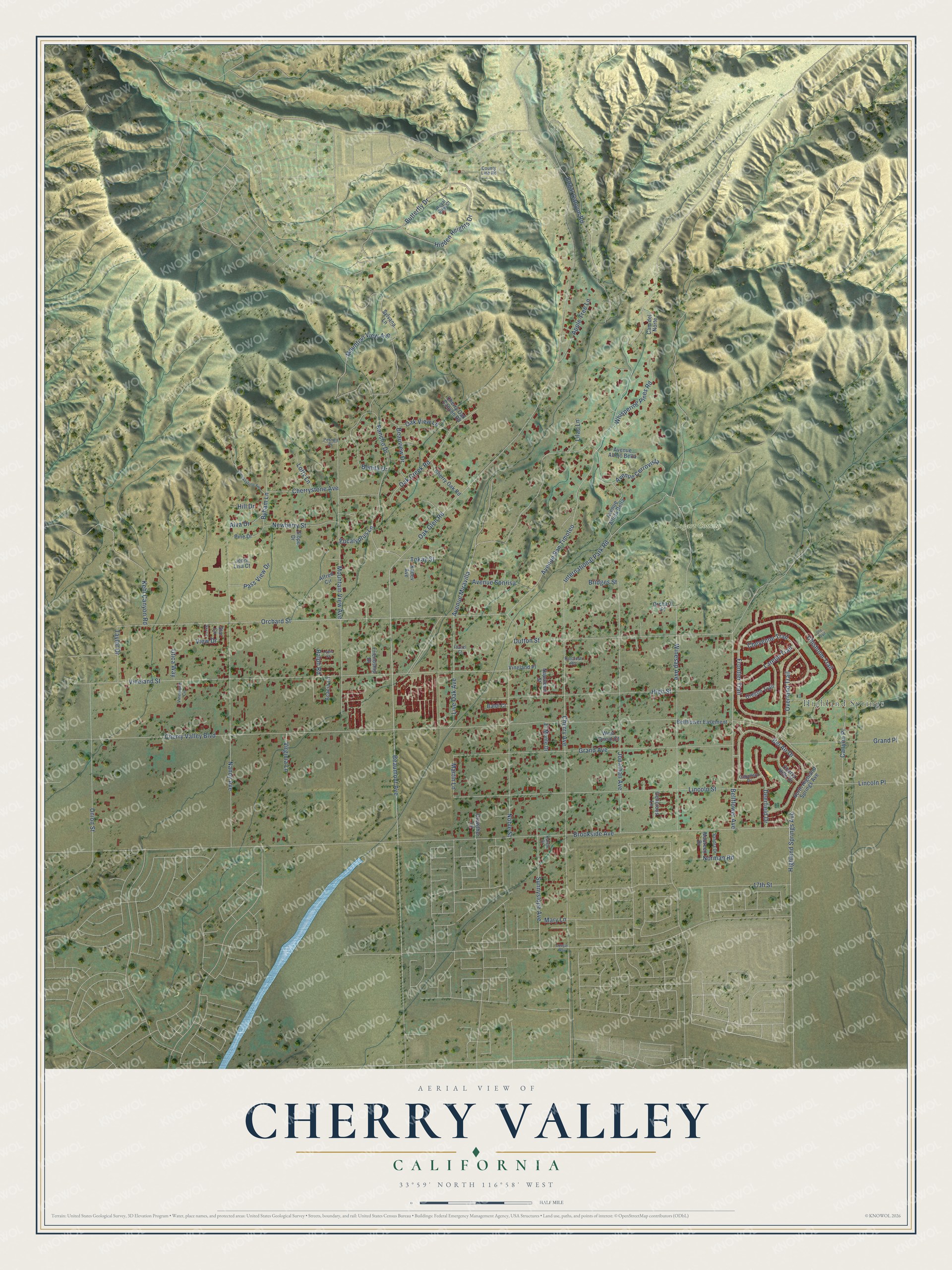
This beautifully detailed map of Cherry Valley, California was created in 2026 using aerial imagery combined with modern topographical, census, street and landmark data. It's a modern aerial view of Cherry Valley in Riverside County, California, that combines modern data with a vintage aesthetic. The roads feature printed names, and if you look closely you can find your exact house accurately shown in its correct location.
Explore an aerial view of Cherry Valley, California
On this map you'll find Highland Springs, Bogart County Park, Orchard Street, Avenue San Timoteo, Avenue Miravilla, Cherry Valley Boulevard, Brookside Avenue, Oak Glen Road, Vineland Street, Cherry Avenue, Nancy Avenue, Mountain View Avenue, and more. Each red shape is a building, so zoom in on the preview and look for yours.
Every town has a first chapter, and Cherry Valley is no exception. The Riverside County History puts it this way: "In 1909 a school was constructed in Cherry Valley and is used as a primary school to accommodate the residents of that part of Beaumont."
Cherry Valley is a community in Riverside County. The Census Bureau counted 6,509 people here in 2020.
Take a closer look at the Cherry Valley map
Names on this map
These names are printed on this map.
Places: Highland Springs and Bogart County Park.
Streets and roads: Orchard Street, Avenue San Timoteo, Avenue Miravilla, Cherry Valley Boulevard, Brookside Avenue, Oak Glen Road, Vineland Street, Cherry Avenue, Nancy Avenue, Mountain View Avenue, Lincoln Street, Grand Avenue.
More street names, A to Z
17th Street, Acacia Lane, Alfred Circle, Alva Drive, Apple Tree Lane, Avenue Altejo Bella, Avenue Altura Bella, Avenue Cerrovista, Avenue Sonrisa, Baldi Court, Beaumont Avenue, Beauview Drive, Bel Air Drive, Bellflower Avenue, Bellflower Easement, Bonita Drive, Bridges Street, Butterfly Drive, Byham Lane, Caballero Drive, Cam del Norte, Canyon Place, Cherry Hills Drive, Cherry Oak Canyon Road, Cherry Oak Road, Cherrystone Avenue, Cherrysytone Avenue, Cheyenne Trail, Chisholm Trail, Cougar Way, County Line Road, Crowther Lane, Deerfield Drive, Delicious Lane, Dutton Street, Edgar Canyon Road, El Monte Drive, Eucalyptus Lane, Franzl Court, Friendship Drive, Frontier Trail, Grand Place, Hidden Heights Drive, Highland Springs Avenue, High Street, Hillcrest Road, Hill Drive, International Park Road, Jenni Lisa Court, Jonathan Avenue, Kadev Avenue, Karen Drive, Kehl Canyon Road, Laredo Trail, Lewis Court, Lilac Lane, Lincoln Place, Live Oak Avenue, Lofty Lane, Martin Lane, Mary Lane, Maureen Drive, Mountian View Avenue, Napoleon Street, Newberry Street, Noble Street, Norman Road, North Highland Springs Avenue, Oak Creek Road, Oak View Lane, Orchard Place, Oregon Trail, Overland Trail, Pass View Drive, Pernell Place, Pine Drive, Ralph Road, Rancho Drive, Royal View Court, Sandra Drive, Sky Lane, Slope Drive, Star Lane, Sunnyslope Avenue, Sylvana Lane, Taylor Drive, Tokay Street, Union Street, Ute Trail, Utica Way, View Drive, Vineland Place, Vinewood Circle, Virginia Lane, West Oneal Court, Whispering Pines Road, Winesap Avenue.
Created by KNOWOL in 2026. The buildings are small red shapes, the roads carry their printed names, and shaded relief shows the shape of the land. The title panel reads "AERIAL VIEW OF CHERRY VALLEY CALIFORNIA" with 33°59' NORTH 116°58' WEST.
Hang it in the hallway, the office or the cabin, or give it to someone who left Cherry Valley and still calls it home. Open the preview and look for a street you know. See sizes and frames for the Cherry Valley map.