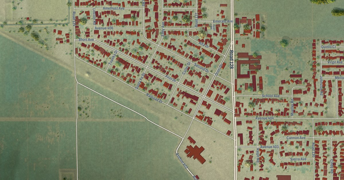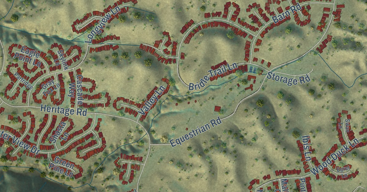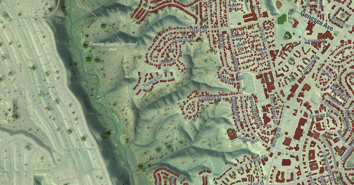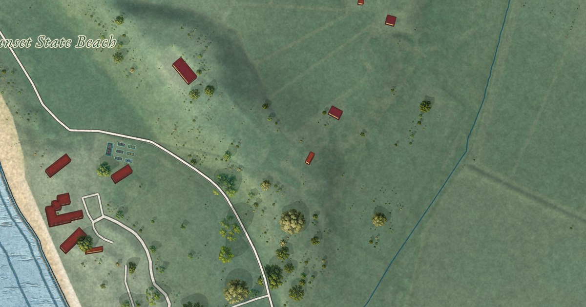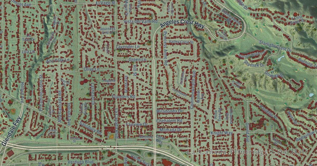
This beautifully detailed map of La Cañada Flintridge, California was created in 2026 using aerial imagery combined with modern topographical, census, street and landmark data. It’s a one-of-a-kind view of La Cañada Flintridge that combines accurate data with a vintage aesthetic. The map shows every building in its true location, many of the roads carry their names, and the shaded topographic relief shows the shape of the land.
Explore an aerial view of La Cañada Flintridge, California
On the map you’ll find La Cañada Flintridge City Hall, Altacanyada, Cherry Canyon Park, Descanso Gardens, Winery Canyon Open Space, and Glendale Fwy, along with Angeles Crest Highway, Inverness Drive, Foothill Boulevard, Gould Avenue, Briartree Drive, Greenridge Drive, and more. If you look closely you can even find your house accurately drawn in its correct location. Zoom in on the preview to look for yours.
Did you know this piece of La Cañada Flintridge, California history?
From the City of La Canada Flintridge: "La Cañada Flintridge became known as the city without a hyphen in its name, demonstrating community unity."
Take a closer look at the La Cañada Flintridge map
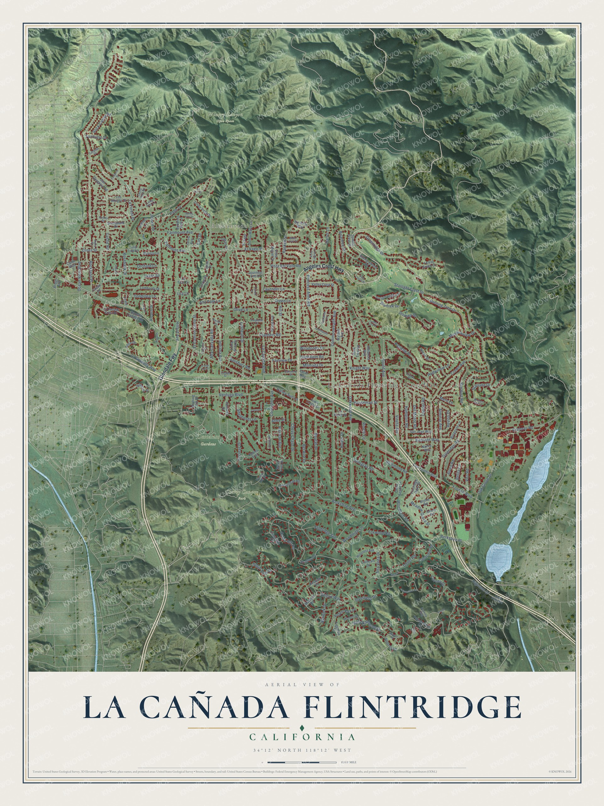
Street and place names on the La Cañada Flintridge, California map
These names are printed on the map of La Cañada Flintridge, California.
Places: La Cañada Flintridge City Hall, Altacanyada, Cherry Canyon Park, Descanso Gardens and Winery Canyon Open Space.
Streets and roads: Angeles Crest Highway, Glendale Fwy, Inverness Drive, Foothill Boulevard, Gould Avenue, Briartree Drive, Greenridge Drive, Flanders Road, Chevy Chase Drive, Alta Canyada Road, Ocean View Boulevard, Commonwealth Avenue.
More street names, A to Z
Ahlin Drive, Alcorn Drive, Alminar Avenue, Alta Park Lane, Alta Vista Drive, Alveo Road, Antrim Place, Atlee Drive, Baptiste Way, Bel Aire Drive, Belita Lane, Berkshire Avenue, Berkshire Place, Berwick Drive, Beulah Drive, Big Briar Way, Blythe Road, Bonita Vista Drive, Bramblewood Road, Bramley Way, Briggs Avenue, Bubbling Well Lane, Burgoyne Lane, Burning Tree Drive, Cambridge Road, Canalda Drive, Carmel Road, Caroli Lane, Castle Knoll Road, Castle Lane, Castle Road, Cathcart Drive, Chehalem Road, Chula Senda Lane, Cobblestone Lane, Conle Way, Coral Way, Cornishon Avenue, Corona Drive, Cross Street, Crown Avenue, Curran Street, Cypress Drive, Daleridge Road, Del Monte Road, Del Oro Drive, Donna Marie Lane, Dover Road, Earl Drive, Earlmont Avenue, East Foothill Boulevard, El Camino Corto Street, El Vago, El Vago Street, Encinas Drive, Escalante Drive, Euston Place, Explorer Road, Fairhurst Drive, Fairlawn Drive, Fairmount Avenue, Fairview Drive, Fallhaven Lane, Figueroa Street, Flintridge Avenue, Flintridge Circle, Flintridge Oaks Drive, Forest Green Drive, Forest Hill Drive, Foxwood Road, Georgian Road, Godbey Drive, Grand Avenue, Green Lane, Hampstead Road, Hampton Road, Harter Lane, Haskell Street, Haverstock Road, Hayman Avenue, Highland Drive, Hillard Avenue, Hillcrest Avenue, Hilldale Drive, Hill Street, Hobbs Drive, Hook Tree Road, Houseman Street, Indiana Avenue, Indian Drive, Indianola Way, Jarvis Avenue, Jessen Drive, Journeys End Drive, Keswick Road, Knight Way, La Canada Boulevard, La Canada Crest Drive, La Forest Drive, La Granada Way, Lamp Post Lane, Lanterman Lane, La Porte Drive, Lasheart Drive, La Taza Drive, Lavender Lane, Leata Lane, Lila Lane, Linda Vista Avenue, Linda Vista Drive, Littleton Place, Loma Vista Drive, Lombardy Drive, Los Amigos Street, Louise Drive, Lyans Drive, Lynnhaven Lane, Madison Road, Mariners View Lane, Matley Road, Meadow Grove Street, Meadowview Drive, Mero Lane, Mesa Vista Drive, Milmada Drive, Monarch Drive, Nancy Way, Noren Street, Oakado Place, Oak Grove Drive, Oakwood Avenue, Olive Lane, Oliveta Place, Orange Tree Lane, Orchard Lane, Oriole Road, Oxford Way, Padres Trail, Palm Drive, Palmerstone Drive, Paulette Place, Pequena Lane, Princess Anne Road, Rancho Canada Road, Ravista Lane, Redwillow Lane, Regent Park Drive, Revlon Drive, Richey Drive, Richmond Road, Riendo Lane, Rinetti Lane, Robin Hill Road, Rock Castle Road, Rockland Place, Rosebank Drive, Saint Katherine Drive, Salisbury Court, Salisbury Road, San Gorgonio Road, San Juan Way, Shepherds Lane, Solliden Lane, Stardust Road, Starlane Drive, Starlight Crest Drive, Starlight Heights Drive, Startrek Drive, Stratford Drive, Sugar Loaf Drive, Summit Crest Drive, Sunnybank Drive, Terracita Lane, Tondolea Lane, Town Center Drive, Tulip Tree Lane, Valley Crest Street, Valley Sun Lane, Venado Vista Drive, Verdugo Boulevard, Vineta Avenue, Viro Road, Vista Canada Place, Vista del Valle Road, Vista Lejana Lane, Vista Miguel Drive, Waldorf Road, Walmar Avenue, Wasatch Drive, Wendover Road, White Deer Drive, Wiladonda Drive, Wishing Hill Drive, Woodfield Road, Woodleigh Lane, Yarden Place.
See the La Cañada Flintridge, California map on a wall
The La Cañada Flintridge map as an 18 x 24 inch print in a black frame.

This beautifully detailed map of La Cañada Flintridge makes an attractive addition to your office, library, or den, and it can even be used to teach children the geography and history of the area. It also makes a great gift for anyone who grew up in La Cañada Flintridge or moved away. When you’re done exploring, click here to get your copy of the La Cañada Flintridge map.