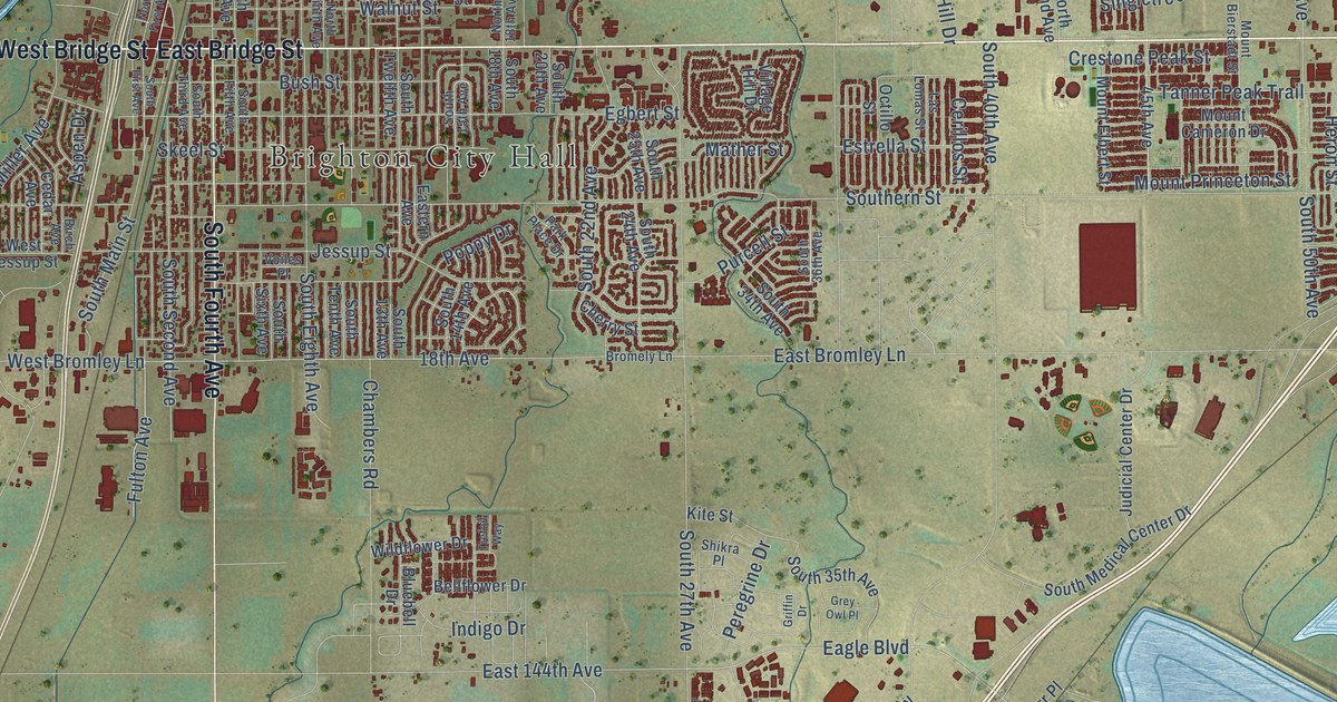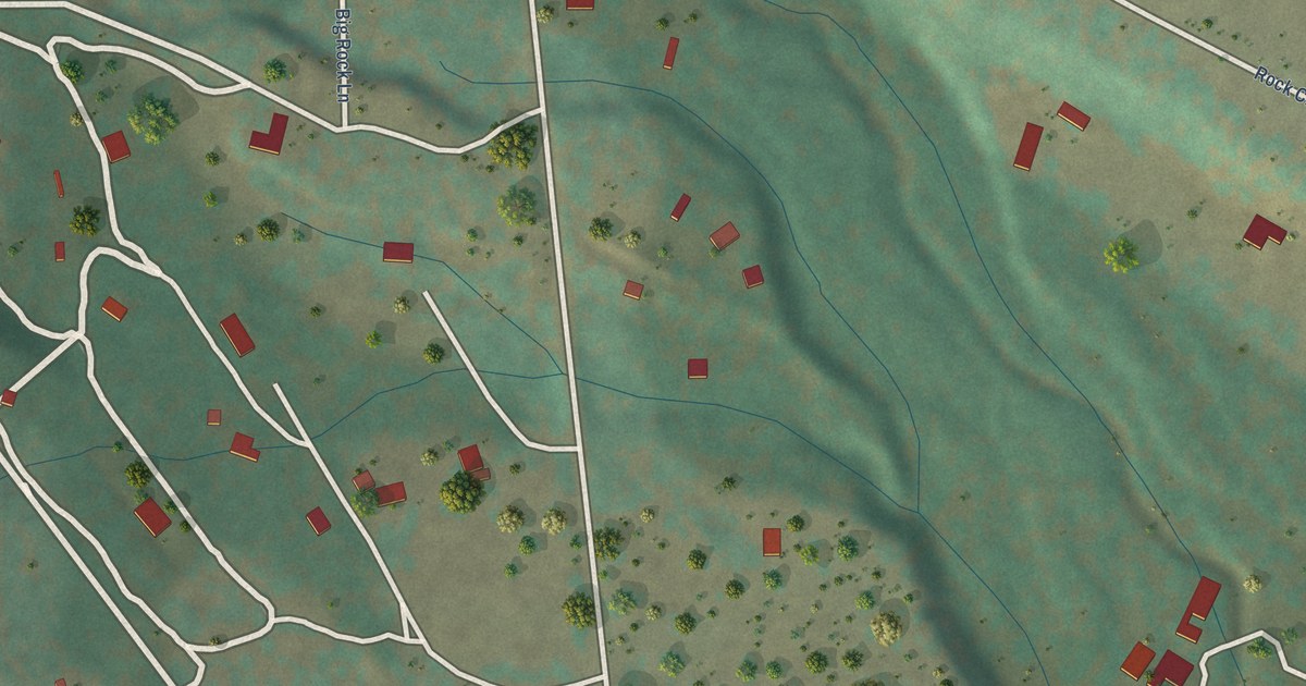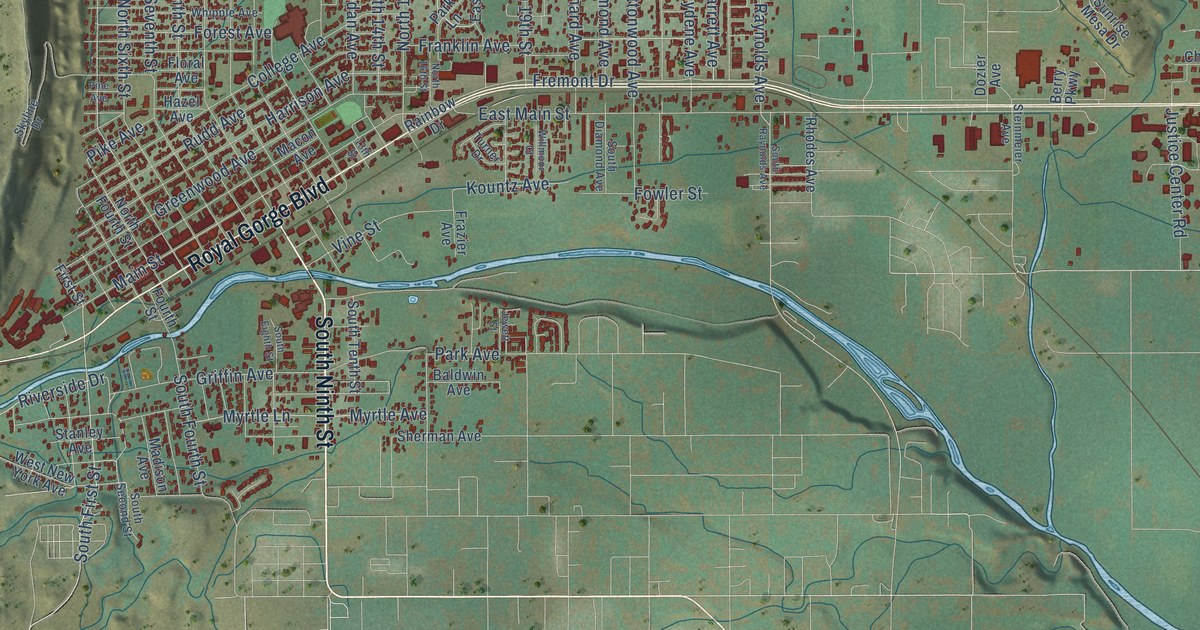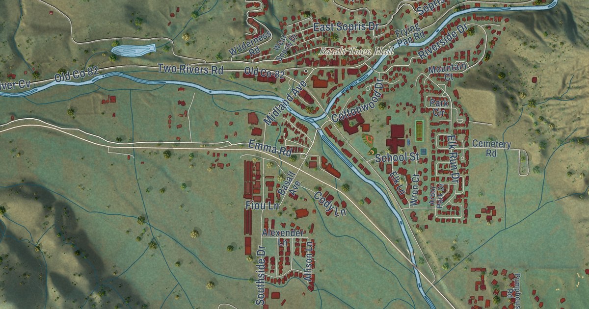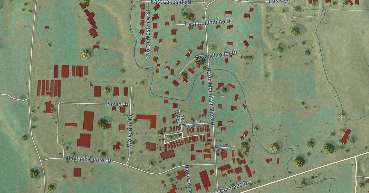
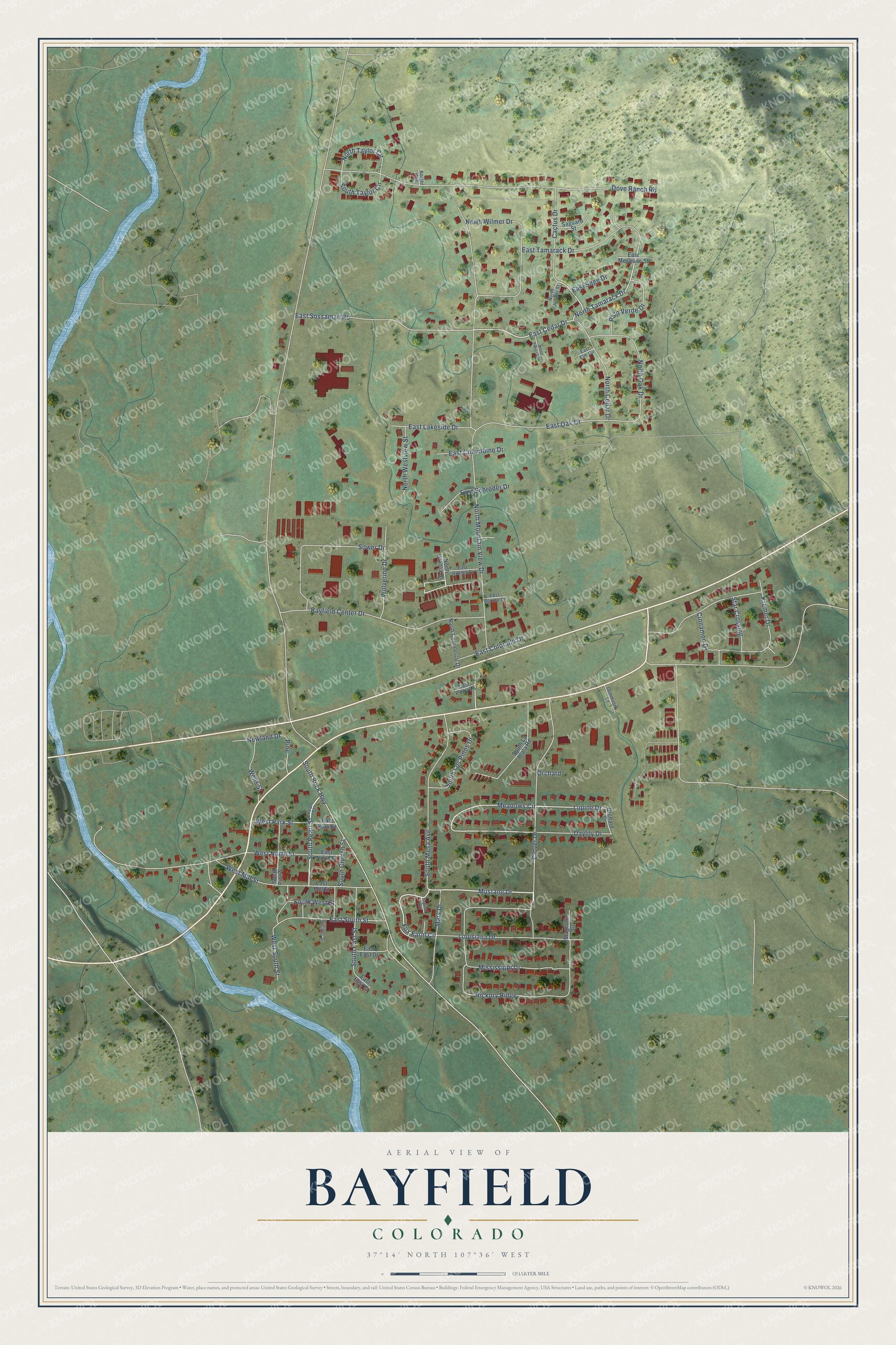
This beautifully detailed map of Bayfield, Colorado was created in 2026 using aerial imagery combined with modern topographical, census, street and landmark data. It’s a one-of-a-kind view of Bayfield that combines accurate data with a vintage aesthetic. The map shows every building in its true location, many of the roads carry their names, and the shaded topographic relief shows the shape of the land.
Explore an aerial view of Bayfield, Colorado
On the map you’ll find Hickory Ridge, along with Mustang Drive, South Pearl Street, Clover Drive, Fox Farm Circle, North Tamarack Drive, East Cedar Drive, Meadows Circle, Lupine Drive, North Mountain View Drive, Dove Ranch Road, Kremer Drive, and more. If you look closely you can even find your house accurately drawn in its correct location. Zoom in on the preview to look for yours.
Did you know this piece of Bayfield, Colorado history?
From the Historical Marker Database: "In the 1940s, the growing community of Bayfield was in need of a public meeting place and a space for athletics. Construction of the community gym was begun in 1946 and the building was completed in 1948."
Take a closer look at the Bayfield map
Street names on the Bayfield, Colorado map
These names are printed on the map of Bayfield, Colorado.
Streets and roads: Mustang Drive, South Pearl Street, Clover Drive, Fox Farm Circle, North Tamarack Drive, East Cedar Drive, Meadows Circle, Lupine Drive, North Mountain View Drive, Dove Ranch Road, Hickory Ridge, Kremer Drive.
More street names, A to Z
Bayfield Center Drive, Cactus Drive, Cinnamon Drive, Community Lane, Daylily Drive, East Colorado Drive, East Columbine Drive, East Dakota Drive, East East Court, East East Drive, East Elm Circle, East Lakeside Drive, East Mesquite Street, East Mill Street, East North Street, East Oak Drive, East Park Street, East Pony Lane, East Sage Drive, East Schroder Drive, East Sossaman Road, East South Street, East Spruce Drive, East Tamarack Drive, Knight Avenue, Louisiana Drive, Magnolia Court, Mars Drive, Mississippi Drive, Newland Drive, North Cedar Drive, North Commerce Drive, North Dakota Drive, North Juniper Street, North Oak Drive, North Pinion Circle, North Taylor Circle, North Westview Street, North Wilmer Drive, Orchard, Orchard Drive, Palo Verde Drive, Pearl Street, Pine, Saguaro Street, Schiller Street, South Buck Highway, South Church Street, South East Street, South La Plata Road, South Los Pinos Drive, South Mesa Avenue, South Pine Street, South Taylor Circle, South West Street, Sower Drive, Star Crossing, Tugwell Lane, Wells Street, West Mill Street, West North Street, West Park Street, West South Street, Wolverine Drive.
See the Bayfield, Colorado map on a wall
The Bayfield map as an 18 x 24 inch print in a black frame.

This beautifully detailed map of Bayfield makes an attractive addition to your office, library, or den, and it can even be used to teach children the geography and history of the area. It also makes a great gift for someone who left Bayfield and still calls it home. When you’re done exploring, click here to get your copy of the Bayfield map.