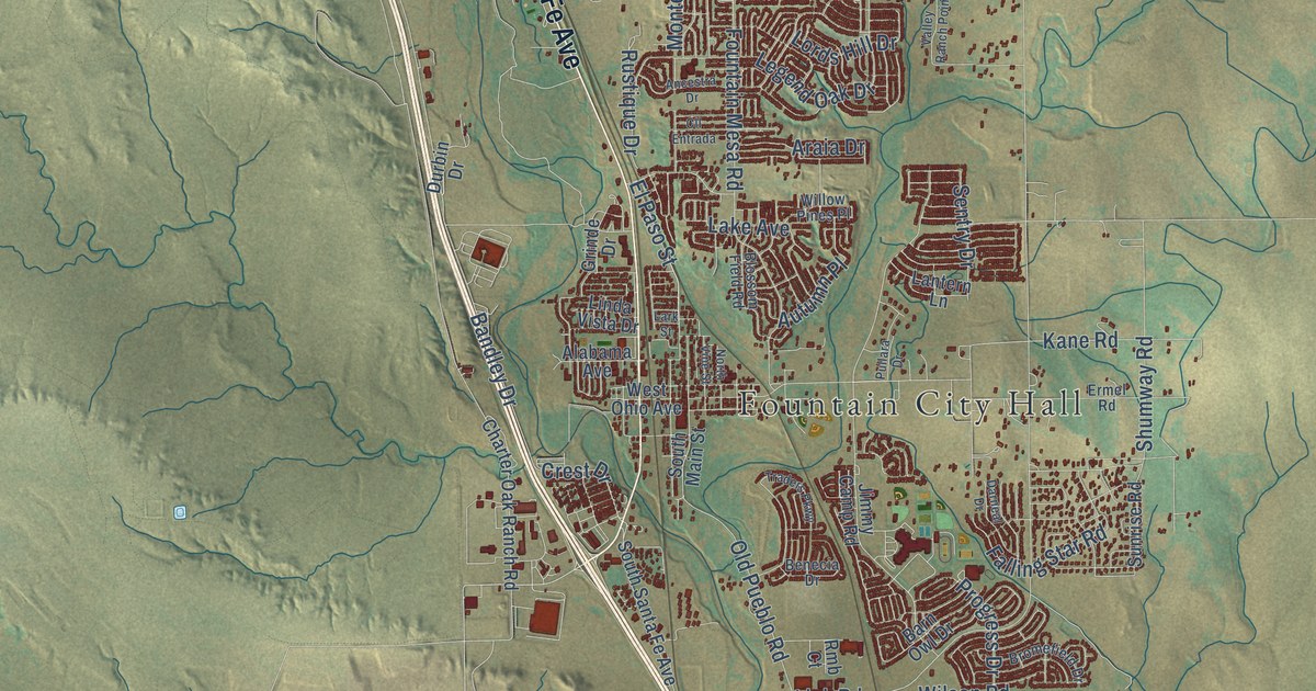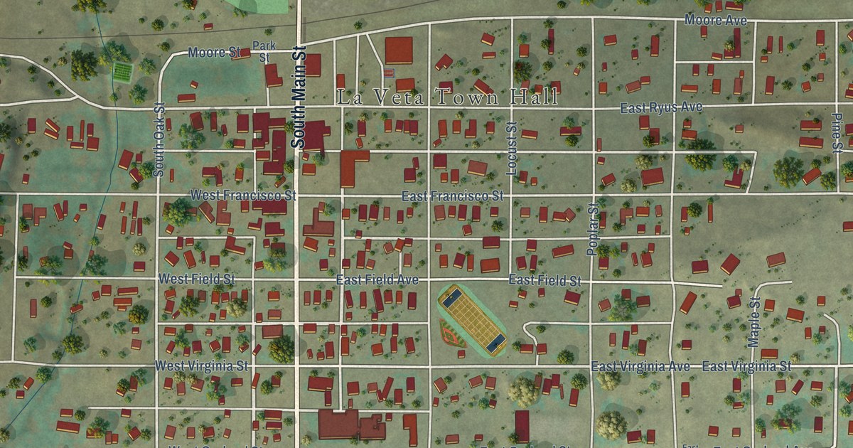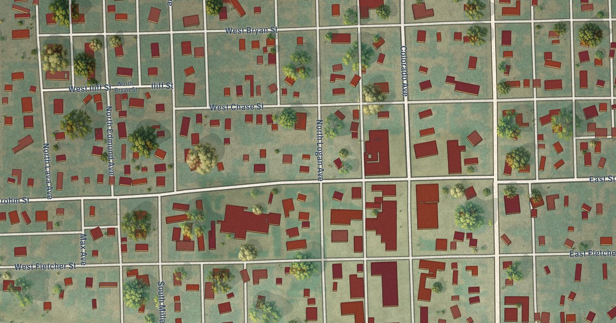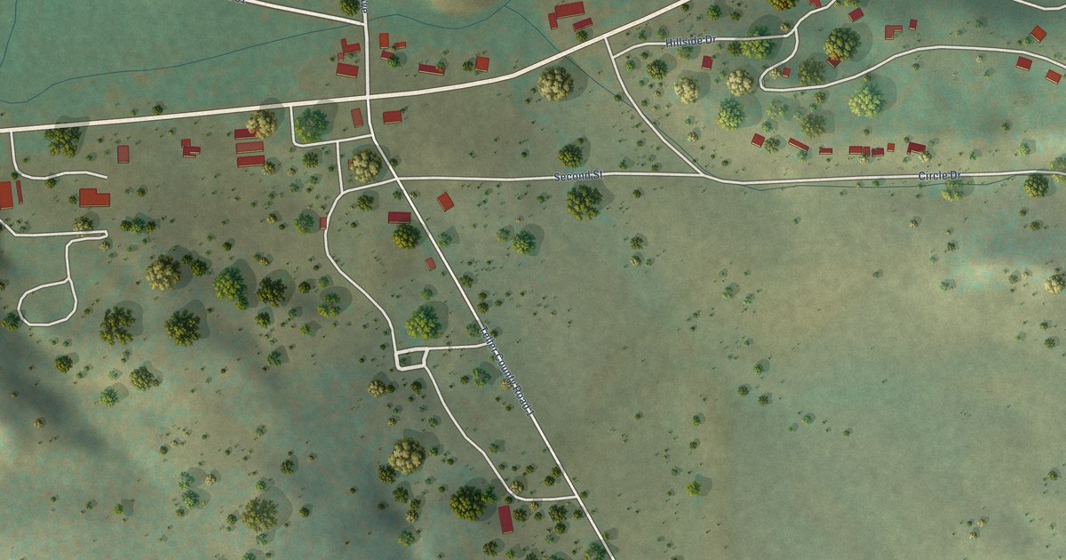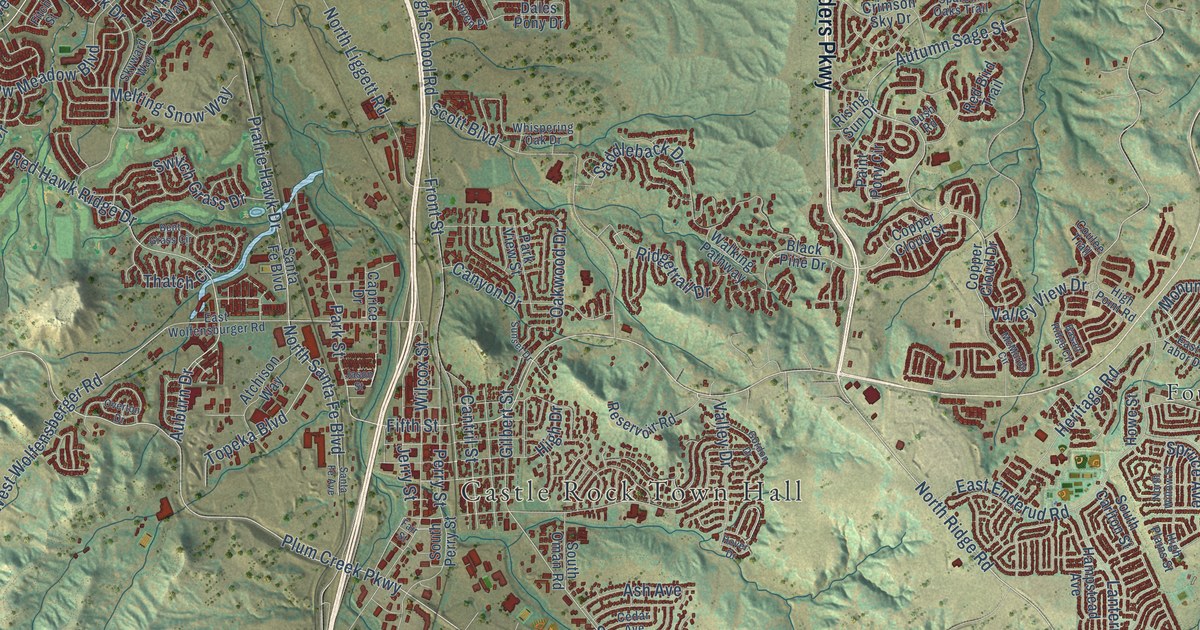
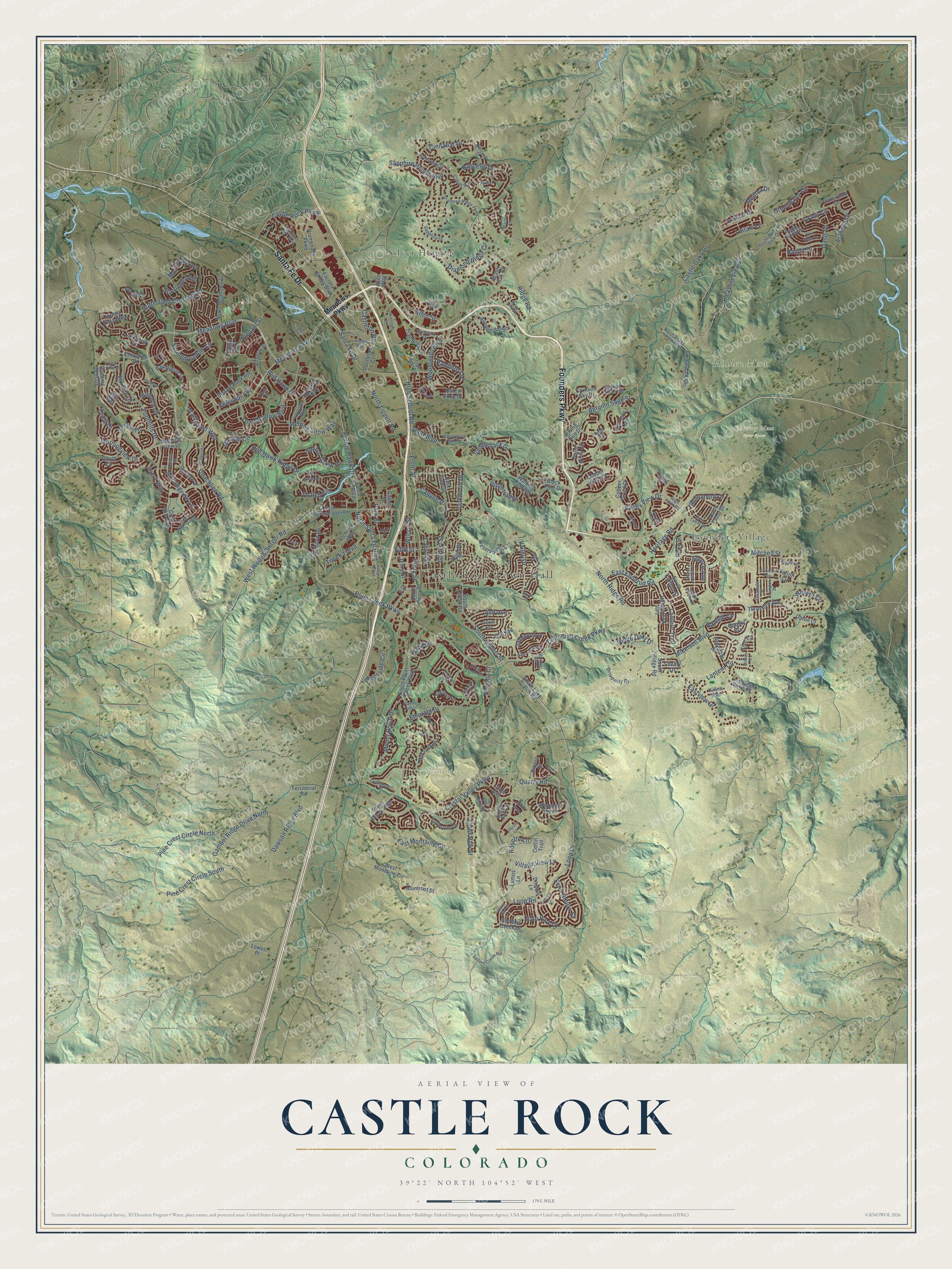
This beautifully detailed map of Castle Rock, Colorado was created in 2026 using aerial imagery combined with modern topographical, census, street and landmark data. It’s a one-of-a-kind view of Castle Rock that combines accurate data with a vintage aesthetic. The map shows every building in its true location, many of the roads carry their names, and the shaded topographic relief shows the shape of the land.
Explore an aerial view of Castle Rock, Colorado
On the map you’ll find Castle Rock Town Hall, Gateway Mesa Open Space, Hidden Mesa Open Space, Quarry Mesa Open Space, Ridgeline Open Space, Founders Village, and Silver Heights, along with Founders Parkway, Santa Fe Drive, Meadows Boulevard, Meadows Parkway, Plum Creek Parkway, and more. If you look closely you can even find your house accurately drawn in its correct location. Zoom in on the preview to look for yours.
Did you know this piece of Castle Rock, Colorado history?
From the National Register of Historic Places: "When constructed in 1897, Castle Rock Elementary originally functioned as the first county-wide school for Douglas County."
Take a closer look at the Castle Rock map
Street and place names on the Castle Rock, Colorado map
These names are printed on the map of Castle Rock, Colorado.
Places: Castle Rock Town Hall, Gateway Mesa Open Space, Hidden Mesa Open Space, Quarry Mesa Open Space, Ridgeline Open Space, Founders Village and Silver Heights.
Streets and roads: Founders Parkway, Santa Fe Drive, Meadows Boulevard, Meadows Parkway, Plum Creek Parkway, Fifth Street, Coachline Road, North Ridge Road, Park Street, Morningview Drive, Auburn Drive, Red Hawk Ridge Drive.
More street names, A to Z
Allen Street, Allen Way, Alumroot Street, Arabella Drive, Ash Avenue, Atchison Way, Autumn Sage Street, Avenue del Sol, Avery Way, Baguette Drive, Balsa Drive, Bandit Drive, Barranca Drive, Basalt Ridge Circle, Bear Paw Court, Bellavista Street, Bent Grass Circle, Bilberry Street, Bittern Street, Black Pine Drive, Blue Water Lane, Bobolink Drive, Brantly Avenue, Brookside Circle, Buena Vista Boulevard, Bush Road, Butterfield Crossing Drive, Cade Avenue, Cantril Street, Canyon Drive, Caprice Drive, Castlegate Drive West, Castle Oaks Drive, Castle Rock Parkway, Castleton Court, Castleton Road, Cedar Avenue, Celestial Avenue, Celtic Drive, Cherokee Drive, Cinnabar Drive, Clear Sky Way, Cobalt Way, Coltin Trail, Copper Cloud Drive, Copper Cloud Street, Coulee Trail, Craig Court, Crimson Sky Drive, Crosshaven Place, Crystal Valley Parkway, Dales Pony Drive, Dawson Ridge Boulevard, Diamond Head Drive, Diamond Ridge Circle, Diamond Ridge Parkway, Dinosaur Street, Distant Rock Avenue, Ditmars Lane, Driveway Drive, Eaglestone Drive, Eagle Tail Lane, East Enderud Road, East Montaine Circle, East Plum Creek Parkway, East Tabor Drive, Eastview Drive, East Wolfensburger Road, Echo Hollow Street, Echo Park Drive, Elegant Street, Elk Run Drive, Ellendale Street, Elm Avenue, Emerald Drive, Esmeralda Drive, Factory Shops Boulevard, Fair Street, Fallon Circle, Fitch Street, Foothills Drive, Forever Circle, Fossil Way, Front Street, Gambel Ridge Drive North, Gilbert Street, Gordon Drive, Gould Circle, Grady Circle, Greenwater Circle, Groveton Avenue, Hampstead Avenue, Heritage Road, High Drive, High Plains Street, High Point Road, High School Road, Hillcroft Lane, Hills Way, Holmby Court, Hover Drive, Howe Street, Jason Street, Jerry Street, John Avenue, Justice Way, Kellwood Drive, Killen Avenue, Kimberly Drive, Kittery Street, Kryptonite Drive, Lantern Circle, Lantern Trail, Larksong Drive, Leilani Drive, Leilani Lane, Lions Paw Street, Live Oak Road, Loop Drive, Loop Road, Lost Canyon Ranch Road, Lovington Street, Lowell Place, Low Meadow Boulevard, Lumos Lane, Marble Lane, Mashie Circle, McCracken Lane, McMurdo Circle, Melting Snow Way, Mentha Drive, Mikelson Boulevard, Milbury Street, Milestone Lane, Mitchell Street, Monument Drive, Morning Glory Drive, Morning View Drive, Morningview Lane, Mountain Sky Drive, Mount Royal Drive, North Liggett Road, North Meadows Drive, North Rocky View Road, North Santa Fe Boulevard, North Tabor Drive, North Willow Street, Oakwood Drive, Oasis Drive, Old Oaks Street, Overton Drive, Painthorse Drive, Paint Pony Circle, Park View Street, Peninsula Circle, Peralta Loop, Peridot Lane, Perry Street, Pine Crest Circle North, Pine Crest Circle South, Plains End Court, Players Club Drive, Pleasant View Drive, Plum Creek Boulevard, Prairie Hawk Drive, Promenade Parkway, Pueblo Alta Way, Quarry Road, Quartz Street, Raleigh Circle, Rawhide Circle, Red Bird Trail, Red Hawk Drive, Regent Street, Reid Trail, Reservoir Road, Ridge Oaks Drive, Ridge Road, Ridgetrail Drive, Rising Sun Drive, Rocky View Road, Rosedale Street, Rosette Lane, Royal Troon Drive, Running Deer Drive, Saddleback Drive, Sandhurst Drive, Santa Fe Avenue, Santa Fe Boulevard, Sapphire Drive, Sapphire Pointe Boulevard, Scott Boulevard, Sellers Creek Road, Shadow Creek Drive, Shelby Drive, Sheldon Avenue, Silver Pine Drive, Sky Rock Way, Skyward Way, South Carlton Street, South Gilbert Street, South Lake Gulch Road, South Oman Road, South Perry Street, South Pleasant View Drive, South Plum Creek Boulevard, South Ridge Road, Spanish Oaks Trail, Springmeadow Circle, Spruce Avenue, Stafford Circle, Starflower Road, Starry Night Loop, Summerfield Drive, Sunset Drive, Switch Grass Drive, Tanglevine Drive, Territorial Road, Thatch Circle, Tippen Place, Topeka Boulevard, Trailblazer Way, Trail Boss Drive, Trail Boss Lane, Turnstone Avenue, Upton Court, Valley Drive, Valley View Drive, Village View Lane, Walking Pathway, Water Oak Circle, Weaver Circle, West Montaine Circle, West Wolfensberger Road, Whispering Oak Drive, Wilcox Street, Willowrun Drive, Woodlands Boulevard.
See the Castle Rock, Colorado map on a wall
The Castle Rock map as an 18 x 24 inch print in a black frame.

This beautifully detailed map of Castle Rock makes an attractive addition to your office, library, or den, and it can even be used to teach children the geography and history of the area. It also makes a great gift for someone who left Castle Rock and still calls it home. When you’re done exploring, click here to get your copy of the Castle Rock map.