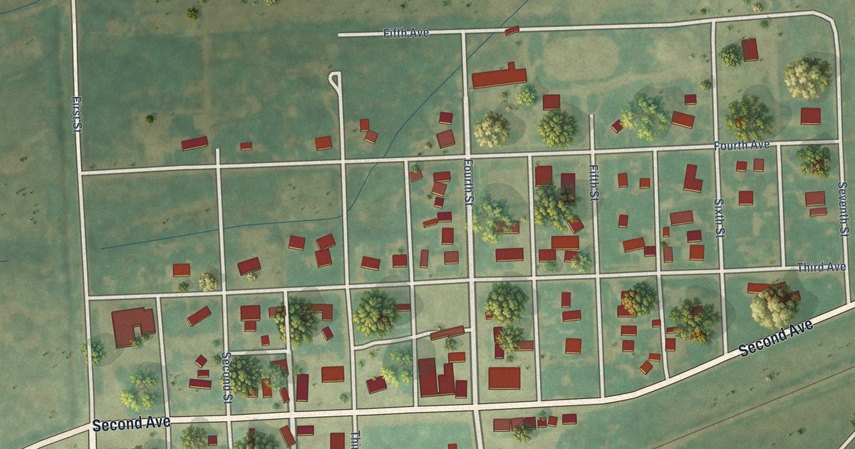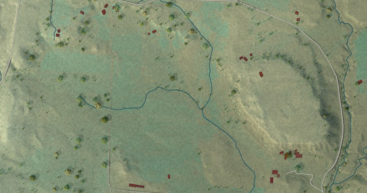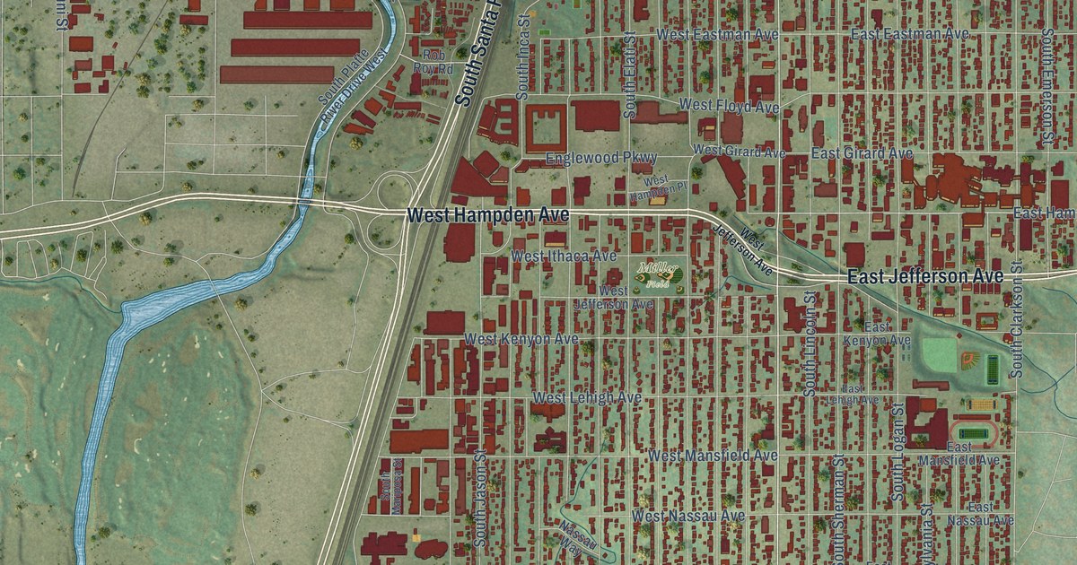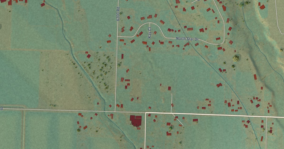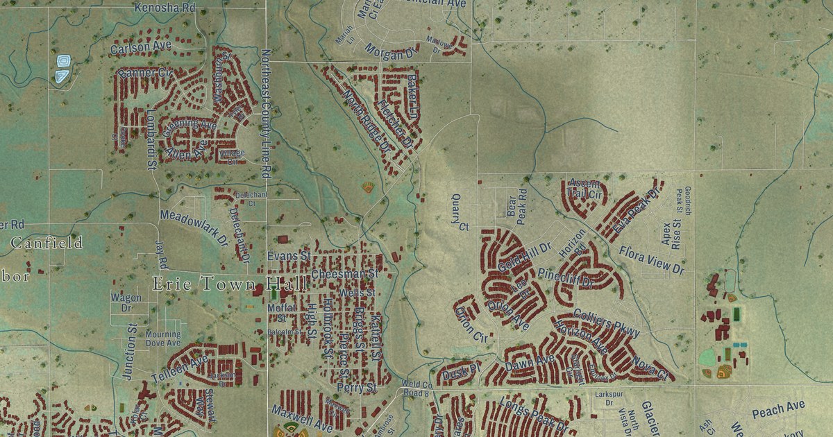
This beautifully detailed map of Erie, Colorado was created in 2026 using aerial imagery combined with modern topographical, census, street and landmark data. It’s a one-of-a-kind view of Erie that combines accurate data with a vintage aesthetic. The map shows every building in its true location, many of the roads carry their names, and the shaded topographic relief shows the shape of the land.
Explore an aerial view of Erie, Colorado
On the map you’ll find Erie Town Hall, Leyner, Tabor, Canfield, Ninemile Corner, Plumbs, and Puritan, along with Baseline Road, Erie Parkway, Carbonate Lane, Northeast County Line Road, Fletcher Drive, and more. If you look closely you can even find your house accurately drawn in its correct location. Zoom in on the preview to look for yours.
Did you know this piece of Erie, Colorado history?
From the Town of Erie: "It is said that Rev. Richard Jeptha Van Valkenburg made his way here to Colorado from Erie, Pennsylvania. Not only was he the founder of the Erie Methodist Church, they say he was the force that helped organize the establishment of the Town, which was named for his place of birth, Erie, PA."
Take a closer look at the Erie map
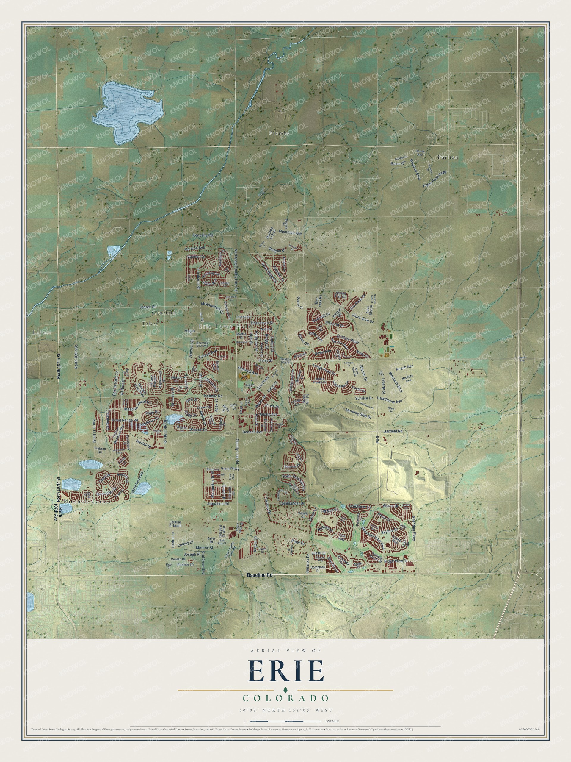
Street and place names on the Erie, Colorado map
These names are printed on the map of Erie, Colorado.
Places: Erie Town Hall, Leyner, Tabor, Canfield, Ninemile Corner, Plumbs and Puritan.
Streets and roads: Baseline Road, Erie Parkway, Carbonate Lane, Northeast County Line Road, Fletcher Drive, Hickory Drive, County Line Road, Colony Drive, 5 Road, North Parkdale Circle, North 119th Street, Vista Parkway.
More street names, A to Z
Acadia Circle, Airport Drive, Allen Avenue, Alpine Drive, Ambrose Street, Apex Rise Street, Apex Street, Arapahoe Road, Ascent Trail Circle, Ash Ci, Aster Drive, Austin Avenue, Azalea Way, Bain Drive, Baker Lane, Balcolm Street, Banner Circle, Baron Court, Baxter Farm Lane, Bear Peak Road, Belay Street, Bell Drive, Berry Place, Bison Circle, Blue Sky Circle, Bonanza Drive, Bonnell Avenue, Brennan Street, Briggs Street, Byrd Drive, Carlson Avenue, Catalpa Place, Cessna Drive, Cheesman Street, Cherokee Court, Clark Drive, Coal Creek Boulevard, Colliers Parkway, Columbine Way, Commander Circle, Commander Drive, Commons Drive, Compass Drive, Conlan Drive, Cooke Court, Crescent Ci West, Crestview Lane, Daily Drive, Dawn Avenue, Delechant Court, Delechant Drive, Drake Alley, Driver Lane, Dusk Place, Eagle Circle, East County Line Road, Eichhorn Drive, Epic Drive, Equinox Drive, Espinoza Street, Evans Street, Eva Peak Drive, Fairway Pointe Drive, Flatiron Circle, Flatiron Meadows Boulevard, Flora View Drive, Fossil Bed Circle, Front Range Road, Gander Drive, Garfield Road, Glacier Drive, Gold Hill Drive, Goodrich Peak Street, Graham Circle, Greening Avenue, Green Mill Road, Grenville Circle, Harvest Point Drive, Hawthorne Avenue, Hickory Avenue, Highlands Circle, High Street, Holbrook Street, Holeman Drive, Holly Drive, Homestead Parkway, Honey Avenue, Horizon Avenue, Horizon Bd, Hughs Drive, Indian Peaks Drive, Ironwood Circle, Isabelle Road, Jackson Drive, Jarvis Drive, Jasper Road, Jay Road, Joseph Place, Junction Street, Kattell Street, Kenosha Road, Kolar Court, Koss Street, Lakota Ranch Road, Larkspur Drive, Lawson Avenue, Lehigh Circle, Leo Drive, Leyner Drive, Liberty Street, Lilac Circle, Linden Way, Lloyd Lane, Lombardi Street, Longs Peak Drive, Loraine Ci North, Lupton Lane, Lyons Lane, Maccullen Drive, Madison Drive, Maple Avenue, Maplewood Drive, Marfell Street, Mariah Lane, Marlowe Ci East, Marlowe Drive, Marquette Drive, Mason Street, Mathews Way, Maxwell Avenue, Maxwell Circle, Meadow Boulevard, Meadowlark Drive, Meadow Sweet Lane, Meadow View Parkway, Meller Street, Miller Street, Miranda Road, Mitchell Way, Moffat Street, Monares Lane, Monroe Street, Montclair Avenue, Montgomery Drive, Morgan Drive, Morning Side Drive, Mountain View Boulevard, Mourning Dove Avenue, North 107th Avenue, North 107th Street, North 109th Street, North 111th Street, North Ridge Drive, North Vista Drive, Nova Court, Odell Drive, Orion Avenue, Orion Circle, Ortega Court, Peach Avenue, Penner Drive, Perry Street, Pierce Street, Pikes Peak Parkway, Pinecliff Drive, Pinon Drive, Pioneer Place, Piper Drive, Pope Drive, Powers Street, Primrose Lane, Quarry Court, Quest Drive, Raindance Place, Ridge View Drive, Rob Roy Court, Sandstone Circle, Serene Drive, Shay Drive, Sheridan Parkway, Skyline Drive, South Main Street, South Parkdale Circle, Starlight Circle, Stewart Way, Stockton Drive, Summit Boulevard, Sunrise Drive, Sunset Drive, Sunset Way, Tamarak Way, Telleen Avenue, Tundra Circle, Tyler Place, Tynan Drive, Vale Way, Viking Court, Village Circle, Wagon Drive, Walters Drive, Washburn Street, Weld County Road 8, Wells Street, Westerly Boulevard, Weston Circle, Weston Drive, Westview Road, Wilson Circle, Windmill Street, Zodo Avenue.
See the Erie, Colorado map on a wall
The Erie map as an 18 x 24 inch print in a black frame.

This beautifully detailed map of Erie makes an attractive addition to your office, library, or den, and it can even be used to teach children the geography and history of the area. It also makes a great gift for anyone who grew up in Erie or moved away. When you’re done exploring, click here to get your copy of the Erie map.