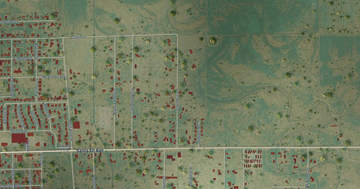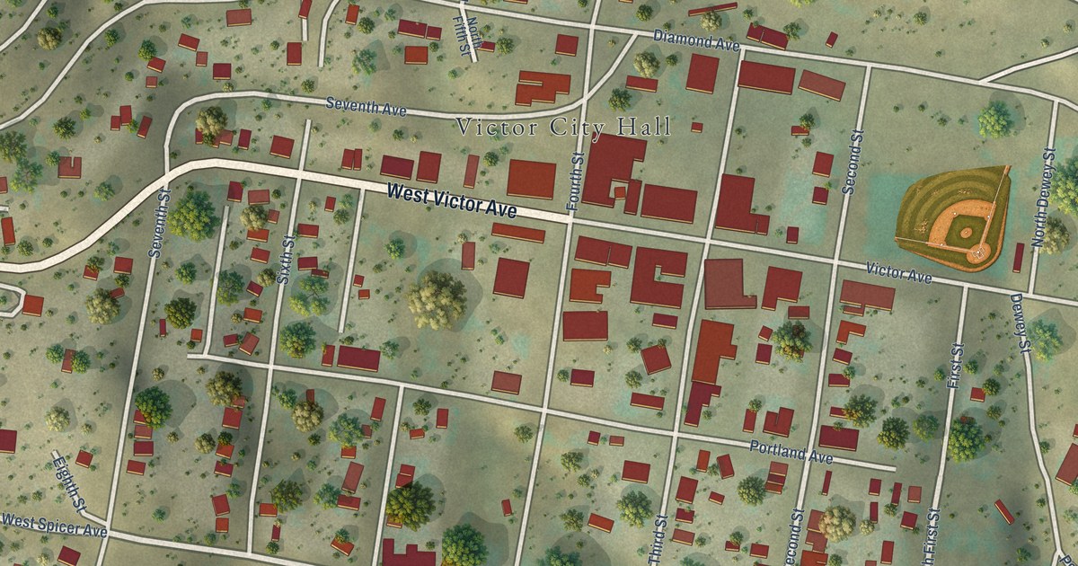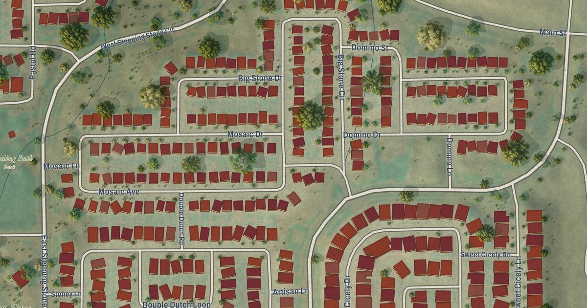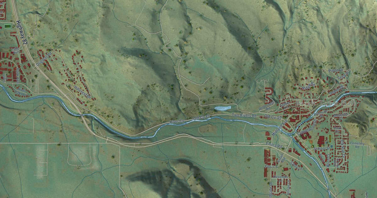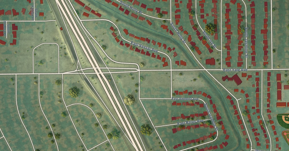
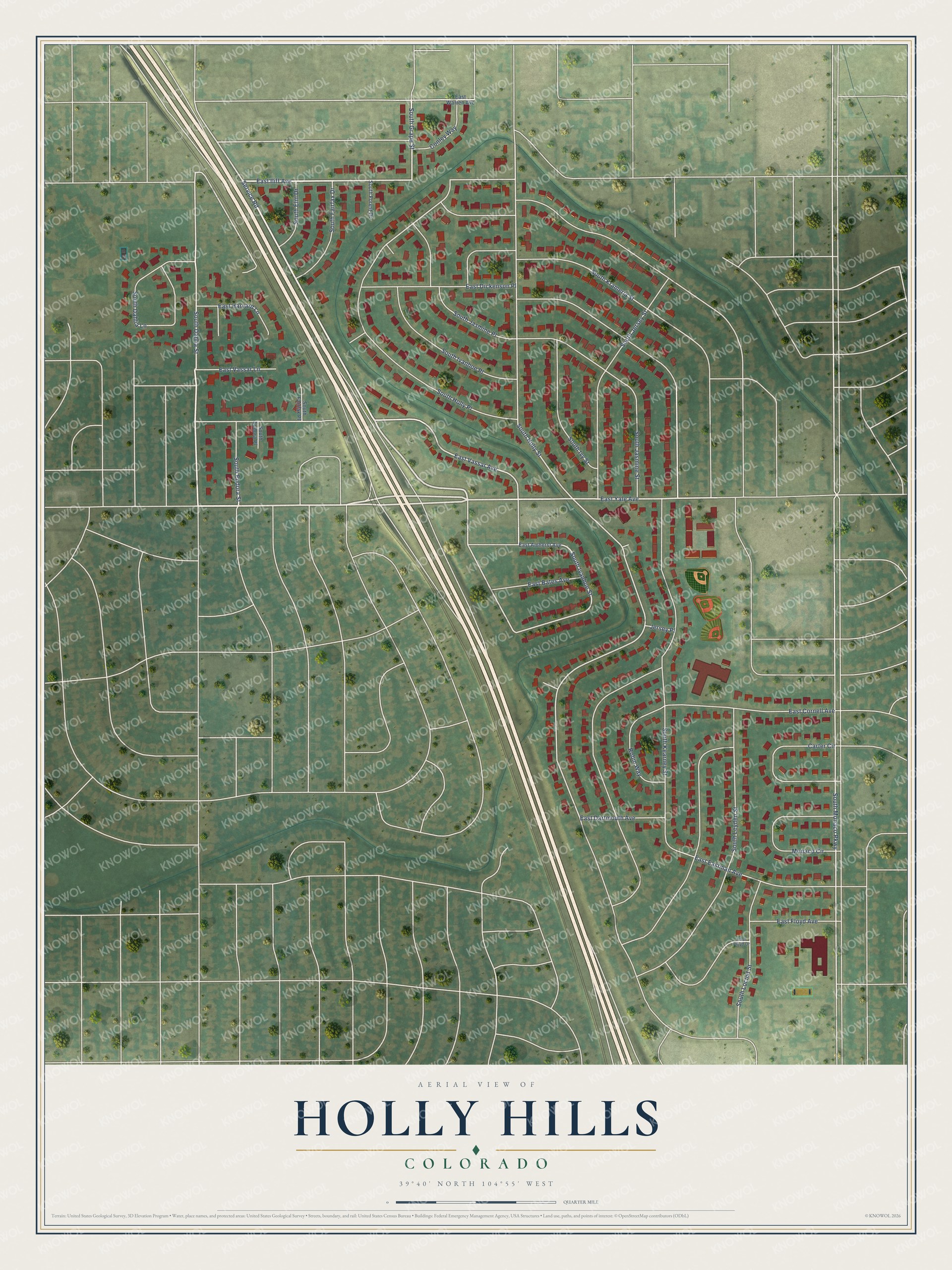
This beautifully detailed map of Holly Hills, Colorado was created in 2026 using aerial imagery combined with modern topographical, census, street and landmark data. It's a modern aerial view of Holly Hills in Arapahoe County, Colorado, that combines modern data with a vintage aesthetic. The roads feature printed names, and if you look closely you can find your exact house accurately shown in its correct location.
Explore an aerial view of Holly Hills, Colorado
On this map you'll find Service Road, East Yale Avenue, South Dahlia Street, East Iliff Avenue, South Grape Street, East Vassar Avenue, East Cornell Avenue, South Kearney Street, South Eudora Street, South Ivanhoe Street, South Holly Place, South Holly Street, and more. Each red shape is a building, so zoom in on the preview and look for yours.
Every town has a first chapter, and Holly Hills is no exception. The South Dahlia Lane neighborhood began as the Mile High Housing Association, built to give University of Denver professors an affordable place to live. The professors formed a corporation to buy all the land and build all the homes under one mortgage. Architect Eugene Sternberg designed the houses and a shared park at the center called The Green. Each family owned a share in the corporation until the mortgage was paid off in the 1980s, when the land was split into lots and everyone became an individual homeowner. Sternberg hoped his modern designs would help neighbors live in harmony. That's from the Denver7 News.
Holly Hills is a community in Arapahoe County. The Census Bureau counted 2,683 people here in 2020. The map prints the town name in its title panel, with the coordinates below it.
Take a closer look at the Holly Hills map
Names on this map
These names are printed on this map.
Streets and roads: Service Road, East Yale Avenue, South Dahlia Street, East Iliff Avenue, South Grape Street, East Vassar Avenue, East Cornell Avenue, South Kearney Street, South Eudora Street, South Ivanhoe Street, South Holly Place, South Holly Street.
More street names, A to Z
Carter Circle, Conley Way, East Amherst Avenue, East Bates Avenue, East Dartmouth Avenue, East Dickenson Place, East Eastman Avenue, East Floyd Avenue, East Floyd Drive, East Harvard Lane, East Vassar Lane, East Warren Avenue, Jersey Place, Monaco Circle, Robin Way, South Dahlia Lane, South Elm Drive, South Eudora Place, South Fairfax Drive, South Fairfax Place, South Forest Drive, South Ivanhoe Place, South Ivy Street, South Jasmine Place, South Jasmine Street, South Jersey Street, South Krameria Street, South Leyden Street, South Locust Street, South Monaco Parkway.
See it on a wall
The Holly Hills map as a framed print. Swipe for more.


Created by KNOWOL in 2026. The buildings are small red shapes, the roads carry their printed names, and shaded relief shows the shape of the land. The title panel reads "AERIAL VIEW OF HOLLY HILLS, COLORADO" with 39°40' NORTH 104°55' WEST.
Hang it in the hallway, the office or the cabin, or give it to someone who left Holly Hills and still calls it home. Open the preview and look for a street you know. See sizes and frames for the Holly Hills map.