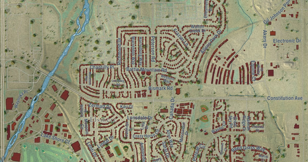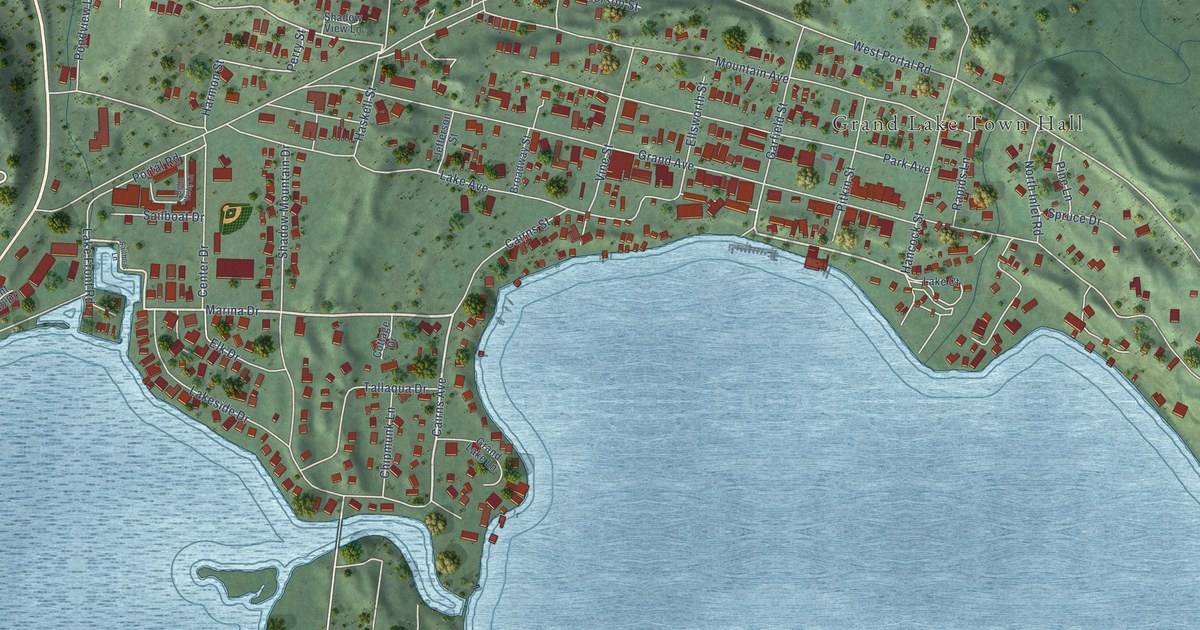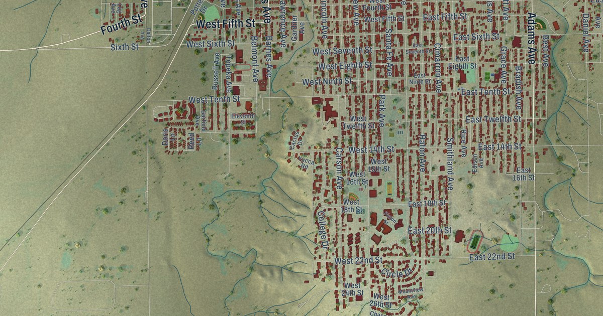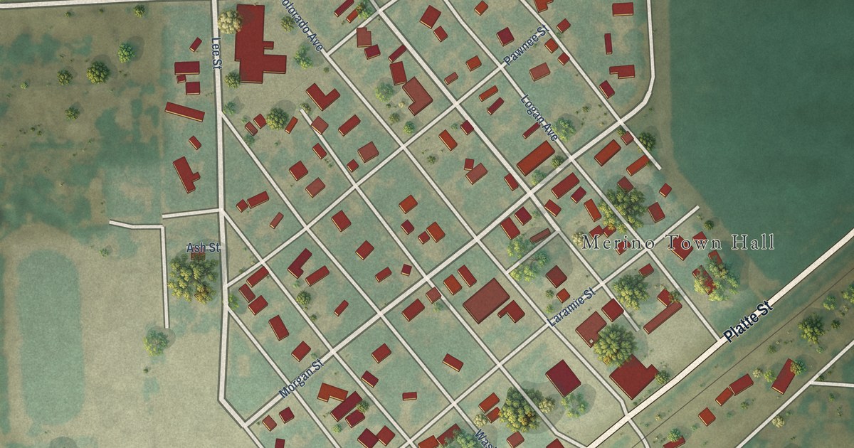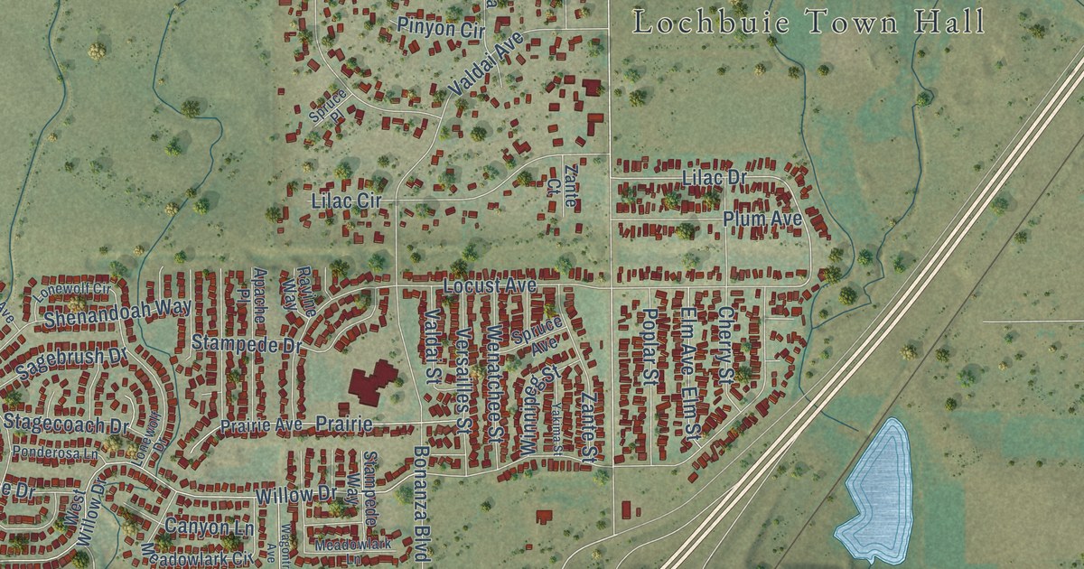
This beautifully detailed map of Lochbuie, Colorado was created in 2026 using aerial imagery combined with modern topographical, census, street and landmark data. It’s a one-of-a-kind view of Lochbuie that combines accurate data with a vintage aesthetic. The map shows every building in its true location, many of the roads carry their names, and the shaded topographic relief shows the shape of the land.
Explore an aerial view of Lochbuie, Colorado
On the map you’ll find Lochbuie Town Hall, Tonville, and Frontage Road I- 76, along with Jewel Street, Ruby Avenue, Jewell Street, Willow Drive, Frances Steele Boulevard, Lilac Drive, Baseline Road, East 168th Avenue, West Willow Drive, and more. If you look closely you can even find your house accurately drawn in its correct location. Zoom in on the preview to look for yours.
Did you know this piece of Lochbuie, Colorado history?
From the Town of Lochbuie: "In 1974, to be able to improve their water and sewer systems, residents voted to incorporate, naming their new town Lochbuie. McClain's grandparents' ancestral home was Lochbuie, Isle of Mull, Scotland."
Take a closer look at the Lochbuie map
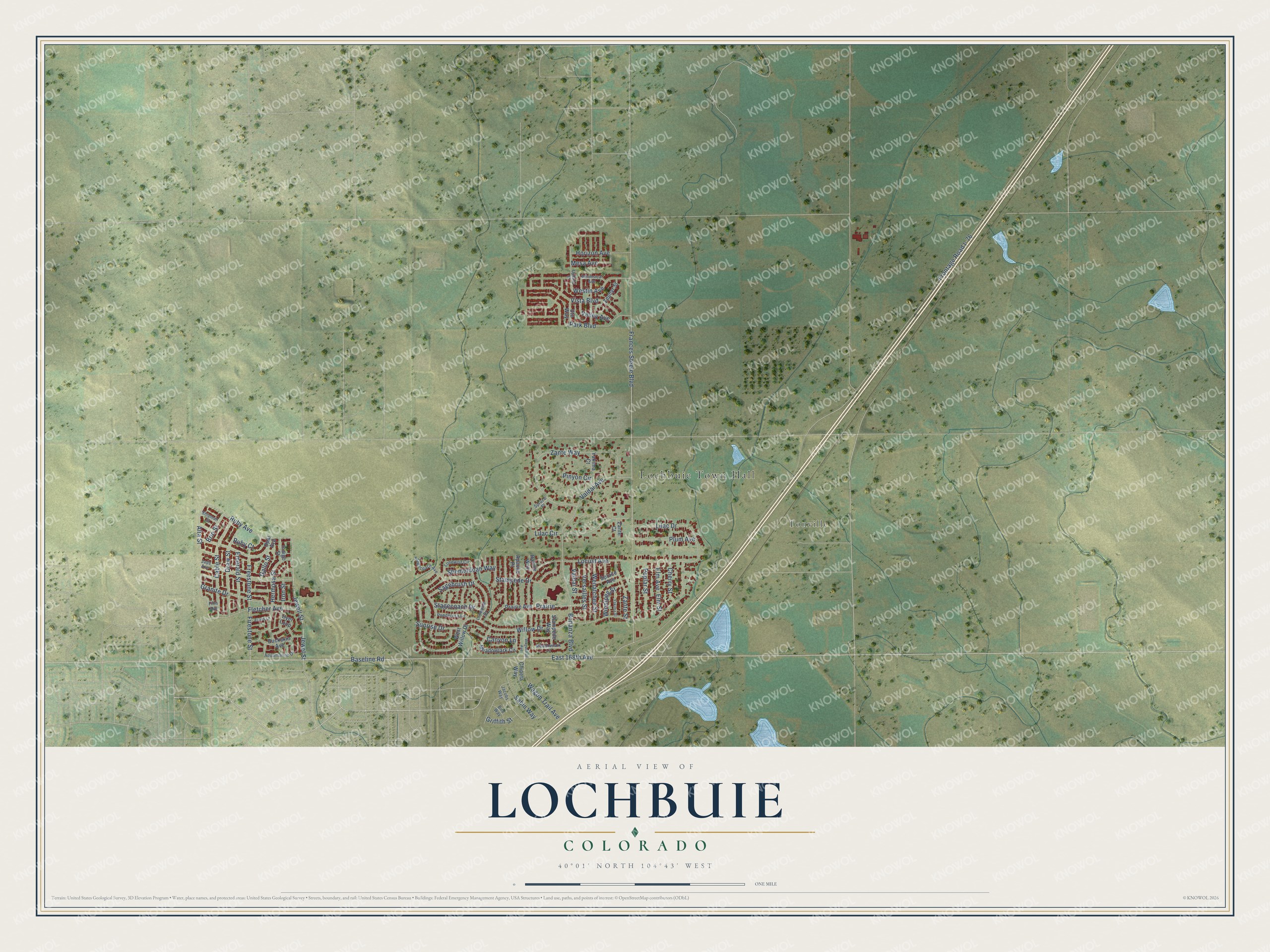
Street and place names on the Lochbuie, Colorado map
These names are printed on the map of Lochbuie, Colorado.
Places: Lochbuie Town Hall and Tonville.
Streets and roads: Jewel Street, Frances Steele Boulevard, Willow Drive, Lilac Drive, Alta Street, Ruby Avenue, Jewell Street, Baseline Road, East 168th Avenue, Frontage Road I- 76, Locust Avenue, Zante Way.
More street names, A to Z
Apache Place, Aquamarine Drive, Bird Way, Bonanza Boulevard, Brio Street, Buckskin Avenue, Cable Street, Canyon Lane, Cherry Street, Chipeta Way, Draw Street, Dyer Loop, Elm Avenue, Elm Street, Emerald Street, Evans Lane, Fifth Avenue, Firestone Street, Fletcher Avenue, Freestone Street, Gallo Street, Granite Drive, Griffith Street, Hermosa Street, Horizon Avenue, Indigo Street, Iron Street, Jacobs Way, Jade Avenue, Lilac Circle, Lonewolf Circle, Lonewolf Drive, Meadowlark Circle, Meadowlark Lane, Mesa Avenue, Opal Avenue, Park Boulevard, Pinyon Circle, Plum Avenue, Ponderosa Lane, Poplar Street, Prairie, Prairie Avenue, Ravine Way, Ruby Court, Sabin Way, Sagebrush Drive, Shenandoah Way, Shipman Street, Spruce Avenue, Spruce Place, Stagecoach Avenue, Stagecoach Drive, Stampede Drive, Stampede Way, Sunrise Drive, Upland Street, Ute Way, Valdai Avenue, Valdai Street, Valley Avenue, Versailles Street, Vista Boulevard, Wagon Trail Avenue, Wagontrail Avenue, Wenatchee Street, Westin Avenue, West Willow Drive, Whimsical Avenue, Winnipeg Street, Yakima Court, Yakima Street, Zante Court, Zante Street, Zephyr Street.
See the Lochbuie, Colorado map on a wall
The Lochbuie map as an 18 x 24 inch print in a black frame.

This beautifully detailed map of Lochbuie makes an attractive addition to your office, library, or den, and it can even be used to teach children the geography and history of the area. It also makes a great gift for anyone with Lochbuie roots. When you’re done exploring, click here to get your copy of the Lochbuie map.