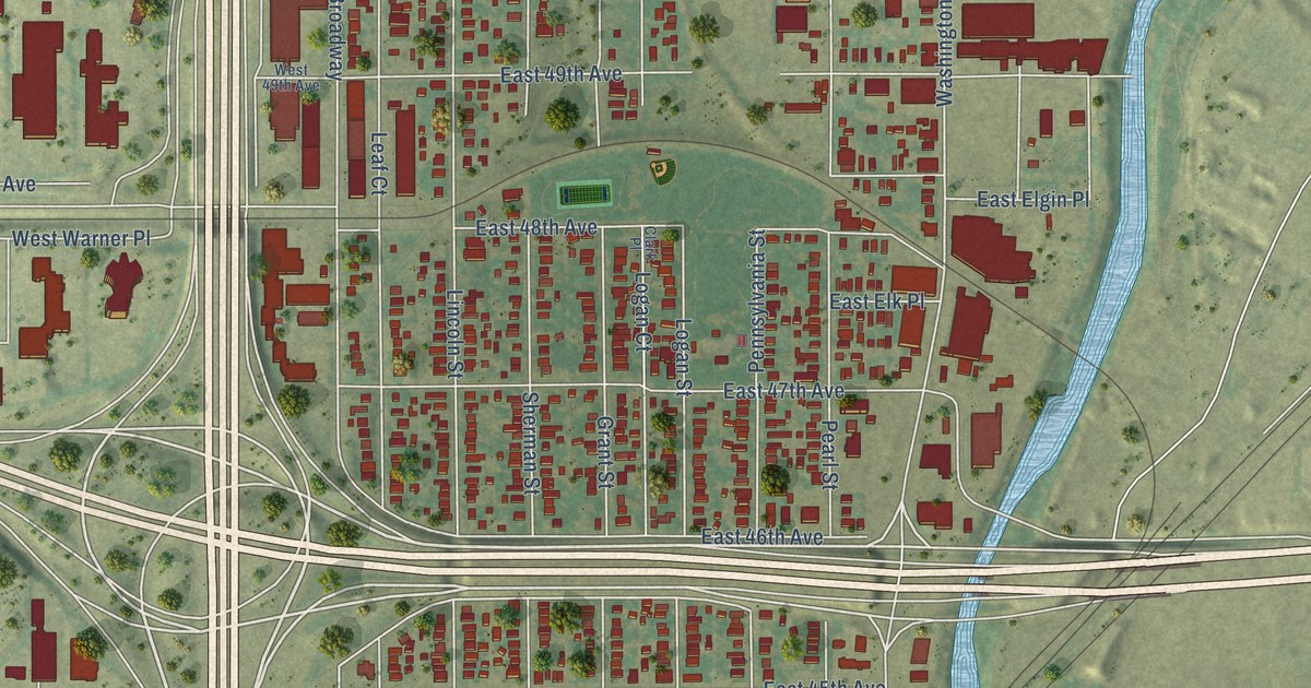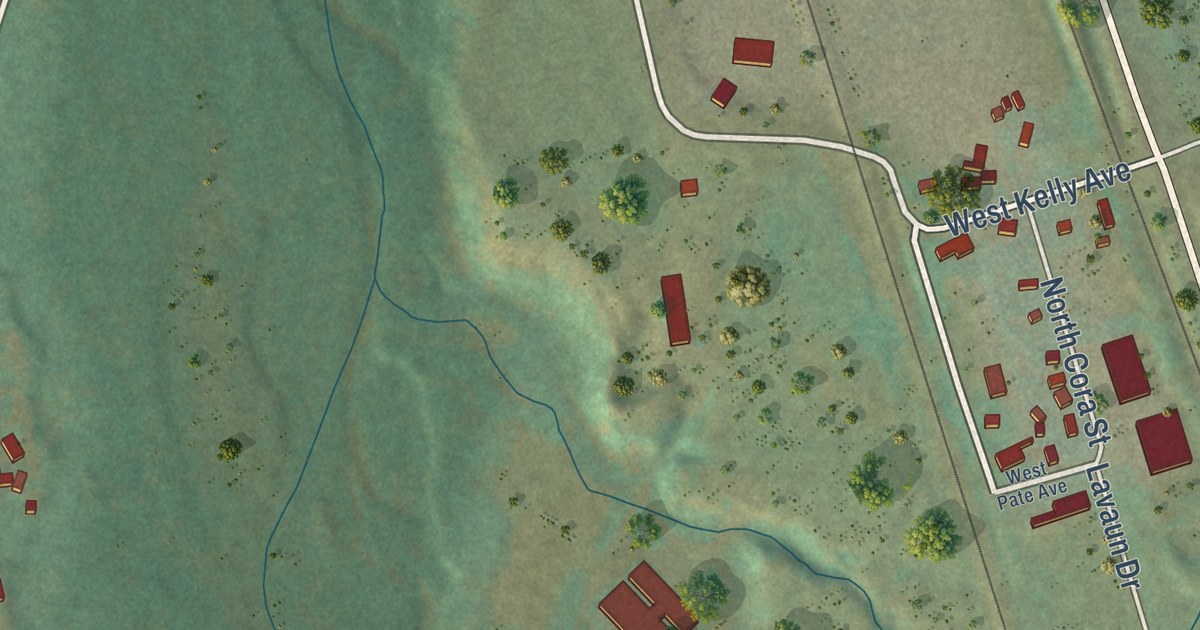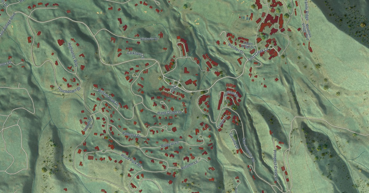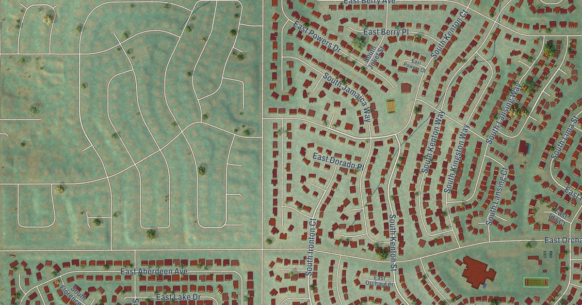
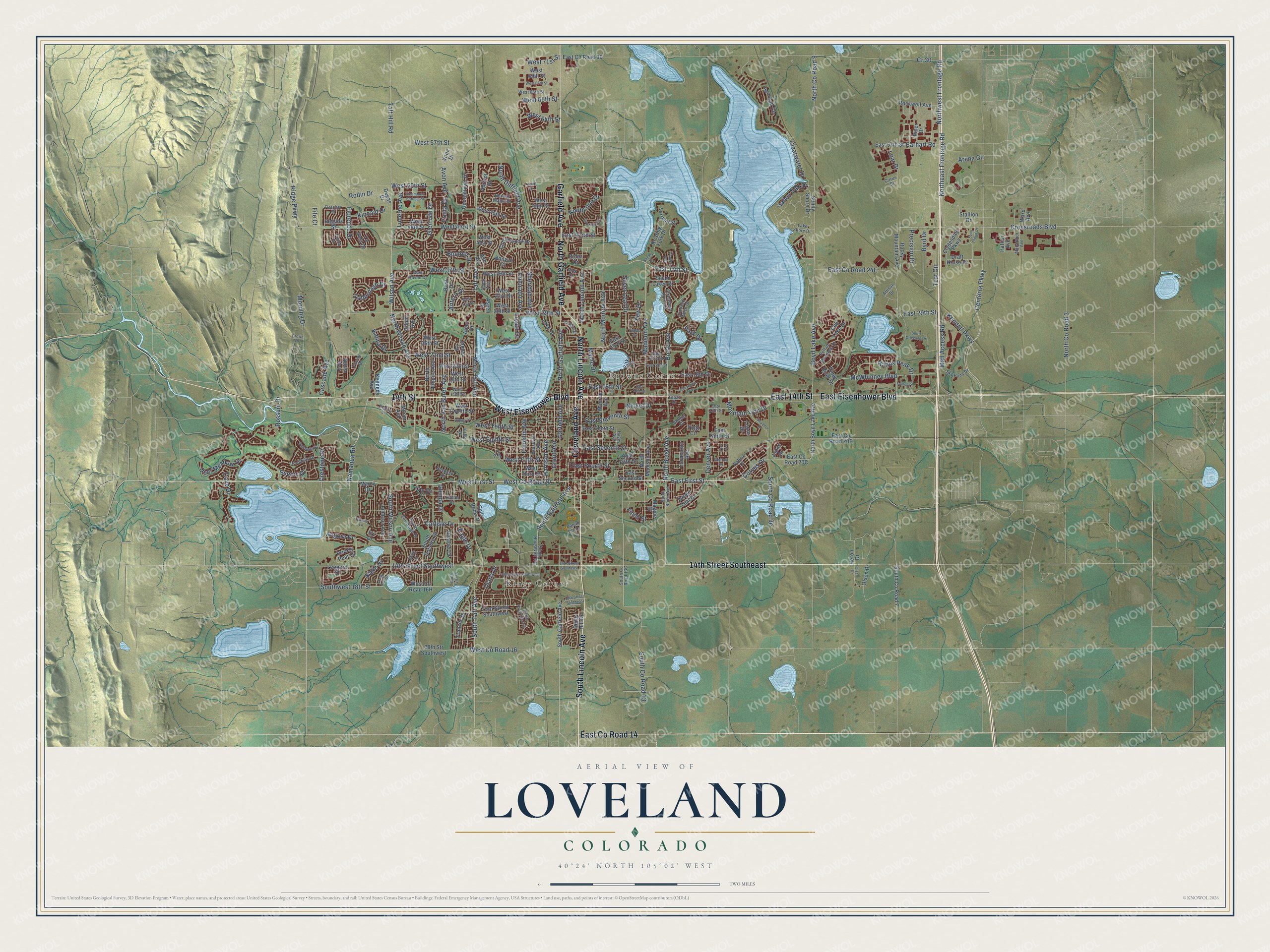
This beautifully detailed map of Loveland, Colorado was created in 2026 using aerial imagery combined with modern topographical, census, street and landmark data. It’s a one-of-a-kind view of Loveland that combines accurate data with a vintage aesthetic. The map shows every building in its true location, many of the roads carry their names, and the shaded topographic relief shows the shape of the land.
Explore an aerial view of Loveland, Colorado
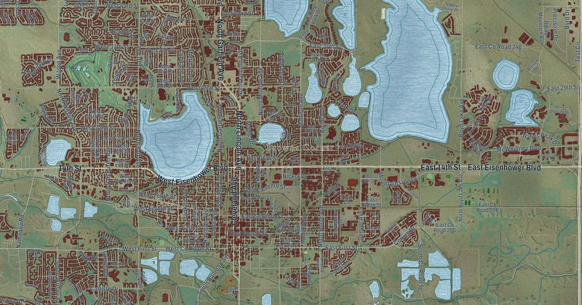
On the map you’ll find Kings Corner, Browns Corner, and East Co Road 14, along with North Lincoln Avenue, South Lincoln Avenue, Garfield Avenue, North Garfield Avenue, East Eisenhower Boulevard, East 14th Street, West Eisenhower Boulevard, 14th Street, 14th Street Southeast, and more. If you look closely you can even find your house accurately drawn in its correct location. Zoom in on the preview to look for yours.
Did you know this about Loveland, Colorado?
From the National Register of Historic Places: "At this location, Harter and Herzinger constructed Loveland's first brick commercial building, a two-story edifice with the Herzinger and Harter Mercantile on the first floor, and a grange hall on the second floor."
Take a closer look at the Loveland map
Street and place names on the Loveland, Colorado map
These names are printed on the map of Loveland, Colorado.
Places: Kings Corner and Browns Corner.
Streets and roads: North Lincoln Avenue, East County Road 14, South Lincoln Avenue, Garfield Avenue, North Garfield Avenue, East Eisenhower Boulevard, East 14th Street, West Eisenhower Boulevard, 14th Street, 14th Street Southeast, Cleveland Avenue, West County Road 20.
More street names, A to Z
14th Street Southwest, 16th Street Southwest, 19th Street Southeast, 23rd Street Southwest, 28th Str Southwest, Abarr Drive, Allen Drive, Angora Drive, Antero Drive, Apple Avenue, Apricot Drive, Arena Circle, Artisan Drive, Ash Avenue, Aspen Drive, Avon Avenue, Banyan Court, Belle Drive, Bent Drive, Boise Avenue, Boulder Drive, Boyd Lake Avenue, Buffalo Mountain Drive, Bushnell Drive, Byrd Drive, Canter Lane, Carlisle Drive, Cascade Avenue, Cedar Drive, Centerra Parkway, Challenger Point Drive, Cheyenne Avenue, Cirrus Street, Clearwater Drive, Clydesdale Parkway, Colorado Avenue, Corvus Drive, Cottonwood Drive, Cove Drive, Cr 30, Crestone Drive, Crooked Wash Drive, Crossroads Boulevard, Crown Drive, Cub Lake Drive, Dafina Drive, Daniel Lee Drive, Deer Meadow Drive, Degas Drive, Denver Avenue, Derby Hill Drive, Diana Drive, Divide Drive, Draft Horse Drive, Eagle Drive, Earhart Road, East 13th Street, East 15th Street, East 16th Street, East 18th Street, East 19th Street, East 21st Street, East 23rd Street, East 29th Street, East 37th Street, East 42nd Street, East 57th Street, East County Road 30, East Eleventh Street, East Fifth Street, East First Street, East Fourth Street, East Ninth Street, East Second Street, East Seventh Street, East Tenth Street, Elder Drive, Emerald Street, Fife Court, Filbert Drive, Finch Street, Flagler Avenue, Fletcher Street, Florence Drive, Foothills Drive, Foxtrail Drive, Frances Drive, Franklin Avenue, Fruita Drive, Gemini Court, Georgetown Drive, Gilpin Avenue, Glenda Drive, Glen Haven Drive, Glen Isle Drive, Golf Vista Drive, Grant Avenue, Green Teal Drive, Hahns Peak Drive, Harrison Avenue, Hayes Avenue, Heather Drive, Heron Drive, Higgins Street, Hilltop Drive, Ivy Drive, James Drive, Janus Drive, Johnson Avenue, Katie Drive, Kelly Drive, Kendall Parkway, Kennedy Avenue, Kincaid Drive, Kiowa Drive, Knobcone Drive, Lake Drive, Lake Shore Drive, Lavastone Avenue, La Veta Drive, Lear Drive, Leopard Street, Lepus Drive, Lily Drive, Logan Court, Logan Drive, Lucerne Avenue, Macarthur Avenue, Madison Avenue, Magpie Drive, Mall Access Road, Maple Drive, Marcy Drive, McWhinney Boulevard, Milner Avenue, Monroe Avenue, Morning Drive, Mountain Lion Drive, Namaqua Road, Nickel Drive, North Boise Avenue, North Boyd Lake Avenue, North County Road 3, North County Road 9, North Duffield Avenue, Northeast Frontage Road, North Empire Avenue, North Madison Avenue, North Monroe Avenue, North Taft Avenue, North Van Buren Avenue, Northwest Frontage Road, North Wilson Avenue, Norway Maple Drive, Nucla Avenue, Olsen Drive, Olson Drive, Park Drive, Patton Avenue, Piney River Drive, Piper Drive, Polk Drive, Precision Drive, Prickly Pear Drive, Ranae Drive, Ridge Parkway, Roaring Fork Drive, Rockwell Avenue, Rocky Mountain Avenue, Rodin Drive, Roosevelt Avenue, Rossum Drive, Saint Cloud Drive, Sally Ann Drive, Scenic Drive, Sculptor Drive, Sea Gull Circle, Seeley Drive, Seven Lakes Drive, Sheridan Avenue, Silver Leaf Drive, Sitka Court, Sky Pond Drive, South Boise Avenue, South Colorado Avenue, South County Road 7, South County Road 13, South Dotsero Drive, South Edinburgh Drive, South Garfield Avenue, South Railroad Avenue, South Roosevelt Avenue, South Taft Avenue, South Tyler Drive, Southwest 18th Street, South Wilson Avenue, Spirit Crossing Drive, Split Rock Drive, Stallion Drive, Steamboat Springs Street, Sunny Shore Drive, Sunridge Drive, Tabernash Drive, Taft Avenue, Taft Hill Road, Tarryall Street, Test Circle, Tincup Drive, Topaz Drive, Tupelo Drive, Valley Oak Drive, Virgo Circle, Vona Drive, Ward Avenue, West 15th Street, West 18th Street, West 20th Street, West 22nd Street, West 25th Street, West 29th Street, West 30th Street, West 31st Street, West 33rd Street, West 36th Street, West 37th Street, West 41st Street, West 43rd Street, West 44th Street, West 45th Street, West 48th Street, West 50th Street, West 57th Street, West 64th Street, West 65th Street, West 66th Street, West 67th Street, West 69th Street, West 71st Street, West County Road 16, West Eighth Street, West Fifth Street, West First Street, West Tenth Street, West Third Street, West Twelfth Street, Wilson Avenue, Yew Drive, Zachary Drive, Zinc Avenue.
See the Loveland, Colorado map on a wall
The Loveland map as an 18 x 24 inch print in a black frame.

This beautifully detailed map of Loveland makes an attractive addition to your office, library, or den, and it can even be used to teach children the geography and history of the area. It also makes a great gift for someone who left Loveland and still calls it home. When you’re done exploring, click here to get your copy of the Loveland map.