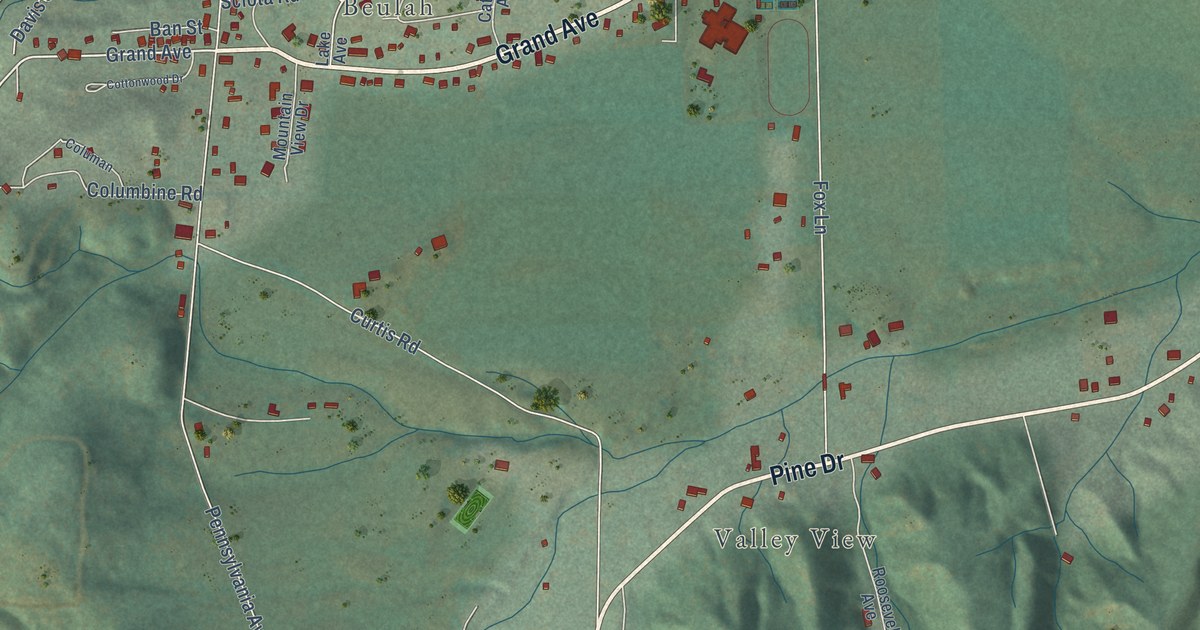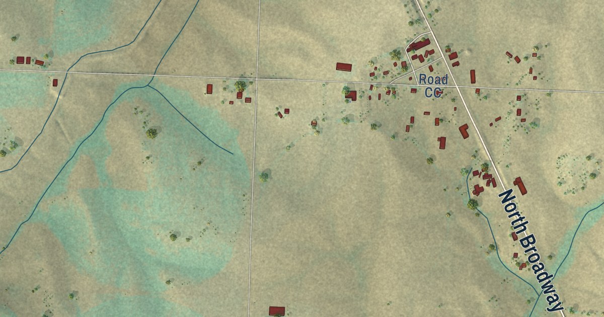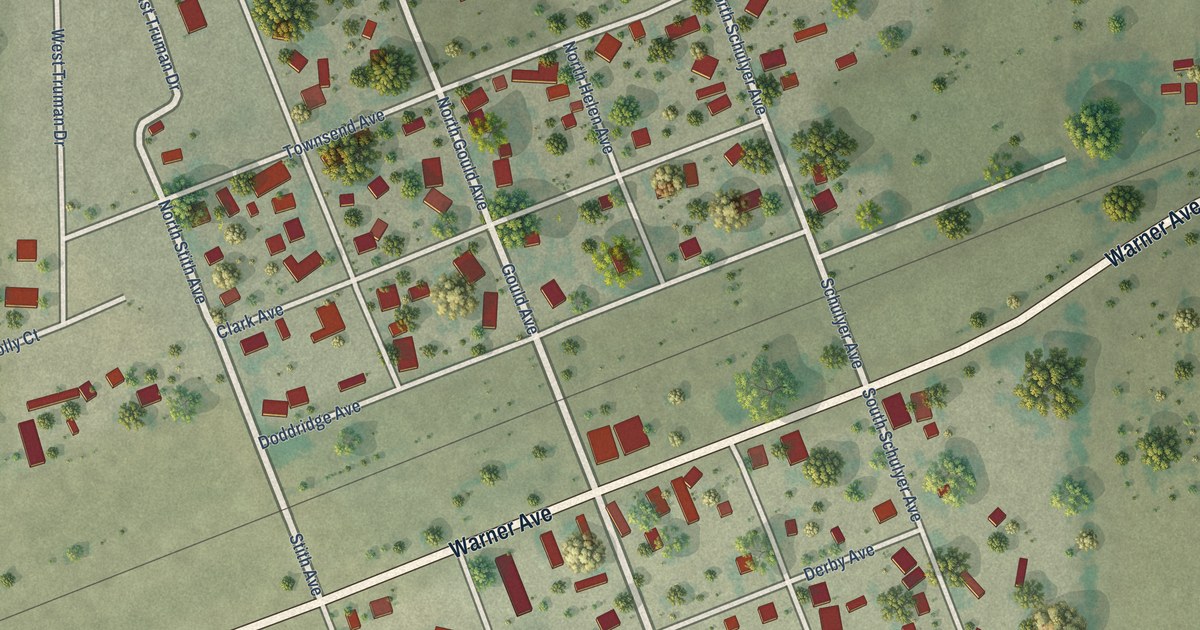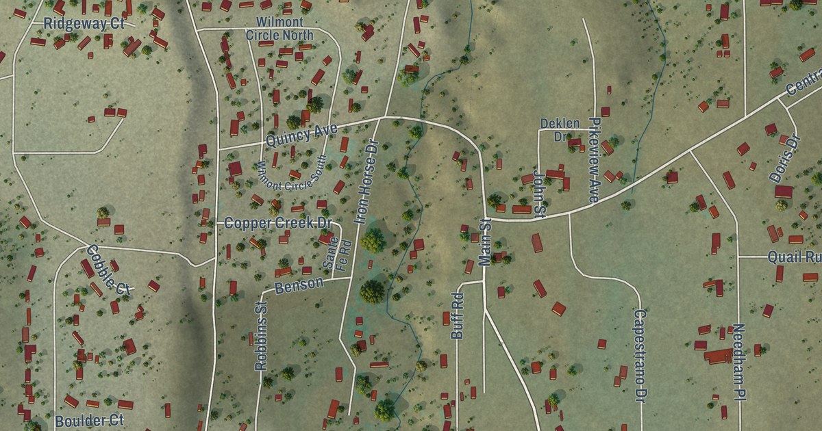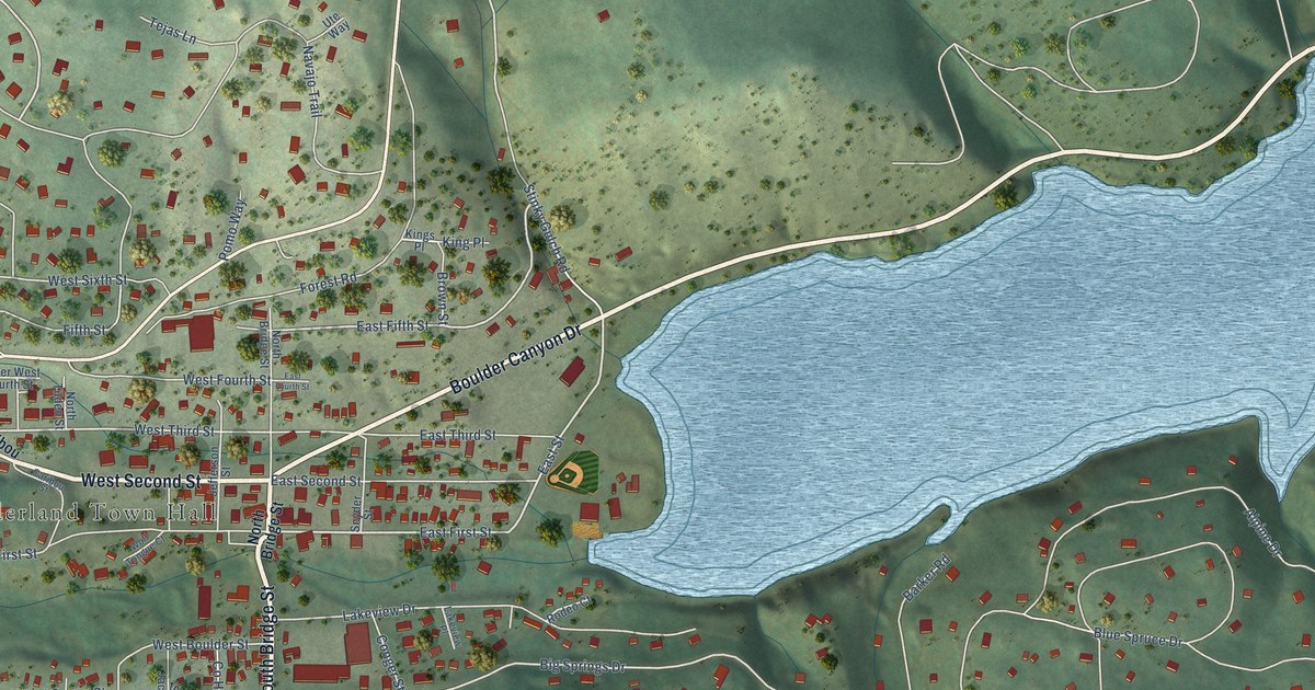
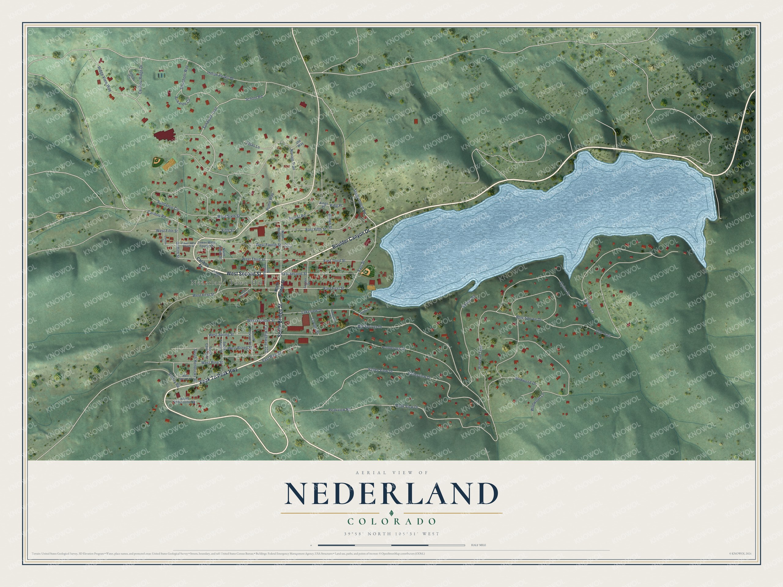
This beautifully detailed map of Nederland, Colorado was created in 2026 using aerial imagery combined with modern topographical, census, street and landmark data. It’s a one-of-a-kind view of Nederland that combines accurate data with a vintage aesthetic. The map shows every building in its true location, many of the roads carry their names, and the shaded topographic relief shows the shape of the land.
Explore an aerial view of Nederland, Colorado
On the map you’ll find Nederland Town Hall, along with South Bridge Street, West Second Street, Boulder Canyon Drive, Peak To Peak Highway, Sundown Trail, East Street, East Fifth Street, East First Street, Big Springs Drive, Stinky Gulch Road, West Third Street, and more. If you look closely you can even find your house accurately drawn in its correct location. Zoom in on the preview to look for yours.
Did you know this piece of Nederland, Colorado history?
From the 1905 History and Production of the Gold Fields of Boulder County, Colorado: "On account of the prohibitory smelting rates existing at that time, a large silver mill was erected on middle Boulder Creek at Nederland, four miles’ distant from the mine, where all the ore produced by the Caribou was reduced to bullion."
Take a closer look at the Nederland map
Street and place names on the Nederland, Colorado map
These names are printed on the map of Nederland, Colorado.
Places: Nederland Town Hall.
Streets and roads: South Bridge Street, West Second Street, Boulder Canyon Drive, Peak To Peak Highway, Sundown Trail, East Street, East Fifth Street, East First Street, Big Springs Drive, Stinky Gulch Road, West Third Street, Alpine Drive.
More street names, A to Z
Alpine Court, Arikaree Circle, Barker Road, Blue Spruce Drive, Brown Street, Caribou Ridge Drive, Caribou Road, Caribou Street, Colson Street, Conger Street, County Highway 103, Doe Trail, East Fourth Street, East Pine Street, East Second Street, East Third Street, Eldora Road, Fifth Street, Forest Road, Griffith Street, Indian Peaks Drive, Jefferson Street, Juneau Circle, King Place, Kings Place, Lakeview Drive, Lakeview Place, Lower West Fourth Street, Navajo Trail, North Bridge Street, North Tilden Street, Peak View Drive, Peakview Road, Pinecliff Trail, Pomo Way, Ponderosa Drive, Ridge View Way, Rodeo Court, School Road, Shoshoni Way, Snyder Street, South Caribou Street, South Hendricks Street, South Jackson Street, South Rollinsville Road, South Tilden Street, Sundance Circle, Tejas Lane, Ute Way, Valleyview Drive, Valley View Drive, West Boulder Street, West Breed Street, West Fifth Street, West First Street, West Fourth Street, West Pine Street, West Sixth Street, West Spring Street, West Spruce Street, Wildwood Drive, Wildwood Lane, Wolf Tongue Court.
See the Nederland, Colorado map on a wall
The Nederland map as an 18 x 24 inch print in a black frame.

This beautifully detailed map of Nederland makes an attractive addition to your office, library, or den, and it can even be used to teach children the geography and history of the area. It also makes a great gift for someone who left Nederland and still calls it home. When you’re done exploring, click here to get your copy of the Nederland map.