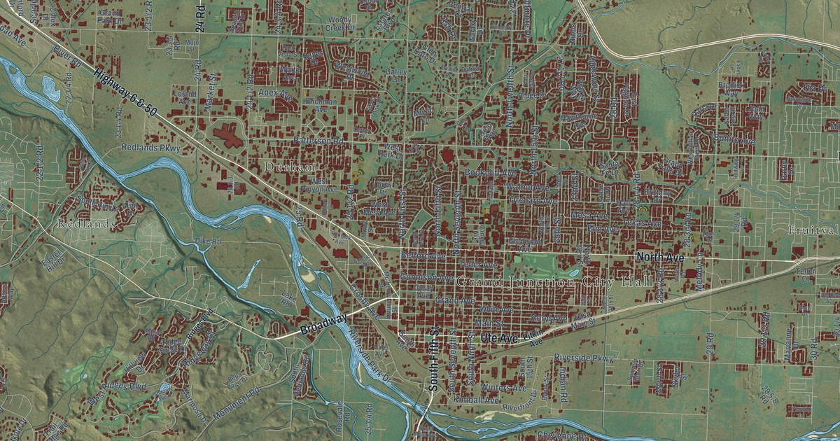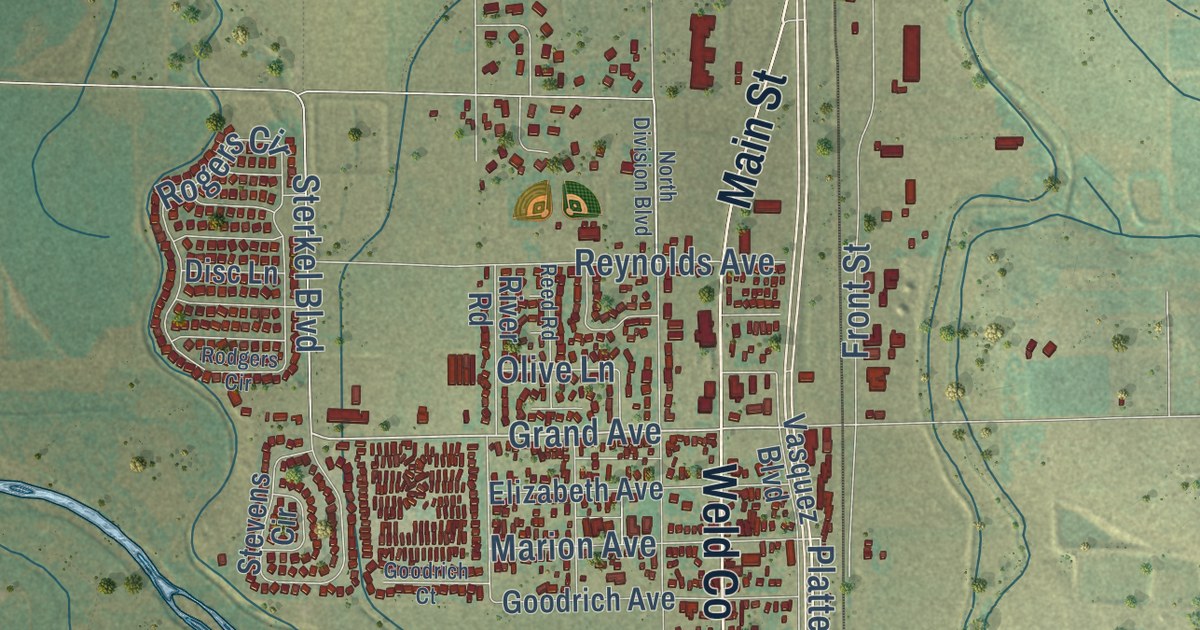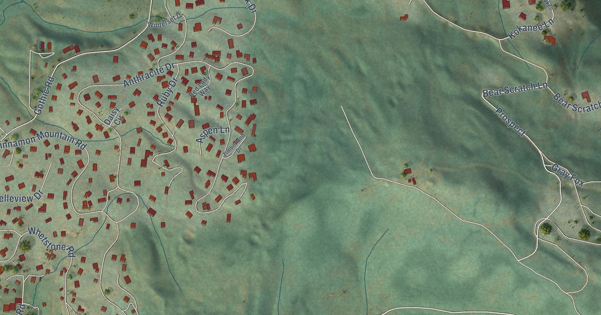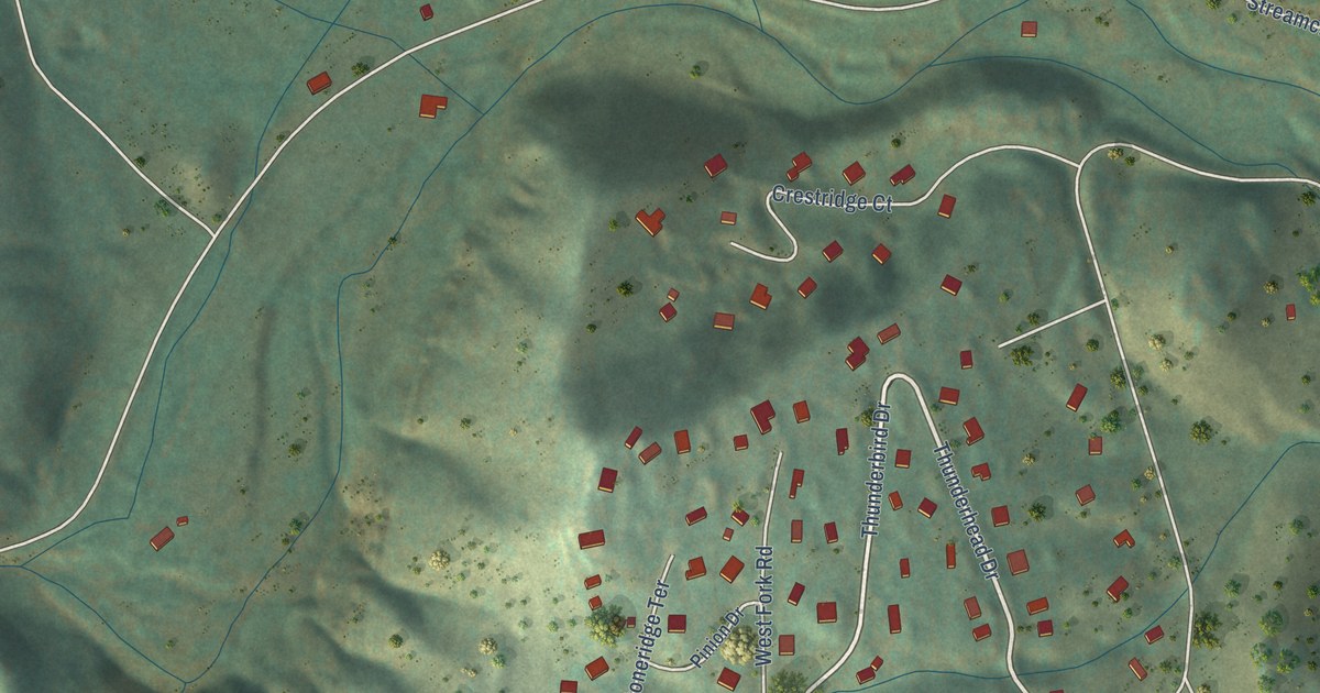
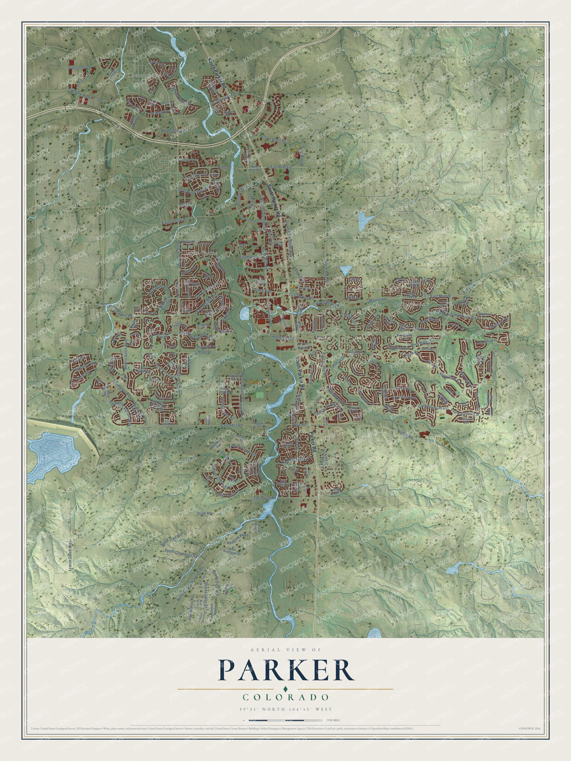
This beautifully detailed map of Parker, Colorado was created in 2026 using aerial imagery combined with modern topographical, census, street and landmark data. It’s a one-of-a-kind view of Parker that combines accurate data with a vintage aesthetic. The map shows every building in its true location, many of the roads carry their names, and the shaded topographic relief shows the shape of the land.
Explore an aerial view of Parker, Colorado
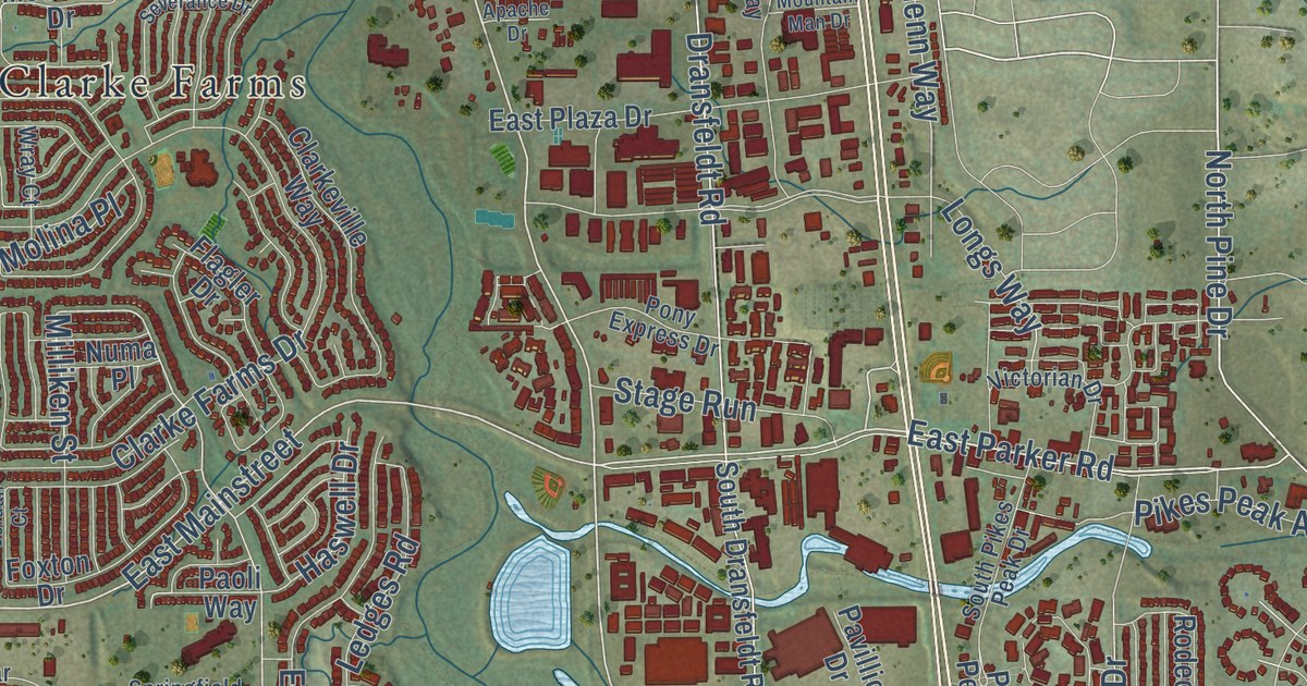
On the map you’ll find Parker Town Hall, Clarke Farms, Cottonwood, and Saddlebrook, along with South Parker Road, Parker Road, East Main Street, North Jordan Road, Motsenbocker Road, Twenty Mile Road, Dransfeldt Road, Pine Drive, and more. If you look closely you can even find your house accurately drawn in its correct location. Zoom in on the preview to look for yours.
Did you know this piece of Parker, Colorado history?
From the Colorado Encyclopedia: "Parker began as a collection of homesteads around Twenty Mile House, and the railroad allowed the town to expand. By the turn of the century it included a saloon, mercantile, dry goods store, water tower and pump house, creamery, and school."
Take a closer look at the Parker map
Street and place names on the Parker, Colorado map
These names are printed on the map of Parker, Colorado.
Places: Parker Town Hall, Cottonwood, Clarke Farms and Saddlebrook.
Streets and roads: Parker Road, South Parker Road, East Main Street, North Jordan Road, Canterberry Parkway, Twenty Mile Road, Dransfeldt Road, Pine Drive, East Mainstreet, East Stroh Road, Mainstreet, North Pine Drive.
More street names, A to Z
Acer Drive, Allendale Avenue, Alpine Phlox Street, Apache Drive, Apache Plume Drive, Auklet Street, Azalea Avenue, Bayne Way, Bay Oaks Avenue, Bayou Gulch Road, Becket Drive, Bent Oaks Street, Billingsley Trail, Birch Run Road, Birds Foot Lane, Blackwell Way, Blackwolf Way, Bluetrail Avenue, Bolero Drive, Bradbury Ranch Drive, Broadmoor Drive, Broad Wing Drive, Buckhorn Creek Street, Canterberry Trail, Canyon Rim Circle, Carlson Drive, Carob Circle, Cedar Gulch Parkway, Chambers Road, Chipper Lane, Clarke Farms Drive, Clarkeville Way, Cloverleaf Circle, Clove Way, Club Drive, Coffee Tree Street, Compark Boulevard, Compark Court, Cottonwood Drive, Cottonwood Way, Country Meadows Drive, Crown Crest Boulevard, Day Star Drive, Domingo Court, Double Angel Road, East Auburn Hills Drive, East Black Horn Drive, East Buffaloberry Drive, East Cattle Avenue, East Clear Creek Drive, East Creekside Drive, East Crooked Pine Circle, East Dewberry Drive, East Emilia Drive, East Firefly Avenue, East Hess Road, East Hilltop Road, East Hollow Horn Avenue, East Idyllwilde Drive, East Laurel Street, East Lincoln Avenue, East Lupine Drive, East Molly Avenue, East Neu Towne Parkway, East Parker Road, East Pine Lane, East Plaza Drive, East Richlawn Drive, East Shady Ridge Road, East Stroll Avenue, Elton Way, Endeavor Drive, Filly Avenue, Firebrick Drive, Flagler Drive, Foxton Drive, French Creek Avenue, Gail Way, Game Trail, Glenmoor Drive, Golfview Lane, Grasslands Drive, Haley Avenue, Halfinger Avenue, Haswell Drive, Heirloom Parkway, Henslow Parkway, Henson Creek Street, Hess Road, Hill Gail Way, Hilltop Road, Hitching Post Circle, Holly Hills Way, Hop Clover Trail, Hope Dale Avenue, Horseshoe Lane, Ironstone Way, Jordan Court, Jordan Road, Keyser Creek Avenue, Larch Trail, Latigo Lane, Ledges Road, Leesburg Road, Lemon Gulch Way, Lincoln Meadows Parkway, Longs Peak Lane, Longs Way, Main Street, Martinello Drive, McClellan Road, McGarrity Avenue, Melco Street, Milliken Street, Mill Valley Street, Molina Place, Moorside Drive, Motsenbocker Road, Mountain Man Drive, Mount Elbert Place, Nate Drive, Newlin Gulch Boulevard, Night Heron Drive, North Crowfoot Valley Road, North Dixon Drive, North Dransfeldt Road, North Pine Lane Street, Numa Place, Omaha Avenue, Paoli Way, Parkerhouse Road, Parker Square Drive, Pavillion Drive, Peppy Blue Dot Ranch Drive, Pikes Peak Avenue, Pikes Peak Drive, Pine Bluffs Way, Pine Canyon Drive, Pine Grove Lane, Pine Hill Street, Pine Lane, Pine Lane Avenue, Pine Top Street, Piney Hill Road, Plover Circle, Ponderosa Drive, Pony Express Drive, Pope Road, Prairie Farm Circle, Prairie Trail Drive, Prickly Pear Circle, Quail Ridge Drive, Quail Road, Quail Run Drive, Quail Run Way, Reata Ridge Drive, Recreation Drive, Red Bud Drive, Red Bud Loop, Ridgeview Lane, Riva Ridge Drive, Riverchase Way, Rodeo Circle, Rose Mallow Avenue, Sagewood Lane, Sandreed Circle, Savory Circle, Scenic Park Drive, Seibert Circle, Severance Drive, Shasta Daisy Point, Shasta Daisy Street, Singing Winds Street, South Allerton Circle, South Bradbury Parkway, South Chambers Road, South Coltsfoot Drive, South Dransfeldt Road, South Flower Mound Way, South Grass River Trail, South Great Plain Way, South Jordan Road, South Meander Way, South Park Glenn Way, South Pikes Peak Drive, South Pine Drive, South Progress Way, South Robinson Ranch Court, South Saunter Lane, South Tallkid Court, South Wintergreen Parkway, Spirit Trail Boulevard, Springfield Drive, Stage Run, Stroh Ranch Drive, Stroh Ranch Way, Stroh Road, Switzer Park Lane, Tack Drive, Tallman Drive, Tammy Lane, Tara Lane, Telford Avenue, Tim Tam Way, Todd Drive, Torreys Peak Drive, Trail Sky Circle, Trail View Lane, Triple Crown Drive, Triple Crown Street, Twenty Mile Drive, Tyrolite Avenue, Unbridled Avenue, Ventana Street, Victorian Drive, Vista Circle, Vista Road, West Parker Road, Wheatgrass Circle, Whirlaway Avenue, White Hawk Drive, Wild Lupine Street, Wildrye Circle, Willowbend Lane, Wilson Circle, Woodside Lane, Wray Court, Yellow Daisy Drive.
See the Parker, Colorado map on a wall
The Parker map as an 18 x 24 inch print in a black frame.

This beautifully detailed map of Parker makes an attractive addition to your office, library, or den, and it can even be used to teach children the geography and history of the area. It also makes a great gift for anyone who grew up in Parker or moved away. When you’re done exploring, click here to get your copy of the Parker map.