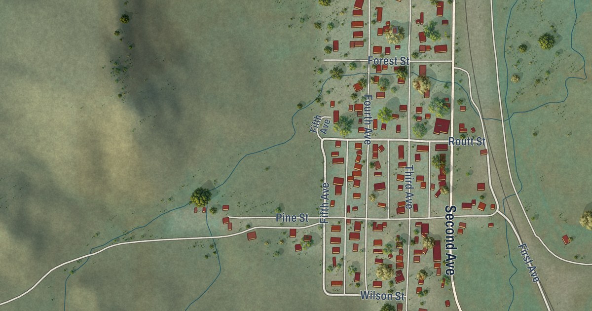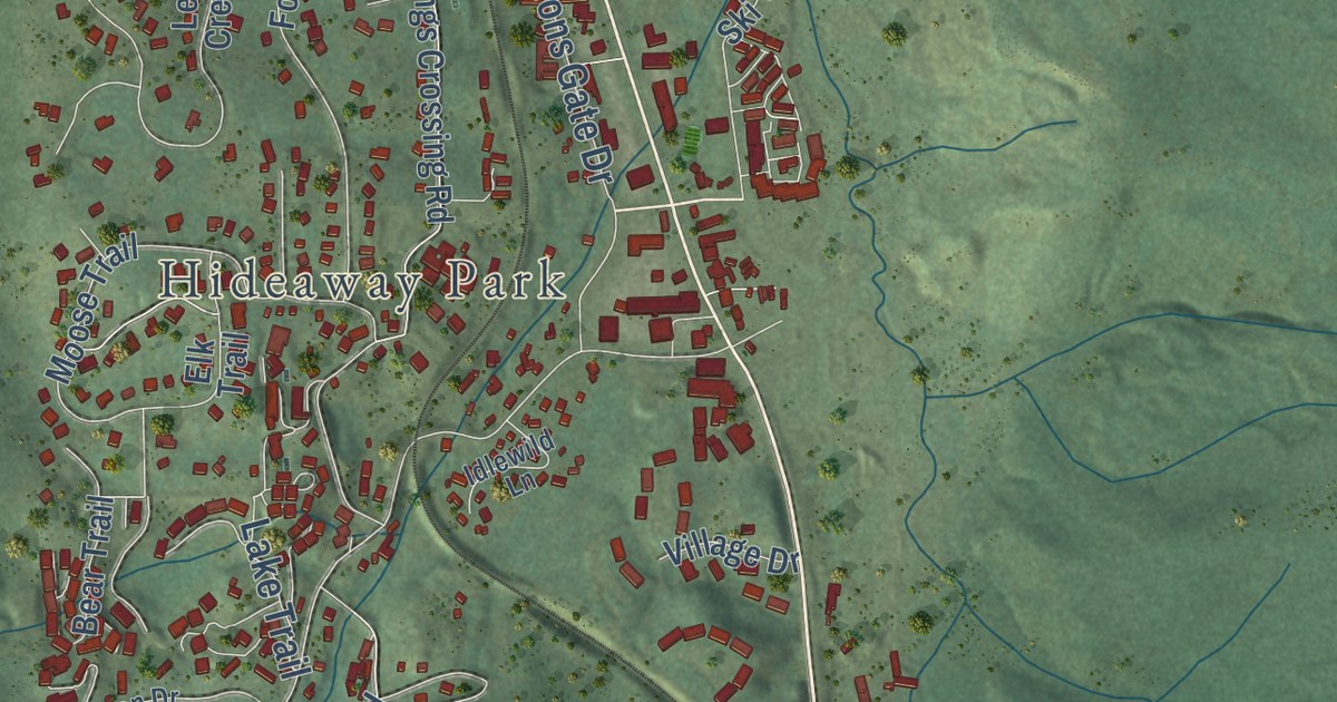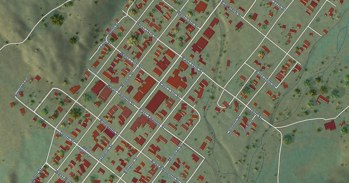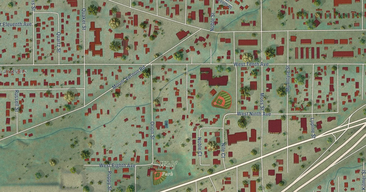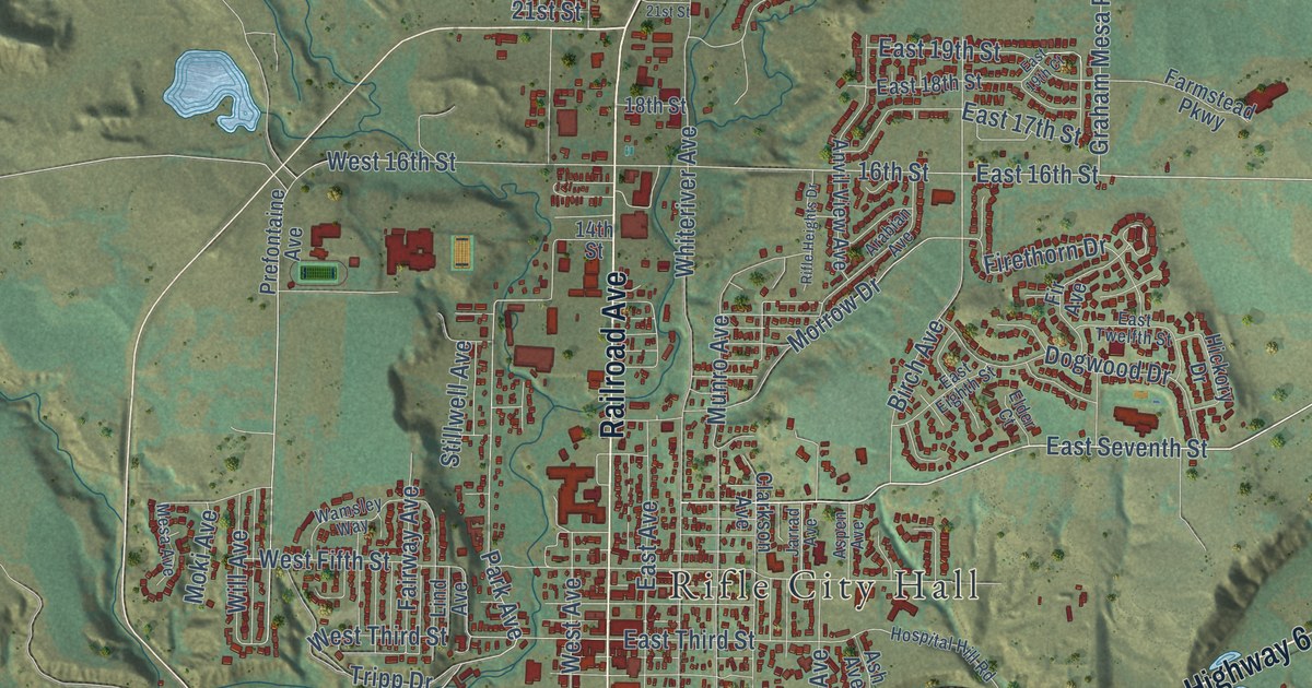
This beautifully detailed map of Rifle, Colorado was created in 2026 using aerial imagery combined with modern topographical, census, street and landmark data. It’s a one-of-a-kind view of Rifle that combines accurate data with a vintage aesthetic. The map shows every building in its true location, many of the roads carry their names, and the shaded topographic relief shows the shape of the land.
Explore an aerial view of Rifle, Colorado
On the map you’ll find Rifle City Hall, along with Centennial Parkway, Highway 6, Government Road, Railroad Avenue, East Seventh Street, East 16th Street, Airport Road, West Second Street, West Third Street, Park Avenue, 16th Street, and more. If you look closely you can even find your house accurately drawn in its correct location. Zoom in on the preview to look for yours.
Did you know this piece of Rifle, Colorado history?
From the Colorado Encyclopedia: "The town of Rifle, located west of Glenwood Springs at the confluence of Rifle Creek and the Colorado River, was also founded in 1882. The town incorporated in 1905."
Take a closer look at the Rifle map
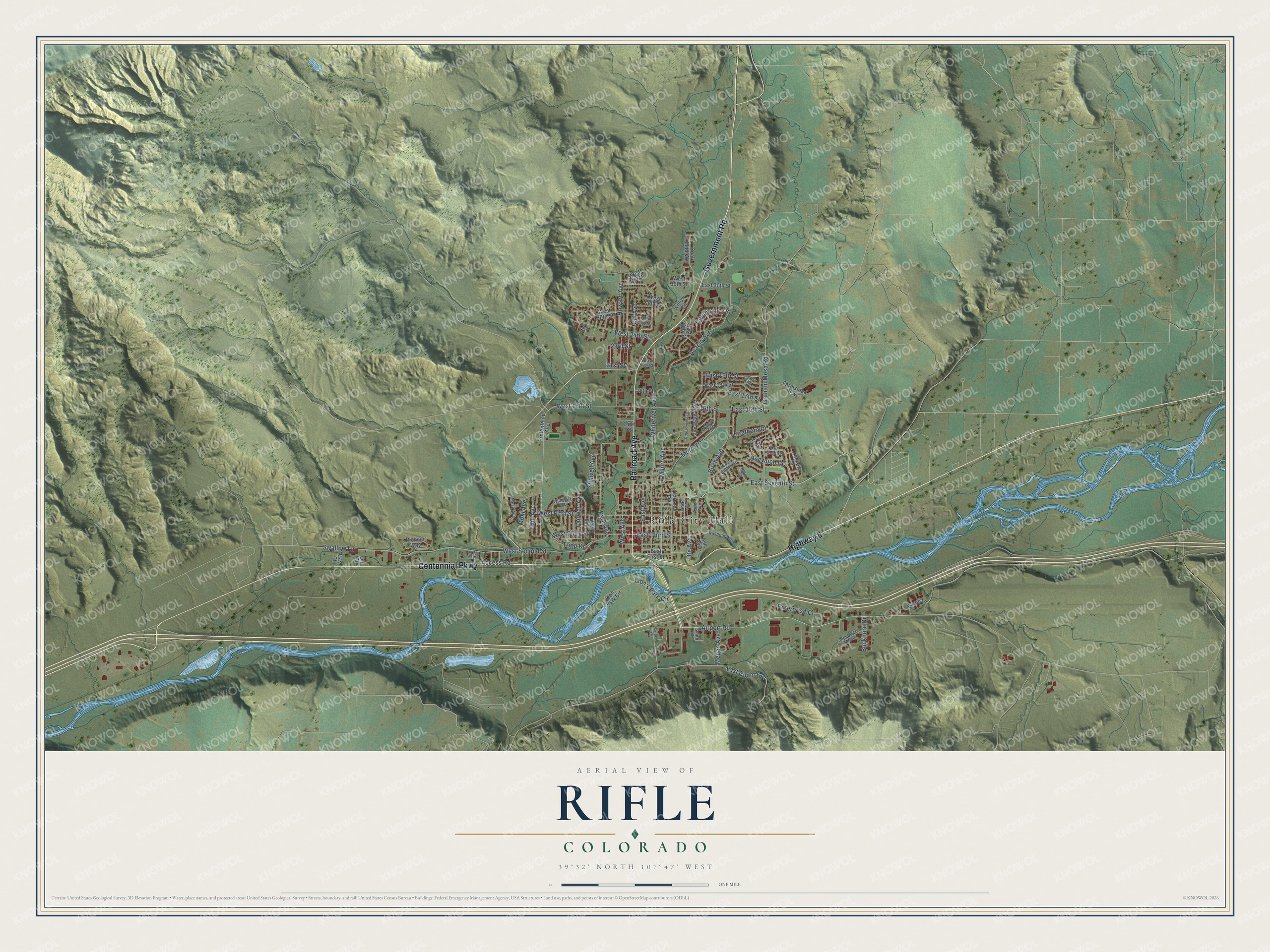
Street and place names on the Rifle, Colorado map
These names are printed on the map of Rifle, Colorado.
Places: Rifle City Hall.
Streets and roads: Centennial Parkway, Highway 6, Government Road, Railroad Avenue, East Seventh Street, East 16th Street, Airport Road, West Second Street, West Third Street, Park Avenue, 16th Street, Birch Avenue.
More street names, A to Z
14th Street, 18th Street, 21st Street, 23rd Street, Acacia Avenue, Access Road, Anvil View Avenue, Arabian Avenue, Ash Avenue, Aspen Avenue, Baron Lane, Buckhorn Drive, Clarkson Avenue, Coal Mine Avenue, Columbine Drive, Dogwood Drive, East 17th Street, East 18th Street, East 19th Court, East 19th Street, East 21st Street, East 26th Street, East 30th Street, East Avenue, East Eighth Street, East First Street, East Third Street, East Twelfth Street, Elder Court, Enterprise Court, Fairway Avenue, Farmstead Parkway, Fir Avenue, Firethorn Drive, Garden Lane, Gas Court, Graham Mesa Road, Hickory Drive, Hospital Hill Road, Howard Avenue, Jarrad Avenue, Last Chance Drive, Lind Avenue, Lion's Park Circle, Lion Park Circle, Megan Avenue, Mesa Avenue, Moki Avenue, Morrow Drive, Munro Avenue, Oil Court, Pine Lane, Pioneer Way, Prefontaine Avenue, Rail Avenue, Rifle Heights Drive, Smith Street, Stillwell Avenue, Swallow Lane, Ted Avenue, Tenth Street South, Tripp Drive, Ute Avenue, Wamsley Way, West 16th Street, West 24th Street, West 25th Street, West 26th Street, West 28th Court, West 30th Street, West 31st Court, West Avenue, West Fifth Street, Whiteriver Avenue, Will Avenue, Willow Circle.
See the Rifle, Colorado map on a wall
The Rifle map as an 18 x 24 inch print in a black frame.

This beautifully detailed map of Rifle makes an attractive addition to your office, library, or den, and it can even be used to teach children the geography and history of the area. It also makes a great gift for anyone with Rifle roots. When you’re done exploring, click here to get your copy of the Rifle map.