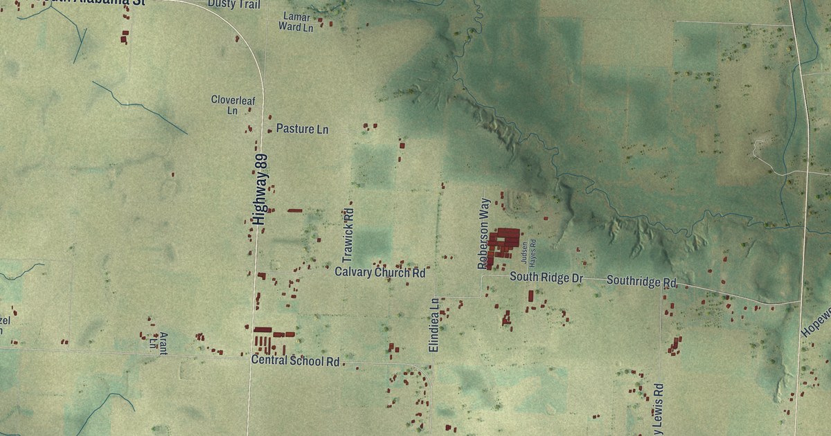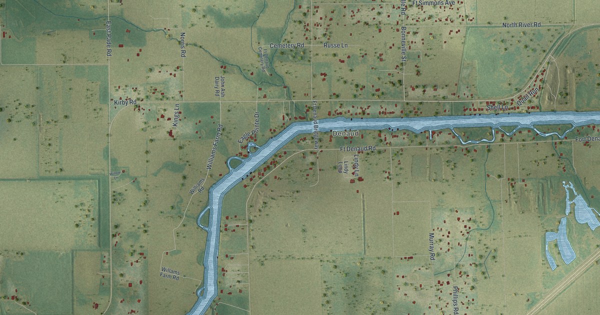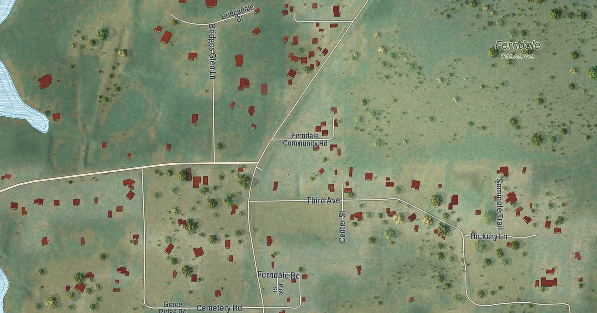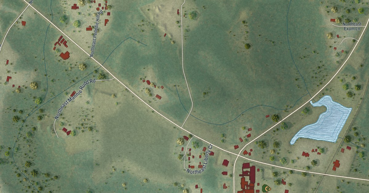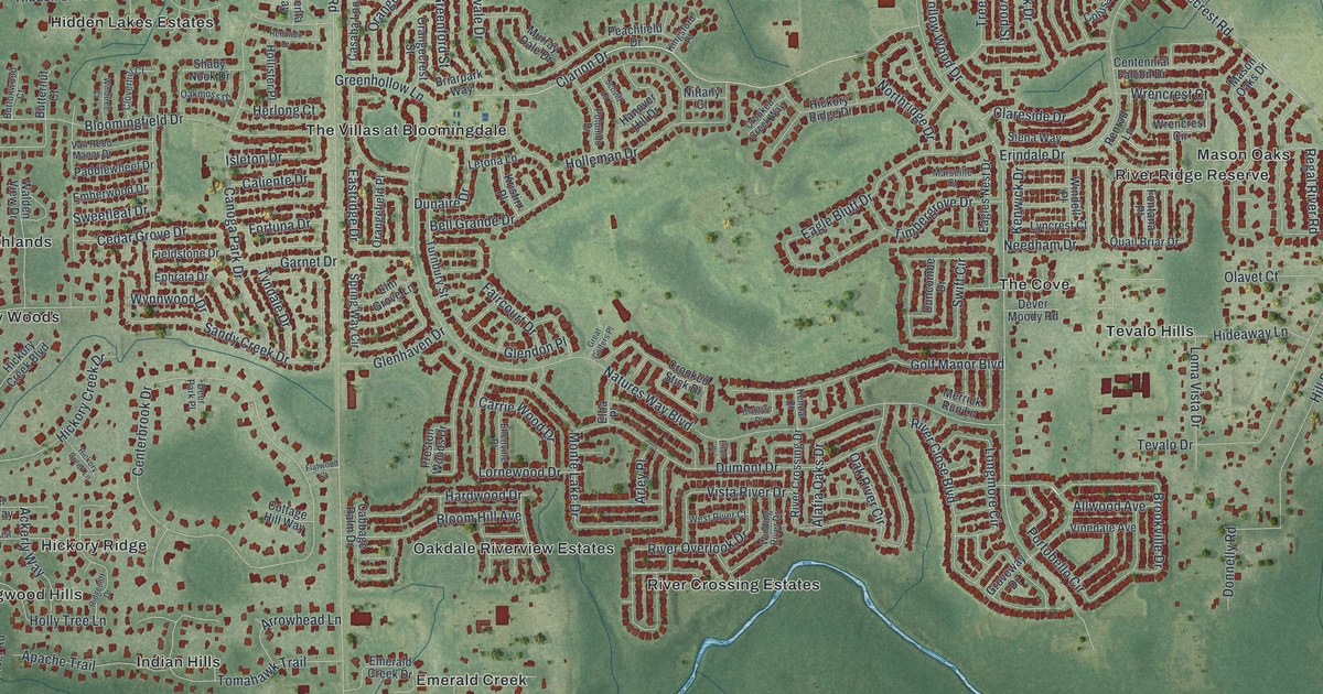
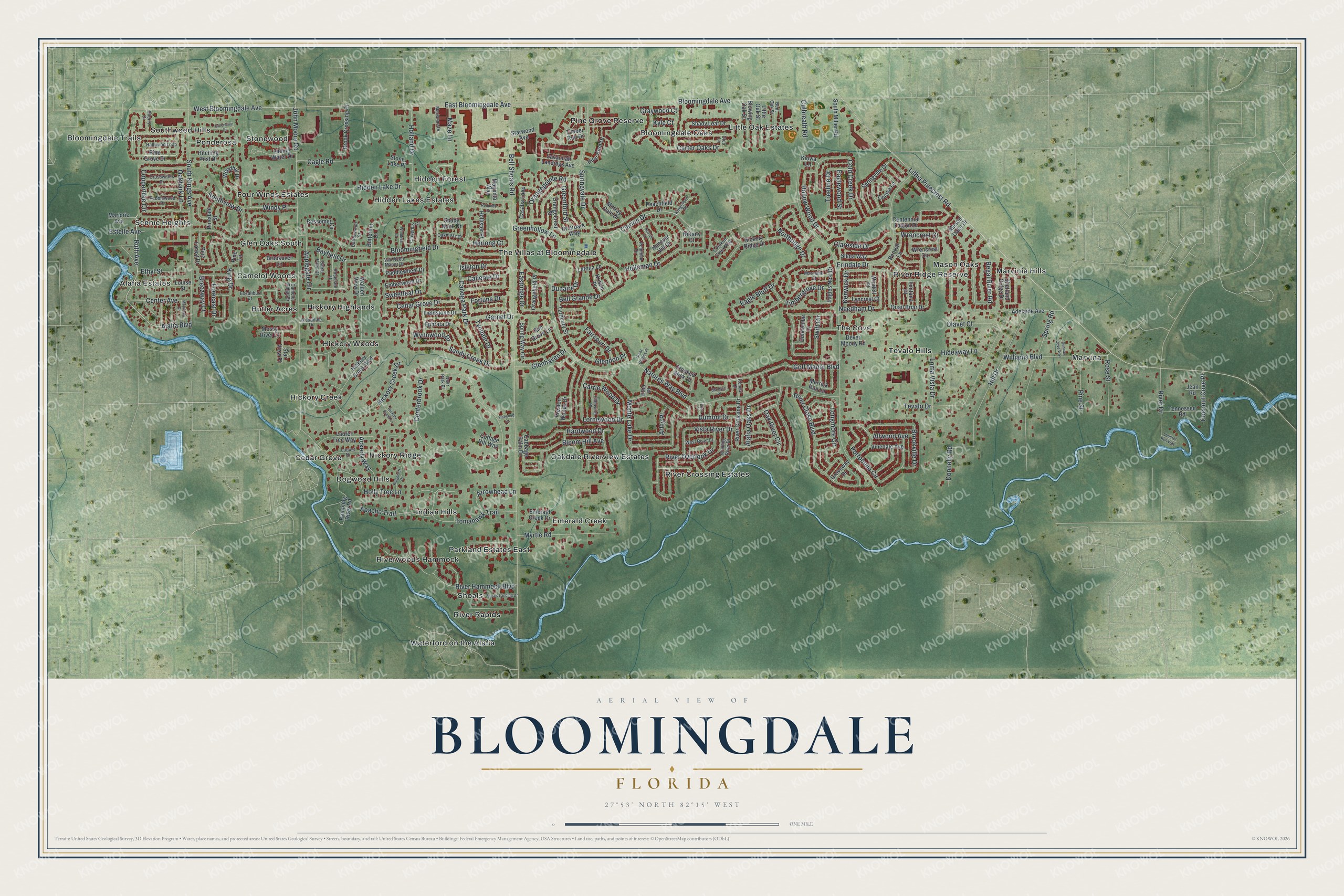
This beautifully detailed map of Bloomingdale, Florida was created in 2026 using aerial imagery combined with modern topographical, census, street and landmark data. It's a modern aerial view of Bloomingdale in Hillsborough County, Florida, that combines modern data with a vintage aesthetic. The roads feature printed names, and if you look closely you can find your exact house accurately shown in its correct location.
Explore an aerial view of Bloomingdale, Florida
On this map you'll find River Crossing Estates, Bloomingdale Trails, Marvinia Hills, Waterford on the Alafia, Pine Grove Reserve, Hidden Lakes Estates, Hickory Creek, The Cove, Emerald Creek, Little Oak Estates, Alafia Estates, Glen Oaks South, and more. Each red shape is a building, so zoom in on the preview and look for yours.
Bloomingdale has a story worth telling. The Tampa Bay History Center puts it this way: "In the late 1840’s, early settlers began arriving in Bloomingdale, located in the vicinity of Lithia Pinecrest Road, Bell Shoals Road and Bloomingdale Avenue, north of the Alafia River. By 1885, the residents supported a Presbyterian, a Catholic, a Methodist and a Baptist church."
Bloomingdale is a community in Hillsborough County. The Census Bureau counted 22,947 people here in 2020.
Take a closer look at the Bloomingdale map
Names on this map
These names are printed on this map.
Places: River Crossing Estates, Bloomingdale Trails, Marvinia Hills, Waterford on the Alafia, Pine Grove Reserve, Hidden Lakes Estates, Hickory Creek, The Cove, Emerald Creek, Little Oak Estates, Alafia Estates, Glen Oaks South, Stonewood, The Villas at Bloomingdale, Oakdale Riverview Estates, Indian Hills, Hickory Woods, Marvina, Scenic Heights, Cedar Grove, Riverwoods Hammock, Bloomingdale Oaks, Mason Oaks, Four Winds Estates, Hickory Ridge, Ponderosa, River Rapids, Tevalo Hills, Parkland Estates East, Camelot Woods, Hickory Highlands, Southwood Hills, Dogwood Hills, Butler Acres, Hidden Forest, River Ridge Reserve and Shoals.
Streets and roads: East Bloomingdale Avenue, Alafia Boulevard, Allwood Avenue, Ruth Avenue, Natures Way Boulevard, West Bloomingdale Avenue, Clarion Drive, River Drive, Lithia Pinecrest Road, Bell Shoals Road, Culbreath Road, John Moore Road.
More street names, A to Z
Ackerly Way, Adelaide Avenue, Alafia Oaks Drive, Apache Trail, Applegate Circle, Arley Place, Arrowhead Lane, Bayfield Drive, Bell Grande Drive, Bent Oak Street, Bessemer Circle, Blantyre Place, Bloom Hill Avenue, Bloomingdale Avenue, Bloomingfield Drive, Blowing Oak Street, Breezway Court, Briarpark Way, Brook Crossing Drive, Brookover Lane, Brookville Drive, Butternut Court, Buttonwood Court, Cabbage Palm Drive, Cagle Road, Caliente Drive, Camelot Ridge Drive, Canoga Park Drive, Carrie Wood Drive, Carter Oaks Drive, Casaba Loop, Cedar Grove Drive, Centennial Falcon Drive, Center Avenue, Centerbrook Drive, Clareside Drive, Cleo Lane, Cloverhill Court, Coconut Cove Place, Cold Creek Drive, Colusa Lane, Coppertree Circle, Cottage Hill Way, Crooked Creek Way, Crooked Stick Drive, Crosswinds Drive, Deer Park Place, Dever Moody Road, Donnelly Road, Dumont Drive, Dunaire Drive, Duncan Cove Way, Duncombe Drive, Eagle Bluff Drive, Eagles Nest Drive, Eaglewood Street, Eastridge Drive, Elba Place, Ellenville Place, Elm Grove Lane, Elton Place, Emberwood Drive, Emerald Creek Drive, Ephrata Drive, Erindale Drive, Estelle Avenue, Ethyl Street, Excalibur Court, Faircourt Drive, Falling Water Drive, Fieldstone Drive, Flatwood Court, Fontana Place, Forecast Drive, Fortuna Drive, Garnet Drive, Glendon Place, Glenhaven Drive, Golf Manor Boulevard, Graywood Court, Great Golfers Place, Greenbriar Drive, Greenford Street, Greenhollow Lane, Groveway Drive, Hallwood Loop, Hanover Hill Drive, Hardwood Drive, Herlong Court, Hickory Creek Boulevard, Hickory Creek Drive, Hickory Creek Lane, Hickory Ridge Drive, Hidden Lake Drive, Hideaway Lane, Hill Drive, Hitching Post Drive, Holland Drive, Holleman Drive, Hollister Place, Hollow Wood Drive, Holly Tree Lane, Isleton Drive, Jean Road, Kendal Court, Kenwick Drive, King Drive, Kingsford Place, Kiowa Lane, Kristin Place, Kyle Court, Laurel Tree Way, Letona Lane, Little Oak Street, Locust Drive, Loma Vista Drive, Longmore Circle, Lornewood Drive, Louise Street, Lyncrest Court, Magenta Way, Marianne Drive, Marjorie Avenue, Marseille Court, Mason Oaks Drive, Maywood Drive, Maze Lane, Merrick Run Lane, Monte Lake Drive, Mossy River Court, Murray Dale Drive, Myrtle Road, Needham Drive, Nittany Court, Northridge Drive, Oakbark Lane, Oakmoss Drive, Oak River Circle, Olavet Court, Orangecrest Street, Orangefield Place, Orangepointe Road, Paddlewheel Drive, Peachfield Drive, Pebblewood Drive, Penrod Lane, Pinedale Street, Pine Forest Drive, Pine Grove Drive, Pine Knot Drive, Pine Lane, Pine Street, Polumbo Drive, Portobello Circle, Preston Woods Drive, Quail Briar Drive, Rambling River Road, Redondo Drive, Regal River Road, Ridgecliff Drive, River Close Boulevard, River Crossing Drive, River Hammock Boulevard, River Overlook Drive, Rosedale Drive, Rose Street, Sabal Palm Court, Sandy Creek Drive, Savannah Landings Avenue, Scovill Lane, Shady Leaf Drive, Shady Nook Drive, Sherry Drive, Shetland Ridge Drive, Shoals Landing Drive, Siena Way, South Kings Avenue, South Miller Road, Southview Drive, Spring Road, Springvale Drive, Springville Drive, Spring Way Circle, Squirrel Run Way, Star View Place, Starwood Avenue, Stone Lake Place, Sweetleaf Drive, Swift Circle, Tennessee Road, Tevalo Drive, Timbergrove Drive, Timber Run Drive, Tomahawk Trail, Treeline Drive, Turnbury Street, Tyndale Drive, Van Reed Manor Drive, Vinedale Avenue, Vista River Drive, Walden View Drive, West River Court, Williams Boulevard, Windell Place, Winding River Drive, Windtree Court, Windy Place, Wooddale Drive, Woodhill Drive, Wrencrest Circle, Wrencrest Court, Wynnwood Drive.
See it on a wall
The Bloomingdale map as a framed print. Swipe for more.


Created by KNOWOL in 2026. The buildings are small red shapes, the roads carry their printed names, and shaded relief shows the shape of the land. The title panel reads "AERIAL VIEW OF BLOOMINGDALE, FLORIDA" with 27°53' NORTH 82°15' WEST.
It looks right in a kitchen, an office or a den, and it's a gift for anyone who grew up in Bloomingdale or moved away. Open the preview and find your street. See sizes and frames for the Bloomingdale map.