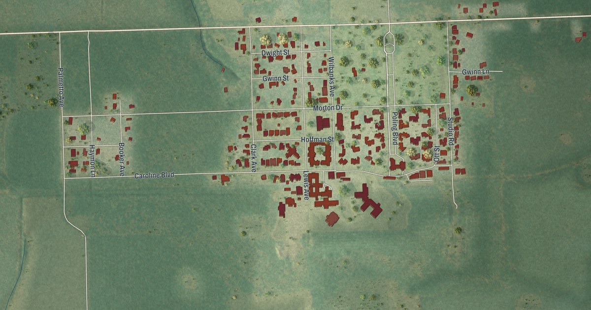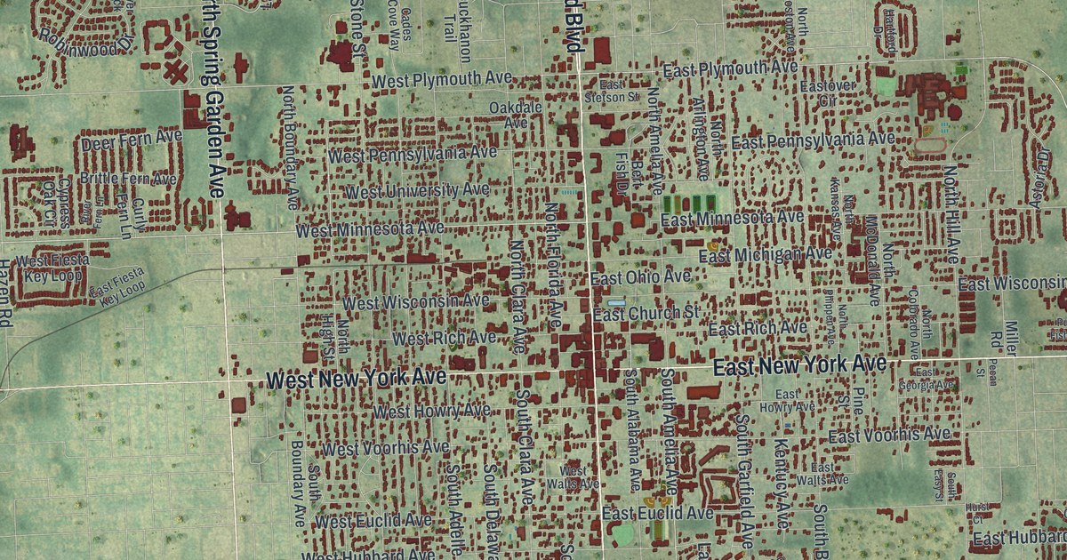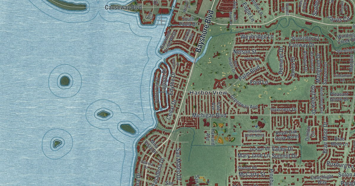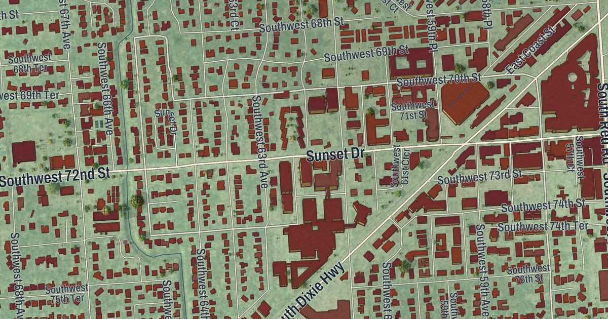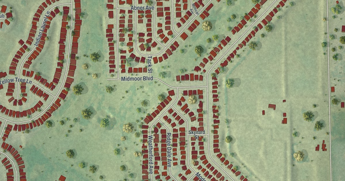
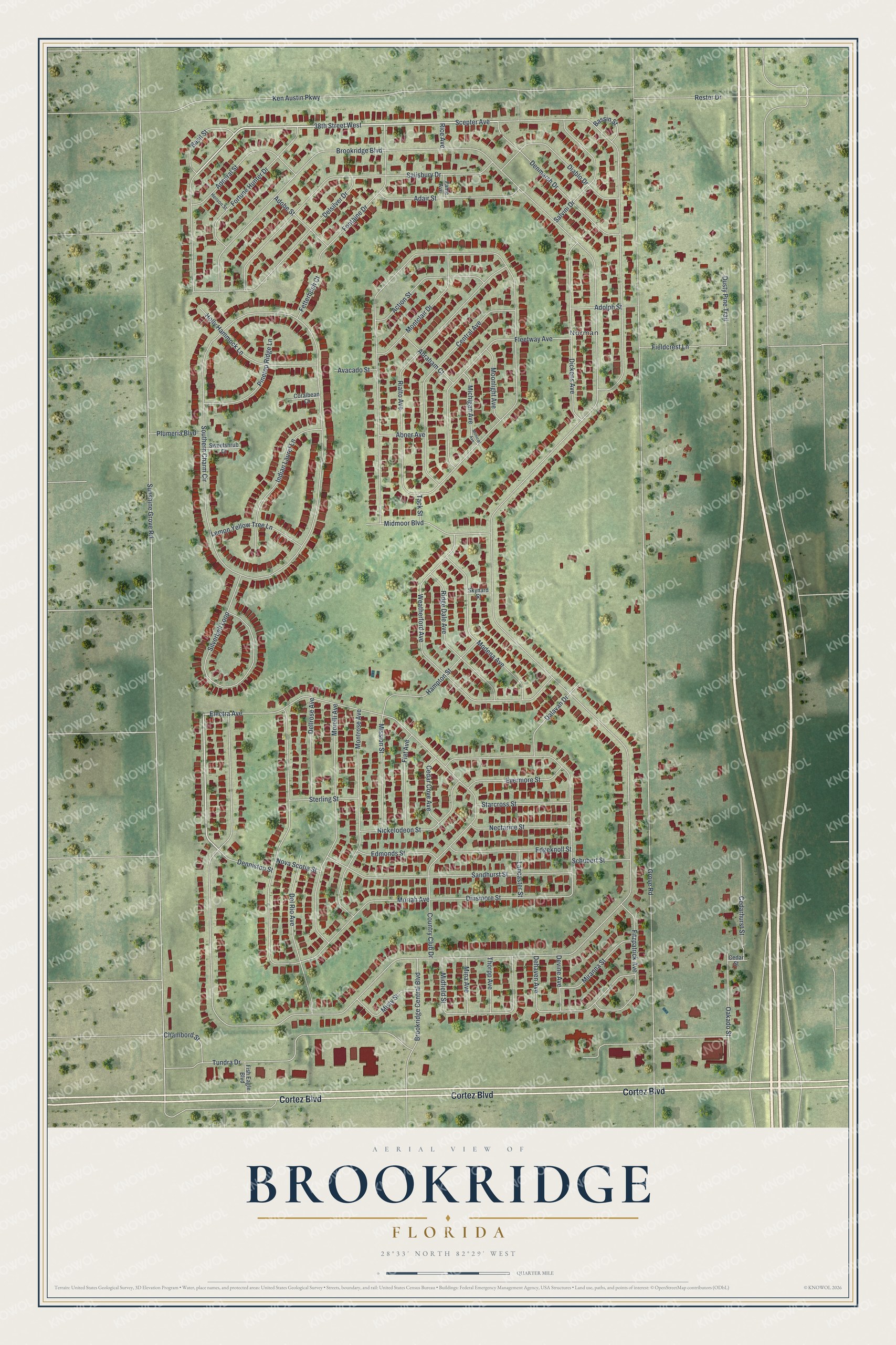
This beautifully detailed map of Brookridge, Florida was created in 2026 using aerial imagery combined with modern topographical, census, street and landmark data. It's a modern aerial view of Brookridge in Hernando County, Florida, that combines modern data with a vintage aesthetic. The roads feature printed names, and if you look closely you can find your exact house accurately shown in its correct location.
Explore an aerial view of Brookridge, Florida
On this map you'll find Norman, Cortez Boulevard, 38th Street West, Electra Avenue, Brookridge Boulevard, Grove Road, Sunshine Grove Road, Rialto Avenue, Scepter Avenue, Southern Charm Circle, Ken Austin Parkway, Country Club Drive, and more. Each red shape is a building, so zoom in on the preview and look for yours.
Brookridge is a community in Hernando County. The Census Bureau counted 4,658 people here in 2020. Brookridge sits about 2 miles west of Wiscon, 2 miles east of High Point and 4 miles northwest of South Brooksville. The map prints the town name in its title panel, with the coordinates below it.
Take a closer look at the Brookridge map
Names on this map
These names are printed on this map.
Places: Norman.
Streets and roads: Cortez Boulevard, 38th Street West, Electra Avenue, Brookridge Boulevard, Grove Road, Sunshine Grove Road, Rialto Avenue, Scepter Avenue, Southern Charm Circle, Ken Austin Parkway, Country Club Drive, Moriah Avenue.
More street names, A to Z
Abner Avenue, Abraham Court, Action Street, Adair Street, Admiral Street, Adobe Street, Adolph Street, Avacado Street, Basil Street, Bassin Street, Brookridge Central Boulevard, Cedar Cove Avenue, Cedarhurst Street, Cedar Street, Central Avenue, Chambord Street, Coralbean Court, Dalavan Drive, Dehaven Avenue, Dellrose Avenue, Del Rio Avenue, Delsilver Drive, Denmarsh Drive, Denniston Street, Devine Avenue, Diablo Drive, Dickens Avenue, Dinsmore Street, Dusty Pine Trail, Edgeknoll Street, Edmonds Street, Evermore Street, Fame Avenue, Fetterbush Court, Fiat Avenue, Fieldcrest Lane, Fish Eagle Boulevard, Fitzpatrick Avenue, Fleetway Avenue, Fontaine Drive, Fortune Hunter Drive, Hampton Street, Henson Street, Holly Hammock Lane, Indian Laurel Lane, Lancaster Street, Lemon Yellow Tree Lane, Michigan Avenue, Midfield Street, Midmoor Boulevard, Mina Avenue, Miranna Street, Mission Street, Misty Street, Modena Avenue, Mohican Avenue, Montclair Drive, Montrose Avenue, Moonlight Avenue, Morelli Avenue, Nectarine Street, Nickelodeon Street, Nova Scotia Street, Oakado Street, Pinetop Ridge Lane, Plumeria Boulevard, Rester Drive, Rice Avenue, Ridge Dale Avenue, Salisbury Drive, Salvini Drive, Sandhurst Street, Schubert Street, Silverbell Loop, Skynard Street, Starcross Street, Sterling Street, Sweetshrub Court, Tack Street, Thorpp Avenue, Tundra Drive, Weatherford Avenue.
See it on a wall
The Brookridge map as a framed print. Swipe for more.


Created by KNOWOL in 2026. The buildings are small red shapes, the roads carry their printed names, and shaded relief shows the shape of the land. The title panel reads "AERIAL VIEW OF BROOKRIDGE, FLORIDA" with 28°33' NORTH 82°29' WEST.
It suits a den, a classroom or a front hall, and it makes a gift for anyone with Brookridge roots. Open the preview and find the block you know. See sizes and frames for the Brookridge map.