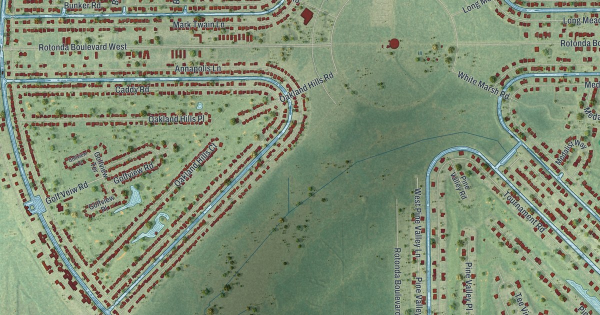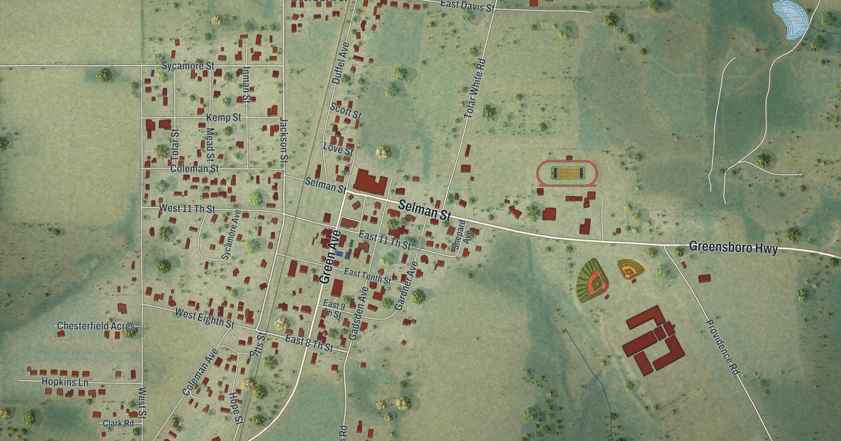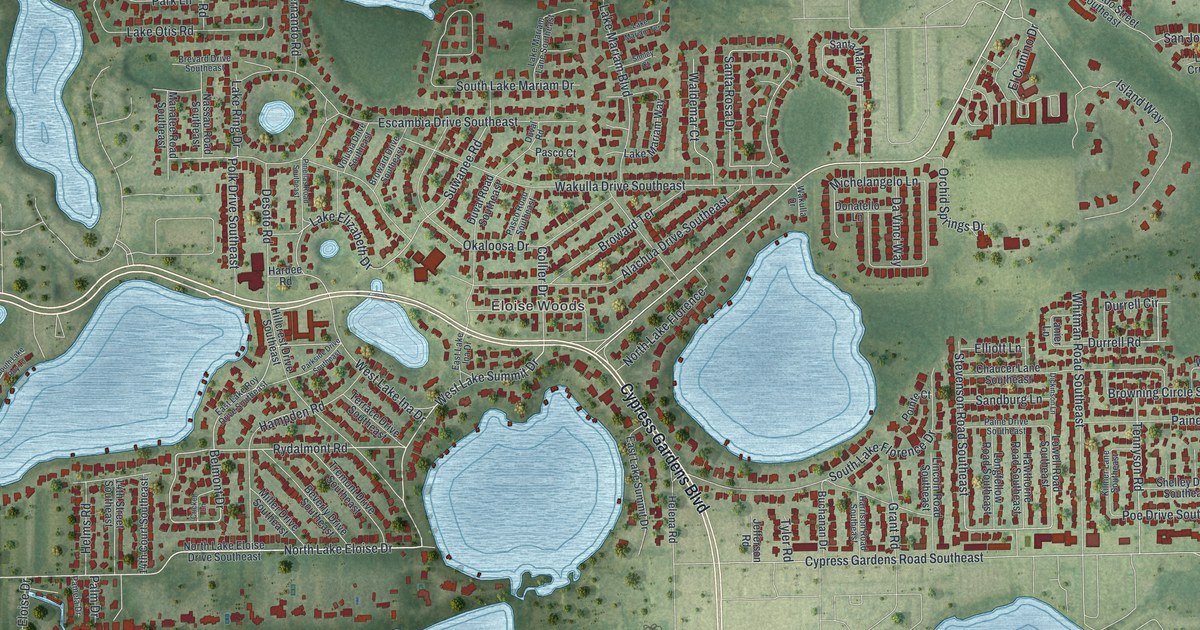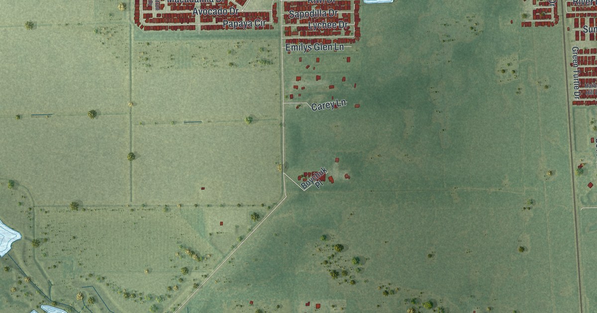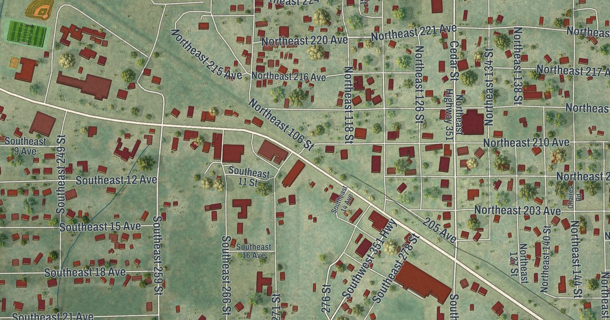
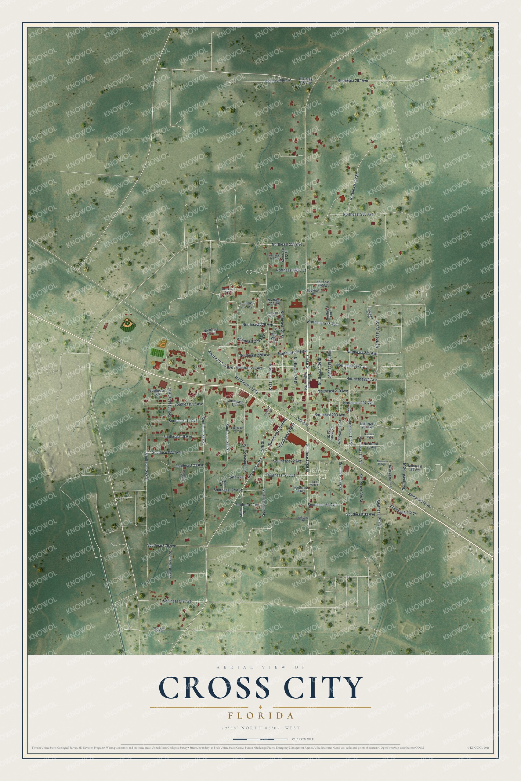
This beautifully detailed map of Cross City, Florida was created in 2026 using aerial imagery combined with modern topographical, census, street and landmark data. It’s a one-of-a-kind view of Cross City that combines accurate data with a vintage aesthetic. The map shows every building in its true location, many of the roads carry their names, and the shaded topographic relief shows the shape of the land.
Explore an aerial view of Cross City, Florida
On the map you’ll find Cross City Cemetery, along with Cedar Street, Southeast 289 Street, Southeast 259 Street, Northeast 220 Avenue, 276 Street, Northeast 152 Street, Northeast 222 Avenue, Northeast 297 Avenue, Horseshoe Road, Southwest 351 Highway, Southeast 242 Street, and more. If you look closely you can even find your house accurately drawn in its correct location. Zoom in on the preview to look for yours.
Did You Know?
In 1939 Cross City, the seat of Dixie County, lived on timber, turpentine and fishing. Its mills cut and dressed pine and cypress. A cold-storage plant shipped fresh and salt-water fish to northern markets. That included Florida catfish, which sold well up north but was not popular at home. That’s from the 1939 WPA guide to Florida.
Take a closer look at the Cross City map
Names on this map
These names are printed on this map.
Places: Cross City Cemetery.
Streets and roads: Cedar Street, Southeast 289 Street, Southeast 259 Street, Northeast 220 Avenue, 276 Street, Northeast 152 Street, Northeast 222 Avenue, Northeast 297 Avenue, Horseshoe Road, Southwest 351 Highway, Southeast 242 Street, Northeast 118 Street.
More street names, A to Z
24 Th Avenue, 24th Avenue, 205 Avenue, Beckham Avenue, Chaires Road, East Wade Street, Northeast 97 Street, Northeast 104 Street, Northeast 106 Street, Northeast 119 Street, Northeast 121 Street, Northeast 122 Street, Northeast 126 Street, Northeast 134 Street, Northeast 137 Street, Northeast 138 Street, Northeast 139 Street, Northeast 140 Street, Northeast 142 Street, Northeast 144 Street, Northeast 147 Street, Northeast 149 Street, Northeast 157 Street, Northeast 162 Street, Northeast 176 Avenue, Northeast 186 Avenue, Northeast 190 Avenue, Northeast 196 Avenue, Northeast 198 Avenue, Northeast 201 Avenue, Northeast 203 Avenue, Northeast 207 Avenue, Northeast 210 Avenue, Northeast 214 Avenue, Northeast 215 Avenue, Northeast 216 Avenue, Northeast 217 Avenue, Northeast 221 Avenue, Northeast 223 Avenue, Northeast 224 Avenue, Northeast 226 Avenue, Northeast 227 Avenue, Northeast 231 Avenue, Northeast 234 Avenue, Northeast 236 Avenue, Northeast 240 Avenue, Northeast 243 Avenue, Northeast 248 Avenue, Northeast 256 Avenue, Northeast 295 Avenue, Northeast 296 Avenue, Northeast Highway 351, Se270 Street, Southeast 9 Avenue, Southeast 11 Street, Southeast 12 Avenue, Southeast 14 Avenue, Southeast 15 Avenue, Southeast 16 Avenue, Southeast 18 Avenue, Southeast 21 Avenue, Southeast 22 Avenue, Southeast 23 Avenue, Southeast 25 Avenue, Southeast 27 Avenue, Southeast 28 Avenue, Southeast 29 Avenue, Southeast 32 Avenue, Southeast 33 Avenue, Southeast 39 Avenue, Southeast 49 Avenue, Southeast 56 Avenue, Southeast 243rd Street, Southeast 249 Street, Southeast 253 Street, Southeast 266 Street, Southeast 271 Street, Southeast 275 Street, Southeast 278 Street, Southeast 298 Street, Southeast 304 Street, Southeast 309 Street, Southeast 312 Street, Williams Road.
See it on a wall
The Cross City map as a framed print. Swipe for more.


This beautifully detailed map of Cross City makes an attractive addition to your office, library, or den, and it can even be used to teach children the geography and history of the area. It also makes a great gift for anyone who grew up in Cross City or moved away. When you’re done exploring, click here to get your copy of the Cross City map.