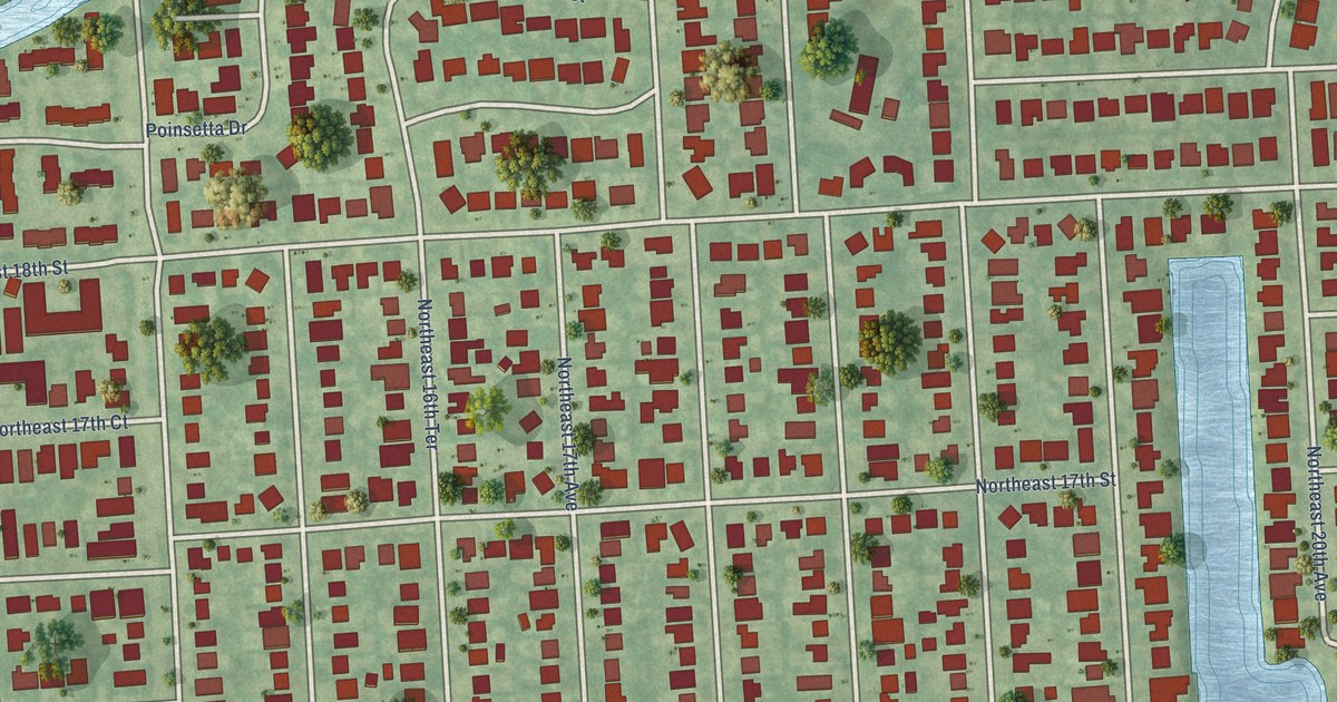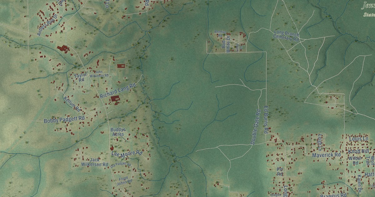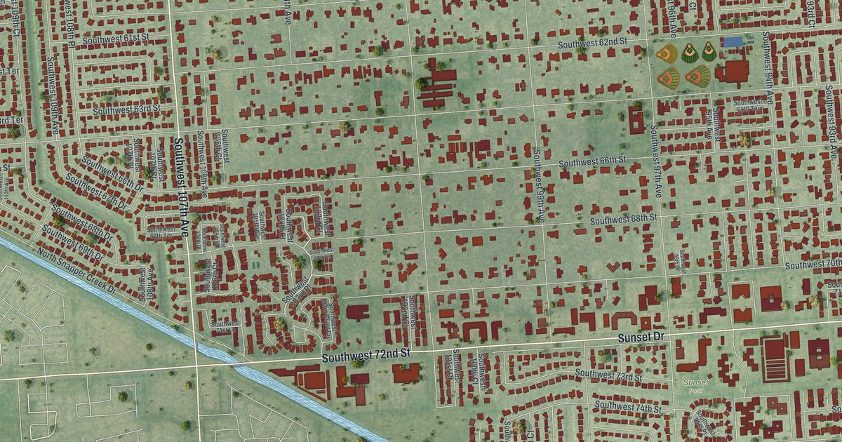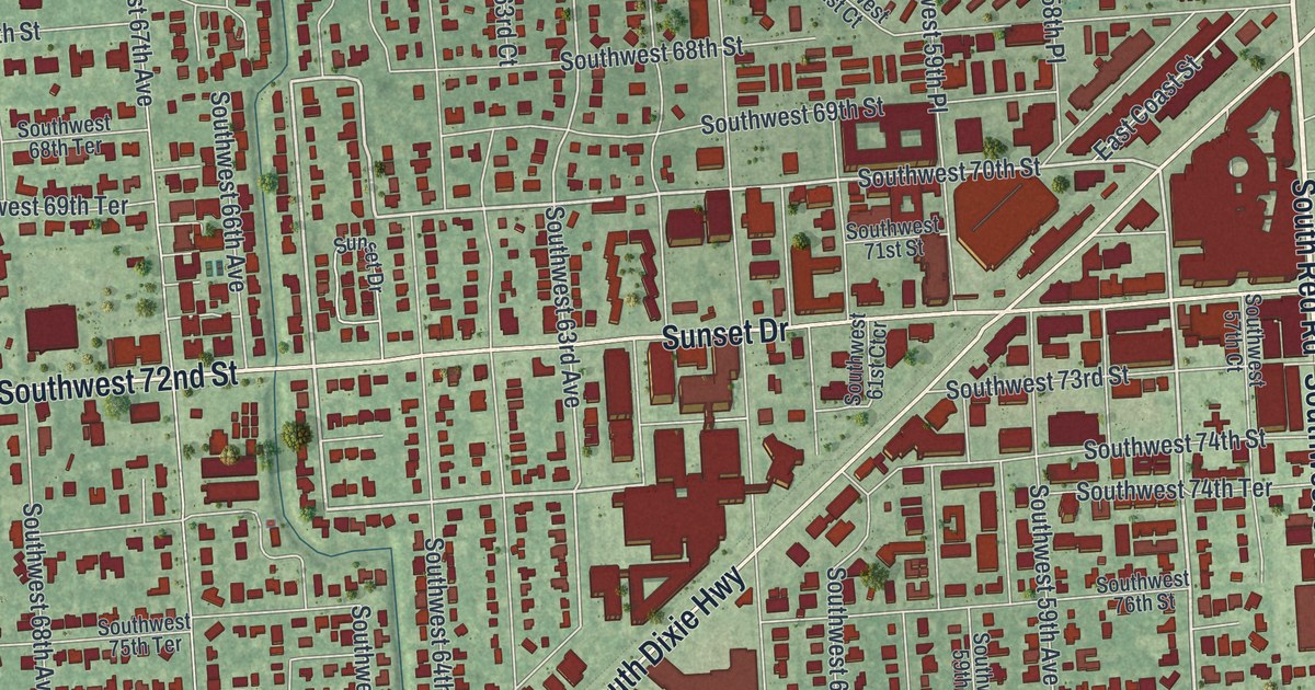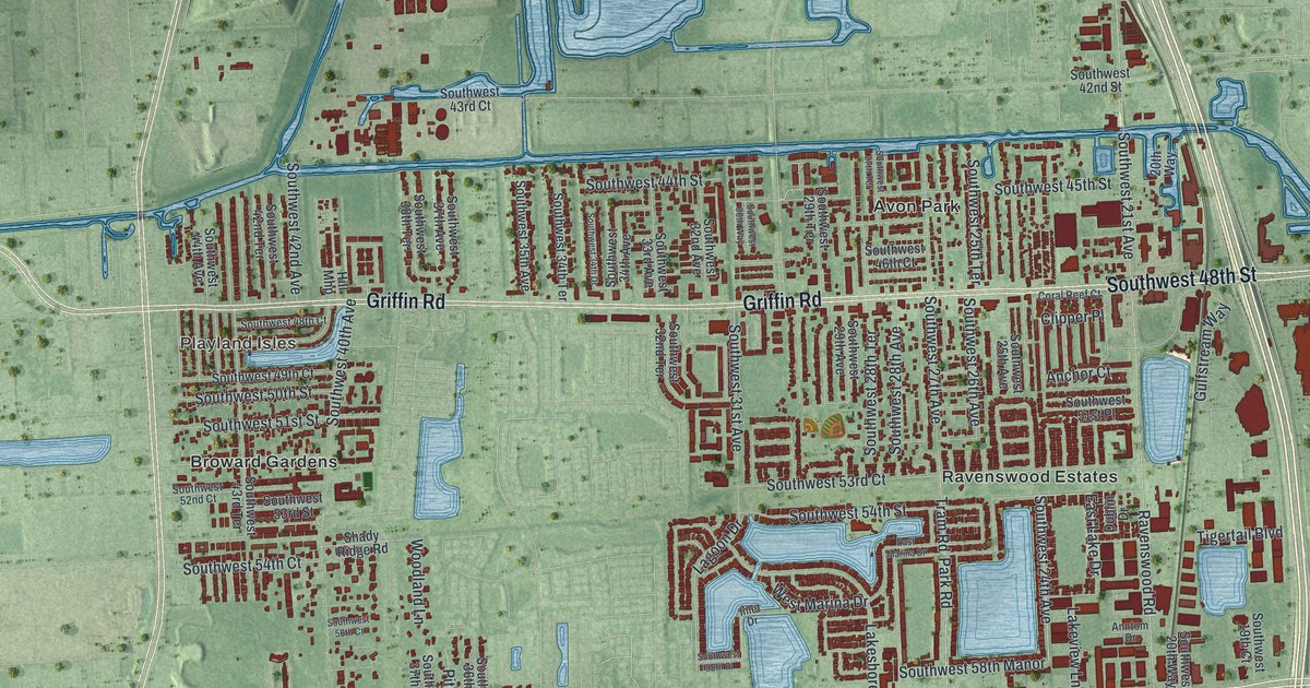
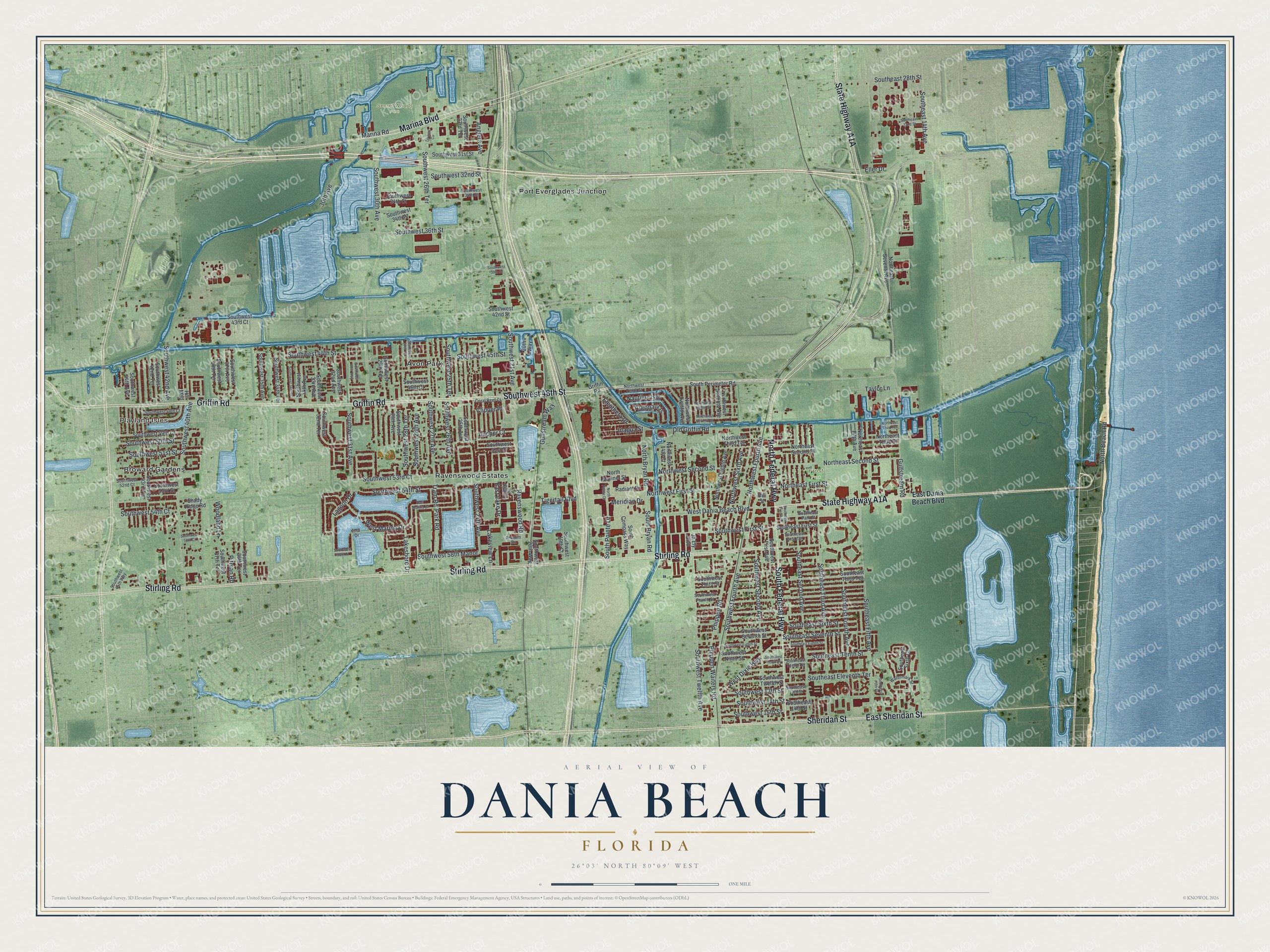
This beautifully detailed map of Dania Beach, Florida was created in 2026 using aerial imagery combined with modern topographical, census, street and landmark data. It’s a one-of-a-kind view of Dania Beach that combines accurate data with a vintage aesthetic. The map shows every building in its true location, many of the roads carry their names, and the shaded topographic relief shows the shape of the land.
Explore an aerial view of Dania Beach, Florida
On the map you’ll find Playland Isles, Secret Woods Park, Frost Park, Avon Park, Broward Gardens, Port Everglades Junction, and Ravenswood Estates, along with State Highway A1A, North Federal Highway, South Federal Highway, East Sheridan Street, Sheridan Street, and more. If you look closely you can even find your house accurately drawn in its correct location. Zoom in on the preview to look for yours.
Did You Know?
The town was incorporated in November 1904 as Dania, because most of its 35 residents were farmers of Danish descent. In 1926 it voted to join Hollywood. After the September 1926 Miami hurricane wrecked the fortunes of Hollywood, most of Dania broke away and became its own city.
Take a closer look at the Dania Beach map
Names on this map
These names are printed on this map.
Places: Playland Isles, Secret Woods Park, Frost Park, Avon Park, Broward Gardens, Port Everglades Junction and Ravenswood Estates.
Streets and roads: North Federal Highway, South Federal Highway, East Sheridan Street, Sheridan Street, Stirling Road, Griffin Road, Marina Boulevard, Southwest 48th Street, Eller Drive, West Dixie Highway, Lagoon Drive, Anchor Court.
More street names, A to Z
20th Way, 30th Avenue, Anglers Avenue, Anntom Drive, Argonaut Is, Clipper Place, Coral Reef Court, Dublin Drive, East Dania Beach Boulevard, East Lake Drive, East Marina Drive, Eleuthera Drive, Gulfstream Road, Gulfstream Way, Hill Mhp, Hill Street, Inagua Street, Inlet Drive, Ja Ely Boulevard, Lakeshore Drive, Lakeview Lane, Marina Road, Meridian Drive, Nautilus Isle, North Beach Road, North Bryan Road, Northeast Fifth Avenue, Northeast First Street, Northeast Second Place, Northeast Second Street, Northeast Seventh Avenue, Northeast Third Street, Northeast Third Terrace, North Mariner Street, North Pointe Drive, Northwest 14th Court, Northwest Eighth Avenue, Northwest Eighth Street, Northwest First Street, Northwest Fourth Avenue, Northwest Second Street, Northwest Seventh Avenue, Northwest Seventh Street, Northwest Sixth Avenue, Northwest Tenth Street, Northwest Third Terrace, Northwest Twelfth Avenue, Old Griffin Road, Park Road, Phippen Road, Phippen Waiters Road, Pitman Road, Radiant Drive, Ravenswood Road, Shady Ridge Road, South Bryan Road, South Compass Way, Southeast 13th Street, Southeast 14th Avenue, Southeast 14th Street, Southeast 28th Street, Southeast 32nd Street, Southeast Eighth Street, Southeast Eleventh Terrace, Southeast Fifth Avenue, Southeast Fifth Court, Southeast First Avenue, Southeast First Street, Southeast First Terrace, Southeast Fourth Avenue, Southeast Park Street, Southeast Second Avenue, Southeast Seventh Street, Southeast Sixth Court, Southeast Sixth Street, Southeast Tenth Street, Southeast Tenth Terrace, Southeast Third Avenue, Southeast Third Terrace, South Perimeter Road, South Pointe Drive, Southwest 13th Street, Southwest 14th Street, Southwest 15th Street, Southwest 19th Court, Southwest 20th Way, Southwest 21st Avenue, Southwest 23rd Terrace, Southwest 24th Avenue, Southwest 25th Avenue, Southwest 25th Terrace, Southwest 26th Avenue, Southwest 26th Terrace, Southwest 27th Avenue, Southwest 27th Terrace, Southwest 28th Avenue, Southwest 28th Terrace, Southwest 29th Avenue, Southwest 29th Terrace, Southwest 30th Avenue, Southwest 30th Way, Southwest 31st Avenue, Southwest 31st Street, Southwest 32nd Avenue, Southwest 32nd Street, Southwest 32nd Terrace, Southwest 33rd Avenue, Southwest 34th Avenue, Southwest 34th Court, Southwest 34th Drive, Southwest 34th Place, Southwest 34th Street, Southwest 34th Terrace, Southwest 35th Avenue, Southwest 36th Street, Southwest 36th Terrace, Southwest 37th Avenue, Southwest 37th Terrace, Southwest 38th Terrace, Southwest 39th Street, Southwest 40th Avenue, Southwest 42nd Avenue, Southwest 42nd Street, Southwest 42nd Terrace, Southwest 43rd Court, Southwest 43rd Terrace, Southwest 44th Avenue, Southwest 44th Street, Southwest 45th Street, Southwest 45th Way, Southwest 46th Court, Southwest 48th Court, Southwest 49th Court, Southwest 50th Street, Southwest 51st Place, Southwest 51st Street, Southwest 52nd Court, Southwest 53rd Court, Southwest 53rd Street, Southwest 54th Court, Southwest 54th Street, Southwest 56th Court, Southwest 58th Manor, Southwest 58th Place, Southwest Eighth Street, Southwest First Avenue, Southwest First Street, Southwest Fourth Avenue, Southwest Fourth Street, Southwest Ninth Street, Southwest Second Avenue, Southwest Seventh Street, Southwest Tenth Street, Southwest Third Street, Southwest Twelfth Avenue, Southwest Twelfth Street, Taylor Lane, Tigertail Boulevard, Tram Road, Trivium Circle, Watermark Street, West Dania Beach Boulevard, West Marina Drive, Woodland Lane.
See it on a wall
The Dania Beach map as a framed print. Swipe for more.


This beautifully detailed map of Dania Beach makes an attractive addition to your office, library, or den, and it can even be used to teach children the geography and history of the area. It also makes a great gift for anyone with Dania Beach roots. When you’re done exploring, click here to get your copy of the Dania Beach map.