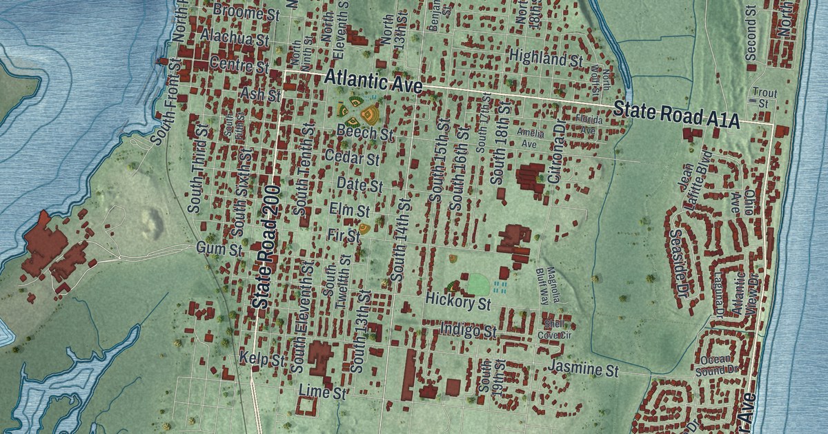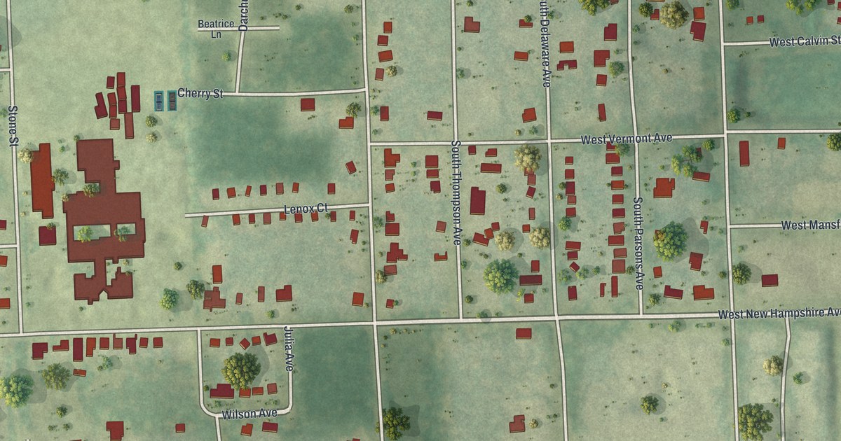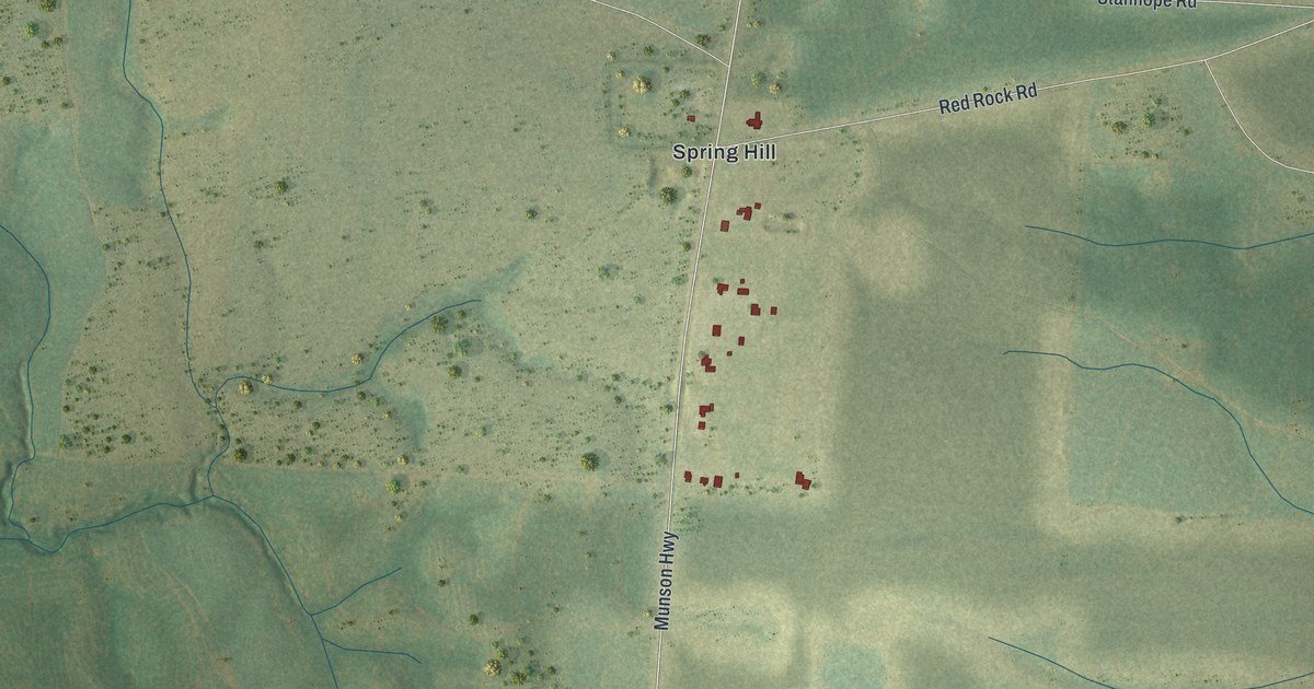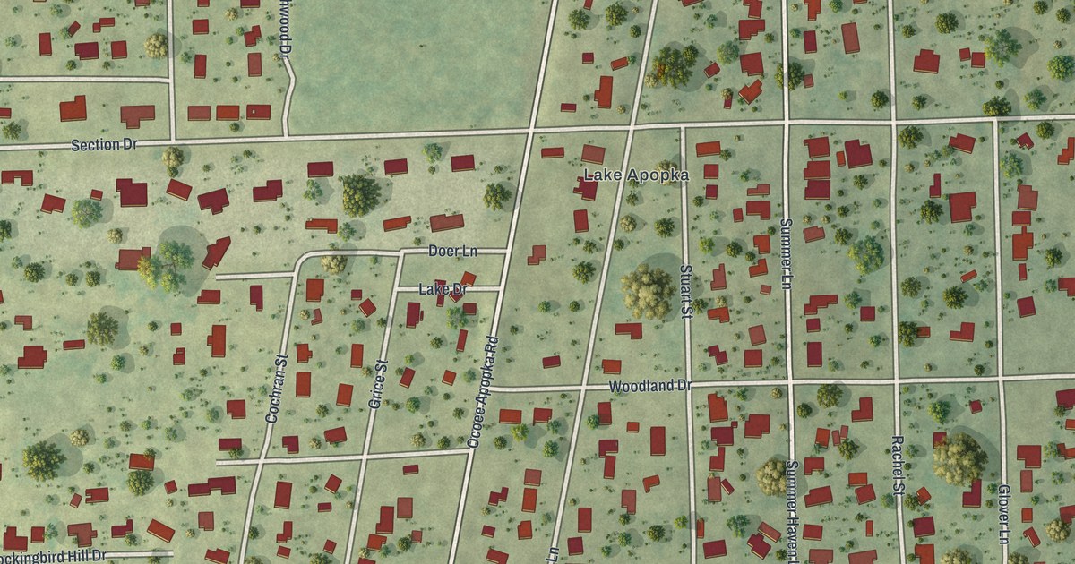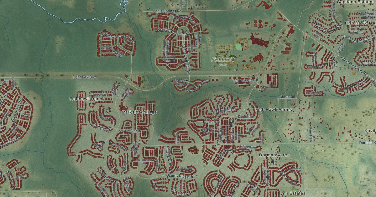
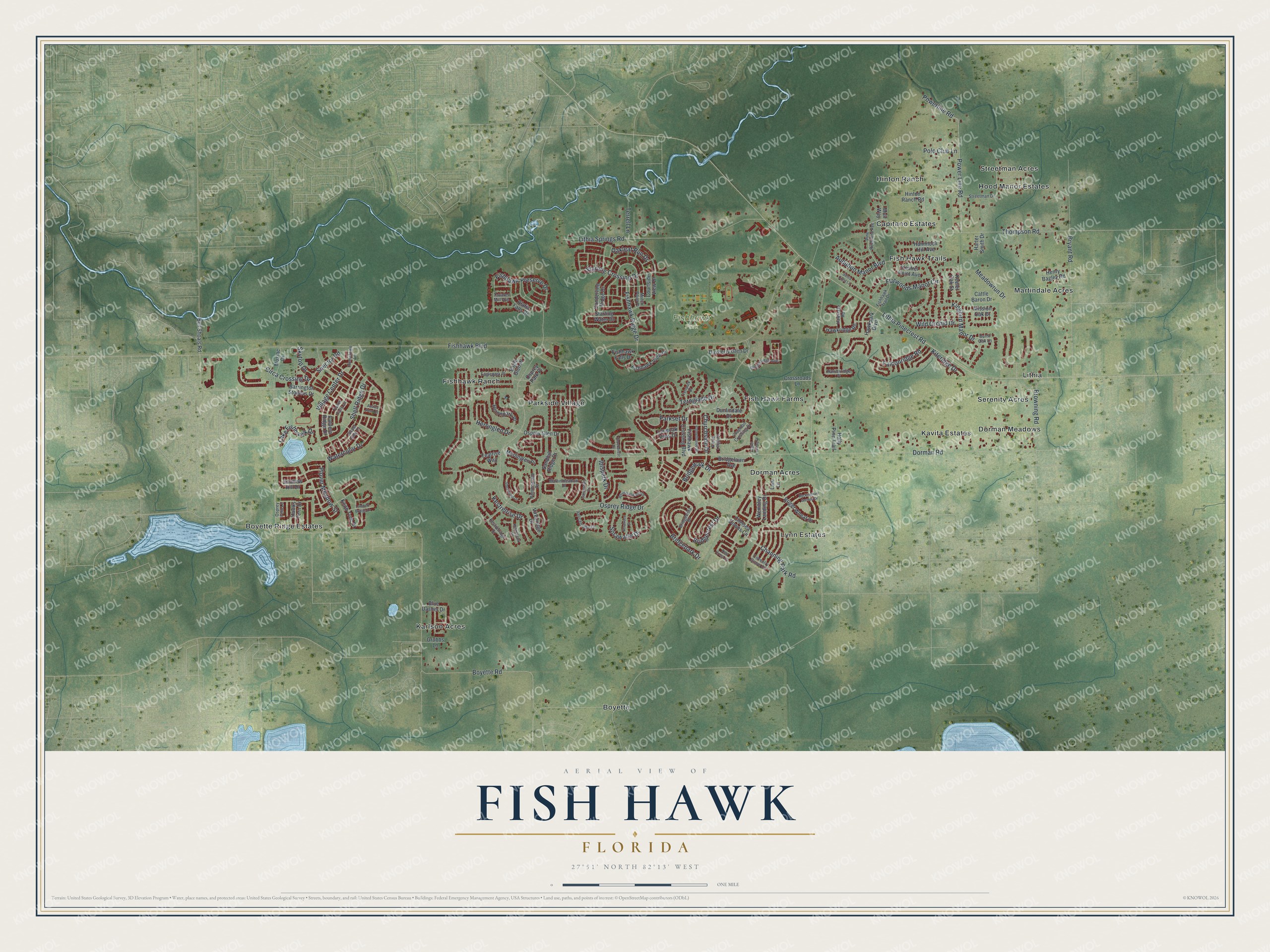
This beautifully detailed map of Fish Hawk, Florida was created in 2026 using aerial imagery combined with modern topographical, census, street and landmark data. It's a modern aerial view of Fish Hawk in Hillsborough County, Florida, that combines modern data with a vintage aesthetic. The roads feature printed names, and if you look closely you can find your exact house accurately shown in its correct location.
Explore an aerial view of Fish Hawk, Florida
On this map you'll find Fishhawk Park, Boyette Ridge Estates, Streetman Acres, Boyette, Serenity Acres, Fishhawk Ranch, Lynn Estates, Capitano Estates, Karlson Acres, Martindale Acres, Kavita Estates, Fish Hawk Farms, and more. Each red shape is a building, so zoom in on the preview and look for yours.
Fish Hawk has a story worth telling. FishHawk Ranch was founded by developer Glen Cross, an Air Force veteran born to a farming family in New Castle, Indiana. He and his partner Mandell Shimberg were original buyers of the land, and Glen and his wife Sandy made their own home in FishHawk Ranch. By 2012 the community had grown to 4,200 homes and more than 25 miles of walking trails. That's from the Osprey Observer.
Fish Hawk is a community in Hillsborough County. The Census Bureau counted 24,625 people here in 2020.
Take a closer look at the Fish Hawk map
Names on this map
These names are printed on this map.
Places: Fishhawk Park, Boyette Ridge Estates, Streetman Acres, Boyette, Serenity Acres, Fishhawk Ranch, Lynn Estates, Capitano Estates, Karlson Acres, Martindale Acres, Kavita Estates, Fish Hawk Farms, Parkside Village, Dorman Acres, Lithia, Hinton Ranch, Fish Hawk Trails, Dorman Meadows and Hood Manor Estates.
Streets and roads: Boyette Road, Fishhawk Boulevard, Dorman Road, Lithia Pinecrest Road, Osprey Ridge Drive, Bryant Road, Audubon Manor Boulevard, Lithia Springs Road, Watercolor Drive, Thompson Road, Heronglen Drive, Fishhawk Ridge Drive.
More street names, A to Z
Alafia Falls Drive, Alana Leigh Place, Avocetridge Drive, Azalea Pond Court, Barrington Stowers Drive, Bayberry Glen Drive, Bell Shoals Road, Blue Dasher Drive, Bridgecrest Drive, Bridgelawn Avenue, Bridgepark Drive, Bridgevista Drive, Bridgewalk Drive, Bright Wheat Drive, Browning Road, Buckingham Garden Drive, Burnt Oak Lane, Caldera Ridge Drive, Cattle Baron Drive, Channing Park Road, Chapman Crossing Drive, Chelsea Downs Circle, Churchside Drive, Circa Crossing Drive, Courtside View Drive, Coventry Grove Circle, Crossroads Lane, Dunlindale Drive, Eagle Glen Place, Eaglepark Place, Egret Landing Place, Esker Falls Lane, Falconridge Road, Fishhawk Crossing Boulevard, Fishhawk Falls Drive, Fishhawk Preserve Drive, Fishhawk Trail Drive, Fishhawk View Drive, Flatwoods Manor Circle, Gannetdale Drive, Grubbs Lane, Hammock Hill Avenue, Harrierridge Place, Harter Smith Drive, Hawklake Road, Hawkpark Boulevard, Hawkridge Road, Hawks Fern Drive, Henry Bagley Road, Heronpark Place, Hinton Ranch Road, Holly Pine Trail, Hometown Lane, Ibispark Drive, Jasper Glen Drive, Keeler Oak Street, Kestrelpark Drive, Kestrel Point Avenue, Kestrelridge Drive, Kestrelrise Drive, Kingbird Manor Drive, Kingletridge Avenue, Kiteridge Drive, Knob Tree Drive, Lake Fishhawk Drive, Lambert Bridge Lane, Lani Lane, Loneoak View Drive, Martinmeadow Drive, Match Point Place, Meadowrun Drive, Merlinglen Place, Mission Oak Drive, Mosiac Drive, Muir Way, New Cross Circle, Oakleaf Run Drive, Osprey Fern Lane, Osprey Glen Drive, Osprey Park Place, Palmettoside Street, Palomaglade Drive, Parkset Drive, Phoebenest Drive, Pine Rockland Avenue, Plover Meadow Street, Polo Club Lane, Power Line Road, Powerline Road, Sanderling Ridge Drive, Sandhill Ridge Drive, Shearcrest Drive, Shell Ridge Drive, Sierra Crest Lane, Skytop Drive, Soratrace Street, Sorawater Drive, Spector Road, Starling Crossing Drive, Starling Water Drive, Streetman Drive, Swallow Hill Drive, Tavares Mill Avenue, Tealrise Way, Ternglade Drive, Ternpark Drive, Terrell Lane, Village Center Drive, Vireoridge Drive, Wembley Landing Drive, Whimbrelwood Drive, Wild Orchid Drive.
See it on a wall
The Fish Hawk map as a framed print. Swipe for more.


Created by KNOWOL in 2026. The buildings are small red shapes, the roads carry their printed names, and shaded relief shows the shape of the land. The title panel reads "AERIAL VIEW OF FISH HAWK, FLORIDA" with 27°51' NORTH 82°13' WEST.
It looks right in a kitchen, an office or a den, and it's a gift for anyone who grew up in Fish Hawk or moved away. Open the preview and find your street. See sizes and frames for the Fish Hawk map.