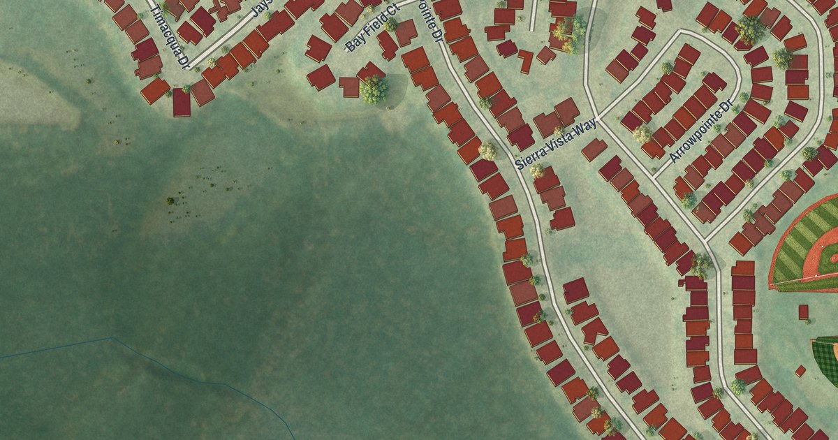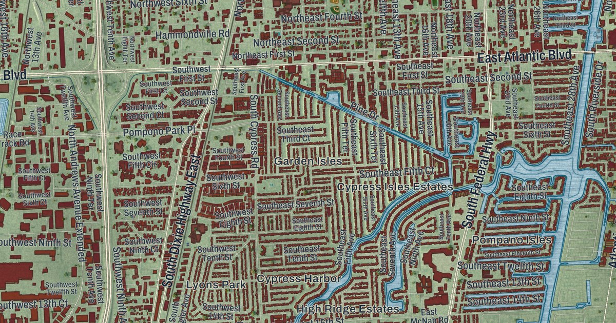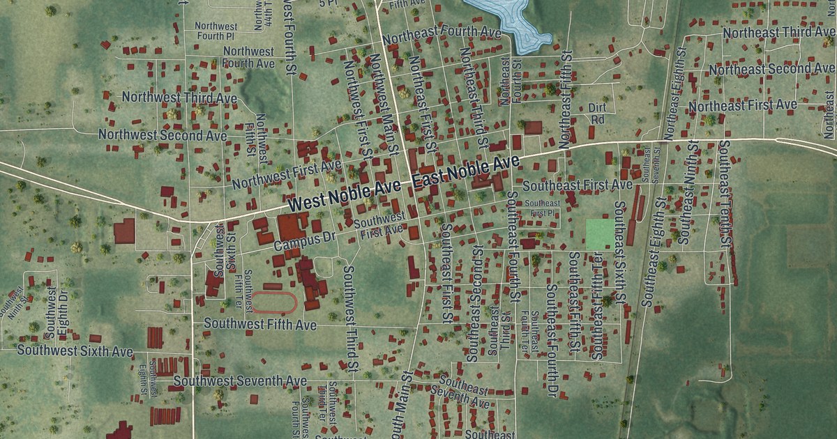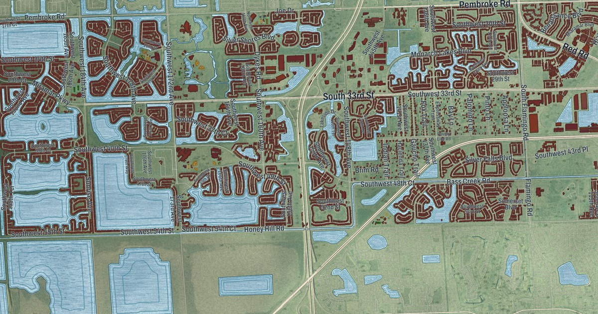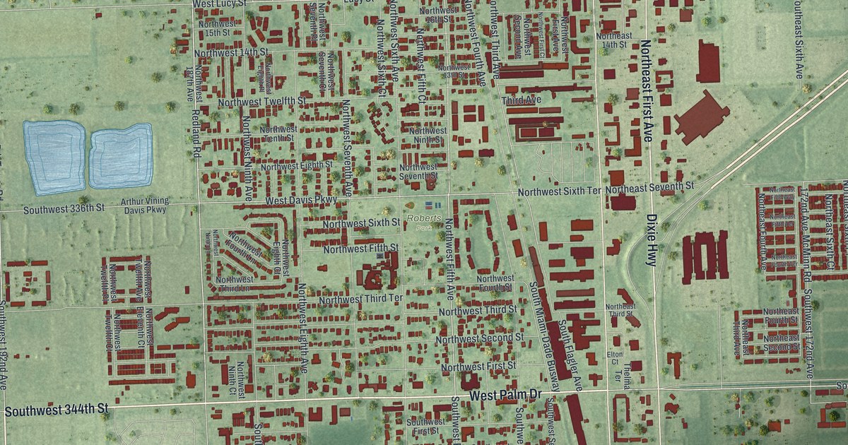
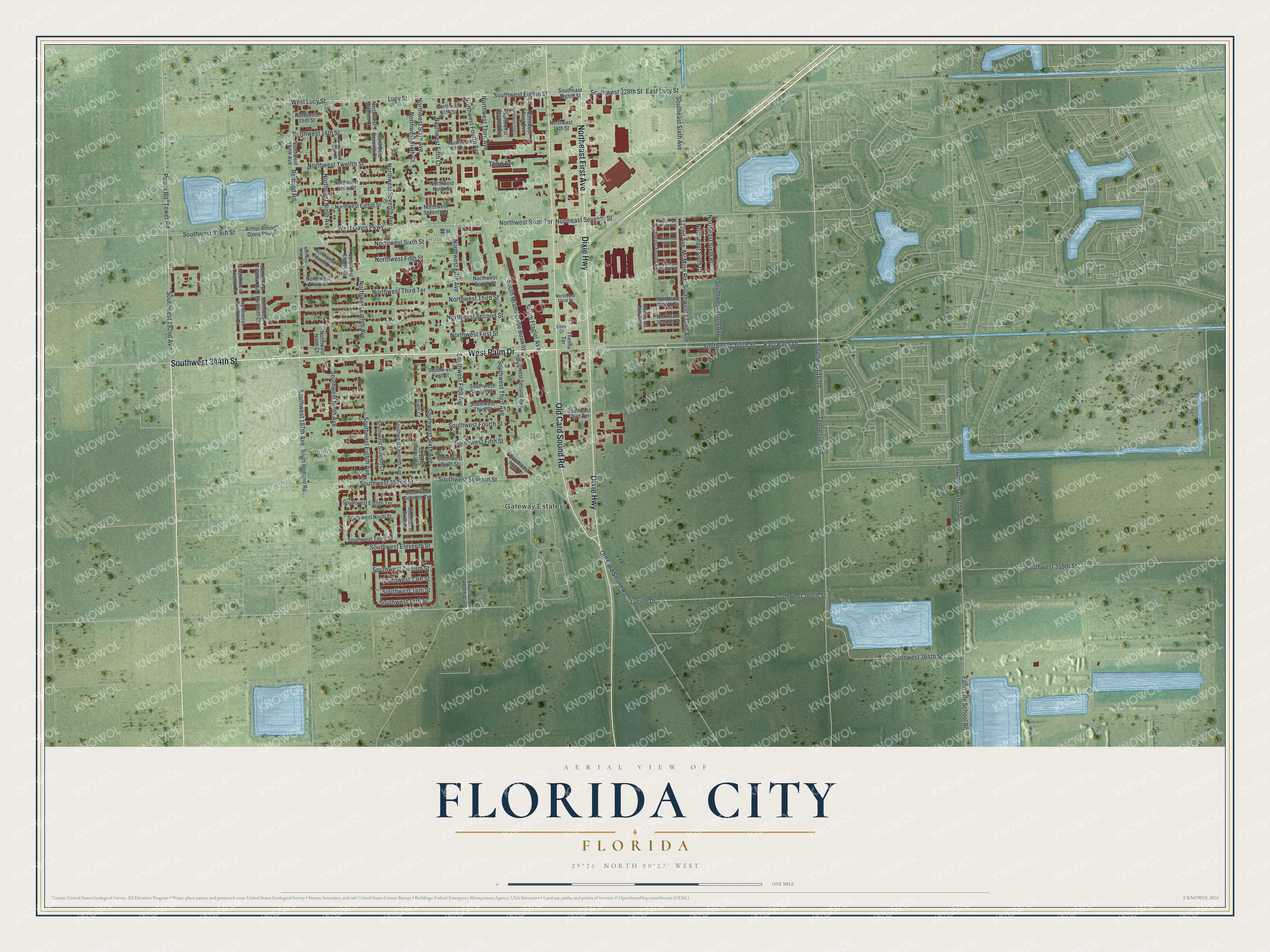
This beautifully detailed map of Florida City, Florida was created in 2026 using aerial imagery combined with modern topographical, census, street and landmark data. It’s a one-of-a-kind view of Florida City that combines accurate data with a vintage aesthetic. The map shows every building in its true location, many of the roads carry their names, and the shaded topographic relief shows the shape of the land.
Explore an aerial view of Florida City, Florida
On the map you’ll find Fasulo Park, Roberts Park, and Gateway Estates, along with West Palm Drive, Southwest 344th Street, Northeast First Avenue, Dixie Highway, Old Card Sound Road, East Palm Drive, Northwest Fifth Avenue, Redland Road, West Lucy Street, and more. If you look closely you can even find your house accurately drawn in its correct location. Zoom in on the preview to look for yours.
Did You Know?
Florida City began as a land promotion called Detroit. When the first thirty families arrived in 1910, there were no buildings yet. They stayed in Homestead until their houses were built. The town took the name Florida City when it incorporated in 1914.
Take a closer look at the Florida City map
Names on this map
These names are printed on this map.
Places: Fasulo Park, Roberts Park and Gateway Estates.
Streets and roads: West Palm Drive, Southwest 344th Street, Northeast First Avenue, Dixie Highway, Old Card Sound Road, East Palm Drive, Northwest Fifth Avenue, Redland Road, West Lucy Street, Southwest Fifth Avenue, Lucy Street, Southwest 192nd Avenue.
More street names, A to Z
172nd Avenue, Arthur Vining Davis Parkway, East Lucy Street, Elton Court, Farm Life School Road, Lucille Drive, McMinn Road, Northeast 14th Street, Northeast Fifth Terrace, Northeast Fifth Way, Northeast Fourth Avenue, Northeast Fourth Street, Northeast Fourth Terrace, Northeast Second Street, Northeast Seventh Street, Northeast Sixth Court, Northeast Sixth Place, Northeast Third Avenue, Northeast Third Street, Northwest 13th Street, Northwest 14th Street, Northwest 15th Street, Northwest 16th Street, Northwest 187th Avenue, Northwest Eighth Avenue, Northwest Eighth Court, Northwest Eighth Place, Northwest Eighth Street, Northwest Eleventh Court, Northwest Fifth Court, Northwest Fifth Street, Northwest First Avenue, Northwest First Court, Northwest First Street, Northwest Fourth Avenue, Northwest Fourth Lane, Northwest Fourth Street, Northwest Ninth Avenue, Northwest Ninth Court, Northwest Ninth Lane, Northwest Ninth Street, Northwest Second Avenue, Northwest Second Street, Northwest Seventh Avenue, Northwest Seventh Court, Northwest Seventh Place, Northwest Seventh Street, Northwest Sixth Avenue, Northwest Sixth Court, Northwest Sixth Street, Northwest Sixth Terrace, Northwest Tenth Street, Northwest Third Avenue, Northwest Third Lane, Northwest Third Street, Northwest Third Terrace, Northwest Twelfth Avenue, Northwest Twelfth Court, Northwest Twelfth Place, Northwest Twelfth Street, Power Road, Sixth Court, Southeast Eighth Street, Southeast Sixth Avenue, Southeast Third Terrace, South Flagler Avenue, South Miami-Dade Busway, South Redland Road, Southwest 13th Street, Southwest 14th Street, Southwest 15th Street, Southwest 162nd Street, Southwest 167th, Southwest 170th Avenue, Southwest 172nd Avenue, Southwest 180th Avenue, Southwest 187th Avenue, Southwest 328th Street, Southwest 336th Street, Southwest 352nd Street, Southwest 359th Street, Southwest 360th Street, Southwest 364th Street, Southwest Eighth Avenue, Southwest Eighth Street, Southwest Eighth Terrace, Southwest Eleventh Street, Southwest Fifth Street, Southwest First Street, Southwest Fourth Street, Southwest Ninth Avenue, Southwest Ninth Street, Southwest Second Avenue, Southwest Second Street, Southwest Seventh Avenue, Southwest Seventh Court, Southwest Seventh Street, Southwest Seventh Terrace, Southwest Sixth Avenue, Southwest Sixth Court, Southwest Sixth Place, Southwest Sixth Street, Southwest Tenth Street, Southwest Third Avenue, Southwest Third Court, Southwest Third Street, Southwest Twelfth Street, Tennessee Road, Thelma Terrace, Third Avenue, Tower Road, West Davis Parkway.
See it on a wall
The Florida City map as a framed print. Swipe for more.


This beautifully detailed map of Florida City makes an attractive addition to your office, library, or den, and it can even be used to teach children the geography and history of the area. It also makes a great gift for anyone who grew up in Florida City or moved away. When you’re done exploring, click here to get your copy of the Florida City map.