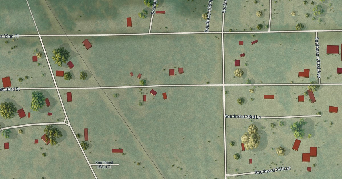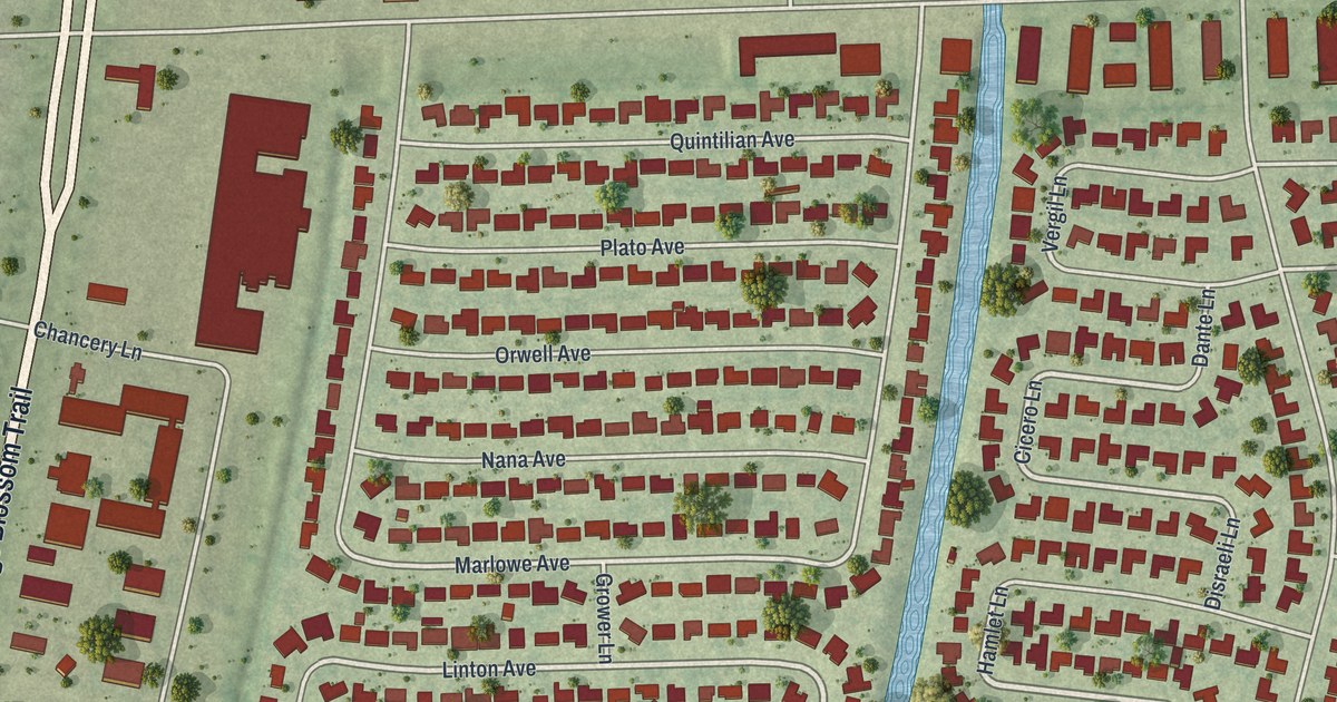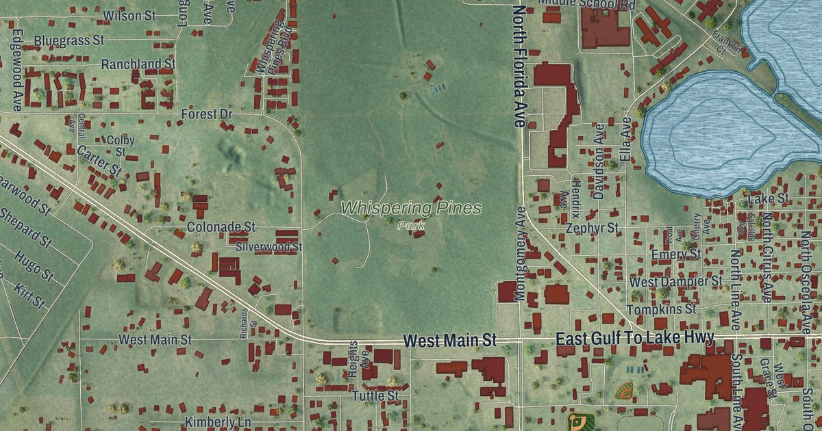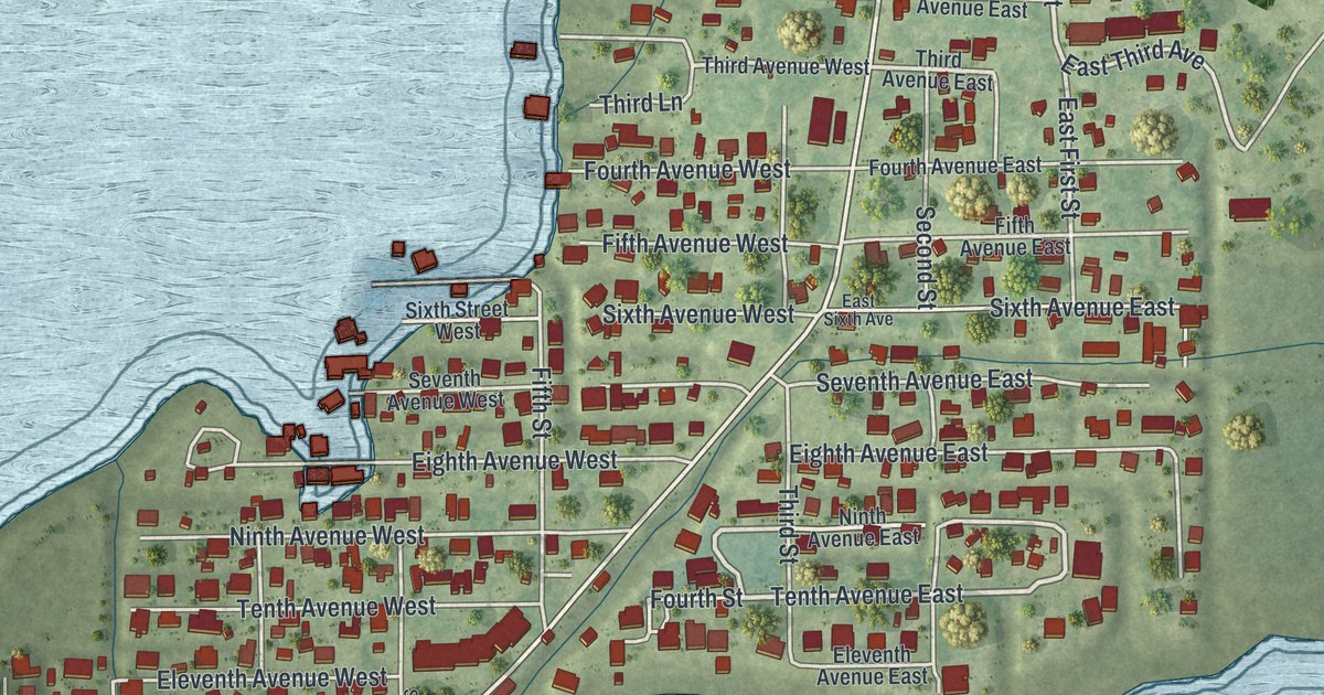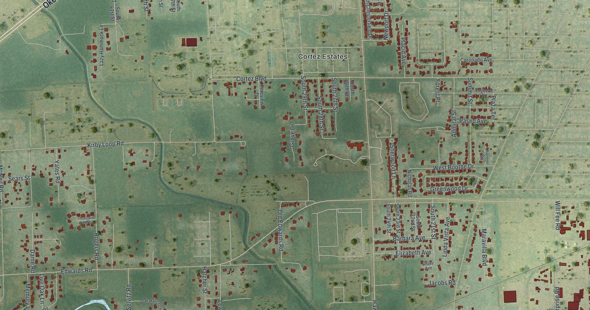
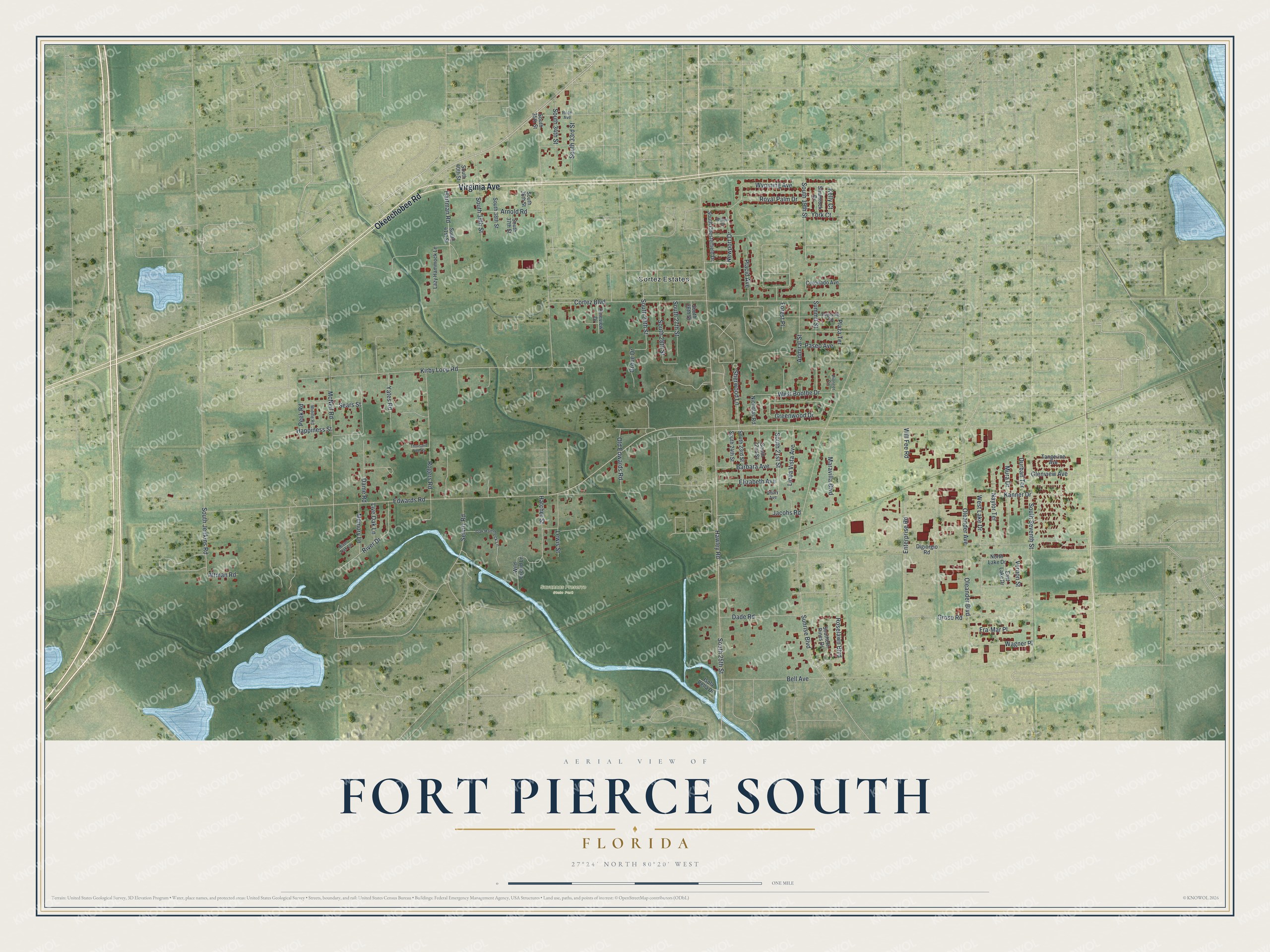
This beautifully detailed map of Fort Pierce South, Florida was created in 2026 using aerial imagery combined with modern topographical, census, street and landmark data. It's a modern aerial view of Fort Pierce South in St. Lucie County, Florida, that combines modern data with a vintage aesthetic. The roads feature printed names, and if you look closely you can find your exact house accurately shown in its correct location.
Explore an aerial view of Fort Pierce South, Florida
On this map you'll find Savannas Preserve State Park, Cortez Estates, Virginia Avenue, Okeechobee Road, South 19th Street, South 21st Street, South 25th Street, Old Edwards Road, Edwards Road, Cortez Boulevard, Hawley Road, Oleander Avenue, and more. Each red shape is a building, so zoom in on the preview and look for yours.
Fort Pierce South is a community in St. Lucie County. The Census Bureau counted 5,209 people here in 2020. Fort Pierce South sits about 3 miles north of White City, 5 miles south of Fort Pierce North and 5 miles northwest of Indian River Estates. The map prints the town name in its title panel, with the coordinates below it.
Take a closer look at the Fort Pierce South map
Names on this map
These names are printed on this map.
Places: Savannas Preserve State Park and Cortez Estates.
Streets and roads: Virginia Avenue, Okeechobee Road, South 19th Street, South 21st Street, South 25th Street, Old Edwards Road, Edwards Road, Cortez Boulevard, Hawley Road, Oleander Avenue, Oleander Boulevard, South Seventh Street.
More street names, A to Z
Admiral Street, Altman Road, Arnold Road, Barbara Avenue, Bell Avenue, Coronado Avenue, Dade Road, Dame Road, Digiorgio Road, Durban Terrace, East Lake Drive, Edgevale Road, Elizabeth Avenue, Enterprise Road, Forest Place, Fra-Mar Place, Glenview Avenue, Greenwood Drive, Grose Road, Grove Drive, Happiness Street, Hartman Road, Hatcher Street, Isola Bella Drive, Jacobs Road, Kanner Drive, Kelly Court, Kirby Loop Road, Lazy Hammock Lane, Lewis Street, Linda Vista Avenue, Live Oak Lane, Maravilla Boulevard, McNeil Road, Melon Court, Memory Lane, Middle Road, Mura Drive, Naylor Terrace, Newport Drive, Nicholas Road, North Lake Drive, Oak Hammock Lane, Paseo Avenue, Peek Road, Pineview Drive, Pioneer Circle, Placid Avenue, Plaza Terrace, River Drive, River Oak Lane, Rogers Road, Rose Avenue, Roselawn Boulevard, Royal Palm Drive, Sears Street, Selvitz Road, Shamrock Drive, Sherwood Lane, Sibley Avenue, South 22nd Street, South 23rd Street, South 24th Street, South 26th Street, South 27th Street, South 28th Street, South 29th Street, South 33rd Street, South 34th Street, South 35th Street, South 36th Street, South 37th Street, South 38th Street, South 39th Street, South 40th Street, South 41st Street, South Chesterfield Drive, Southern Pines Drive, South Jenkins Road, Summit Street, Sunrise Boulevard, Tangerine Avenue, Thousand Pines Drive, Vernon Street, Wagner Place, West Boothe Drive, West Lake Drive, Wild Orchid Lane, Will Fee Road, Wyoming Avenue, Yates Road, York Court.
See it on a wall
The Fort Pierce South map as a framed print. Swipe for more.


Created by KNOWOL in 2026. The buildings are small red shapes, the roads carry their printed names, and shaded relief shows the shape of the land. The title panel reads "AERIAL VIEW OF FORT PIERCE SOUTH, FLORIDA" with 27°24' NORTH 80°20' WEST.
It looks right in a kitchen, an office or a den, and it's a gift for anyone who grew up in Fort Pierce South or moved away. Open the preview and find your street. See sizes and frames for the Fort Pierce South map.