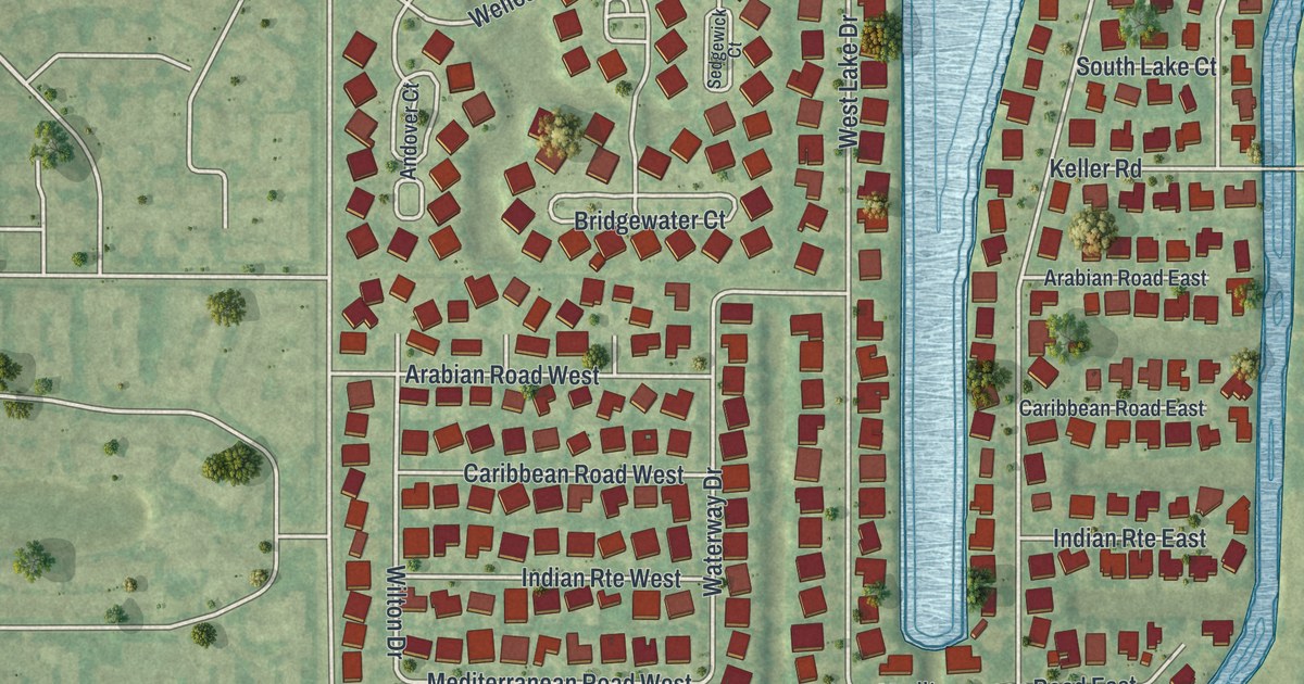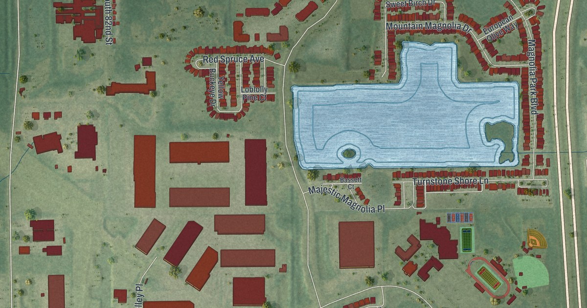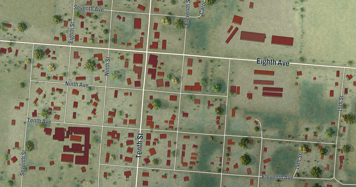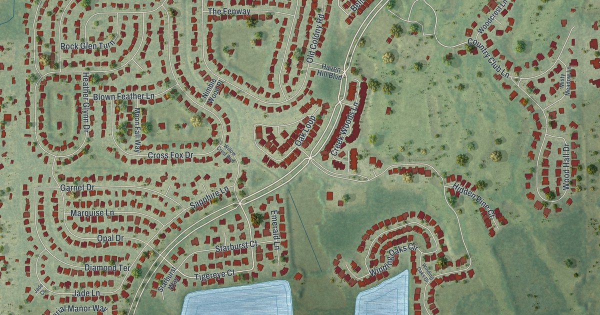
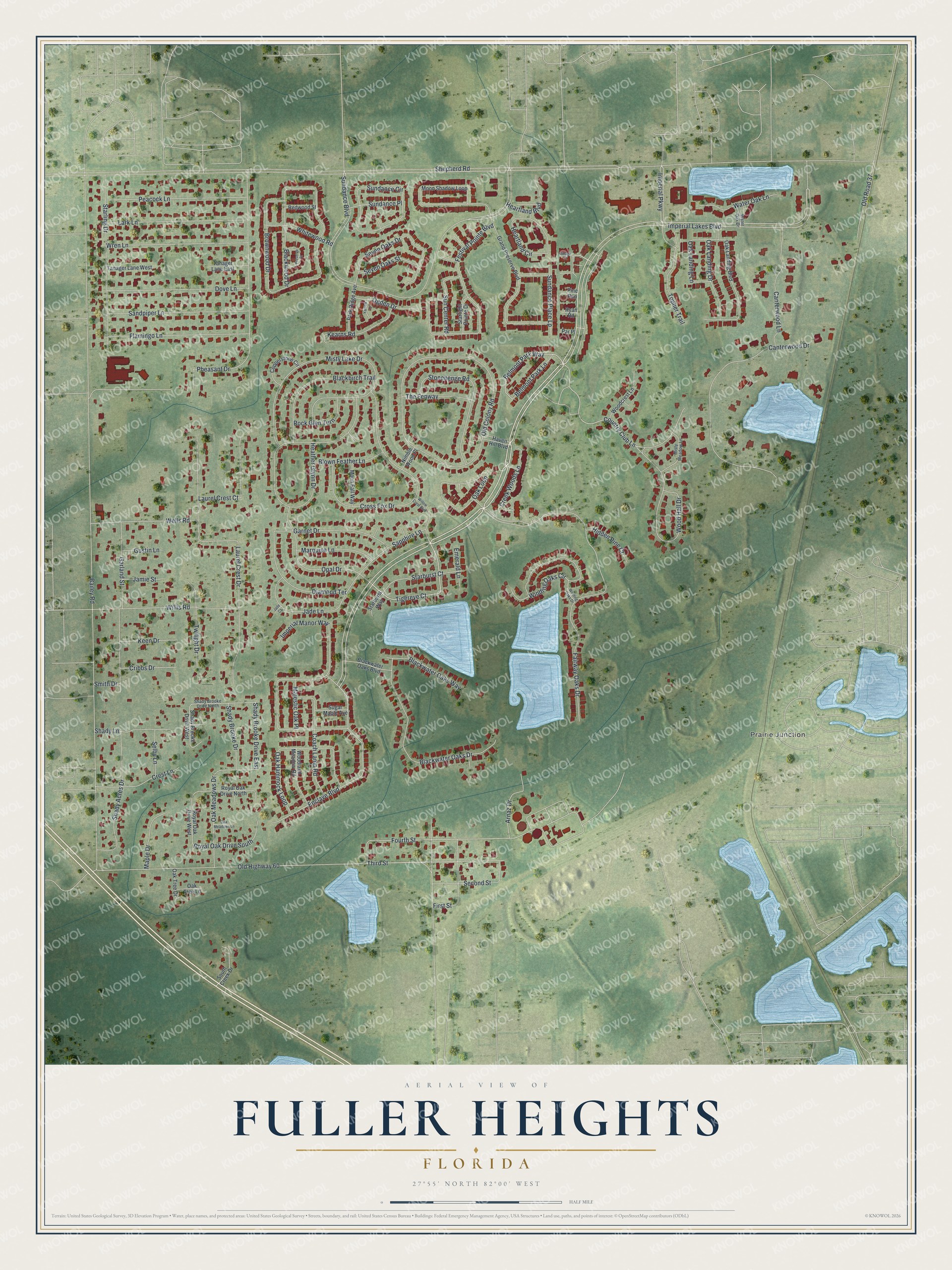
This beautifully detailed map of Fuller Heights, Florida was created in 2026 using aerial imagery combined with modern topographical, census, street and landmark data. It's a modern aerial view of Fuller Heights in Polk County, Florida, that combines modern data with a vintage aesthetic. The roads feature printed names, and if you look closely you can find your exact house accurately shown in its correct location.
Explore an aerial view of Fuller Heights, Florida
On this map you'll find Prairie Junction, Imperial Lakes Boulevard, Tigereye Court, Enclave Boulevard, Belmont Park Way, Country Club Lane, Fourth Street, Sundance Boulevard, Shepherd Road, Bailey Road, Old Highway 60, Fairway Oaks Drive, and more. Each red shape is a building, so zoom in on the preview and look for yours.
Fuller Heights is a community in Polk County. The Census Bureau counted 10,467 people here in 2020. The map prints the town name in its title panel, with the coordinates below it.
Take a closer look at the Fuller Heights map
Names on this map
These names are printed on this map.
Places: Prairie Junction.
Streets and roads: Imperial Lakes Boulevard, Tigereye Court, Enclave Boulevard, Belmont Park Way, Country Club Lane, Fourth Street, Sundance Boulevard, Shady Brooke Drive East, Shepherd Road, Bailey Road, Old Highway 60, Fairway Oaks Drive.
More street names, A to Z
Arnaz Drive, Belmont Park Lane, Blackbirch Trail, Blackwater Oaks Boulevard, Blackwater Oaks Drive, Blackwater Oaks Way, Blackwood Drive, Blown Feather Lane, Brownwood Drive, Canterwood Drive, Canterwood Lane, Coach Lamp Road, Copperstone Circle, Creek Woods Lane, Crest Lane, Cribbs Drive, Cross Fox Drive, Diamond Terrace, Dove Lane, Emerald Lane, Festival Pointe Boulevard, First Street, Flamingo Lane, Garland Street, Garnet Drive, Grand Preserve Boulevard, Gustin Lane, Haven Hill Boulevard, Heartland Boulevard, Heartland Circle, Heather Glynn Drive, Hidden Pine Court, Imperial Manor Way, Imperial Parkway, Jade Court, Jade Lane, Jamie Street, Kearns Road, Keen Drive, Lark Lane, Laurel Crest Court, Laurel Crest Drive, Majestic Oak Place, Maple Drive, Marquise Lane, Misty Lake Drive, Misty Meadow Lane, Moon Fall Way, Moon Shadow Loop, Nimble Wood Place, Oak Hammock Loop, Oak Landing Boulevard, Oak Landing Drive, Oak Landing Lane, Oak Loop, Oak Meadows Drive, Oak Meadows Lane, Oak Tree Drive, Oak Tree Lane, Ogden Drive, Old Colony Road, Old Road 37, Opal Drive, Park Ridge Avenue, Par Place, Peacock Lane, Pheasant Drive, Pine Run, Preserve Court, Redwood Street, Rock Glen Turn, Royal Oak Drive North, Royal Oak Drive South, Royal Oak Drive West, Ryan Road, Sandpiper Lane, Sapphire Lane, Second Street, Selby Lane, Seven Oaks Drive, Seven Oaks Street, Shady Acres Drive, Shady Brooke Drive, Shady Brooke Drive North, Shady Brooke Drive West, Shady Lane, Smith Drive, South Creek Drive, Starburst Court, Starburst Way, Starlight Pointe Drive, Starling Drive, Stonehenge Road, Sugar Maple Avenue, Sun Center Road, Sundance Circle, Sundance Place, Sundance Place Lp, Tanager Lane East, Tanager Lane West, The Fenway, Third Street, Topher Trail, Twilight Drive, Village Court, Water Oak Drive, Water Oak Lane, Wells Road, Whitewood Road, Willis Road, Willow Crest Boulevard, Winding Oaks Circle, Winding Oaks Drive, Woodcrest Lane, Wood Hall Drive, Woodland Meadow Road, Wren Lane, Yarrow Lane.
See it on a wall
The Fuller Heights map as a framed print. Swipe for more.


Created by KNOWOL in 2026. The buildings are small red shapes, the roads carry their printed names, and shaded relief shows the shape of the land. The title panel reads "AERIAL VIEW OF FULLER HEIGHTS, FLORIDA" with 27°55' NORTH 82°00' WEST.
It looks right in a kitchen, an office or a den, and it's a gift for anyone who grew up in Fuller Heights or moved away. Open the preview and find your street. See sizes and frames for the Fuller Heights map.