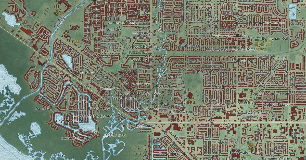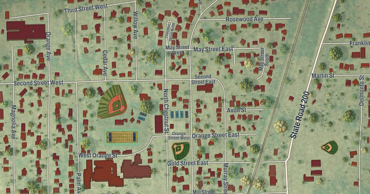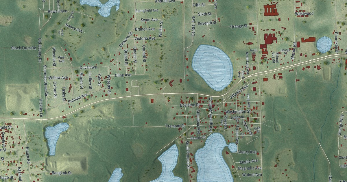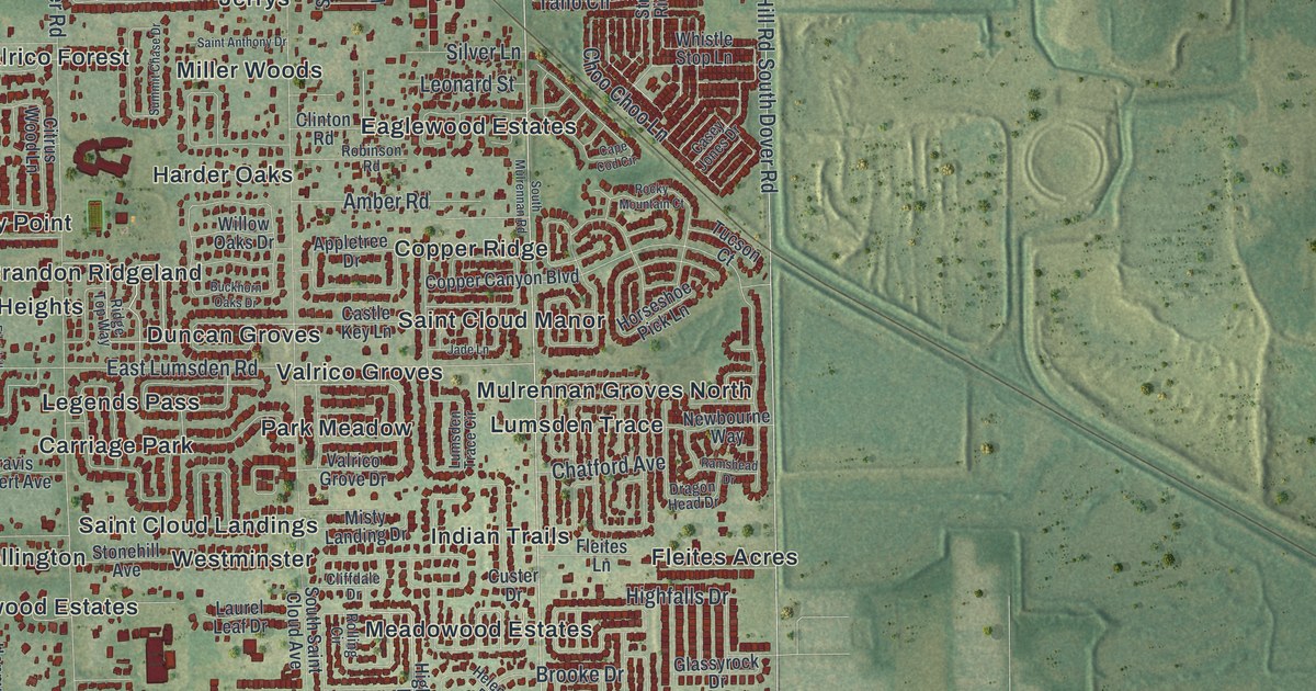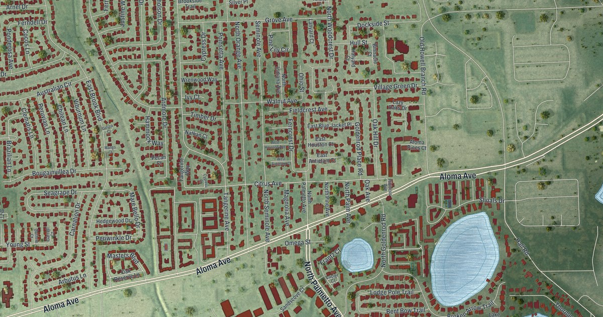
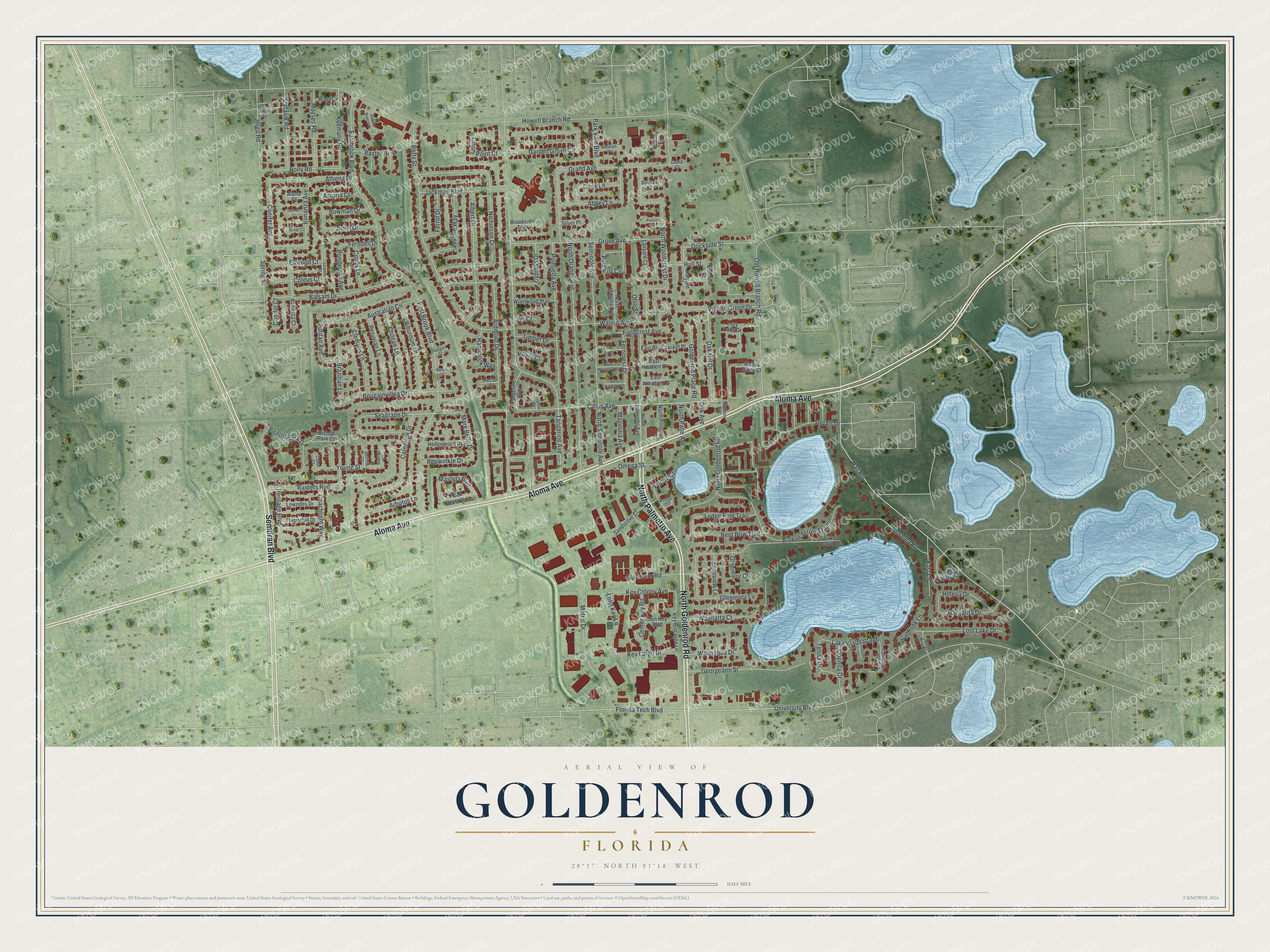
This beautifully detailed map of Goldenrod, Florida was created in 2026 using aerial imagery combined with modern topographical, census, street and landmark data. It's a modern aerial view of Goldenrod in Seminole County, Florida, that combines modern data with a vintage aesthetic. The roads feature printed names, and if you look closely you can find your exact house accurately shown in its correct location.
Explore an aerial view of Goldenrod, Florida
On this map you'll find North Palmetto Avenue, Semoran Boulevard, Aloma Avenue, North Goldenrod Road, Spring Street, Tangerine Avenue, Puritan Avenue, Florida Tech Boulevard, Lake Waunatta Drive, Balsam Drive, Masters Boulevard, East Brook Boulevard, and more. Each red shape is a building, so zoom in on the preview and look for yours.
Goldenrod is a community in Seminole County. The Census Bureau counted 13,431 people here in 2020. The map prints the town name in its title panel, with the coordinates below it.
Take a closer look at the Goldenrod map
Names on this map
These names are printed on this map.
Streets and roads: North Palmetto Avenue, Semoran Boulevard, Aloma Avenue, North Goldenrod Road, Spring Street, Tangerine Avenue, Puritan Avenue, Florida Tech Boulevard, Lake Waunatta Drive, Balsam Drive, Masters Boulevard, East Brook Boulevard.
More street names, A to Z
Abbey Lane, Albert Drive, Alena Court, Aloma Pines Court, Arbutus Lane, Ardmore Drive, Argyll Cv, Arnel Court, Arnel Drive, Astoria Court, Athena Drive, Australian Circle, Barnacle Court, Baxter Drive, Beacon Place, Bent Bow Trail, Betty Street, Binnacle Court, Bishop Park Court, Bishop Park Drive, Bonanza Avenue, Bonanza Court, Bougainvillea Drive, Bowman Drive, Brazilian Lane, Broken Arrow Trail, Brookside Trail, Cabot Court, Carnation Drive, Center Key Road, Chilean Lane, Citrus Avenue, Citrus Point Court, Clematis Lane, Coachlight Way, Cocos Lane, Coleus Court, Conifer Avenue, Conifer Court, Cook Lane, Cool Water Court, Cypress Court, Cypress Drive, Datura Court, Dockside Street, Dormer Court, East Antietam Court, East Blue Jacket Place, Eastbrook Boulevard, East Houston Court, East Lane, Ellwood Court, Ferncrest Drive, Ferndell Drive, Ferrol Drive, Fieldcrest Avenue, Frantz Court, Garden Grove Circle, Garrett Court, Georgeann Street, Glenmoor Court, Glenmoor Lane, Glenmoor Road, Glenview Lane, Goldenrod Place Road, Grand Avenue, Grand Court, Grove Avenue, Guthrie Court, Hall Road, Halyard Court, Hammock Way, Harbour Lights Court, Hedgewood Drive, Helena Drive, Heritage Boulevard, Hibiscus Avenue, Hilda Cv, Holly Road, Howell Branch Court, Howell Branch Road, Hull Street, Ivy Court, Jackman Boulevard, Jergo Road, Justine Way, Key Biscayne Lane, Key Colony Avenue, Key Largo Drive, Kuzmany Road, Lake Dawn Drive, Lanyard Court, Lazy Oaks Drive, Leanne Court, Lodge Pole Trail, Long Key Lane, Lost Lake Drive, Lowndes Drive, Lucier Court, Magnolia Avenue, Mango Court, Mare Bello Drive, Margarita Drive, Metric Drive, Moyses Road, Nathan Court, Nicholson Drive, North Indiana Avenue, North Mira Boulevard, North Orange Avenue, North Palm Avenue, North Pine Avenue, North Seminole Avenue, North Woodcrest Drive, Oak Avenue, Oak Hill Drive, Oak Reserve Lane, Ohio Street, Old Howell Branch Road, Omega Street, Park Vale Boulevard, Peaco Place, Pecan Court, Periwinkle Drive, Peruvian Lane, Pine Lily Circle, Poinsetta Avenue, Ponderosa Avenue, Portside Court, Quenita Drive, Raiders Run, Sandscove Court, Seagrape Drive, Seminole Avenue, Shoals Drive, Silver Place, Stefanik Road, Sun Key Boulevard, Tangerine Way, Tenita Drive, Thistlehill Drive, Thornlea Road, Timber Drive, University Boulevard, Viburnum Lane, Village Green Drive, Walnut Avenue, Waunaqua Drive, Waunatta Court, West Antietam Court, West Houston Avenue, Winbrook Lane, Wrenwood Way, Yacht Court, Young Street.
See it on a wall
The Goldenrod map as a framed print. Swipe for more.


Created by KNOWOL in 2026. The buildings are small red shapes, the roads carry their printed names, and shaded relief shows the shape of the land. The title panel reads "AERIAL VIEW OF GOLDENROD, FLORIDA" with 28°37' NORTH 81°18' WEST.
It suits a den, a classroom or a front hall, and it makes a gift for anyone with Goldenrod roots. Open the preview and find the block you know. See sizes and frames for the Goldenrod map.