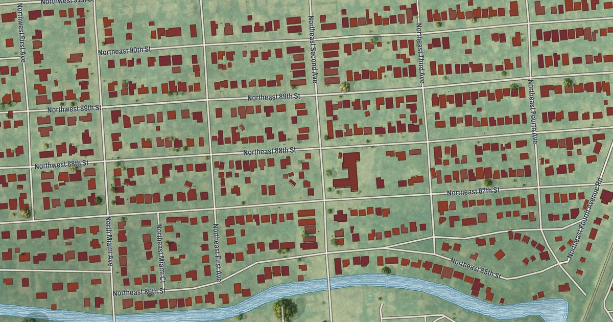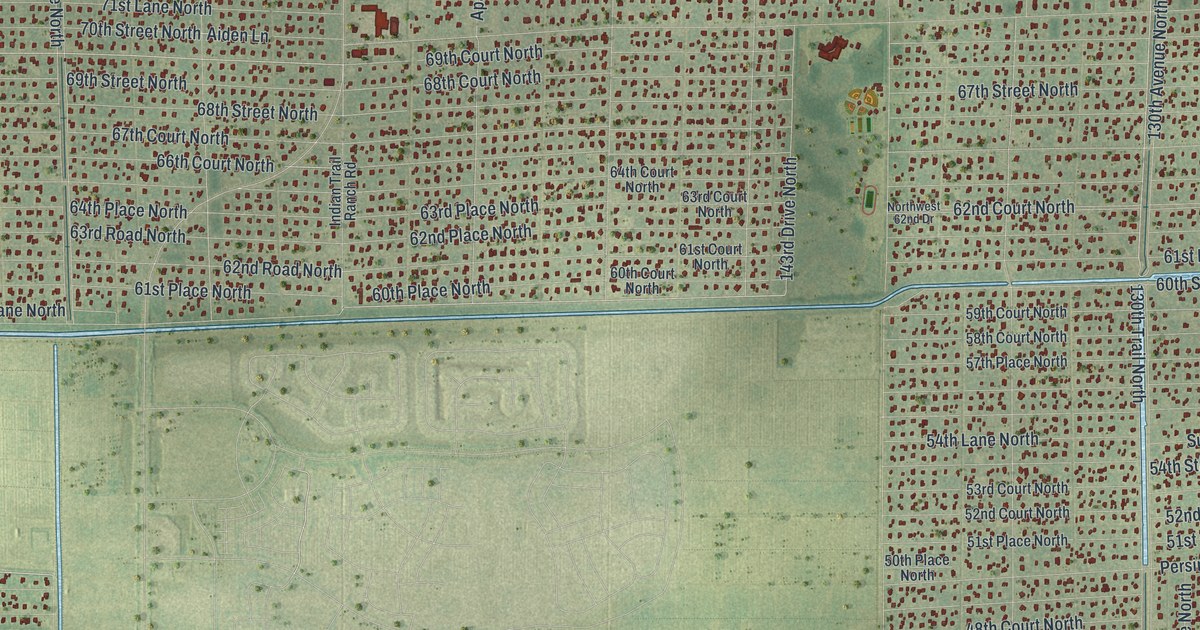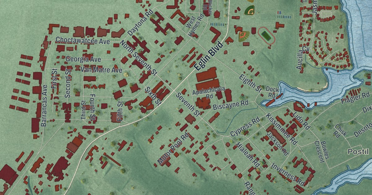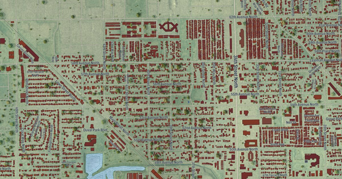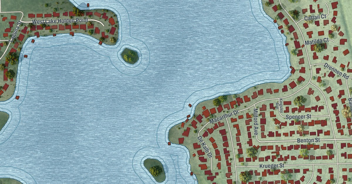
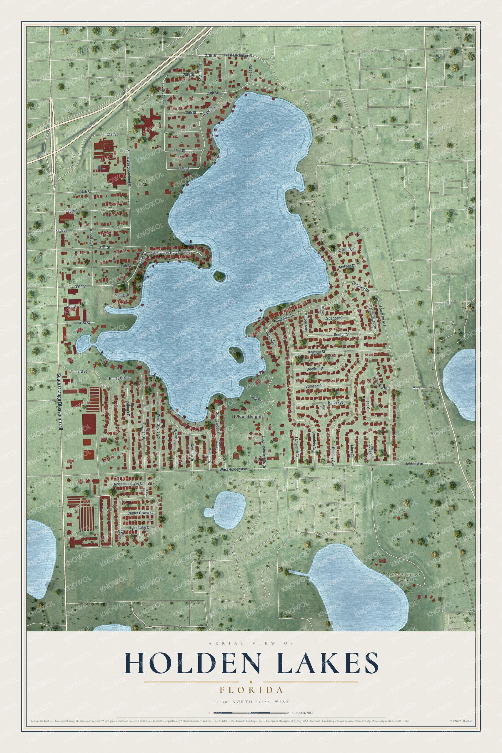
This beautifully detailed map of Holden Lakes, Florida was created in 2026 using aerial imagery combined with modern topographical, census, street and landmark data. It's a modern aerial view of Holden Lakes in Orange County, Florida, that combines modern data with a vintage aesthetic. The roads feature printed names, and if you look closely you can find your exact house accurately shown in its correct location.
Explore an aerial view of Holden Lakes, Florida
On this map you'll find Holden Heights, Cypress Grove Park, South Orange Blossom Trail, 27th Street, West Lake Holden Point, Laguna Street, Benton Street, 33rd Street, South Lee Avenue, Bainbridge Avenue, West Holden Avenue, Bradley Avenue, and more. Each red shape is a building, so zoom in on the preview and look for yours.
Holden Lakes is a community in Orange County. Holden Lakes sits about 2 miles southeast of Holden Heights, 3 miles north of Sky Lake and 3 miles northeast of Oak Ridge. The map prints the town name in its title panel, with the coordinates below it.
Take a closer look at the Holden Lakes map
Names on this map
These names are printed on this map.
Places: Holden Heights and Cypress Grove Park.
Streets and roads: South Orange Blossom Trail, 27th Street, West Lake Holden Point, Laguna Street, Benton Street, 33rd Street, South Lee Avenue, Bainbridge Avenue, West Holden Avenue, Bradley Avenue, Forrestal Avenue, Holden Avenue.
More street names, A to Z
28th Street, 29th Street, 30th Street, 31st Street, 32nd Street, 34th Street, 35th Street, 36th Street, 37th Street, 38th Street, 39th Street, 40th Street, 41st Street, 43rd Street, Alamo Drive, Almark Drive, Brandeis Avenue, Cattail Court, Center Grove Street, De Kalb Drive, Doolittle Street, Drennen Road, Forrestal Place, Halsey Court, Halsey Street, Hill Place, Holden Ridge Avenue, Honey Girl Lane, Ilene Court, Jessamine Lake Court, Judy Court, Kelsey Road, Kingsley Avenue, Krueger Street, Lake Holden Hills Drive, Macarthur Drive, Mars Court, Matilda Court, Milford Avenue, Palma Drive, Paseo Avenue, Patricia Ann Court, Raymar Drive, Redfern Drive, South Shore Road, South Westmoreland Drive, Spencer Street, Springwood Drive, Stimson Street, Tamworth Court, Telfair Drive, Tinsley Drive, Tyler Lake Circle, Tyler Lake Court, Uintah Avenue, West Michigan Street, Woods Avenue.
See it on a wall
The Holden Lakes map as a framed print. Swipe for more.


Created by KNOWOL in 2026. The buildings are small red shapes, the roads carry their printed names, and shaded relief shows the shape of the land. The title panel reads "AERIAL VIEW OF HOLDEN LAKES, FLORIDA" with 28°30' NORTH 81°23' WEST.
Hang it in the hallway, the office or the cabin, or give it to someone who left Holden Lakes and still calls it home. Open the preview and look for a street you know. See sizes and frames for the Holden Lakes map.