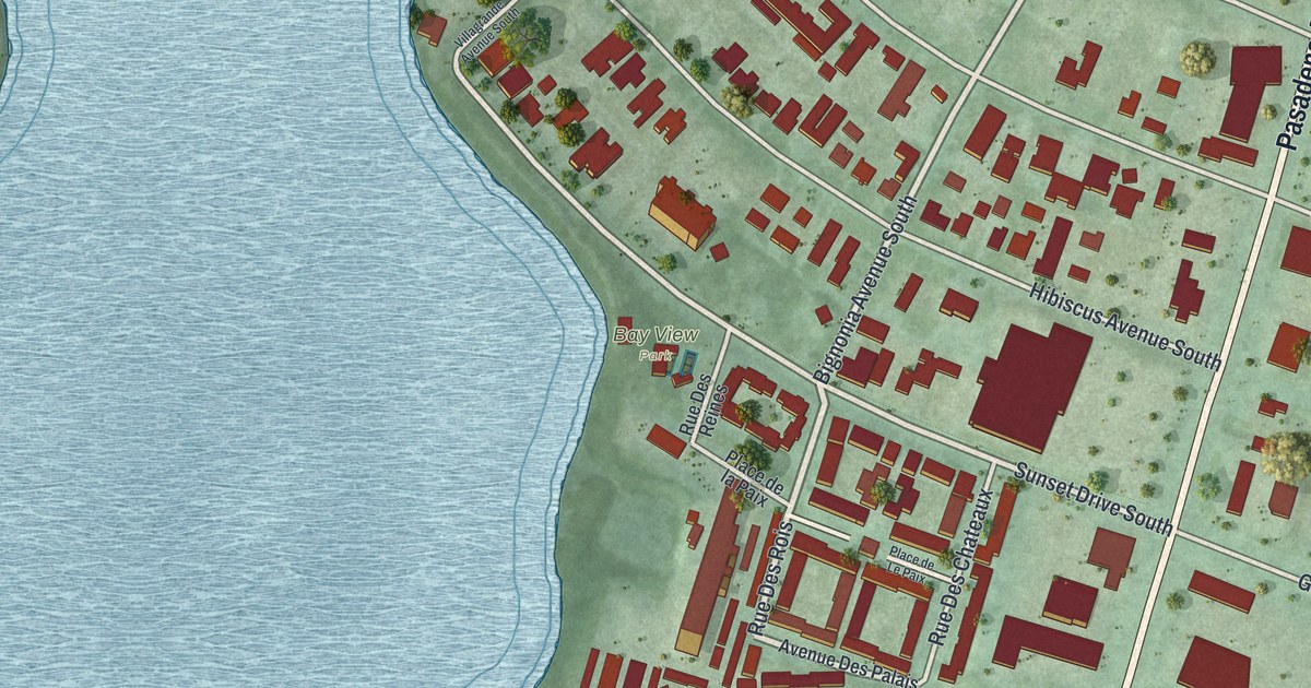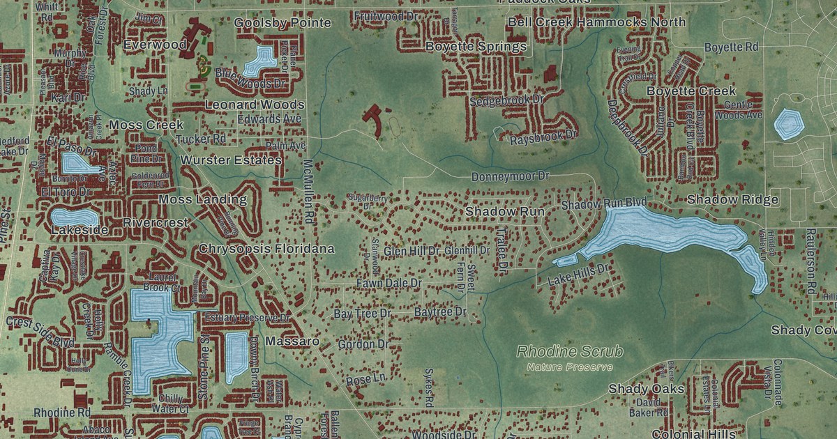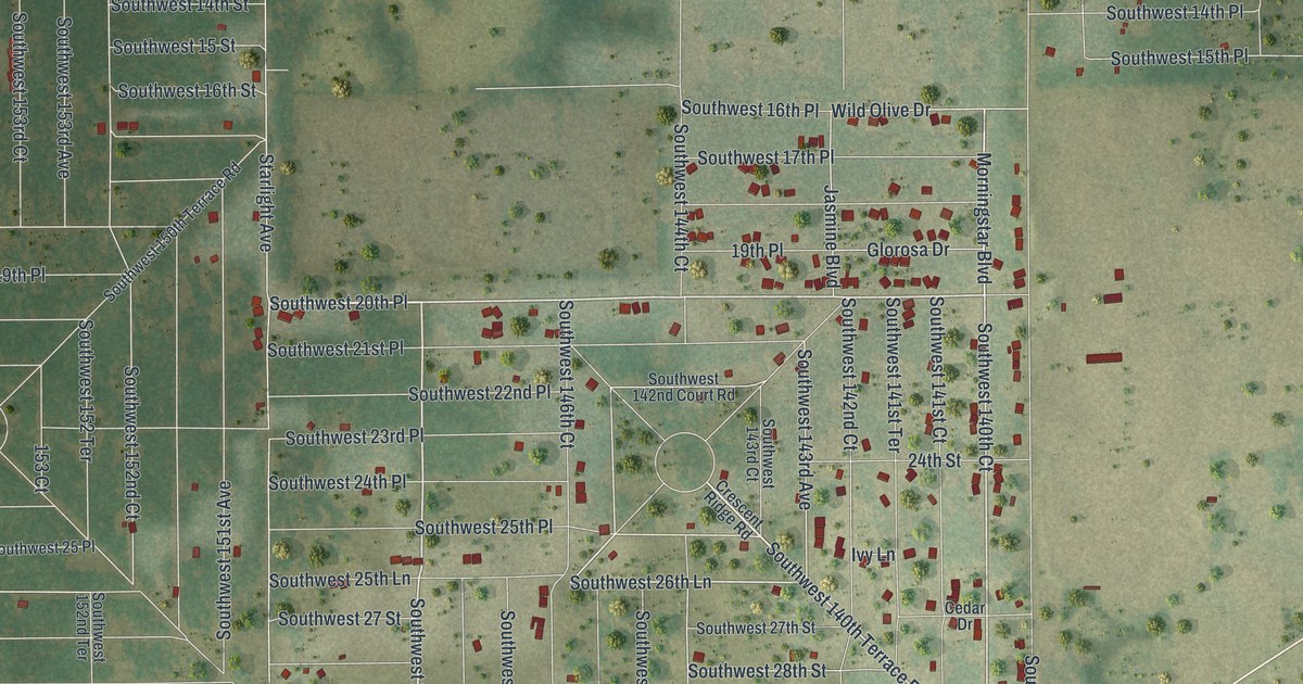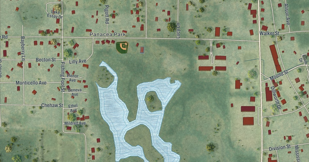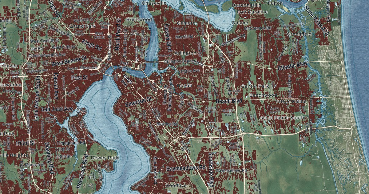
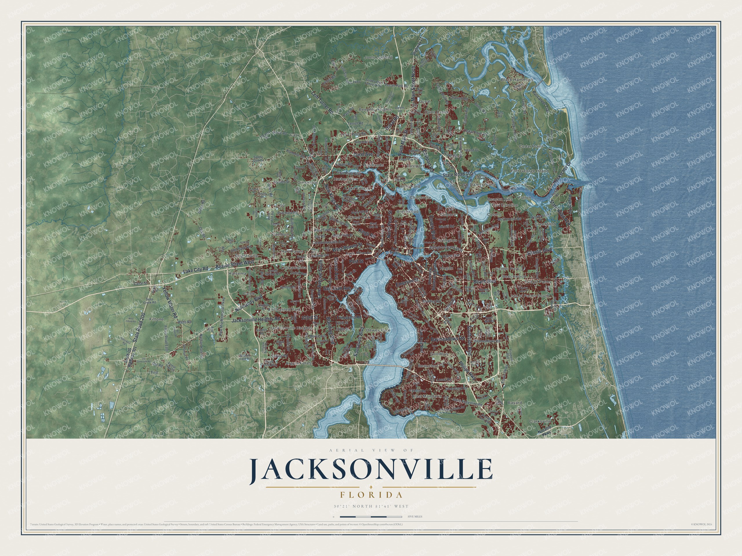
This beautifully detailed map of Jacksonville, Florida was created in 2026 using aerial imagery combined with modern topographical, census, street and landmark data. It’s a one-of-a-kind view of Jacksonville that combines accurate data with a vintage aesthetic. The map shows every building in its true location, many of the roads carry their names, and the shaded topographic relief shows the shape of the land.
Explore an aerial view of Jacksonville, Florida
On the map you’ll find Argyle Forest, Arlington, Bayard, Beacon Hills, Beauclerc, Beechwood, Beeghly Heights, Black Hammock, Brentwood, Brightsville, Caleb, Cambon, and more. If you look closely you can even find your house accurately drawn in its correct location. Zoom in on the preview to look for yours.
Did You Know?
Under British rule, a settlement grew at a narrow spot on the river where cattle crossed. The British called it Cow Ford, and the Seminole called it Wacca Pilatka. In 1822 settlers laid out a town and named it for Andrew Jackson, then the Florida Territory’s first military governor. Isaiah D. Hart led the residents who wrote its charter in 1832.
Take a closer look at the Jacksonville map
Names on this map
These names are printed on this map.
Places: Argyle Forest, Arlington, Bayard, Beacon Hills, Beauclerc, Beechwood, Beeghly Heights, Black Hammock, Brentwood, Brightsville, Caleb, Cambon, Cary, Cedar Point, Center Park, Chaseville, Clarksville, Cosmo, Dames Point, Dewey Park, Dinsmore, Dunn Creek, Duval, East Mandarin, Eastport, Enchanted Park, Fiftone, Fort Caroline, Fort George Island, Fulton, Gilmore, Goodbys, Grand Park, Greenfield, Halsema, Harbor View, Hart Haven, Highlands, Hogan, Holly Ford, Isle of Palms, Isle of Palms South, Jacksonville Heights, Joels Landing, Lackawanna and Lake Forest.
Streets and roads: Roosevelt Boulevard, State Road 200, North Main Street, Main Street North, West Beaver Street, Beach Boulevard, New Kings Road, Lem Turner Road, Southside Boulevard, Beaver Street West, Lake City Road, Kings Road.
More street names, A to Z
103rd Street, 110th Street, 118th Street, Acree Road, Aladdin Road, Allene Road, Alta Drive, Alta Lakes Boulevard, Alumni Way, Anders Boulevard, Argyle Forest Boulevard, Arlington Expressway, Arlington Road, Armsdale Road, Arnon Road, Art Museum Drive, Atlantic Boulevard, August Drive, Baisden Road, Baltimore Street, Bartram Park Boulevard, Baymeadows Road, Bea Lane, Beauclerc Road, Belfort Road, Bell Estates Road, Bell Road, Bessent Road, Betz Road, Bird Road, Biscayne Boulevard, Blair Road, Blanding Boulevard, Bond Avenue, Boney Road, Bowden Road, Braddock Road, Brady Road, Branan Field Road, Bream Road, Broward Road, Bryan Street, Buccaneer Trail, Buffalo Avenue, Bulls Bay Highway, Burnt Mill Road, Burnt Pine Drive, Canal Street, Capper Road, Cassat Avenue, Cedar Bay Road, Cedar Point Road, Cesery Boulevard, Chaffee Road, Chaffee Road South, Channel View Bv, Child Street, Cisco Drive, Claire Lane, Cole Road, Collins Road, Commonwealth Avenue, Copper Hill Drive, Cortez Road, Crystal Springs Road, Davis Road, Deep Creek Road, Deercreek Club Road, Deerwood Park Boulevard, Dennis Street, Denny Road, Dillon Road, Dunn Avenue, Dunn Creek Road, Duval Road, Duval Station Road, Dyal Street, Eagerton Road, Eagle Bend Boulevard, Eagle Bend Court, East 21st Street, East Bay Street, Eastport Road, East Road, Eaton Avenue, Eco Road, Edison Avenue, Ellis Road, Emerson Street, Ethel Road, Etown Parkway, Eunice Road, Fang Drive, Faye Road, Fifth Avenue, Fifton Road East, Filament Boulevard, Firestone Road, First, Fish Road, Flynn Road, Forest Boulevard, Forest Trail 29, Fouraker Road, Garden Street, Gately Road, Gate Parkway North, Gillcreast Road, Gillespie Avenue, Girl Road, Girvin Road, Golden Star Family Parkway, Gold Star Family Parkway, Golfair Boulevard, Gran Bay Parkway, Grand Avenue, Greenland Chase Boulevard, Greenland Road, Grover Road, Gun Club Road, Haines Street, Hala Court, Hamilton Street, Hannnah Road, Hartsfield Road, Harts Road, Heath Road, Heckscher Drive, Hemlock Street, Herlong Road, Highway 17, Highway Avenue, Hipps Road, Hodges Boulevard, Hogan Road, Holsinger Boulevard, Hood Road, Houston Avenue, Hunters Grove Road, Huntley Manor Drive, Imeson Road, International Airport Boulevard, Island Drive, Ivey Road, Jacksonville Heights Road, James Island Trail, Jammes Road, Jay Road, Jolynn Road, Jones Road, Julington Creek Road, Kernan Boulevard North, Kings Avenue, Kinkaid Road, Kline Road, Lakeshore Boulevard, Lane Avenue South, Lane East, Lanier Road, Lannie Road, Le Brun Drive, Lee Road, Lenczyk Drive, Lenox Avenue, Leon Road, Longleaf Branch Drive, Loretto Road, Losco Road, Losco Road Extension, Lyle Road, Mabel Drive, Mandarin Road, Maple Avenue, Mayport Road, McCormick Road, McKenna Drive, Merrill Road, Messer Road, Millcoe Road, Mill Creek Road, Mindanao Drive, Moncrief Dinsmore Road, Moncrief Road West, Monument Road, Moose Road, Morse Avenue, Mustin Road, Myra Street, Natal Avenue, Nathan Hale Road, New Berlin Road, Nocatee Parkway, Normandy Boulevard, North Davis Street, North Liberty Street, North Pearl Street, Oak Street, Old Gainesville Road, Old Kings Road, Old Kings Road South, Old Plank Road, Old Saint Augustine Road, Ortega Bluff Parkway, Ortega Boulevard, Ortega Forest Drive, Osprey Ridge Road, Otis Road, Owens Road, Pace Road, Palm Avenue, Palmdale Street, Palmetto Avenue, Park Street, Pat Road, Patrol Road, Patty Drive, Paxton Road, Pecan Park Road, Percy Road, Perdue Road, Philips Highway, Pickettville Road, Pine Island Drive, Plummer Grant Road, Plummer Road, Ponce de Leon Avenue, Post Street, Powers Avenue, Pow Mia Memorial Parkway, Pritchard Road, Propeller Drive, Pulaski Road, Pumpkin Hill Road, Put Road, Queens Harbor Boulevard, Ramallah Road, Ramoth Drive, Rampart Road, Ranger Street, Rayford Street, Rebar Road, Rex Drive, Ricker Road, Ricky Drive, River City Drive, Rolling River Boulevard, Rowe Avenue, Saddle Club Drive, Saint Augustine Road, Saints Road, Salisbury Road, Sandler Road, San Jose Boulevard, San Juan Avenue, San Pablo Parkway, Sawpit Road, Scott Mill Road, Seminole Road, Sheffield Road, Shindler Drive, Simmons Road, Snyder Street, Solomon Road, Soutel Drive, South US Highway 301, Sportsman Club Road, Spring Park Road, Springtree Road, Starratt Road, State Road 105, Stetson Road, Stratton Road, Stuart Avenue, Sycamore Street, Talleyrand Avenue, Tallulah Avenue, Tartus Drive, Teal Road, Terrell Road, Thomas Road, Tia Road, Timuquana Road, Townsend Road, Trail End, Trevi Drive, Trout River Boulevard, University Boulevard South, Utsey Road, Venetia Boulevard, Victor Street, Wells Road, West 19th Street, West 23rd Street, West 45th Street, West Fifth Street, West Fiftone Road, West Fish Road, West Twelfth Street, Wheat Road, Wilson Boulevard, Wonderwood Drive, Woodwings Road, Yellow Bluff Road, Yellow Water Road, Young Road.
See it on a wall
The Jacksonville map as a framed print. Swipe for more.


This beautifully detailed map of Jacksonville makes an attractive addition to your office, library, or den, and it can even be used to teach children the geography and history of the area. It also makes a great gift for anyone who grew up in Jacksonville or moved away. When you’re done exploring, click here to get your copy of the Jacksonville map.