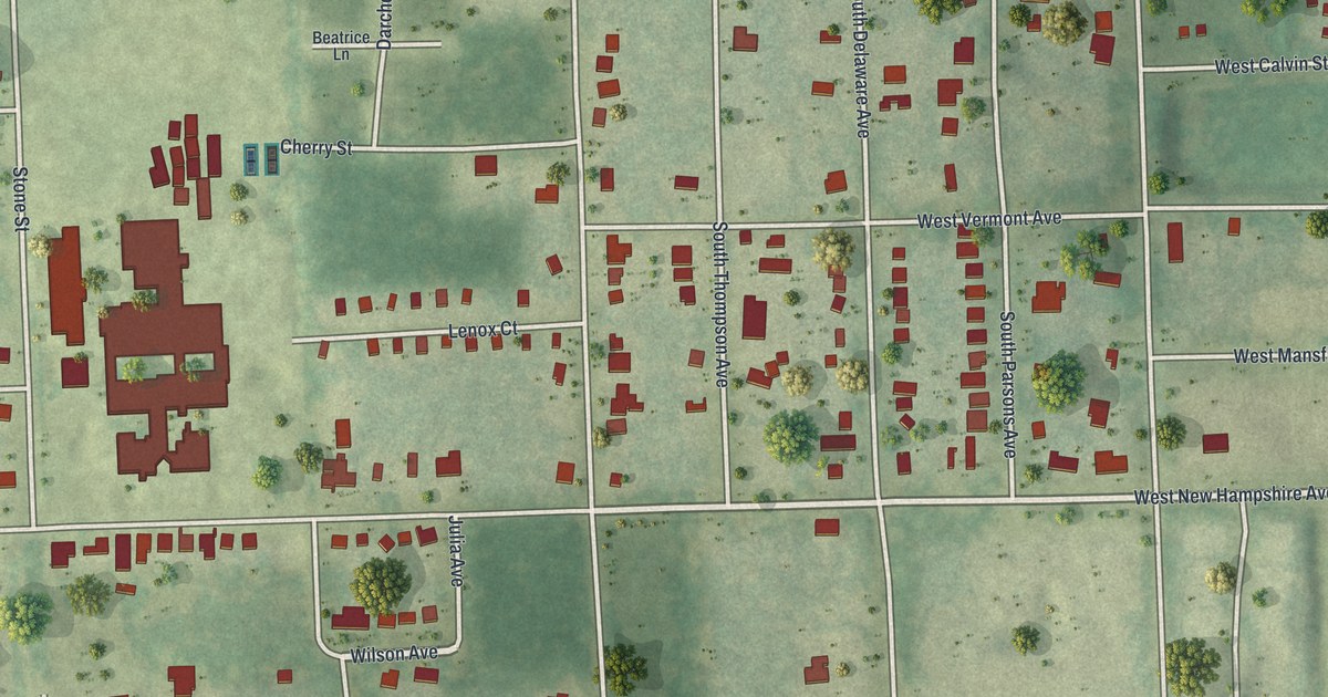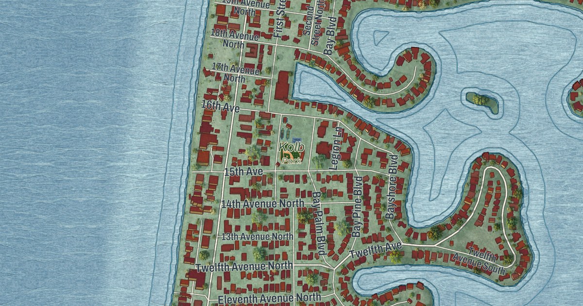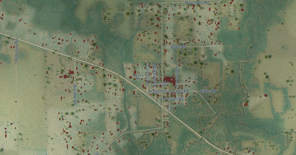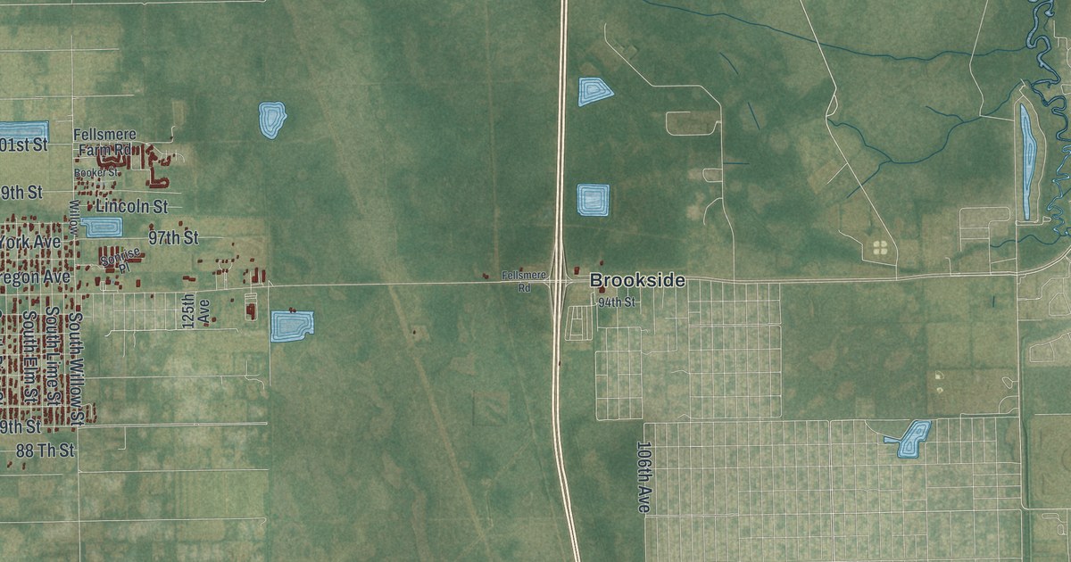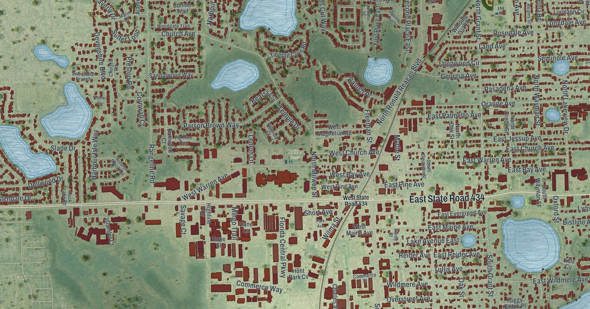
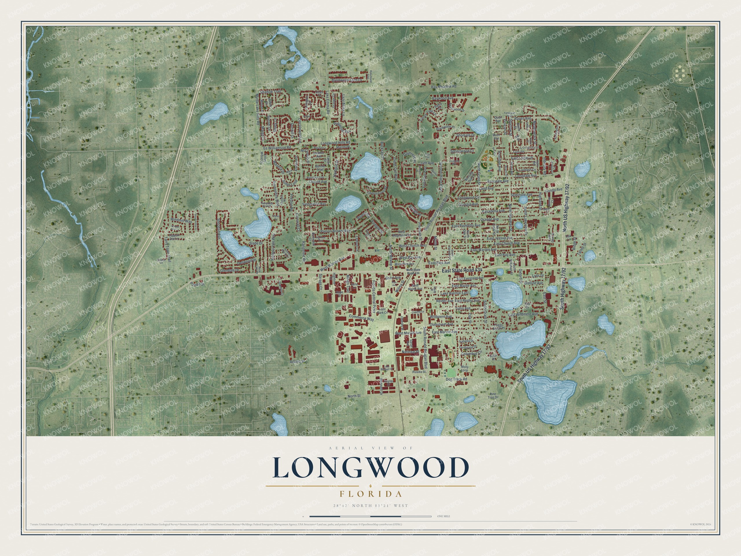
This beautifully detailed map of Longwood, Florida was created in 2026 using aerial imagery combined with modern topographical, census, street and landmark data. It’s a one-of-a-kind view of Longwood that combines accurate data with a vintage aesthetic. The map shows every building in its true location, many of the roads carry their names, and the shaded topographic relief shows the shape of the land.
Explore an aerial view of Longwood, Florida
On the map you’ll find Longdale, Reiter Park, East State Road 434, South Highway 17/92, South US Highway 17/92, and North US Highway 17/92, along with Raven Avenue, Ee Williamson Road, Sparrow Street, Meadowlark Street, West Church Avenue, North Milwee Street, and more. If you look closely you can even find your house accurately drawn in its correct location. Zoom in on the preview to look for yours.
Take a closer look at the Longwood map
Names on this map
These names are printed on this map.
Places: Longdale and Reiter Park.
Streets and roads: East State Road 434, Raven Avenue, Ee Williamson Road, Sparrow Street, Meadowlark Street, West Church Avenue, North Milwee Street, North Ronald Reagan Boulevard, South Grant Street, East Church Avenue, South Ronald Reagan Boulevard, North Grant Street.
More street names, A to Z
14th Avenue, Adams Street, Alameda Drive, Applewood Drive, Autumn Brook Circle, Bahia Circle, Balogh Place, Bay Meadow Road, Baywood Avenue, Bear Boulevard, Bearss Circle, Bennett Drive, Bistline Avenue, Blackwater Place, Bomar Court, Bonnie Trail, Brentwood Club Cv, Bryan Court, Bucksaw Place, Burlwood Court, Canary Street, Charles Street, Chelsea Road, Church Avenue, Citrus Tree Lane, Citrus Wood Court, Columbus Circle, Commerce Circle, Commerce Street, Commerce Way, Cornwall Court, Corporate Way, Cross Cut Way, Dane Lane, Daybreak Place, Dellwood Drive, Devonshire Boulevard, Dog Track Road, Dunhill Drive, Eagle Avenue, Eagle Trail, East Bay Avenue, East Evergreen Avenue, East Jessup Avenue, East Logan Drive, East Maine Avenue, East Marvin Avenue, East Palmetto Avenue, East Pine Avenue, East Reider Avenue, East Street, East Warren Avenue, East Wildmere Avenue, Ferdinand Drive, Fig Tree Run, First Place East, Florida Avenue, Florida Central Parkway, Foggy Brook Place, Freeman Street, Garden Lane, Georgia Avenue, Glendale Drive, Grange Circle, Hamilton Avenue, Harbour Drive, Harbour Isle Way, Hardy Street, Heather Avenue, Highland Street, Highline Drive, Hillary Court, Hilltop Drive, Hope Street, Hunt Park Cv, Hunt Road, Industry Road, Isabella Drive, Islander Court, Jay Street, Ketz Cv, Lake Avenue East, Lake Bennett Court, Lake Emma Road, Lake Gem Drive, Land Avenue, Lazy Acres Lane, Lemon Lane, Lincolnwood Lane, Lommler Street, Longdale Avenue, Longwood Circle, Longwood Hills Road, Lormann Circle, Lyns Drive, Maraval Court, Margo Lane, Marin Drive, Matilda Place, McClintock Street, Mingo Trail, Mockingbird Lane, Molly Loop, Mound Street, Myrtle Lake Hills Road, Myrtle Street, National Place, Norfolk Court, North Credo Street, North Lakeview Drive, North Oak Street, North Street, North Wayman Street, Oak Lane, Oak Street, Orange Avenue, Oriole Street, Overstreet Avenue, Oxford Street, Park Avenue, Parson Brown Way, Pasadena Avenue, Pelican Street, Pineda Street, Pine Tree Drive, Pinta Place, Powell Street, Poyner Drive, Preston Road, Quail Avenue, Ranchland Trail, Rangeline Road, Reams Street, Reider Avenue, Ridgeline Run, Ridge Street, Robin Court, Rock Lake Road, Rosedale Avenue, Sandalwood Way, Sarah Avenue, Savage Court, Second Place East, Selma Road, Seminole Avenue, Shadow Trail, Shady Lane, Sheridan Avenue, Shomate Drive, Short Avenue, Slade Drive, Sleepy Hollow Cv, South Oleander Street, South Wayman Street, Springwood Court, Sunset Drive, Sutter Loop, Sweetbriar Branch, Talmo Street, Tappan Zee Lane, Tarry Town Trail, Tartan Street, Temple Drive, Thames Circle, Tiberon Cove Road, Timocuan Way, Torrington Circle, Tullis Avenue, Twelfth Avenue, Valencia Court, Waverly Drive, West Bay Avenue, West Magnolia Avenue, West Maine Avenue, West Marvin Avenue, West Pine Avenue, West State Road 434, West Warren Avenue, Wildmere Avenue, Wilma Street, Winding Oak Lane, Windmill Way, Wooden Shoe Lane, Woodgate Trail, Wren Avenue.
See it on a wall
The Longwood map as a framed print. Swipe for more.


This beautifully detailed map of Longwood makes an attractive addition to your office, library, or den, and it can even be used to teach children the geography and history of the area. It also makes a great gift for someone who left Longwood and still calls it home. When you’re done exploring, click here to get your copy of the Longwood map.