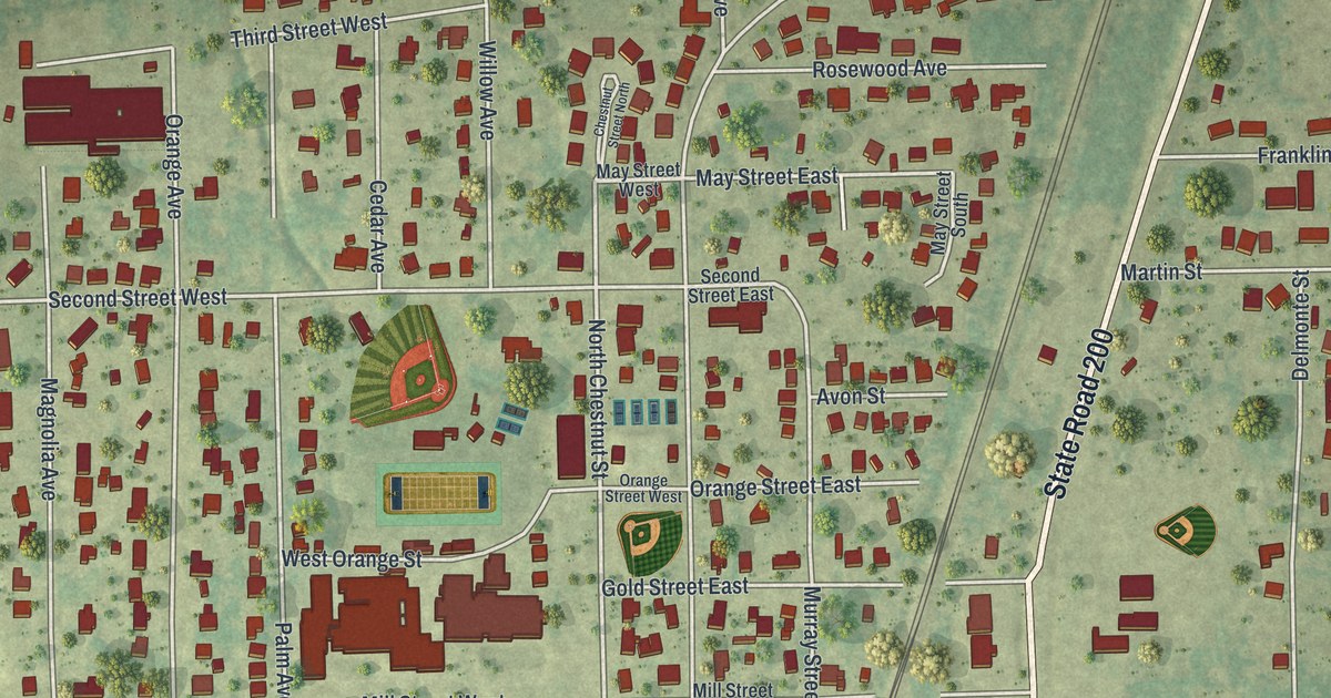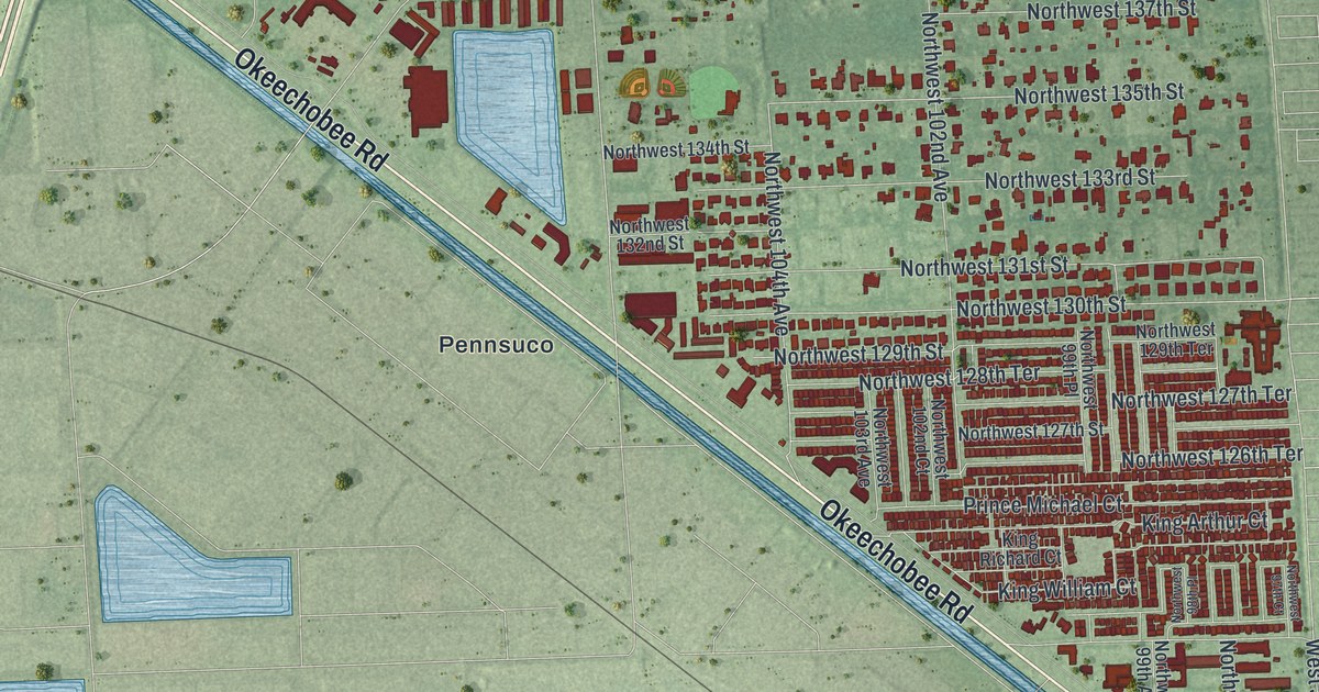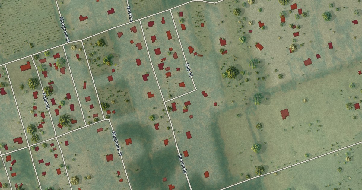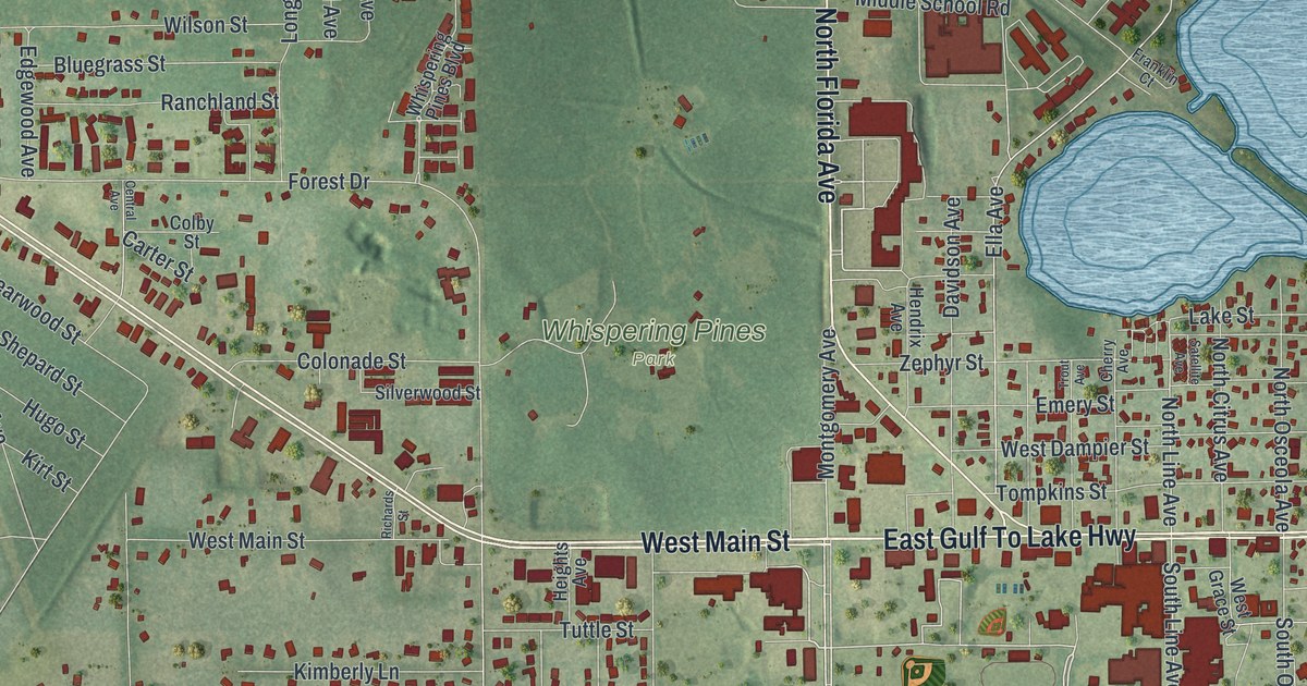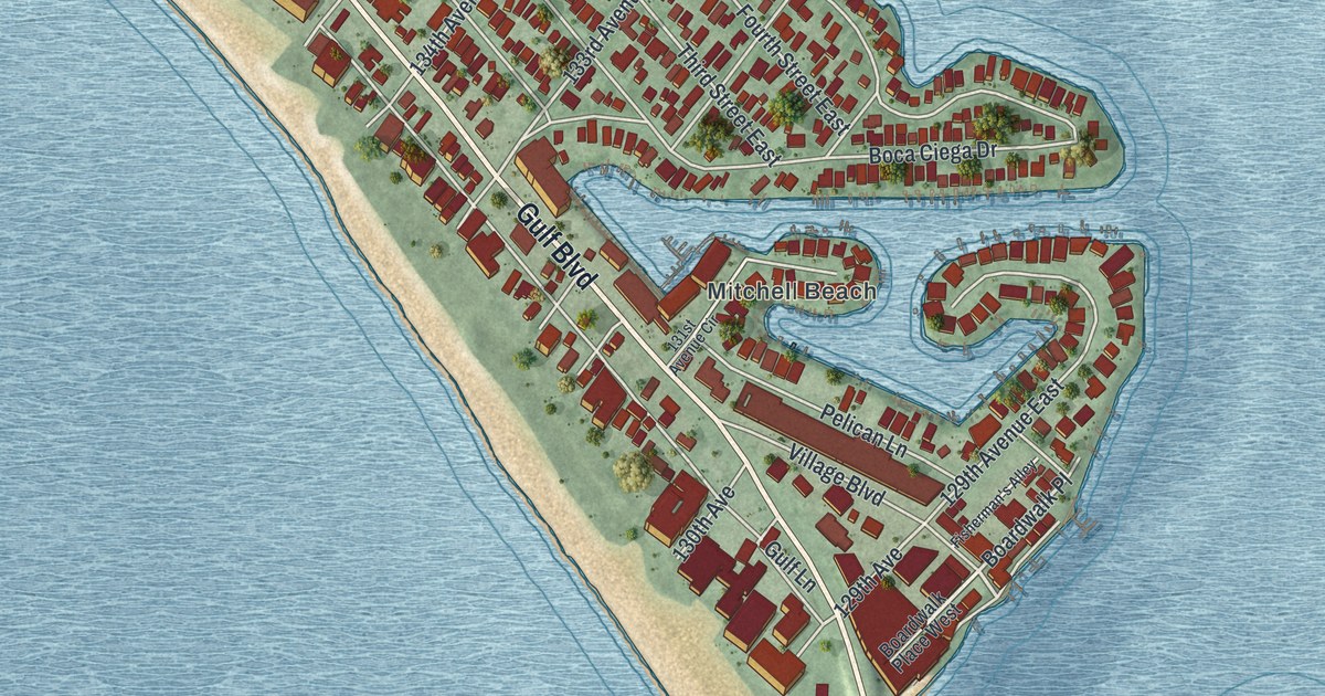
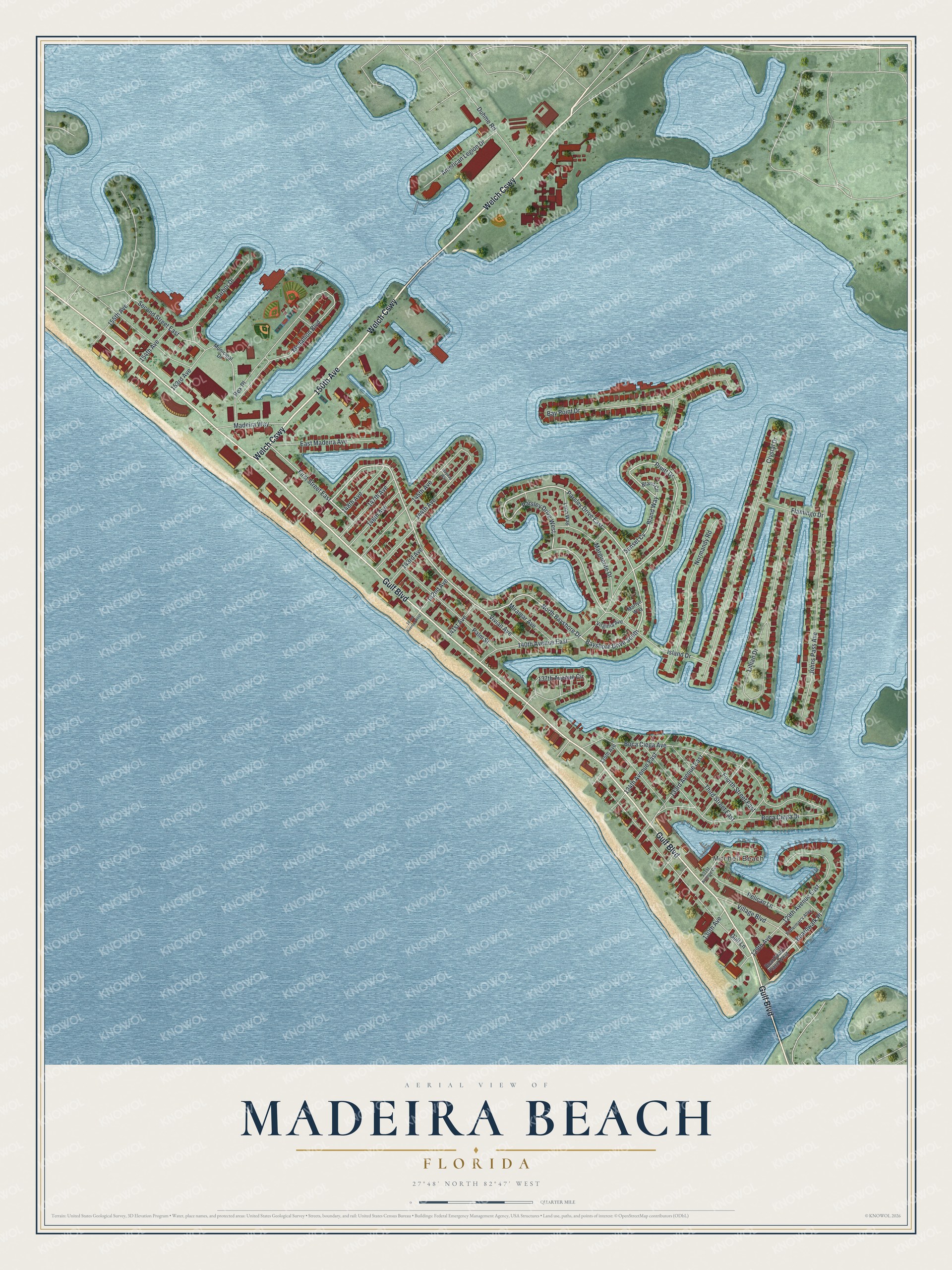
This beautifully detailed map of Madeira Beach, Florida was created in 2026 using aerial imagery combined with modern topographical, census, street and landmark data. It’s a one-of-a-kind view of Madeira Beach that combines accurate data with a vintage aesthetic. The map shows every building in its true location, many of the roads carry their names, and the shaded topographic relief shows the shape of the land.
Explore an aerial view of Madeira Beach, Florida
On the map you’ll find Mitchell Beach, Welch Cswy, Sunset Cv, and Boardwalk Place, along with Gulf Boulevard, 150th Avenue, North Bayshore Drive, Pruitt Drive, Bland Way, First Street East, Medallion Boulevard, 129th Avenue, and more. If you look closely you can even find your house accurately drawn in its correct location. Zoom in on the preview to look for yours.
Did You Know?
A hurricane known as the Gale of ’48 carved out the channel now called John’s Pass, giving Madeira Beach its modern shape. The pass was named for early homesteader John Levique. The city takes its name from the Portuguese island of Madeira.
Take a closer look at the Madeira Beach map
Names on this map
These names are printed on this map.
Places: Mitchell Beach.
Streets and roads: Welch Causeway, Gulf Boulevard, 150th Avenue, North Bayshore Drive, Bayshore Drive South, Parsley Drive East, Parsley Drive West, Pruitt Drive, Bland Way, First Street East, Sunset Cv, Boardwalk Place.
More street names, A to Z
129th Avenue, 129th Avenue East, 130th Avenue, 131st Avenue Circle, 133rd Avenue East, 134th Avenue East, 135th Avenue, 137th Avenue Circle, 140th Avenue East, 141st Avenue, 142nd Avenue, 142nd Avenue West, 143rd Avenue, 144th Avenue, 145th Avenue, 146th Avenue, 147th Avenue, 148th Avenue, 153rd Avenue, 154th Avenue, 155th Avenue, American Legion Drive, Bay Point Drive, Bayway Way, Bland Circle, Boardwalk Place West, Boca Ciega Avenue, Boca Ciega Drive, Crystal Drive, Duhme Road, East Madeira Avenue, Fisherman's Alley, Flamingo Drive, Fourth Street East, Gulf Lane, Harbor Drive, Island Drive, Johns Pass Avenue, Lillian Drive, Lynn Way, Madeira Way, Marguerite Drive, Marlyn Way, Medallion Boulevard, Miramar Avenue, Municipal Drive, Normandy Road, Palm Street, Pelican Lane, Rex Place, Second Street East, Third Street East, Village Boulevard, Virginia Avenue, Vivian Avenue.
See it on a wall
The Madeira Beach map as a framed print. Swipe for more.


This beautifully detailed map of Madeira Beach makes an attractive addition to your office, library, or den, and it can even be used to teach children the geography and history of the area. It also makes a great gift for someone who left Madeira Beach and still calls it home. When you’re done exploring, click here to get your copy of the Madeira Beach map.