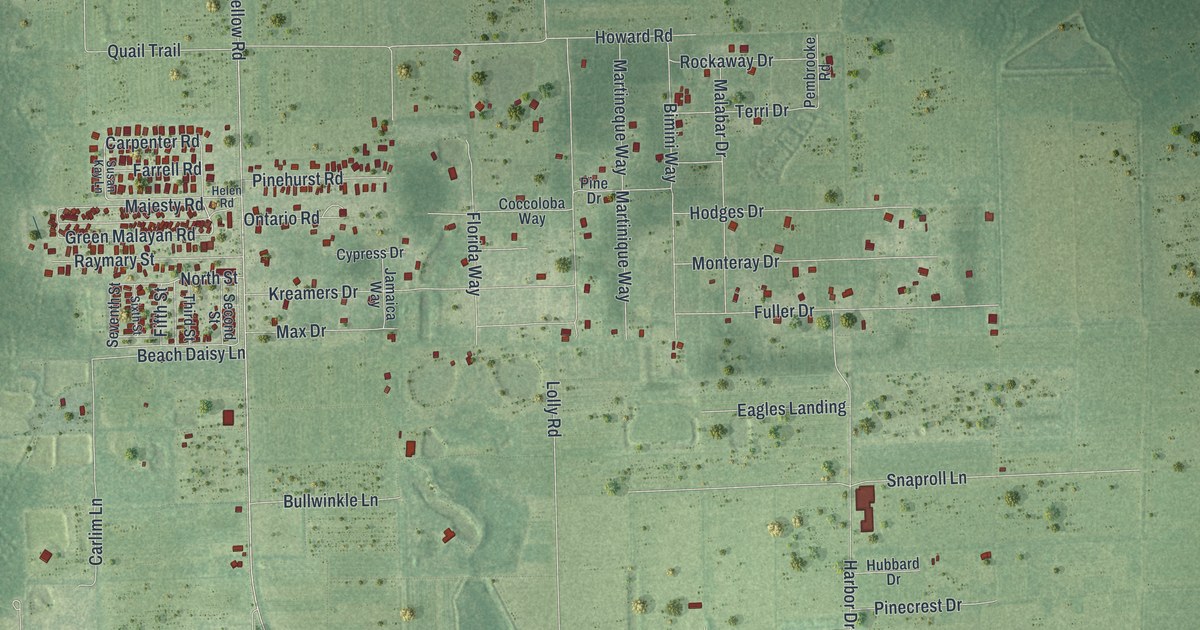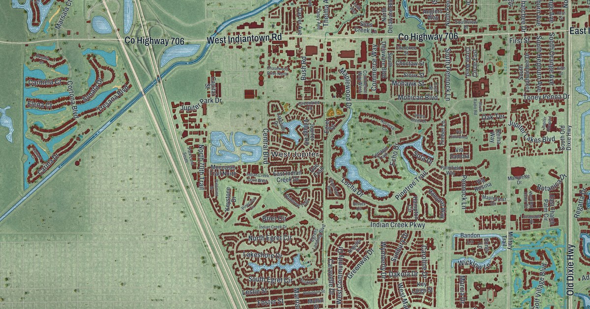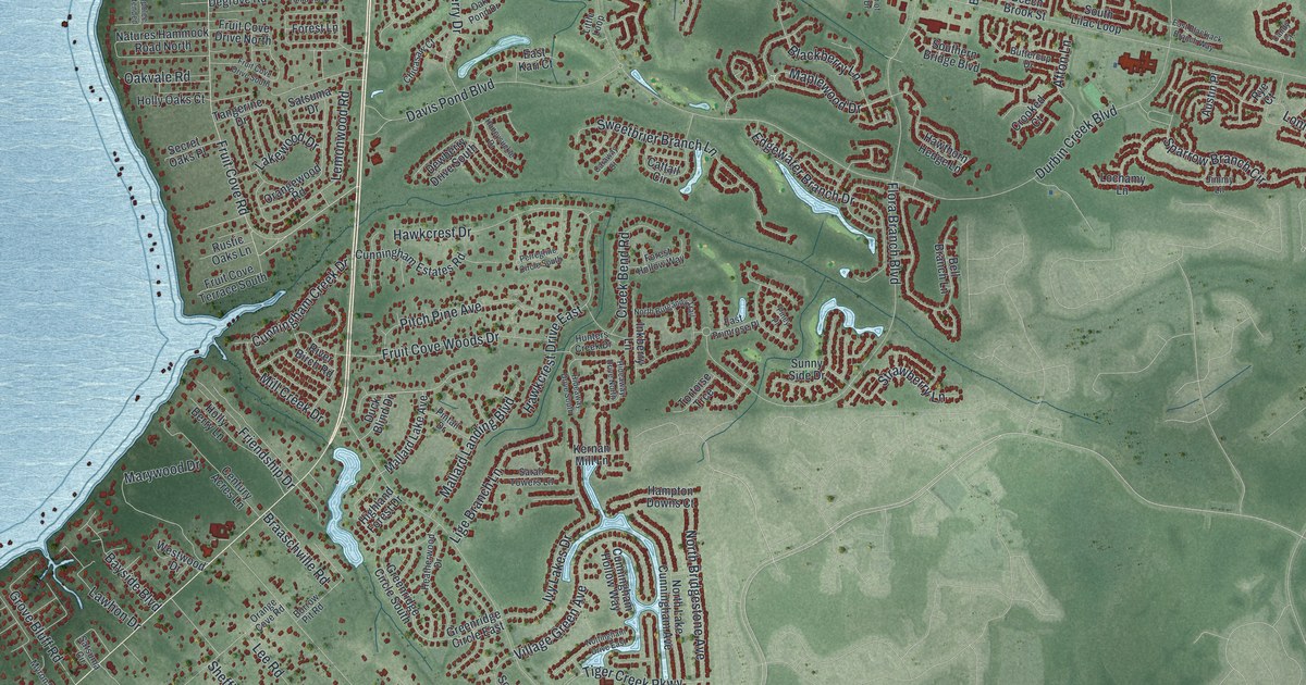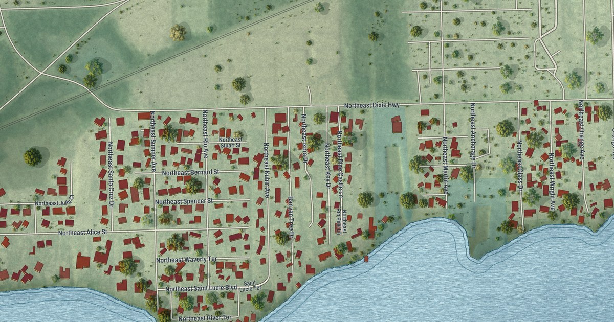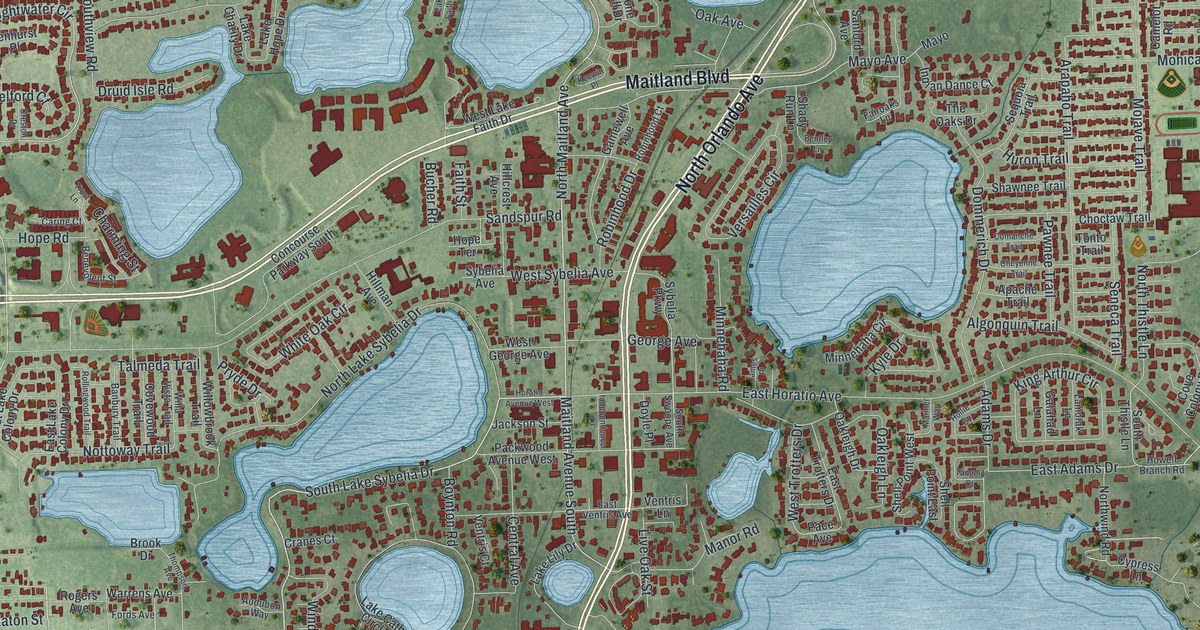
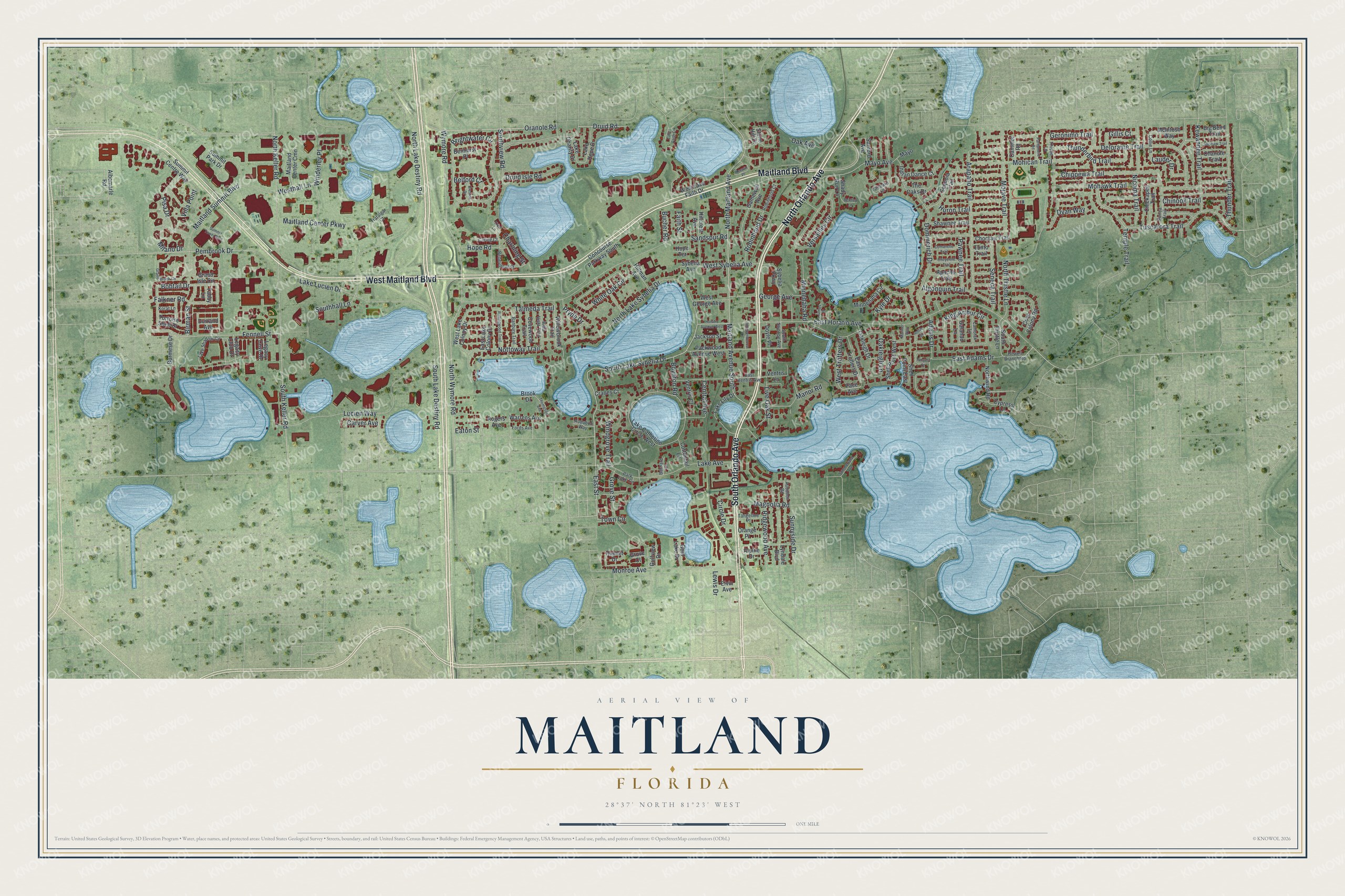
This beautifully detailed map of Maitland, Florida was created in 2026 using aerial imagery combined with modern topographical, census, street and landmark data. It’s a one-of-a-kind view of Maitland that combines accurate data with a vintage aesthetic. The map shows every building in its true location, many of the roads carry their names, and the shaded topographic relief shows the shape of the land.
Explore an aerial view of Maitland, Florida
On the map you’ll find West Maitland Boulevard, North Orlando Avenue, Maitland Boulevard, South Orlando Avenue, North Maitland Avenue, South Lake Sybelia Drive, North Wymore Road, East Street, South Keller Road, Wymore Road, Fennell Street, Oranole Road, and more. If you look closely you can even find your house accurately drawn in its correct location. Zoom in on the preview to look for yours.
Did You Know?
The city’s name honors Captain William Seton Maitland. He fought in the Second Seminole War and was killed at the Battle of Wahoo Swamp. In 1838, a small military outpost went up on Lake Fumecheliga, later renamed for him. Settler Christopher Columbus Beasley arrived in 1871, and a post office opened in his home.
Take a closer look at the Maitland map
Names on this map
These names are printed on this map.
Streets and roads: West Maitland Boulevard, North Orlando Avenue, Maitland Boulevard, South Orlando Avenue, North Maitland Avenue, South Lake Sybelia Drive, North Wymore Road, East Street, South Keller Road, Wymore Road, Fennell Street, Oranole Road.
More street names, A to Z
Adams Drive, Albemarle Road, Algonquin Trail, Alpine Drive, Apache Trail, Arapaho Trail, Audubon Road, Audubon Way, Banbury Trail, Barnard Court, Belford Court, Benevolent Street, Benhurst Place, Bentley Lane, Big Bend Trail, Birman Street, Bobtail Drive, Boynton Road, Brightwater Circle, Brook Drive, Bucher Road, Burmese Drive, Camelot Road, Caring Court, Carver Avenue, Central Avenue, Chanute Trail, Charming Street, Cheyenne Trail, Chickapee Trail, Chinook Trail, Chippewa Trail, Choctaw Trail, Circle Drive, Collie Lane, Comanche Trail, Concourse Parkway South, Cottontail Lane, Cove Colony Road, Covewood Trail, Cranes Court, Creston Drive, Cypress Lane, Deloraine Trail, Dommerich Drive, Doyle Place, Druid Isle Road, Druid Road, Durrand Avenue, Dyan Way, East Adams Drive, East Horatio Avenue, East Lake Colony Drive, East Trotters Drive, East Ventris Avenue, Eaton Street, Elvin Avenue, Fairoaks Lane, Faith Street, Falkner Road, Fords Avenue, Galahad Lane, Gamewell Avenue, Gem Lake Drive, George Avenue, Geronimo Trail, Gillis Court, Grand Brook Circle, Grand Isle Circle, Grove Court, Grove Street, Gulfview Drive, Hamlet Drive, Hillcrest Avenue, Hillman Avenue, Hollie Court, Hope Road, Hope Terrace, Horatio Avenue West, Howell Branch Road, Huron Trail, Independence Lane, Indian Dance Court, Jackson Street, James Place, Keewin Place, Kewannee Trail, King Arthur Circle, Korat Lane, Kyle Drive, Lake Avenue, Lake Catherine Circle West, Lake Charity Drive, Lake Faith Circle, Lake Hope Drive, Lake Lily Drive, Lake Lucien Drive, Lake Shadow Circle, Lamorak Lane, Lauder Drive, Legacy Club Drive, Legacy Cove Drive, Lewis Drive, Live Oak Street, Lucien Way, Lyndale Boulevard, Magnolia Road, Maitland Avenue South, Maitland Center Cmn, Maitland Center Parkway, Maitland Summit Boulevard, Manor Road, Mariner Way, Mayo, Mayo Avenue, McIntosh Way, Milano Drive, Minnehaha Circle, Minnehaha Road, Mohawk Trail, Mohican Trail, Mojave Trail, Monroe Avenue, Nicoma Trail, North Keller Road, North Lake Destiny Road, North Lake Sybelia Drive, North Thistle Lane, Northwind Road, Nottoway Trail, Oak Avenue, Oakleigh Drive, Oakleigh Lane, Orange Place, Pace Avenue, Packwood Avenue West, Park Lake Circle, Parliament Road, Pawnee Trail, Pembrook Drive, Pisa Drive, Ponca Trail, Pryde Drive, Ridgewood Avenue, Robinhood Court, Robinhood Drive, Rogers Avenue, Rollingwood Trail, Saginaw Trail, Sandspur Road, Sanford Avenue, Seneca Trail, Sequoia Trail, Shady Run Lane, Shawnee Trail, Shell Point East, Shell Point West, Southhall Lane, South Lake Destiny Road, South Swoope Avenue, South Thistle Lane, Southview Road, Stone Hill Drive, Summerland Avenue, Summit Centre Way, Summit Park Drive, Summit Tower Boulevard, Sunnyside Drive, Sybelia Avenue, Sybelia Parkway, Tabby Lane, Talmeda Trail, Tangelo Court, Tangerine Place, Temple Trail, The Oaks Drive, Thistle Lane, Thompson Avenue, Thunderbird Trail, Thunder Trail, Tonto Trail, Tortoise Shell Drive, Town Circle, Trafalgar Court, Trust Lane, Tuscarora Trail, Ventris Court, Ventris Lane, Versailles Circle, Villa Point, Warrens Avenue, West George Avenue, Westhall Lane, West Lake Colony Drive, West Lake Faith Drive, West Sybelia Avenue, West Trotters Drive, White Oak Circle, Willa Vista Trail, Willowbrook Trail, Winderley Place, Windgrove Trail.
See it on a wall
The Maitland map as a framed print. Swipe for more.


This beautifully detailed map of Maitland makes an attractive addition to your office, library, or den, and it can even be used to teach children the geography and history of the area. It also makes a great gift for anyone with Maitland roots. When you’re done exploring, click here to get your copy of the Maitland map.