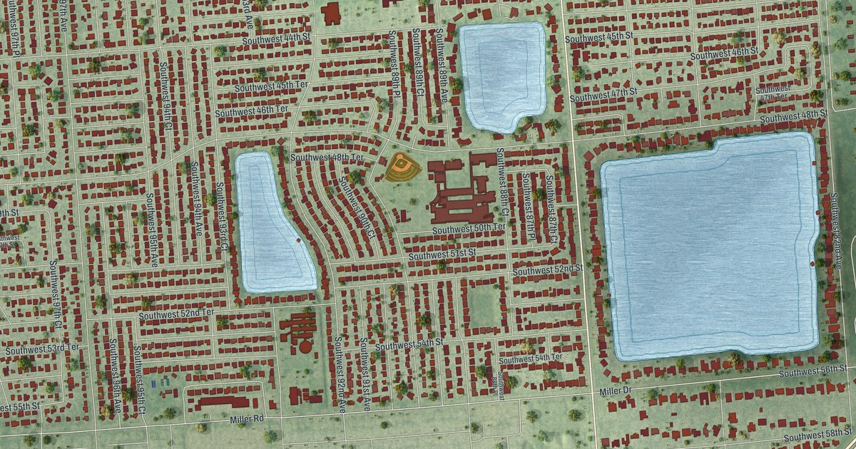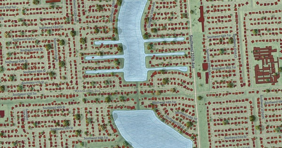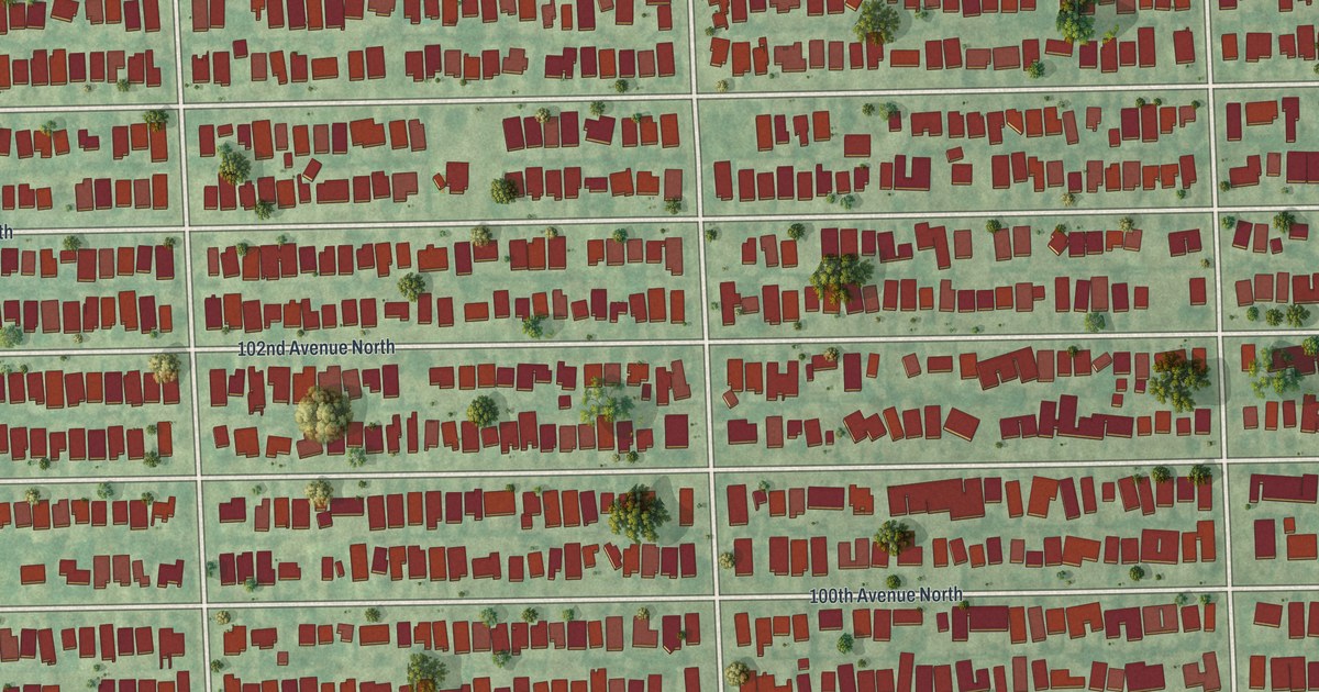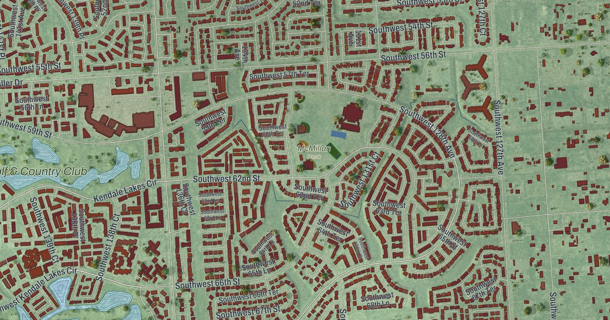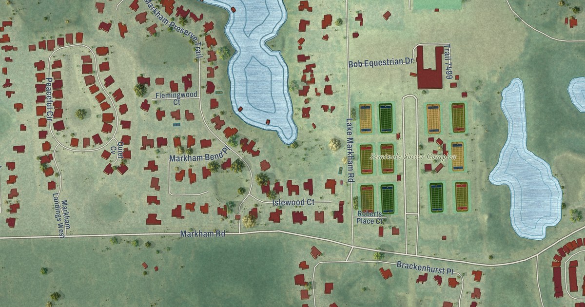
This beautifully detailed map of Markham, Florida was created in 2026 using aerial imagery combined with modern topographical, census, street and landmark data. It’s a one-of-a-kind view of Markham that combines accurate data with a vintage aesthetic. The map shows every building in its true location, many of the roads carry their names, and the shaded topographic relief shows the shape of the land.
Explore an aerial view of Markham, Florida
On the map you’ll find Seminole Soccer Complex, Wekiva Springs State Park, and Brackenhurst Place, along with Markham Road, Lake Markham Road, Markham Woods Road, County Highway 46A, Longwood Markham Road, South Sylvan Lake Drive, Cherry Ridge Drive, River Tree Circle, Shadowmoss Circle, and more. If you look closely you can even find your house accurately drawn in its correct location. Zoom in on the preview to look for yours.
Take a closer look at the Markham map
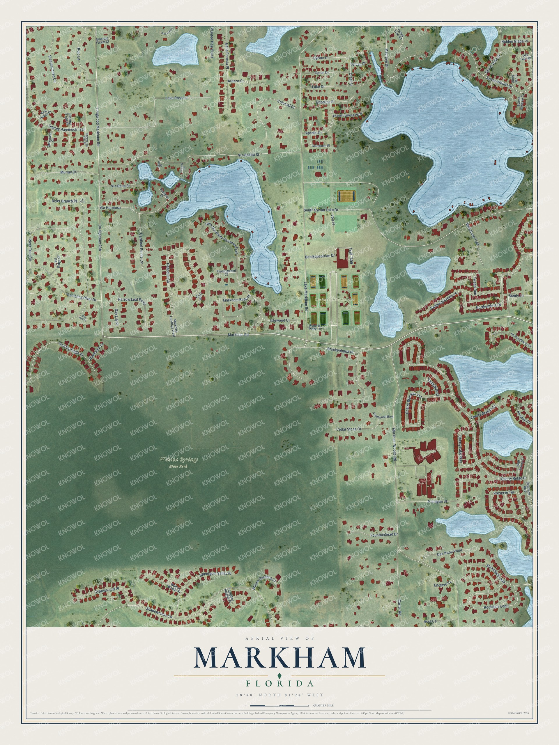
Names on this map
These names are printed on this map.
Places: Seminole Soccer Complex and Wekiva Springs State Park.
Streets and roads: Markham Road, Brackenhurst Place, Lake Markham Road, Markham Woods Road, Longwood Markham Road, South Sylvan Lake Drive, Cherry Ridge Drive, River Tree Circle, Shadowmoss Circle, Via Bonita Street, Northumbria Drive, Lake Markham Preserve Trail.
More street names, A to Z
Acre Court, Aprelle Drive, Arezzo Court, Bear Haven Court, Bella Foresta Place, Bob Equestrian Drive, Caledonia Place, Camphor Heights Place, Canal Drive, Cardinal Pointe Cv, Carter Road, Cedar Stone Court, Charrice Place, Cherry Blossom Terrace, Cherry Branch Court, Cherry Lake Way, Colonial Court, Crested Eagle Place, Crest Ridge Court, Crest Street, Cypress Loft Place, Day Lily Place, Emerald Forest Court, Enclave Cv, Fieldwood Boulevard, Flemingwood Court, Fountainhead Drive, Glade View Drive, Grand Cypress Point, Grey Bark Court, Hawksbill Lane, Heathrow Boulevard, Hedgesparrows Lane, Henley Downs Place, Hidden Glade Place, Islewood Court, Kersley Circle, Lake Drive, Lake Ross Lane, Leaf Court, Lugano Court, Markham Bend Place, Markham Landings West, Maureen Drive, Michigan Street, Murray Court, Narrow Leaf Point, Oak Glen Court, Oak Knoll Point, Osprey Hammock Trail, Painted Post Point, Peaceful Circle, Polo Lane, Preserve Terrace, Quiet Cv, Rambling River Drive, River Branch Place, Roberts Place Court, Rockdale Loop, Ross Lake Lane, Sandy Lane, Shimmering Pine Place, Short Oar Court, Soaring Eagle Place, Spikerush Court, Steeplechase Circle, Stonefield Loop, Sweetgum Valley Place, Sylvan Court, Sylvan Drive, Sylvan Reserve Cv, Sylvan Woods Drive, Tallow Tree Road, Tennyson Court, Trail 7499, Tuscany Court, Tweed Run, Venetian Court, Via Bella Street, Via Hermosa, Volt Place, Walnut Woods Place, Wild Cherry Court, Wild Rose Trail, Willow Gardens Court.
See it on a wall
The Markham map as a framed print. Swipe for more.


This beautifully detailed map of Markham makes an attractive addition to your office, library, or den, and it can even be used to teach children the geography and history of the area. It also makes a great gift for anyone who grew up in Markham or moved away. When you’re done exploring, click here to get your copy of the Markham map.