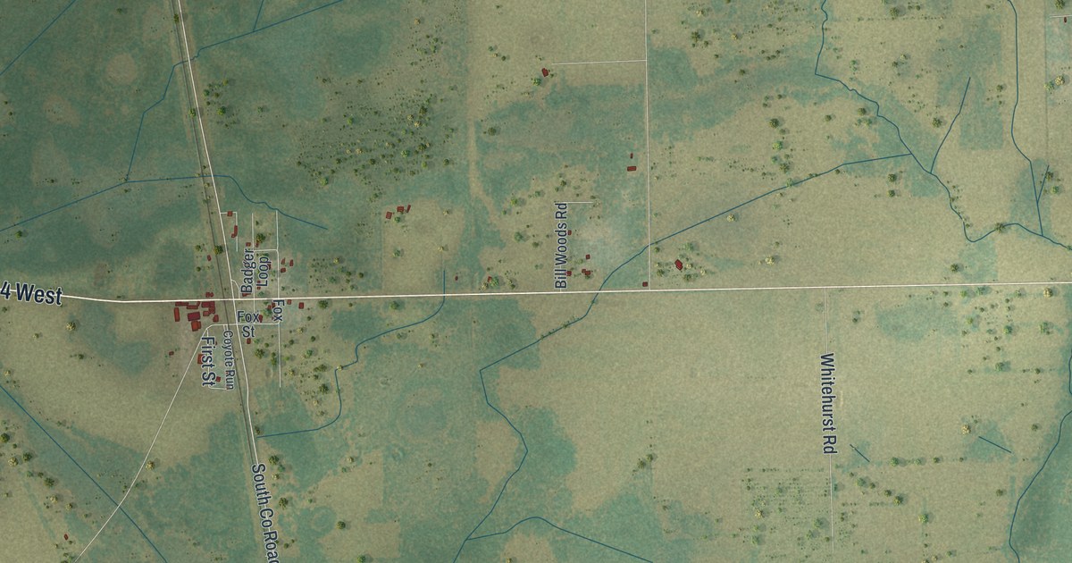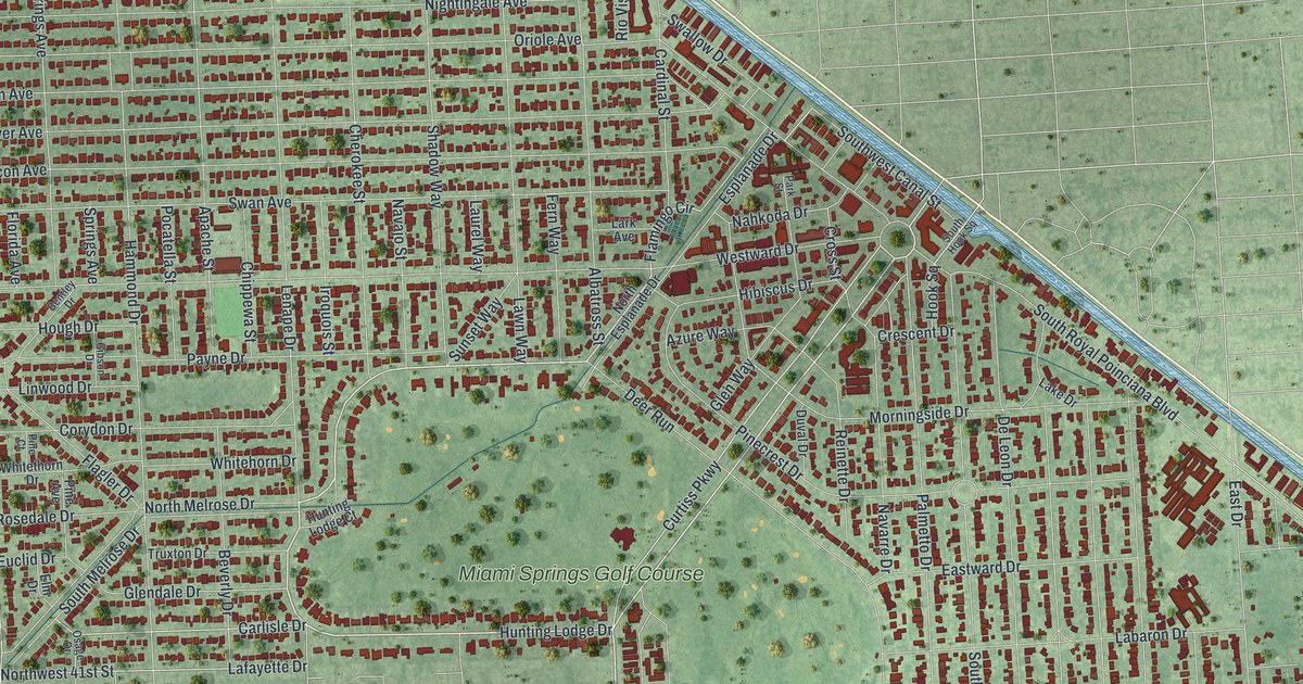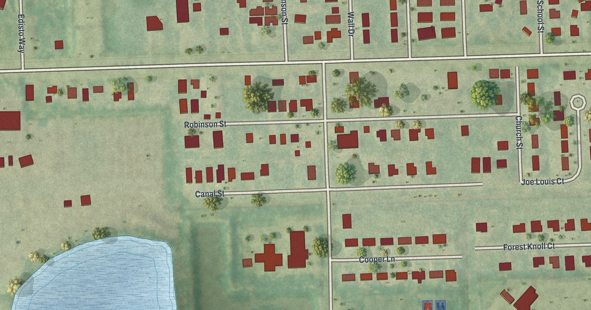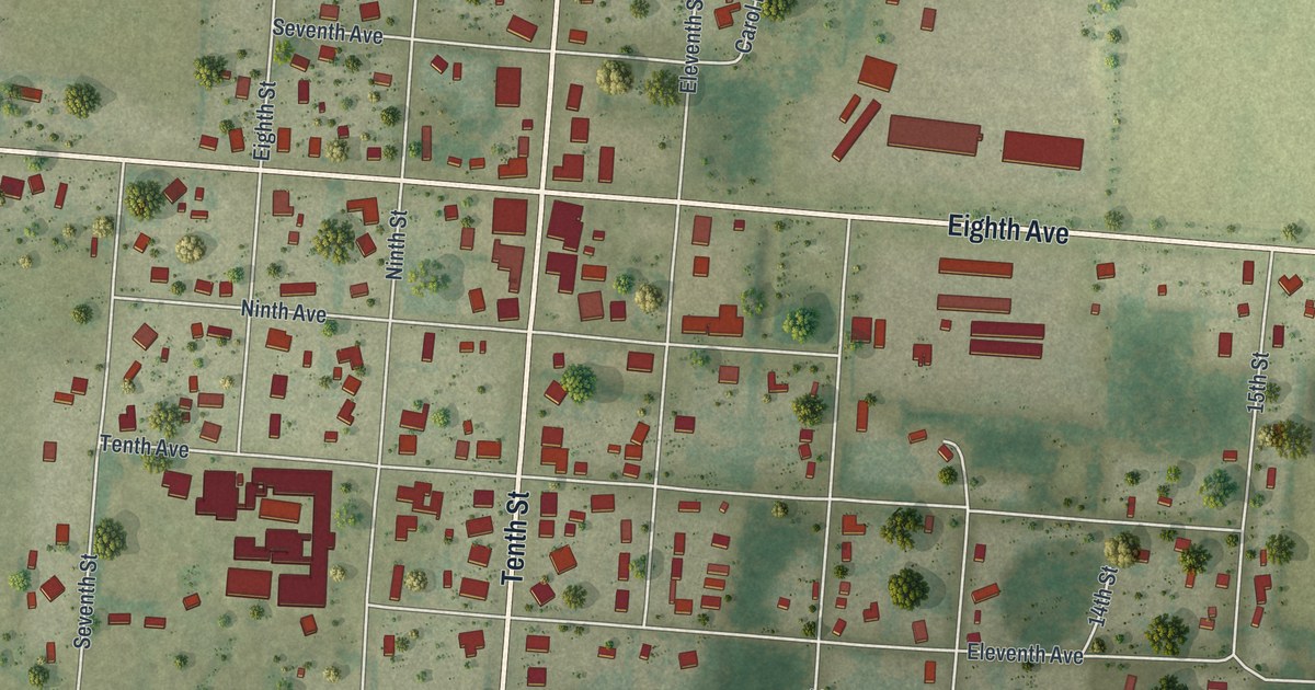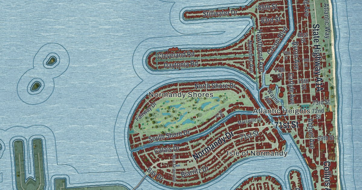
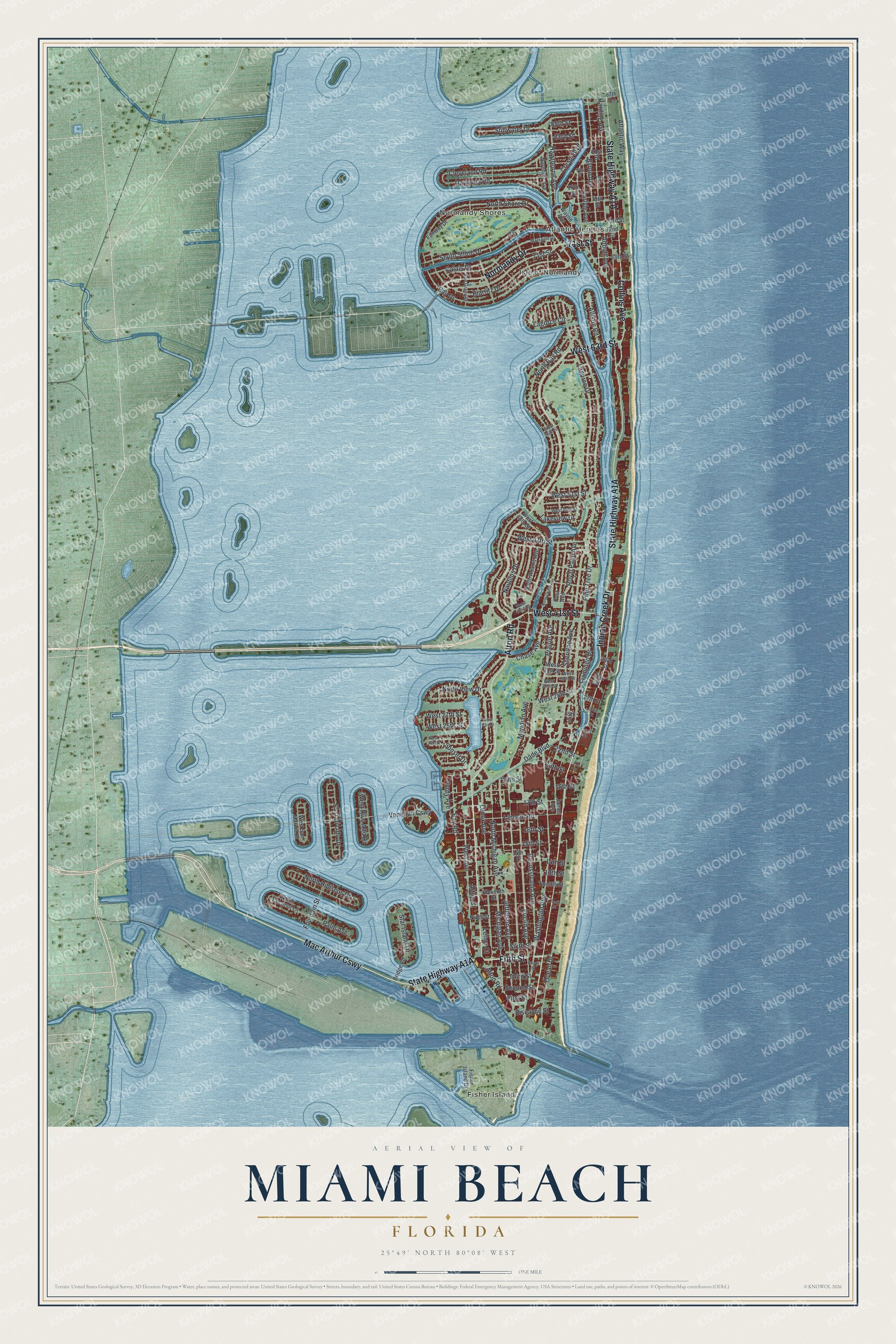
This beautifully detailed map of Miami Beach, Florida was created in 2026 using aerial imagery combined with modern topographical, census, street and landmark data. It’s a one-of-a-kind view of Miami Beach that combines accurate data with a vintage aesthetic. The map shows every building in its true location, many of the roads carry their names, and the shaded topographic relief shows the shape of the land.
Explore an aerial view of Miami Beach, Florida
On the map you’ll find Fisher Island, Normandy Shores, Atlantic Heights, Isle of Normandy, and Mac Arthur Cswy, along with Alton Road, State Highway A1A, Fifth Street, Indian Creek Drive, Collins Avenue, Normandy Drive, West 41st Street, and more. If you look closely you can even find your house accurately drawn in its correct location. Zoom in on the preview to look for yours.
Did You Know?
John S. Collins began building a bridge to link the island to the mainland. It was the longest wooden bridge in the world at the time. When his money ran out, Carl G. Fisher paid to finish it in return for land. The Collins Bridge opened on June 12, 1913, and set off the island’s first real estate boom.
Take a closer look at the Miami Beach map
Names on this map
These names are printed on this map.
Places: Fisher Island, Normandy Shores, Atlantic Heights and Isle of Normandy.
Streets and roads: Alton Road, Mac Arthur Causeway, Fifth Street, Indian Creek Drive, Collins Avenue, Normandy Drive, West 41st Street, 71st Street, West 63rd Street, North Bay Road, Pine Tree Drive, Lakeview Drive.
More street names, A to Z
13th Street, 14th Place, 14th Street, 15th Street, 16th Street, 17th Street, 18th Street, 19th Street, 20th Street, 21st Street, 22nd Street, 24th Street, 25th Street, 26th Street, 27th Street, 30th Street, 33rd Street, 69th Street, 72nd Street, 73rd Street, 75th Street, 77th Street, 78th Street, 79th Street, 81st Street, 83rd Street, 85th Street, 87th Terrace, Abbott Avenue, Allison Road, Alton Court, Atlantic Way, Bay Drive, Bay Road, Biarritz Drive, Biscayne Street, Bridge Road, Byron Avenue, Calais Drive, Carlyle Avenue, Chase Avenue, Cleveland Road, Crespi Boulevard, Dade Boulevard, Daytonia Road, East Di Lido Drive, Eleventh Street, Euclid Avenue, Fairway Drive, First Street, Fisher Island Drive, Flamingo Drive, Fountain Street, Fourth Street, Harding Avenue, Hawthorne Avenue, James Avenue, Jefferson Avenue, Lagorce Circle, Lagorce Drive, Lenox Avenue, Lenox Court, Lincoln Road, Marseille Drive, Meridian Avenue, Michigan Avenue, Nautilus Drive, Ninth Street, Noremac Avenue, North Adams Avenue, North Chase Avenue, North Coconut Lane, North Hibiscus Drive, North Michigan Avenue, North Shore Drive, North View Drive, Ocean Drive, Palm Avenue, Pennsylvania Avenue, Post Avenue, Prairie Avenue, Purdy Avenue, Ray Street, Royal Palm Avenue, Rue Granville, Second Street, Sheridan Avenue, Sixth Street, South Shore Drive, Star Island Drive, Stillwater Drive, Sunset Drive, Tenth Street, Third Street, Twelfth Street, Venetian Causeway, Washington Avenue, Wayne Avenue, West 23rd Street, West 24th Street, West 25th Street, West 27th Street, West 28th Street, West 29th Street, West 30th Street, West 31st Street, West 42nd Street, West 47th Street, West 48th Street, West 49th Street, West 51st Street, West 56th Street, West Avenue, West Rivo Alto Drive, West San Marino Drive.
See it on a wall
The Miami Beach map as a framed print. Swipe for more.


This beautifully detailed map of Miami Beach makes an attractive addition to your office, library, or den, and it can even be used to teach children the geography and history of the area. It also makes a great gift for someone who left Miami Beach and still calls it home. When you’re done exploring, click here to get your copy of the Miami Beach map.