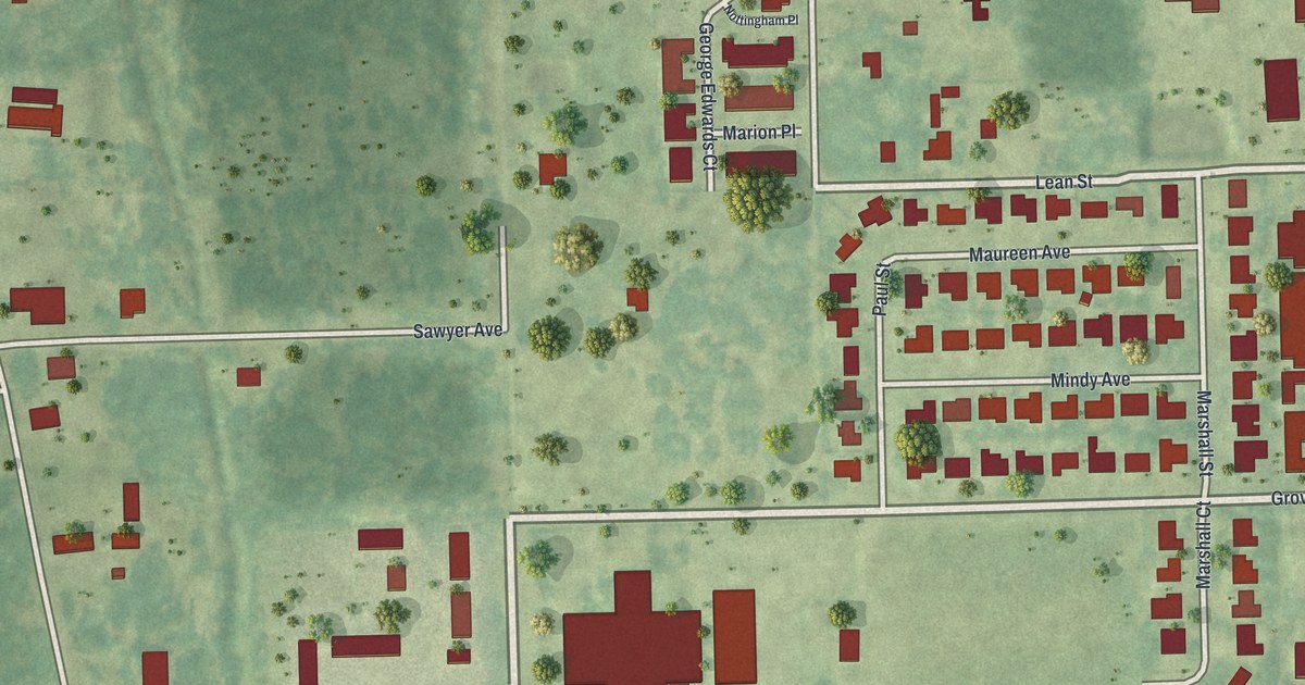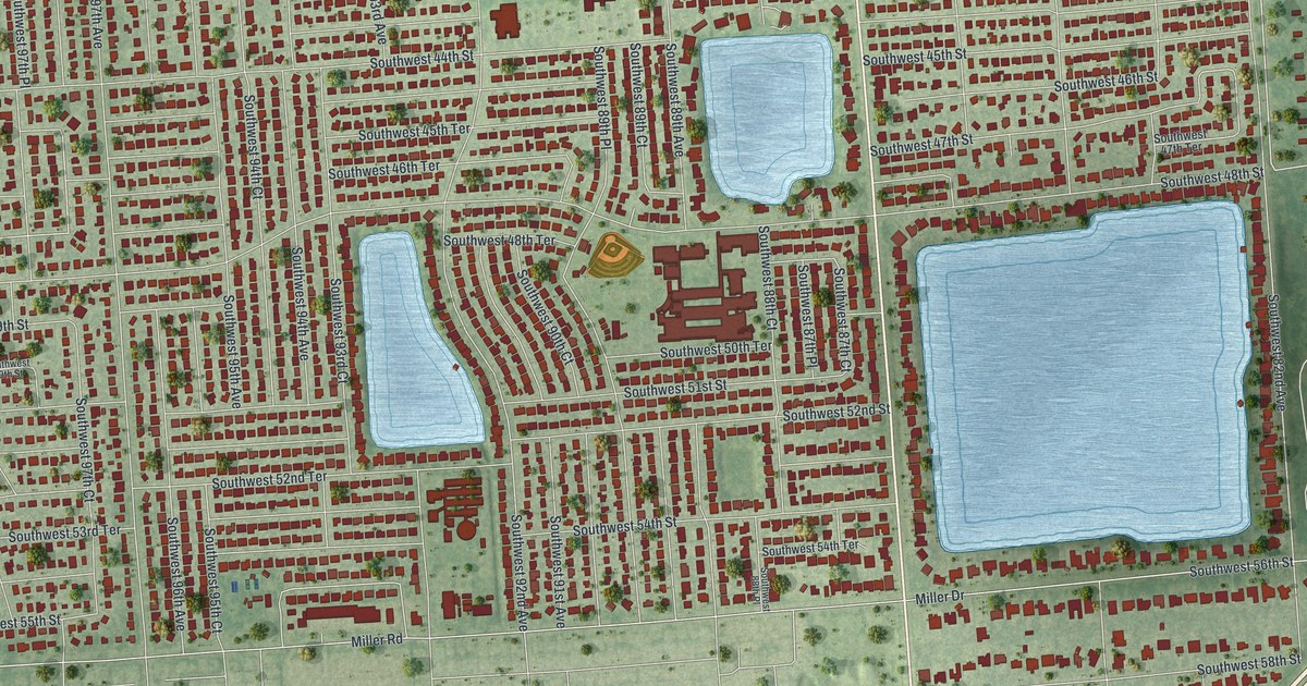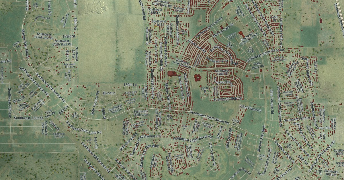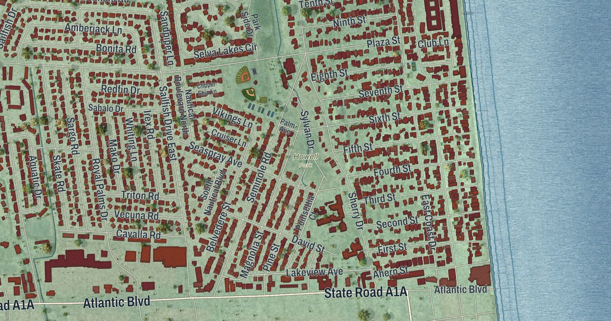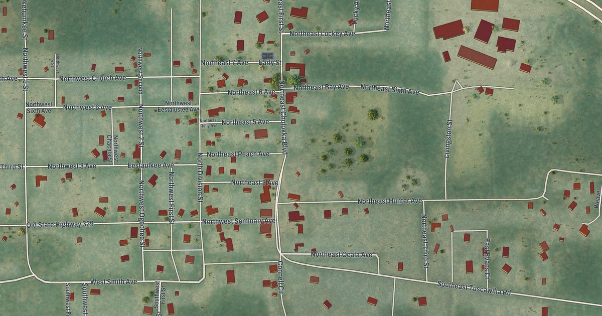
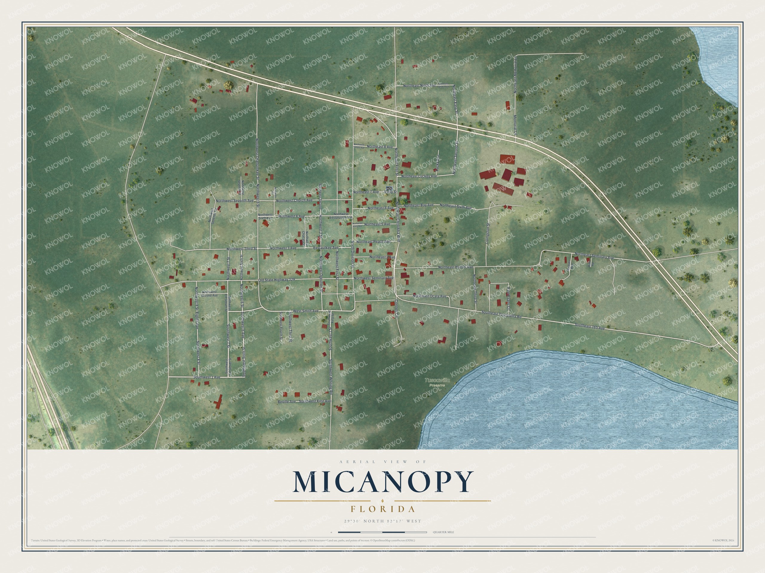
This beautifully detailed map of Micanopy, Florida was created in 2026 using aerial imagery combined with modern topographical, census, street and landmark data. It’s a one-of-a-kind view of Micanopy that combines accurate data with a vintage aesthetic. The map shows every building in its true location, many of the roads carry their names, and the shaded topographic relief shows the shape of the land.
Explore an aerial view of Micanopy, Florida
On the map you’ll find Tuscawilla Preserve, along with West Smith Avenue, Southwest Sixth Street, Southwest 7 Street, Northwest 6 Street, Northeast Cholokka Boulevard, Northeast First Street, Southwest First Avenue, Southwest 1 Avenue, Southwest 6 Avenue, Northeast Luckey Avenue, Southeast Tuscawilla Road, and more. If you look closely you can even find your house accurately drawn in its correct location. Zoom in on the preview to look for yours.
Did You Know?
Micanopy is the oldest community in inland Florida that has been lived in without a break. In 1821 it became the first distinct U.S. town in the Florida Territory. Early on it was called Wantons, after an original settler. In 1834 it took the name of Chief Micanopy, who lived about 60 miles south.
Take a closer look at the Micanopy map
Names on this map
These names are printed on this map.
Places: Tuscawilla Preserve.
Streets and roads: West Smith Avenue, Southwest Sixth Street, Southwest 7 Street, Northwest 6 Street, Northeast Cholokka Boulevard, Northeast First Street, Southwest First Avenue, Southwest 1 Avenue, Southwest 6 Avenue, Northeast Luckey Avenue, Southeast Tuscawilla Road, Northeast Ocala Avenue.
More street names, A to Z
Barr Road, Beville Avenue, Connell Circle, Early Street, East Evans Court, Eestaulkee Avenue, Eighth Avenue, Livingston Street, Lucky Avenue, Memorial Lane, North Division Street, Northeast 3 Avenue, Northeast 5 Avenue, Northeast 6 Avenue, Northeast 7 Avenue, Northeast 8 Avenue, Northeast Bay Avenue, Northeast Easy Street, Northeast Hunter Avenue, Northeast Memorial Lane, Northeast Ninth Avenue, Northeast Peach Avenue, Northeast Rally Avenue, Northeast Second Street, Northeast Seminary Avenue, Northeast Sixth Avenue, Northeast Third Street, Northeast Yallaha Avenue, Northwest 2 Street, Northwest 3 Avenue, Northwest 4 Street, Northwest 5 Street, Northwest 6 Avenue, Northwest 7 Street, Northwest 8 Street, Northwest Chacala Street, Northwest Church Avenue, Northwest Ed Glover Street, Northwest Eestalustee Avenue, Northwest First Street, Northwest Ogeohee Street, Northwest Okehumkee Street, Northwest Second, Northwest Second Avenue, Northwest Seminary Avenue, Northwest Seventh Avenue, Northwest Seventh Place, Northwest Seventh Terrace, Northwest Sixth Avenue, Northwest Sixth Street, Northwest Tahota Avenue, Northwest Third Street, Old State Highway 329, Southeast 165 Avenue, Southwest 1 Street, Southwest 8 Street, Southwest Ed Glover Street, Southwest First Street, Southwest Fourth Street, Southwest Third Street, Southwest Whiting Road, Weaver Run.
See it on a wall
The Micanopy map as a framed print. Swipe for more.


This beautifully detailed map of Micanopy makes an attractive addition to your office, library, or den, and it can even be used to teach children the geography and history of the area. It also makes a great gift for someone who left Micanopy and still calls it home. When you’re done exploring, click here to get your copy of the Micanopy map.