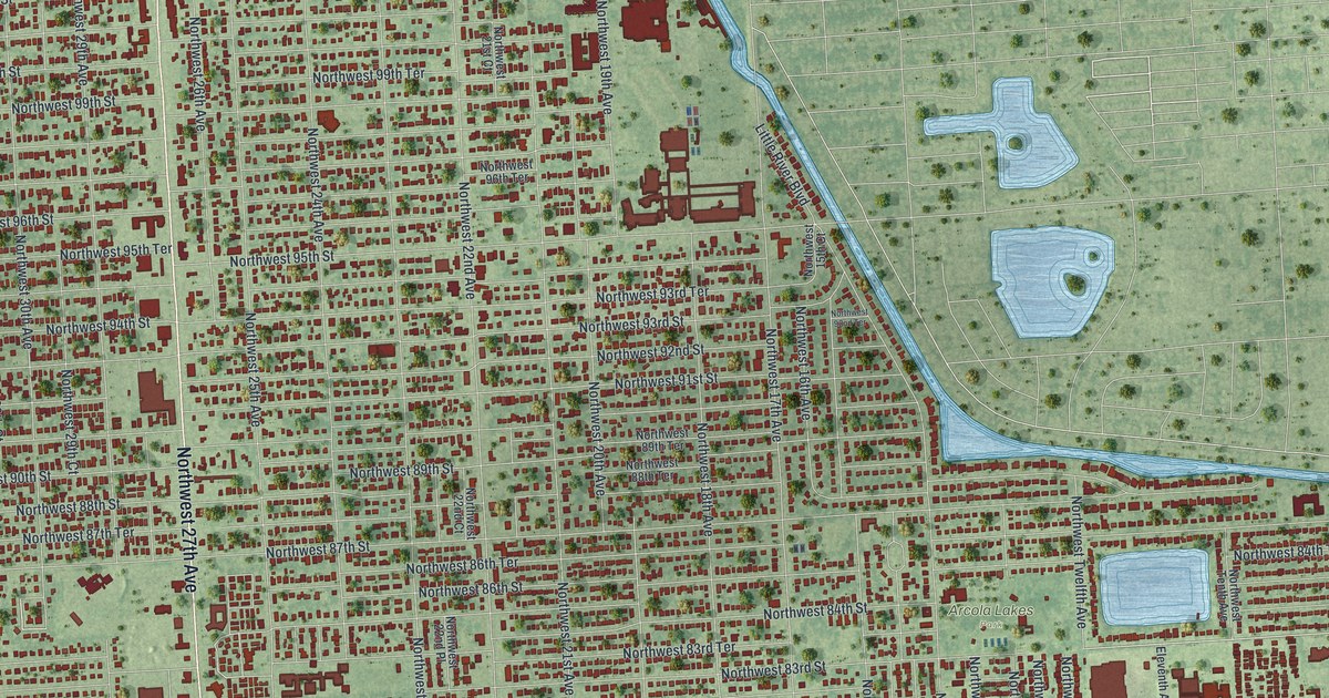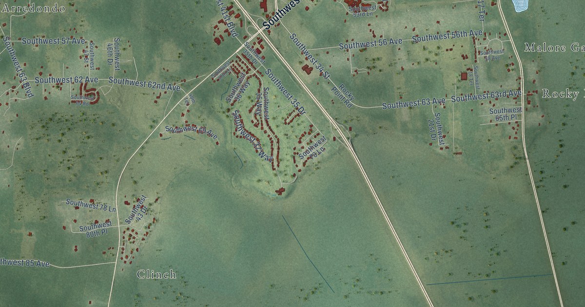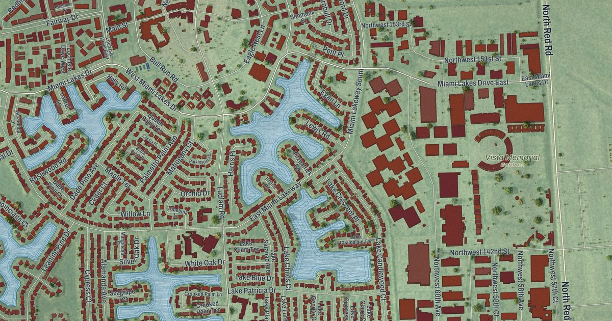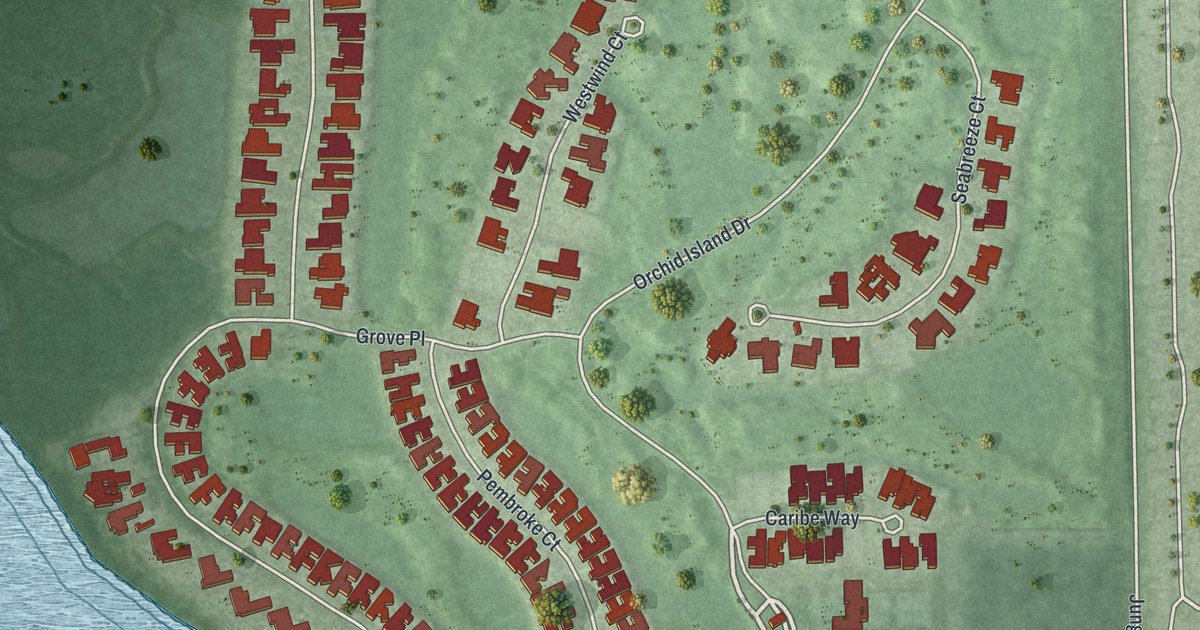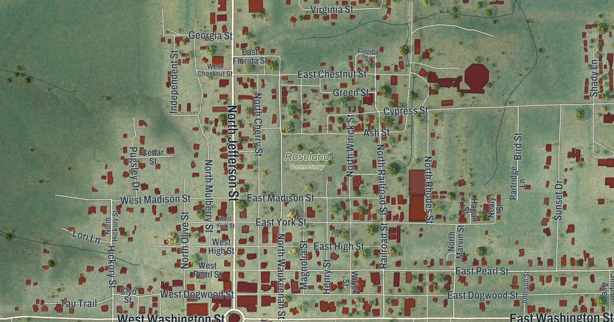
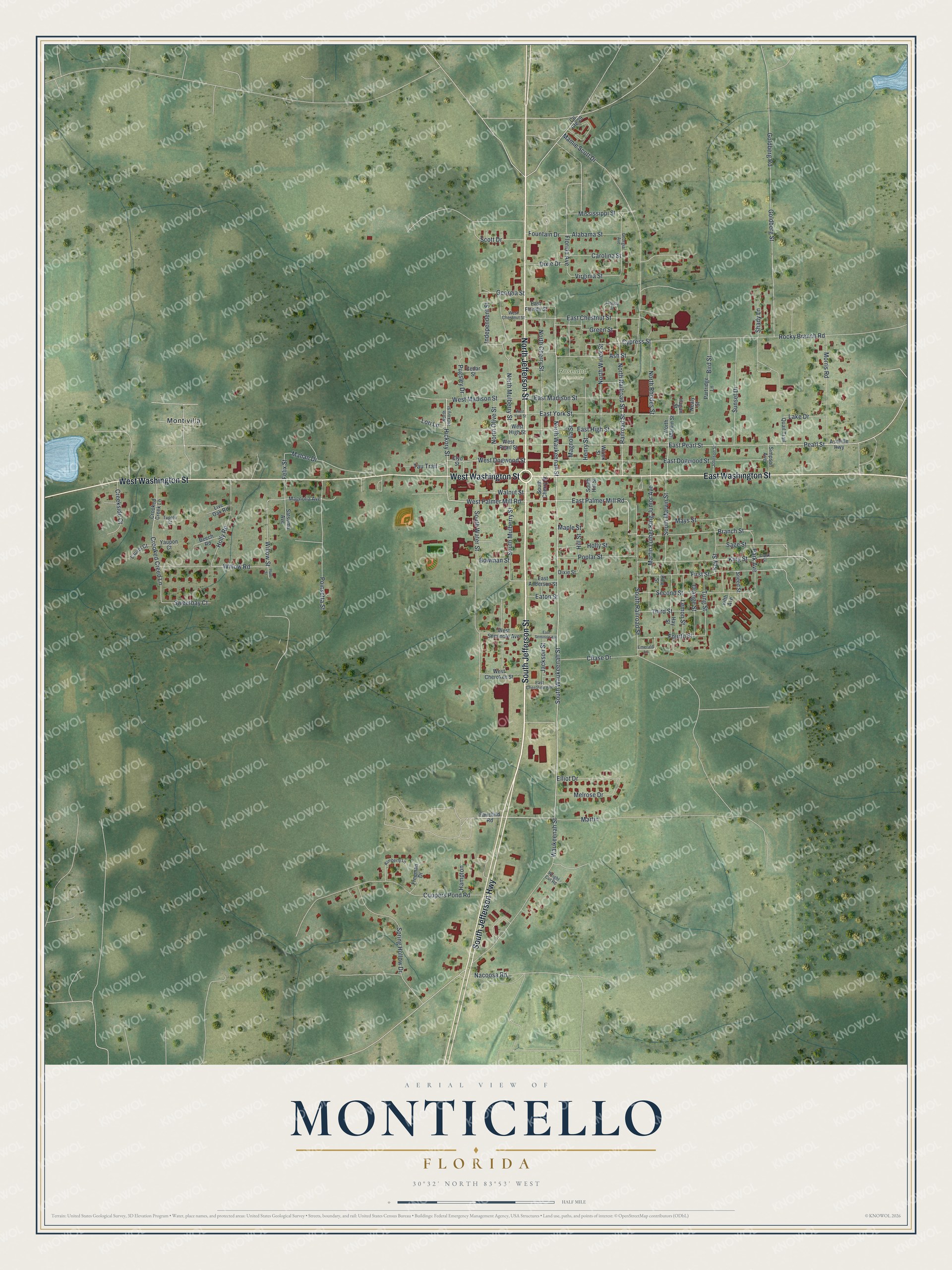
This beautifully detailed map of Monticello, Florida was created in 2026 using aerial imagery combined with modern topographical, census, street and landmark data. It’s a one-of-a-kind view of Monticello that combines accurate data with a vintage aesthetic. The map shows every building in its true location, many of the roads carry their names, and the shaded topographic relief shows the shape of the land.
Explore an aerial view of Monticello, Florida
On the map you’ll find Roseland Cemetery, Montivilla, and Martin, along with East Washington Street, West Washington Street, South Jefferson Street, North Jefferson Street, South Jefferson Highway, South Waukeenah Street, East Palmer Mill Road, West Palmer Mill Road, Hickory Street, and more. If you look closely you can even find your house accurately drawn in its correct location. Zoom in on the preview to look for yours.
Did You Know?
Monticello is the county seat of Jefferson County, named for Thomas Jefferson. The city takes its name from Monticello, his estate. The Jefferson County Courthouse was modeled on that famous house. The city was first settled in 1827, while Florida was still a territory.
Take a closer look at the Monticello map
Names on this map
These names are printed on this map.
Places: Roseland Cemetery and Montivilla.
Streets and roads: East Washington Street, West Washington Street, South Jefferson Street, North Jefferson Street, South Jefferson Highway, South Waukeenah Street, Martin, East Palmer Mill Road, West Palmer Mill Road, Hickory Street, North Waukeenah Street, North Railroad Street.
More street names, A to Z
Alabama Street, Ash Street, Ashville Highway, Beech Road, Bird Street, Bowman Street, Branch Street, Carolina Street, Cedar Street, Chase Drive, Clark Street, Clyo Street, Coopers Pond Road, County Route 29, Creekside Court, Crooked Creed Lane, Crooked Creek Lane, Cypress Street, Dixie Drive, Dixie Street, East Anderson Street, East Cherokee Avenue, East Chestnut Street, East Dogwood Street, East Florida Street, East High Street, East Madison Street, East Pearl Street, East Seminole Avenue, East York Street, Eaton Street, Elliot Drive, Emerald Lane, Fairchild Road, Felix Street, Fifth Avenue, First Street, Florida Avenue, Florida Street, Fountain Drive, Fourth Street, Freeman Drive, Georgia Avenue, Georgia Street, Goldberg Road, Goldberg Street, Green Street, Hagan Street, Hampton, Hay Street, Henry Street, Hill Street, Holly Road, Holly Street, Independent Street, Jackson Street, Johnson Street, Key Street, Kimberly Lane, King Street, Lake Drive, Laurel Court, Lemon Street, Live Oak Road, Lori Lane, Magnolia Avenue, Magnolia Street, Mahan Drive, Mamie Scott Drive, Maple Street, Martin Luther King Junior Avenue, Mays Street, Melrose Drive, Mississippi Street, Morris Road, Nacoosa Road, Nealy Street, North Cherry Street, North Hickory Street, North Marvin Street, North Mulberry Street, North Olive Street, North Rhodes Street, North Wirick Street, Orange Street, Park Avenue, Partridge Lane, Pearl Street, Pine Street, Plum Street, Poinsetta Street, Poplar Street, Pugsley Drive, Quail Trail, Railroad Street, Rocky Branch Road, Sage Street, Satsuma Avenue, Scott Drive, Second Street, Shady Lane, Simpson Avenue, Sneed Street, South Cherry Street, South Hill Street, South Marvin Street, South Mulberry Street, South Railroad Street, South Water Street, Spring Hollow Drive, Sunset Drive, Sweetbay Court, Tau Trail, Third Street, Tung Street, Tupelo Court, Virginia Street, Walnut Street, Waukeenah Street, West Cherokee Street, West Chestnut Street, West Dogwood Street, West High Street, West Madison Street, West Pearl Street, West Seminole Avenue, West York Street, Willow Road, Willow Street, Wirick Street, Wright Cut Road, Yaupon Court.
See it on a wall
The Monticello map as a framed print. Swipe for more.


This beautifully detailed map of Monticello makes an attractive addition to your office, library, or den, and it can even be used to teach children the geography and history of the area. It also makes a great gift for someone who left Monticello and still calls it home. When you’re done exploring, click here to get your copy of the Monticello map.