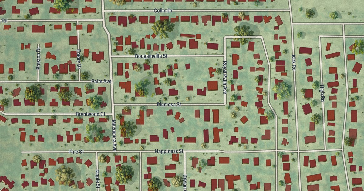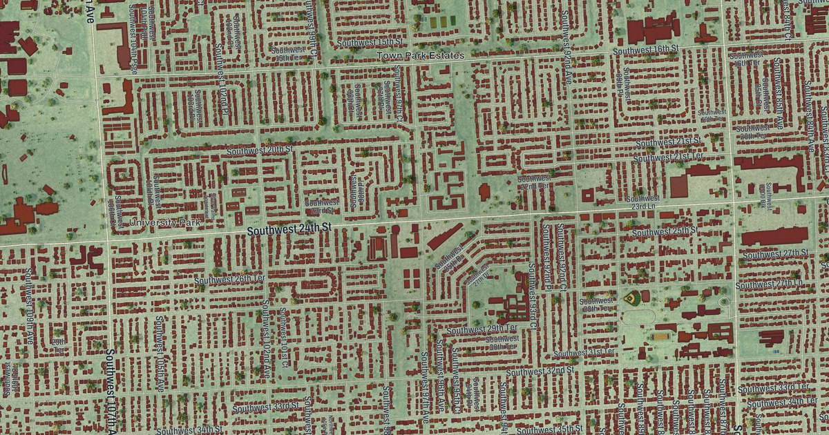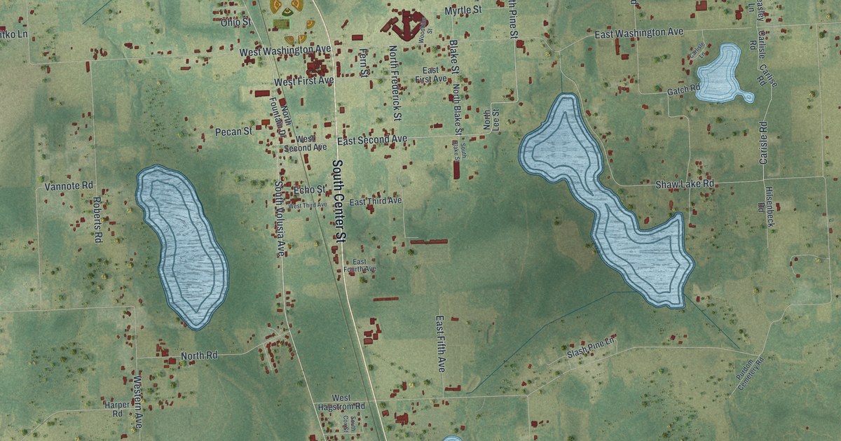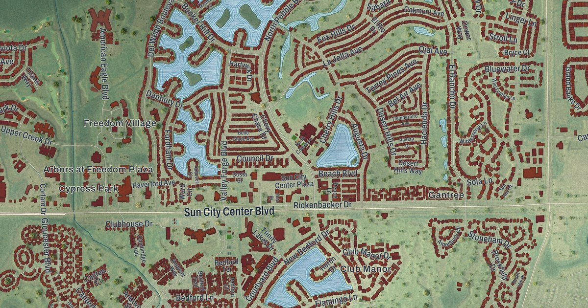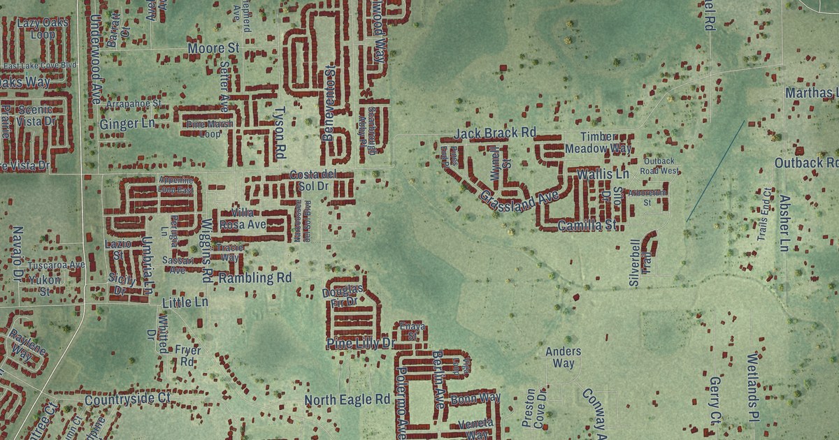
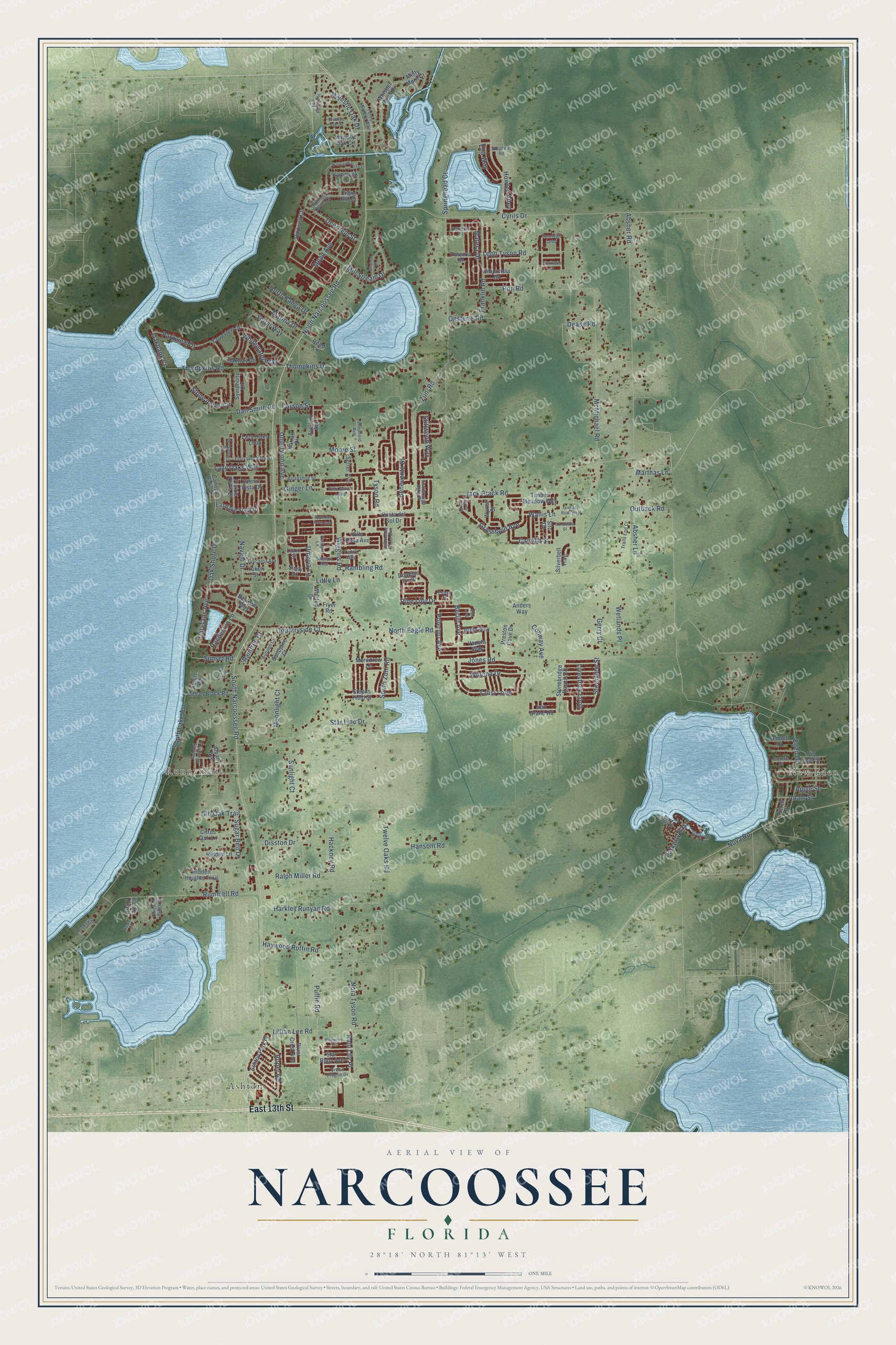
This beautifully detailed map of Narcoossee, Florida was created in 2026 using aerial imagery combined with modern topographical, census, street and landmark data. It’s a one-of-a-kind view of Narcoossee that combines accurate data with a vintage aesthetic. The map shows every building in its true location, many of the roads carry their names, and the shaded topographic relief shows the shape of the land.
Explore an aerial view of Narcoossee, Florida
On the map you’ll find New Eden, Runnymede, and Ashton, along with East 13th Street, North Narcoossee Road, South Narcoossee Road, Eden Drive, Sunset Road, Puffin Road, Jones Road, Jack Brack Road, Zuni Road, and more. If you look closely you can even find your house accurately drawn in its correct location. Zoom in on the preview to look for yours.
Did You Know?
From Internet Archive: "In 1895 he came to Florida, settling first at Narcoossee, where he became associated with Hamilton Disston in the orange growing business, handling also the sales of the Disston properties."
Narcoossee is a community in Osceola County.
Take a closer look at the Narcoossee map
Names on this map
These names are printed on this map.
Places: New Eden, Runnymede and Ashton.
Streets and roads: East 13th Street, North Narcoossee Road, South Narcoossee Road, Eden Drive, Sunset Road, Puffin Road, Jones Road, Jack Brack Road, Zuni Road, Cyrils Drive, Absher Road, Rummell Road.
More street names, A to Z
Absher Lane, Adam Street, Albany Avenue, Anders Way, Appenine Loop East, Apple Street, Arboretum Street, Arborvista Drive, Arrapahoe Street, Ashton Park Place, Autumn Court, Avellino Avenue, Barletta Drive, Barratt Court, Benevento Street, Bennett Court, Berlin Avenue, Big Cypress Drive, Bluepoint Street, Bonnie Court, Bonn Way, Boston Avenue, Calasans Avenue, Camilla Street, Canopy Oaks Court, Carson Street, Chisholm Ridge Court, Citrus Oak Lane, Conway Avenue, Costa del Sol Drive, Countryside Court, Coveview Drive, Crane Hill Court, Crooked Oak Circle, Dan Smith Road, Dease Road, Deerfield Street, Disston Drive, Douglas Fir Drive, East Lake Cove Boulevard, Eastlake Vista Drive, Ella Way, Enaya Street, Fig Leaf Street, Forest Breeze Way, Franklin Road, Fryer Road, Gerry Court, Ginger Lane, Grassland Avenue, Green Dragon Drive, Hackney Road, Hammock, Hammock Pointe Court, Hansom Road, Harkley Runyan Road, Hartwell Court, Hasker Circle, Hasker Parkway, Haywood Ruffin Road, Hidden Heights Trail, Hidden Lane, Howley Alley, Iron Brand Road, Ketch Road, Lazio Street, Lazy Oaks Loop, Lazy Oaks Way, Leon Tyson Road, Lillian Black Road, Lillian Lee Road, Little Lane, Livestock Loop, Majestic Oak Circle, Majestic Oak Drive, Marina Drive, Marthas Lane, Matera Drive, McMichael Road, Mead Avenue, Meredrew Lane, Mill Stream Drive, Misty Morn Court, Moonlight Court, Moore Street, Narcoossee del Sol Boulevard, Navajo Drive, Nora Tyson Road, North Eagle Road, North Kaliga Drive, Nova Road, Oakbank Court, Oak Shore Drive, Oakway Drive, Oesterle Road, Old Oak Trail, Outback Road, Outback Road West, Parkview Drive, Parkway East, Perch Drive, Perugia Lane, Pine Island Drive, Pine Lilly Drive, Pine Marsh Loop, Pines End Place, Polermo Avenue, Potenza Drive, Prairie Oaks Court, Preston Cove Drive, Rachel Lin Lane, Rain Lily Place, Raintree Court, Ralph Miller Road, Rambling Road, Raylene Way, Redd Lane, River Crest Avenue, Ron Road, Rookery Drive, Roper Road, Sandpine Court, Sassari Avenue, Scarbrough Abby Place, Scenic Vista Drive, Setter Avenue, Shannin Drive, Shepherd Avenue, Sicily Drive, Silo Drive, Silverbell Trail, South Lake Avenue, South Zuni Road, Spiral Way, Springhead Court, Starboard Drive, Star Line Drive, Star Ruby Avenue, Steerview Street, Stephens Road, Stephs Field Street, Stillwood Way, Stone Acres Circle, Stonebridge Ranch Road, Sugar Belt Drive, Sunkissed Drive, Sunlight Court, Sunridge Loop, Symphony Circle, Talisi Loop, Tall Pines Circle, Thompkins Drive, Thompkins Road, Timber Meadow Way, Tracie Way, Trails End Court, Tuscaroa Avenue, Twelve Oaks Road, Twisted Branch Lane, Tyson Road, Umbria Lane, Underwood Avenue, Veneta Way, Viga Loop, Villa Rosa Avenue, Wallis Lane, Waterside Vista Lane, Wetlands Place, Whisper Wind Drive, Whitewater Way, Whitted Drive, Wiggins Road, Winona Drive, Wynell Street, Yukon Street.
See it on a wall
The Narcoossee map as a framed print. Swipe for more.


This beautifully detailed map of Narcoossee makes an attractive addition to your office, library, or den, and it can even be used to teach children the geography and history of the area. It also makes a great gift for anyone with Narcoossee roots. When you’re done exploring, click here to get your copy of the Narcoossee map.