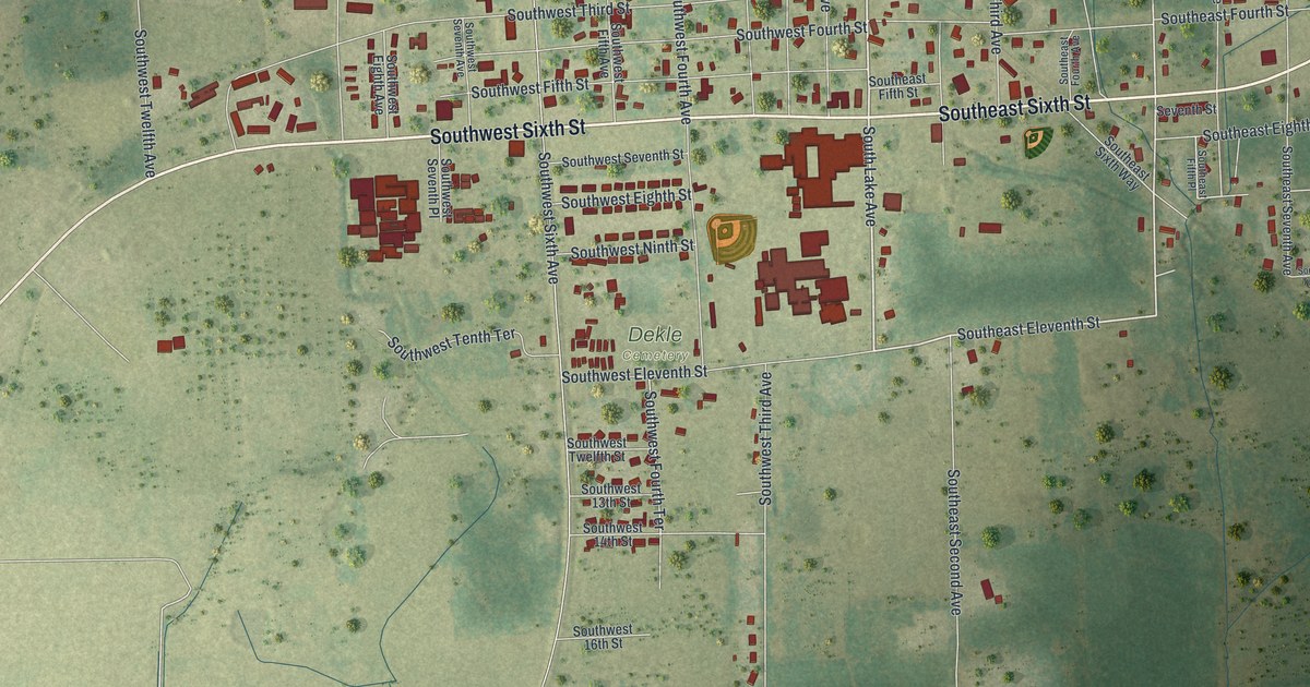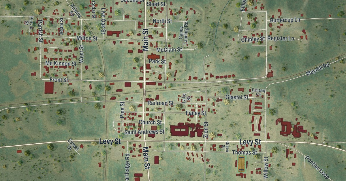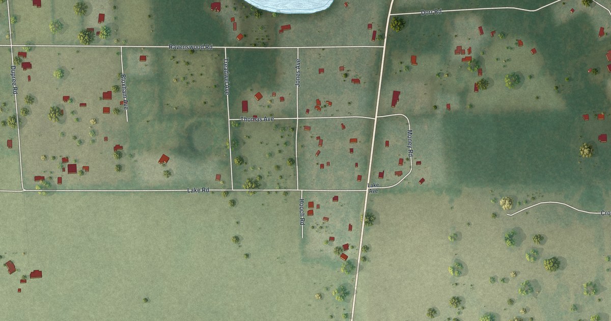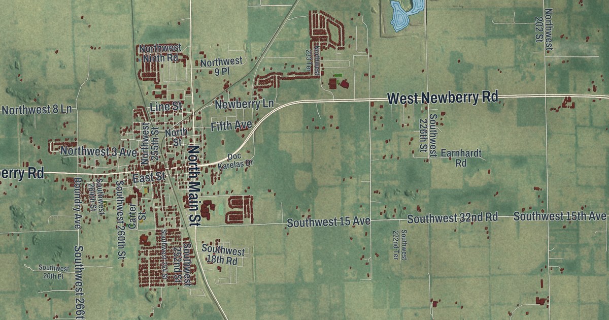
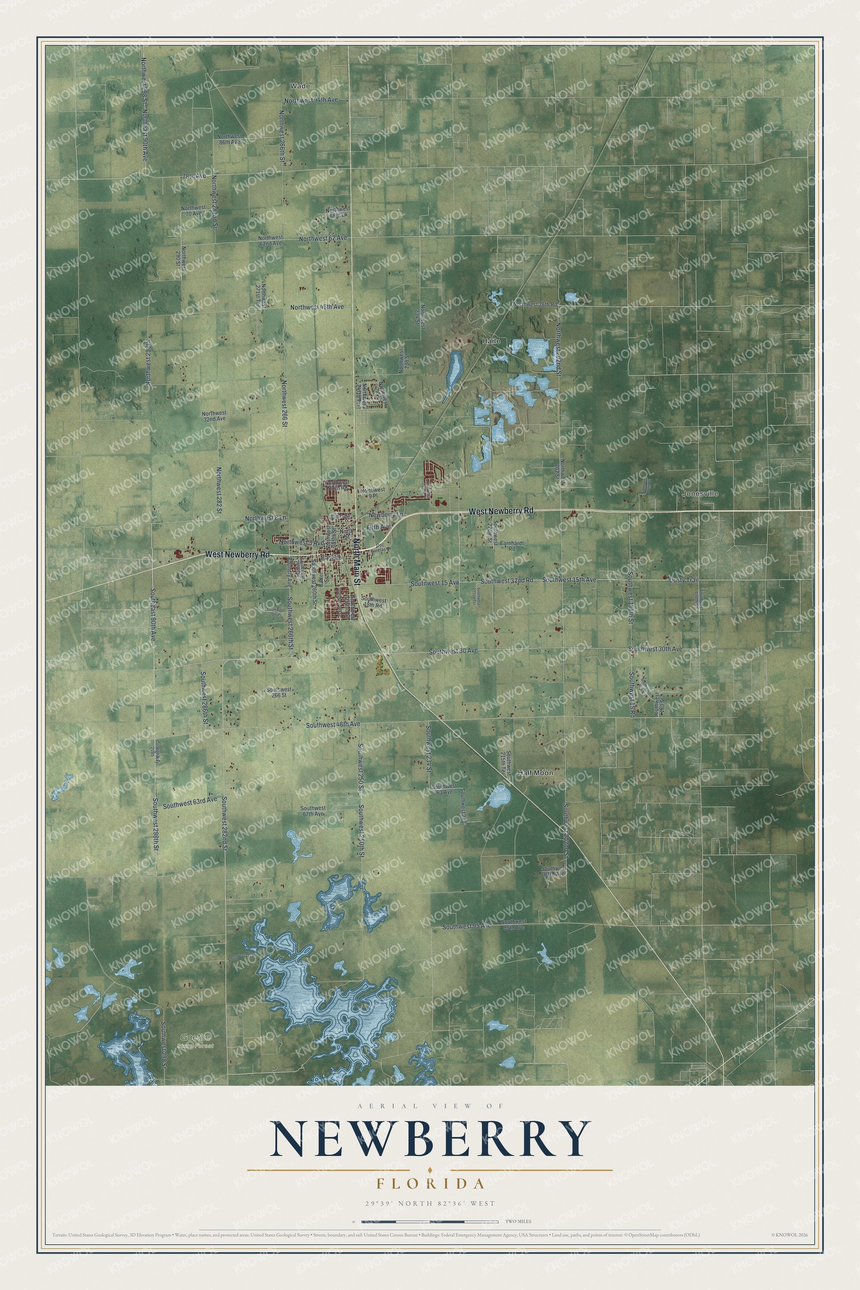
This beautifully detailed map of Newberry, Florida was created in 2026 using aerial imagery combined with modern topographical, census, street and landmark data. It’s a one-of-a-kind view of Newberry that combines accurate data with a vintage aesthetic. The map shows every building in its true location, many of the roads carry their names, and the shaded topographic relief shows the shape of the land.
Explore an aerial view of Newberry, Florida
On the map you’ll find Wade, Jonesville, Goethe State Forest, Haile, and Half Moon, along with West Newberry Road, North Main Street, Southwest 282nd Street, Southeast 90th Avenue, Southwest 298th Street, Southwest 266th Street, Line Street, and more. If you look closely you can even find your house accurately drawn in its correct location. Zoom in on the preview to look for yours.
Did You Know?
Newberry grew as a mining town after phosphate was found nearby in the 1880s. By 1896, fourteen mines worked around it. The trade ended abruptly in 1914, when war was declared on Germany, its main customer. The town turned to farming and became known for watermelons, honored with a festival since 1946.
Take a closer look at the Newberry map
Names on this map
These names are printed on this map.
Places: Wade, Jonesville, Goethe State Forest, Haile and Half Moon.
Streets and roads: West Newberry Road, North Main Street, Southwest 282nd Street, Southeast 90th Avenue, Southwest 298th Street, Southwest 266th Street, Line Street, Southwest 32nd Road, Southwest 46th Avenue, East Street, Southwest 30 Avenue, Southwest 30th Avenue.
More street names, A to Z
78th Avenue, Boundry Avenue, Carter Street, County Highway 2085, Doc Karelas Drive, Dusty Trail, Earnhardt Road, Fifth Avenue, Newberry Lane, Northeast 90th Avenue, North Street, Northwest 3 Avenue, Northwest 8 Lane, Northwest 9 Place, Northwest 32nd Avenue, Northwest 36th Road, Northwest 46th Avenue, Northwest 62 Avenue, Northwest 62nd Avenue, Northwest 68th Lane, Northwest 70 Avenue, Northwest 86th Avenue, Northwest 94th Avenue, Northwest 182nd Street, Northwest 202 Street, Northwest 202nd Street, Northwest 233 Terrace, Northwest 234 Street, Northwest 238 Street, Northwest 244 Street, Northwest 247th Terrace, Northwest 255th Street, Northwest 266 Street, Northwest 266th Street, Northwest 271st Terrace, Northwest 282 Street, Northwest 282nd Street, Northwest 290 Street, Northwest 298 Street, Northwest 298th, Northwest Ninth Road, Southwest 15 Avenue, Southwest 15 Road, Southwest 15th Avenue, Southwest 18th Road, Southwest 20th Place, Southwest 42 Lane, Southwest 63 Avenue, Southwest 63rd Avenue, Southwest 67th Avenue, Southwest 83rd Avenue, Southwest 95 Avenue, Southwest 95th Avenue, Southwest 114 Place, Southwest 170th Street, Southwest 180 Street, Southwest 186th Street, Southwest 202nd Street, Southwest 215th Terrace, Southwest 222nd Terrace, Southwest 226, Southwest 226th Street, Southwest 234 Street, Southwest 250 Street, Southwest 250th Street, Southwest 252nd Street, Southwest 254 Street, Southwest 260th Street, Southwest 264th Street, Southwest 266 Street, Southwest 286th Street, Southwest 298 Street.
See it on a wall
The Newberry map as a framed print. Swipe for more.


This beautifully detailed map of Newberry makes an attractive addition to your office, library, or den, and it can even be used to teach children the geography and history of the area. It also makes a great gift for anyone with Newberry roots. When you’re done exploring, click here to get your copy of the Newberry map.