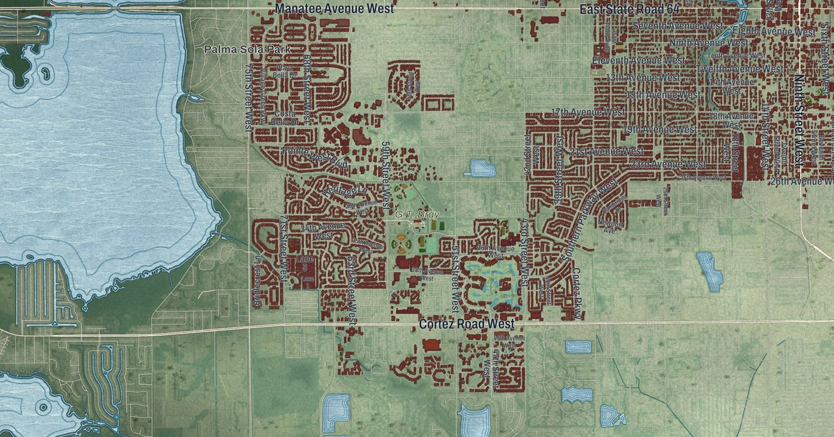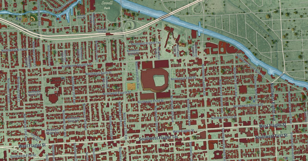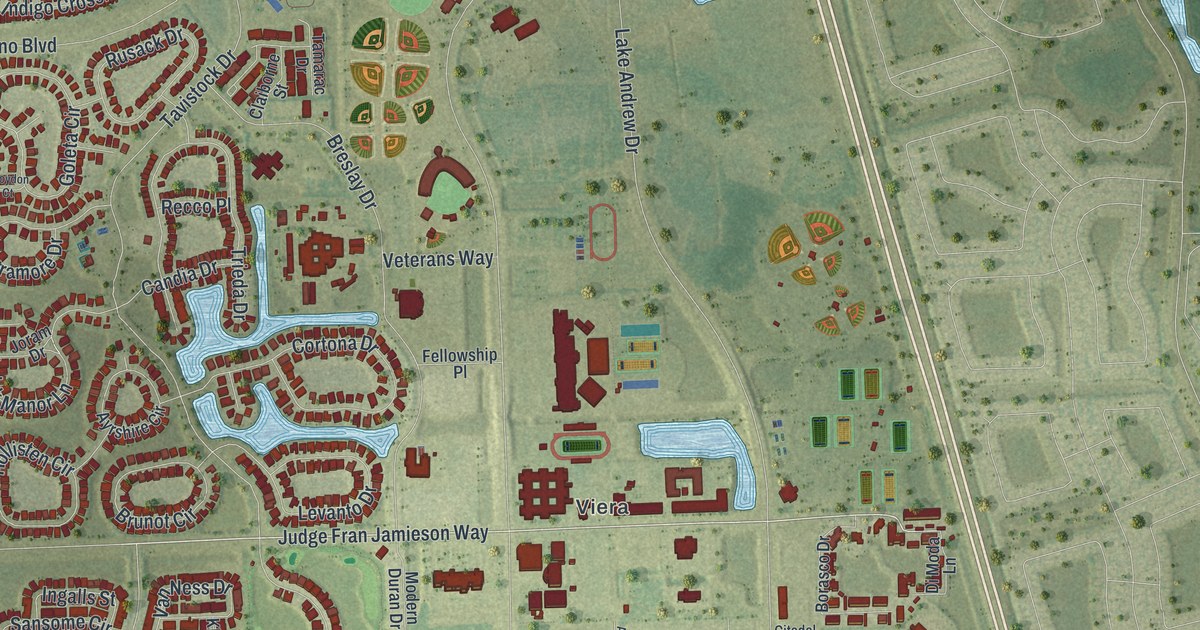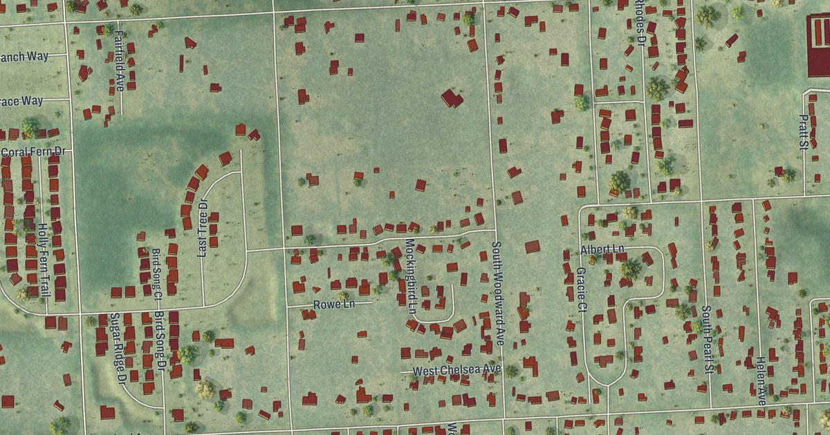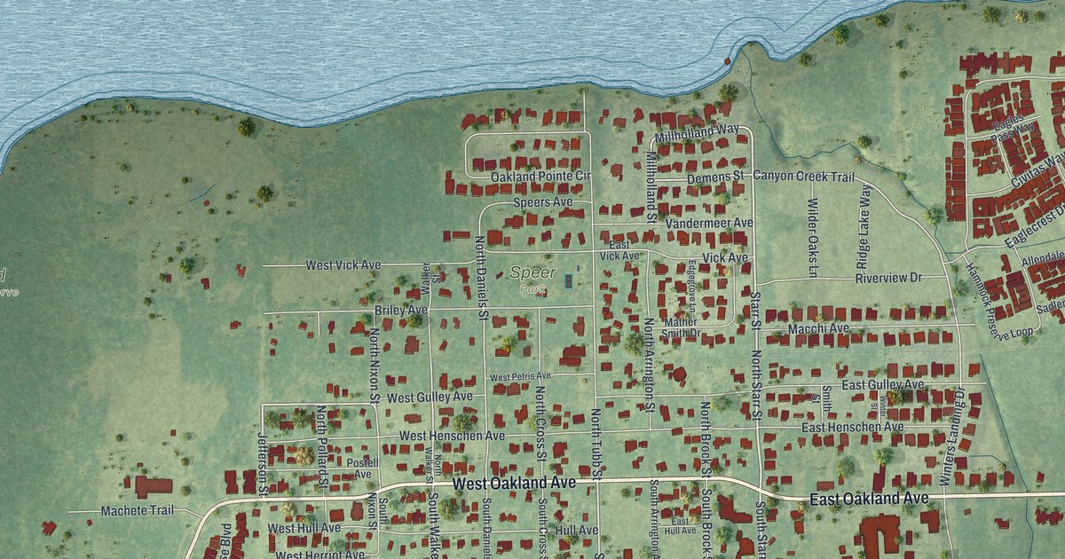
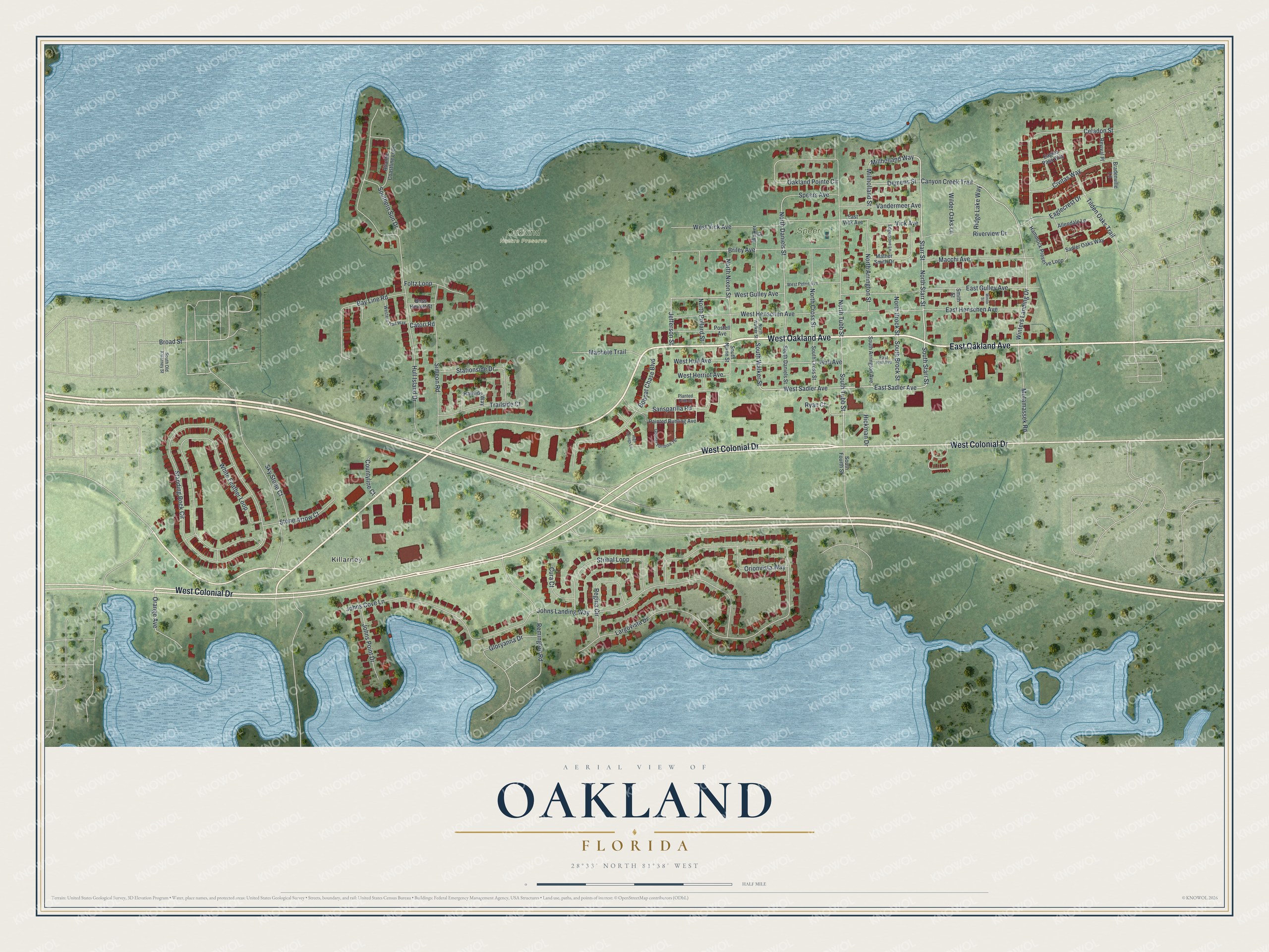
This beautifully detailed map of Oakland, Florida was created in 2026 using aerial imagery combined with modern topographical, census, street and landmark data. It’s a one-of-a-kind view of Oakland that combines accurate data with a vintage aesthetic. The map shows every building in its true location, many of the roads carry their names, and the shaded topographic relief shows the shape of the land.
Explore an aerial view of Oakland, Florida
On the map you’ll find Killarney, Oakland Nature Preserve, and Speer Park, along with East Oakland Avenue, West Oakland Avenue, West Colonial Drive, Jefferson Street, North Starr Street, Starr Street, East Sadler Avenue, South Starr Street, West Sadler Avenue, and more. If you look closely you can even find your house accurately drawn in its correct location. Zoom in on the preview to look for yours.
Did You Know?
James Gamble Speer bought every acre from Lake Apopka to Johns Lake and settled there in 1857. The Oakland post office opened in 1860. During the Civil War it was the only post office still working inside today’s Orange County, since Orlando’s office was shut from 1861 to 1866.
Take a closer look at the Oakland map
Names on this map
These names are printed on this map.
Places: Killarney, Oakland Nature Preserve and Speer Park.
Streets and roads: East Oakland Avenue, West Oakland Avenue, West Colonial Drive, Jefferson Street, North Starr Street, Starr Street, East Sadler Avenue, South Starr Street, West Sadler Avenue, Millholland Way, West Gulley Avenue, South Walker Street.
More street names, A to Z
Allendale Lane, Atlantic Coastline Loop, Bay Line Road, Bobcat Chase Boulevard, Boss Hewett Street, Bradenville Lane, Briley Avenue, Broad Street, Canyon Creek Trail, Catori Road, Celadon Street, Civitas Way, Countyline Court, Cura Court, Demens Street, Eaglecrest Drive, Eagles Pass Way, East Gulley Avenue, East Henschen Avenue, East Hull Avenue, East Vick Avenue, Edgegrove Lane, Foltz Loop, Gloryanna Drive, Gopher Tortoise Terrace, Hammock Preserve Loop, Hickman Drive, High Springs Lane, Hull Avenue, Hull Island Drive, Johns Cove Lane, Johns Landing Way, Johns Point Drive, Largovista Drive, Macchi Avenue, Machete Trail, Mather Smith Drive, Millholland Street, Motamassek Road, North Arrington Street, North Brock Street, North Cross Street, North Daniels Street, North Nixon Street, North Pollard Street, North Tubb Street, North Walker Street, Oakland Pointe Circle, Orange Avenue, Orionvista Way, Painted Bunting Avenue, Planted Pine Street, Postell Avenue, Railside Way, Regina Circle, Remington Road, Revival Place, Ridge Lake Way, Riverview Drive, Ryan Court, Sadler Oaks Way, Sansparilla Road, Simeon Road, Sky Stone Court, Smith Street, South Arrington Avenue, South Brock Street, South Cross Street, South Daniels Street, Southern Sun Drive, South Fourth Street, South Nixon Street, South Old Killarney Street, South Tubb Street, Speers Avenue, Standing Rock Circle, Stationside Drive, Stone Arrow Court, Strihal Loop, Tilden Oaks Trail, Trailside Court, Vandermeer Avenue, Vick Avenue, Walker Street, Western Trail Way, West Henschen Avenue, West Herriot Avenue, West Hull Avenue, West Petris Avenue, West Vick Avenue, White Feather Loop, Wilder Oaks Lane, Winters Landing Drive, Winter Street.
See it on a wall
The Oakland map as a framed print. Swipe for more.


This beautifully detailed map of Oakland makes an attractive addition to your office, library, or den, and it can even be used to teach children the geography and history of the area. It also makes a great gift for anyone who grew up in Oakland or moved away. When you’re done exploring, click here to get your copy of the Oakland map.