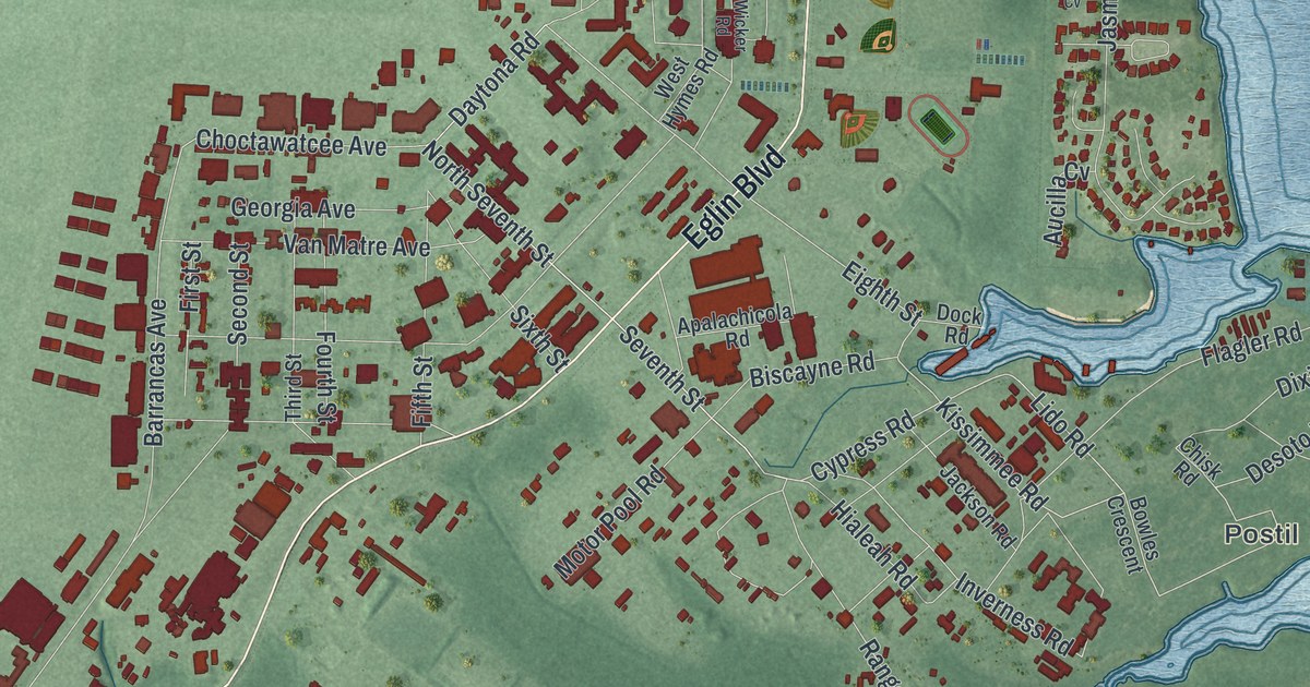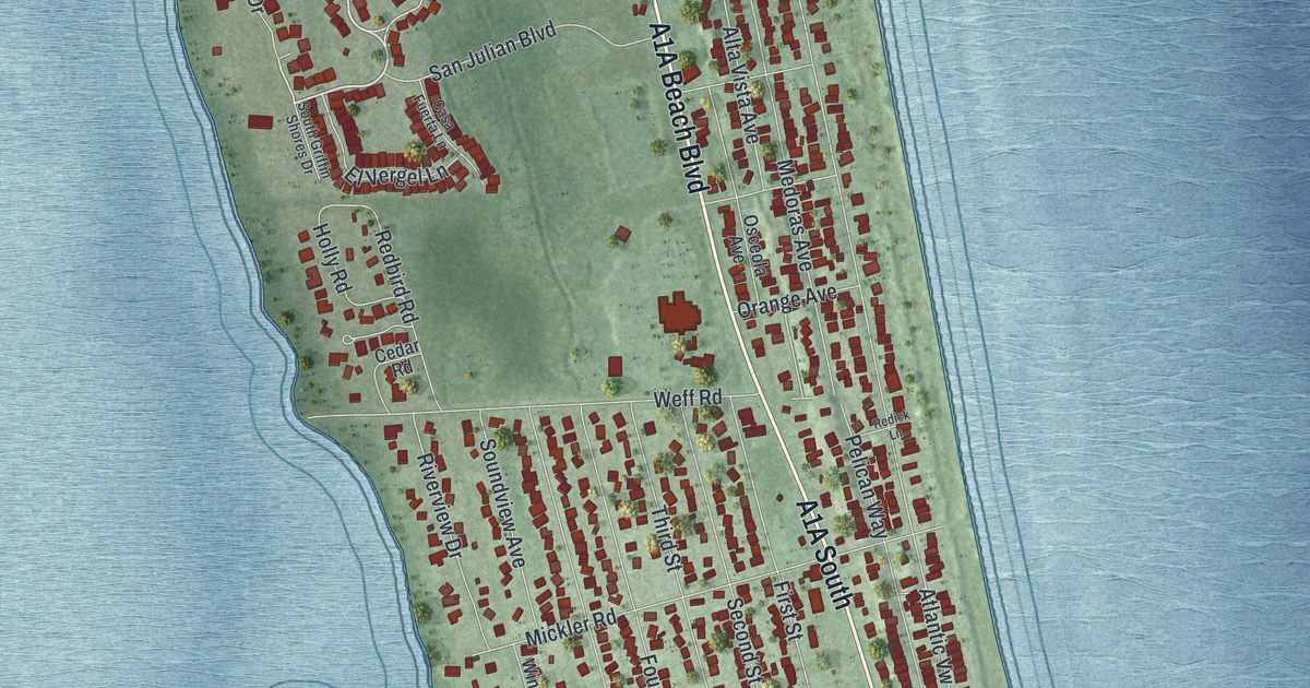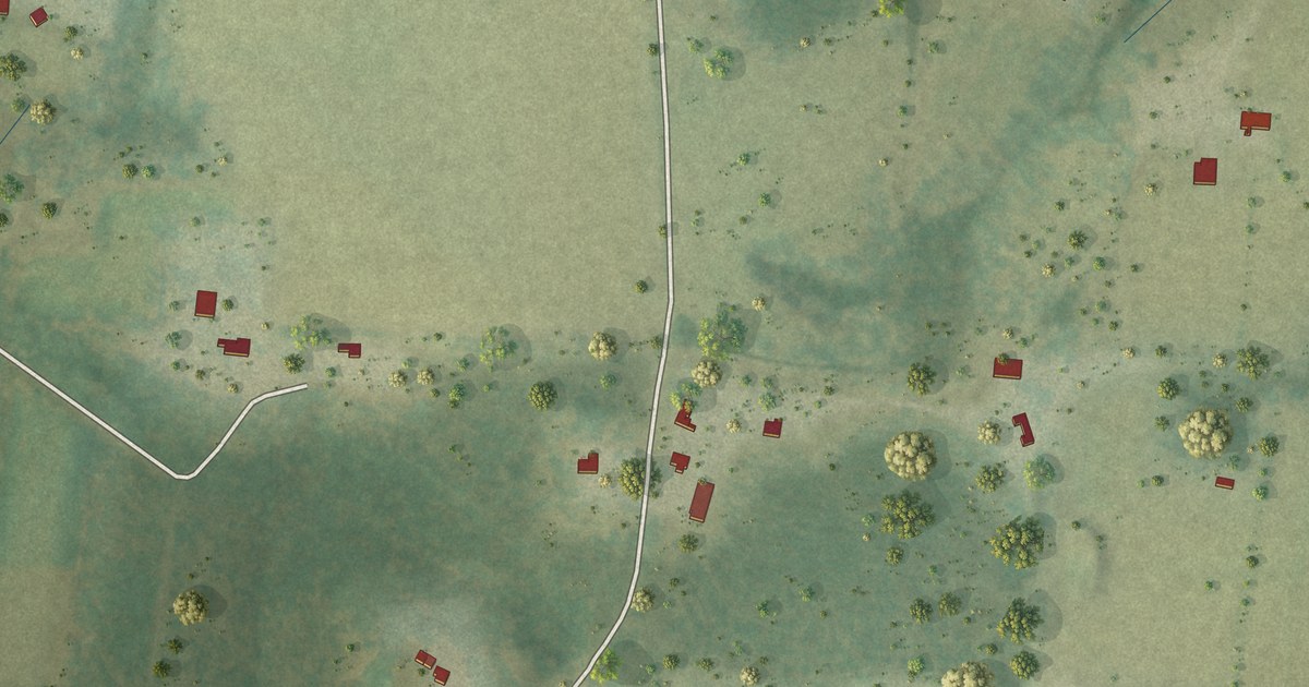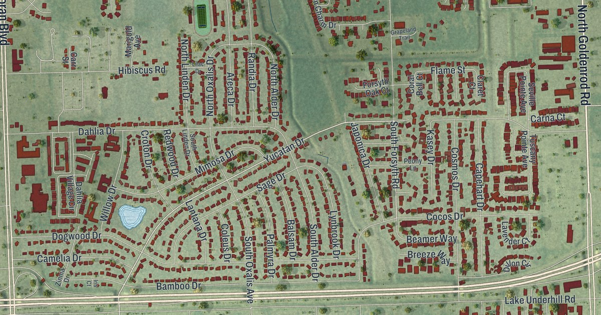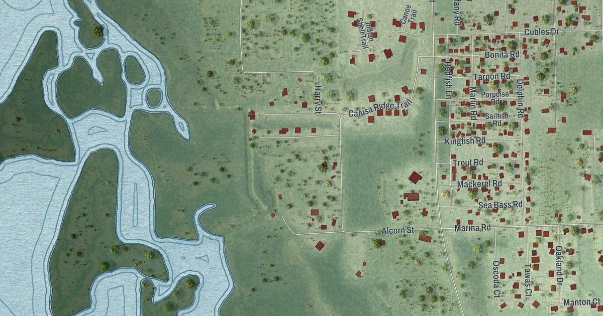
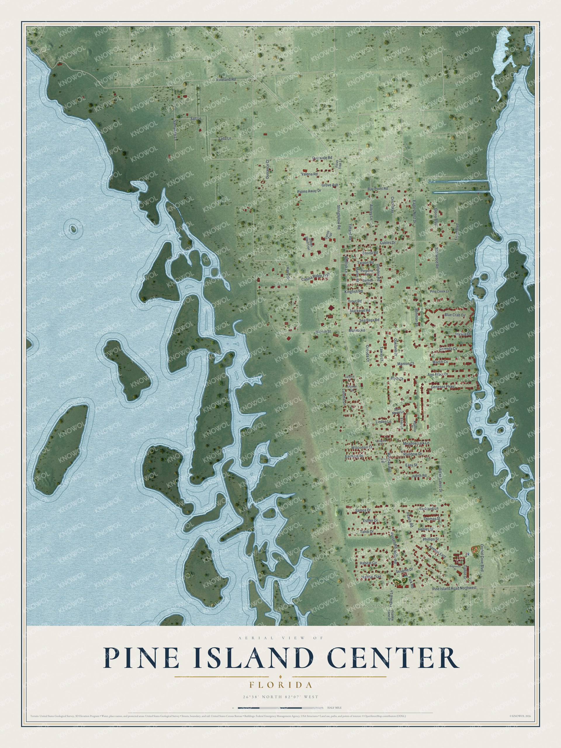
This beautifully detailed map of Pine Island Center, Florida was created in 2026 using aerial imagery combined with modern topographical, census, street and landmark data. It's a modern aerial view of Pine Island Center in Lee County, Florida, that combines modern data with a vintage aesthetic. The roads feature printed names, and if you look closely you can find your exact house accurately shown in its correct location.
Explore an aerial view of Pine Island Center, Florida
On this map you'll find Pinewood Trails Park, Harry Street, Valeria Road, Calusa Ridge Trail, Marina Road, Luloma Lane, Holly Road, Sesame Drive, Wausau Avenue, Durrance Road, Stringfellow Road, Pineland Road, and more. Each red shape is a building, so zoom in on the preview and look for yours.
Pine Island Center is a community in Lee County. The Census Bureau counted 1,942 people here in 2020. Pine Island Center sits about 3 miles southeast of Pineland, 3 miles west of Matlacha and 4 miles south of Bokeelia. The map prints the town name in its title panel, with the coordinates below it.
Take a closer look at the Pine Island Center map
Names on this map
These names are printed on this map.
Places: Pinewood Trails Park.
Streets and roads: Harry Street, Valeria Road, Calusa Ridge Trail, Marina Road, Luloma Lane, Holly Road, Sesame Drive, Wausau Avenue, Durrance Road, Stringfellow Road, Pineland Road, Lada Lane.
More street names, A to Z
Alcorn Street, Ann Arbor Drive, Arden Lakes Drive, Argentine Court, Aubrey Lane, Avenue East, Bay Point Road, Birdsong Lane, Blue Crab Circle, Blyth Court, Bohman Lane, Bomar Lane, Bonita Road, Canoe Trail, Cardinal Lane, Cristi Way, Cubles Drive, Dolphin Road, Durrance Court, Eagles Nest Drive, Eastling Road, Easy Street, Esther Drive, Ficus Tree Lane, Flint Lane, Frankie Lane, Frankie Lane Drive, Genesee Parkway, Gloria Boulevard, Grove Avenue, Habitat Circle, Habitat Trail, Henley Street, Indian Shell Trail, Judith Road, Kingfish Road, Linden Lane, Mackerel Road, Manton Court, Marina Drive, Marlin Road, Martin Cv, Meadow Lark Lane, Oakland Drive, Orchid Cove Boulevard, Oscoda Court, Palms Away Drive, Park Road, Peatre Road, Phillips Street, Pine Creek Lane, Pine Island Road Northwest, Porpoise Road, Rainbow Drive, Redfish Lane, Ridgewood Drive, Russell Road, Sailfish Road, Saint Marie Lane, Salt Lane, Samadani Lane, Samoa Drive, Sea Bass Road, Serenity Cv, Sherwood Road, Springfield Avenue, Tahiti Drive, Tarpon Road, Tawas Court, Thomas Street, Tiffany Road, Tipton Drive, Trend Boulevard, Trout Road, Villas Way, Wisconsin Street.
See it on a wall
The Pine Island Center map as a framed print. Swipe for more.


Created by KNOWOL in 2026. The buildings are small red shapes, the roads carry their printed names, and shaded relief shows the shape of the land. The title panel reads "AERIAL VIEW OF PINE ISLAND CENTER, FLORIDA" with 26°38' NORTH 82°07' WEST.
It suits a den, a classroom or a front hall, and it makes a gift for anyone with Pine Island Center roots. Open the preview and find the block you know. See sizes and frames for the Pine Island Center map.