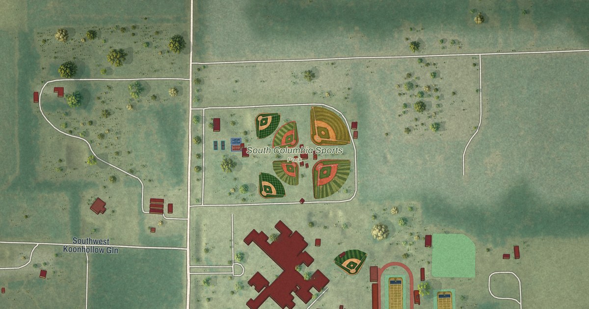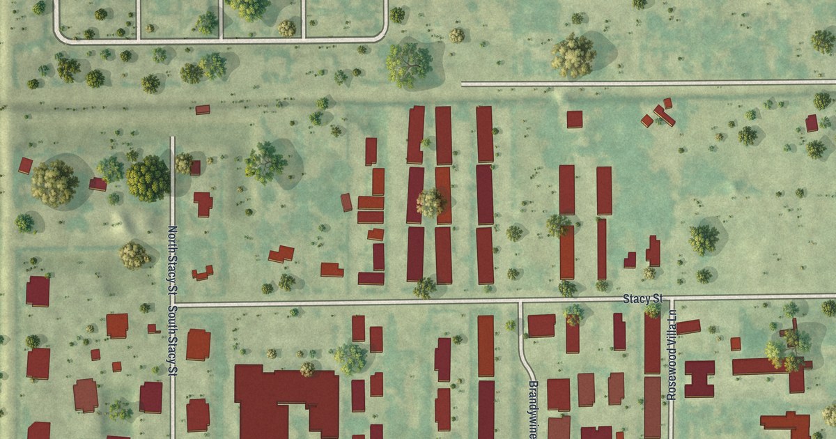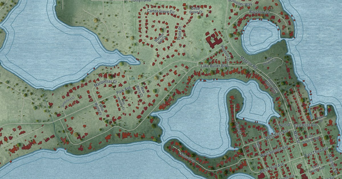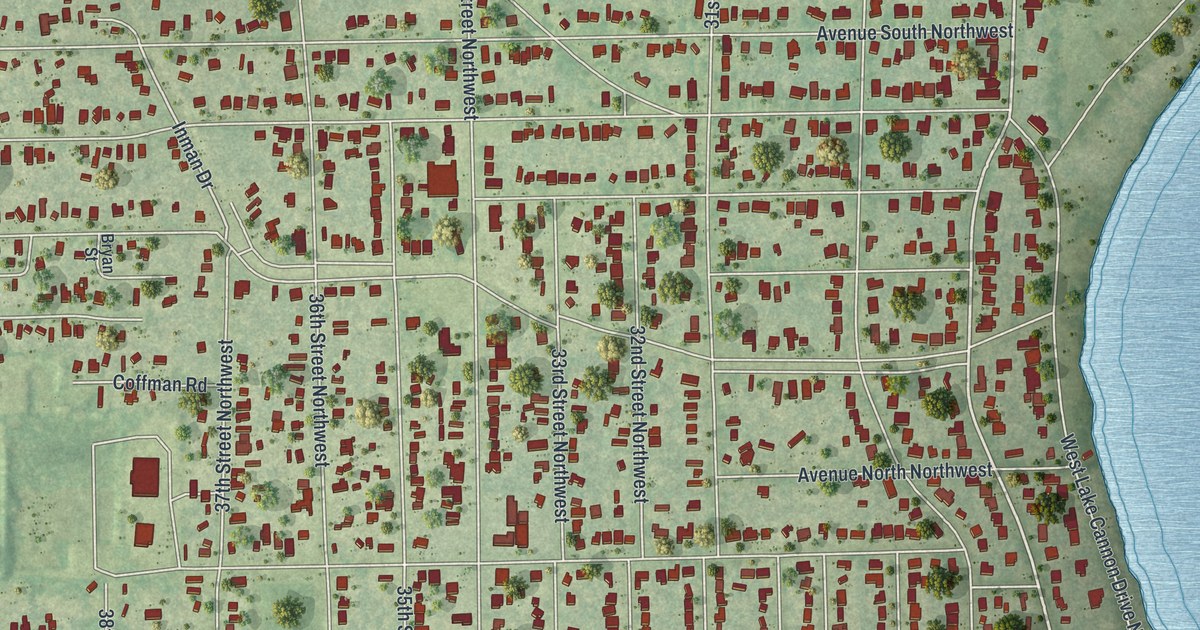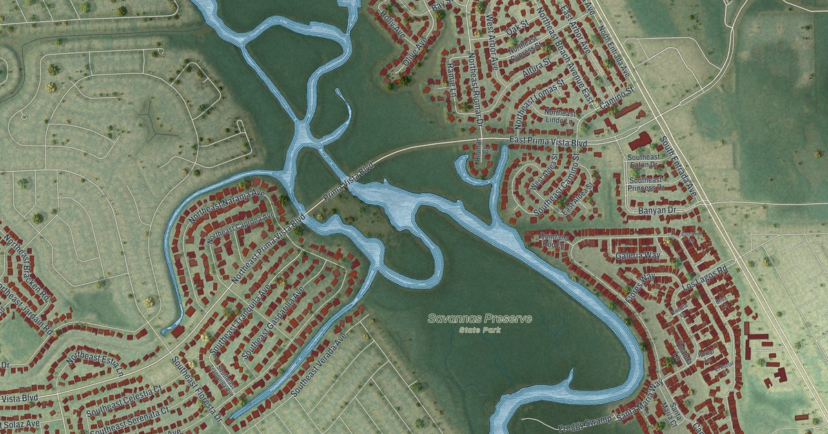
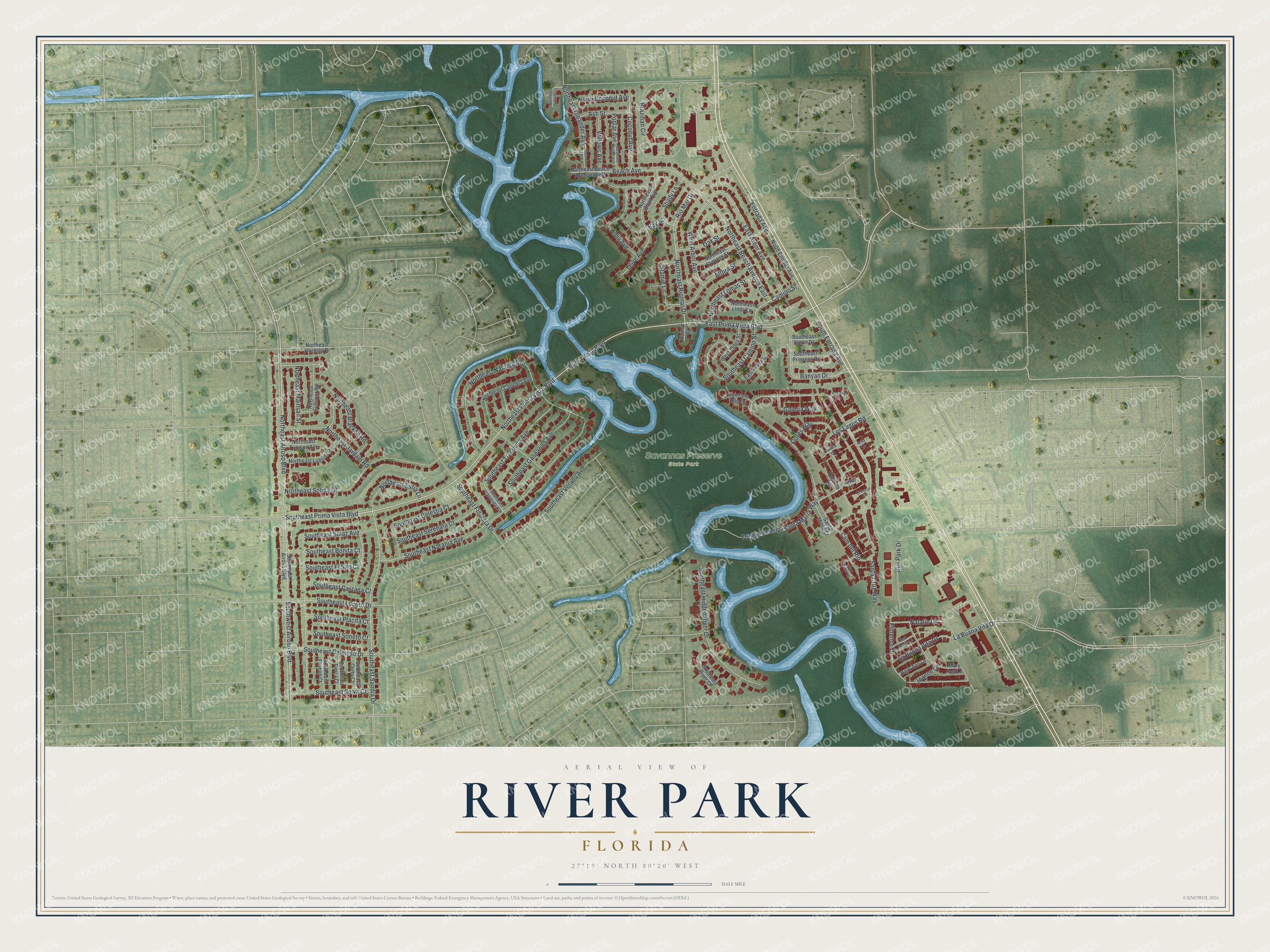
This beautifully detailed map of River Park, Florida was created in 2026 using aerial imagery combined with modern topographical, census, street and landmark data. It's a modern aerial view of River Park in St. Lucie County, Florida, that combines modern data with a vintage aesthetic. The roads feature printed names, and if you look closely you can find your exact house accurately shown in its correct location.
Explore an aerial view of River Park, Florida
On this map you'll find Savannas Preserve State Park, East Prima Vista Boulevard, Southeast Prima Vista Boulevard, Northeast Airoso Boulevard, Southwest Airoso Boulevard, Prima Vista Boulevard, Northeast Prima Vista Boulevard, Southeast Sandia Drive, Northeast Beach Avenue East, Camino Street, Southeast Lucero Drive, Northeast Riomar Drive, and more. Each red shape is a building, so zoom in on the preview and look for yours.
River Park is a community in St. Lucie County. The Census Bureau counted 6,514 people here in 2020. River Park sits about 3 miles southwest of Indian River Estates, 3 miles south of White City and 6 miles south of Fort Pierce South. The map prints the town name in its title panel, with the coordinates below it.
Take a closer look at the River Park map
Names on this map
These names are printed on this map.
Places: Savannas Preserve State Park.
Streets and roads: East Prima Vista Boulevard, Southeast Prima Vista Boulevard, Northeast Airoso Boulevard, Southwest Airoso Boulevard, Prima Vista Boulevard, Northeast Prima Vista Boulevard, Southeast Sandia Drive, Northeast Beach Avenue East, Camino Street, Southeast Lucero Drive, Northeast Riomar Drive, Rio Mar Drive.
More street names, A to Z
Altura Street, Ann Marie Lane, Ash Street, Banyan Drive, Barb Ann Lane, Bay Street, Beach Avenue, Brazilian Circle, Brisa Lane, Bus Park Drive, Cam del Rio, Coconut Avenue, Cozumel Lane, East Aldea Street, East Arbor Avenue, El Portal Lane, Entrada Avenue, Florence Drive, Flores Way, Froggy Swamp, Galeria Way, Holly Avenue, Joanne Lane, La Buana Vita Drive, La Buona Vita Drive, Los Lagos Road, Mary Ann Lane, Natalie Drive, North Coconut Avenue, Northeast Beach Avenue West, Northeast Bracken Road, Northeast Caprona Avenue, Northeast Carlisle Lane, Northeast Cypress Street, Northeast Estia Lane, Northeast Floresta Drive, Northeast Jardain Road, Northeast Lindo Lane, Northeast Lobster Road, Northeast Lomas Street, Northeast Mainsail Street, Northeast Naranja Avenue, Northeast Oleander Avenue, Northeast Olive Avenue, Northeast Poplar Avenue, Northeast Solida Drive, Northeast Summer Road, Northeast Tunison Avenue, North Entrada Avenue, Oak Street, Oleander Avenue, Olive Avenue, Poplar Avenue, Portal Lane, Quintana Roo Lane, Ramie Lane, Riomar Court, San Pablo Lane, Santa Cruz Way, Santa Maria Court, Santa Maria Way, Shady Lane, Southeast Airoso Boulevard, Southeast Bonita Court, Southeast Calmoso Drive, Southeast Camino Street, Southeast Castana Court, Southeast Celestia Court, Southeast Corto Court, Southeast Eaton Drive, Southeast El Sito Court, Southeast Festivo Court, Southeast Floresta Drive, Southeast Gasparilla Avenue, Southeast Hidden River Drive, Southeast Naranja Avenue, Southeast Placita Court, Southeast Princess Drive, Southeast River Court, Southeast Selva Court, Southeast Serenata Court, Southeast Solaz Avenue, Southeast Soneto Court, Southeast Tierra Court, Southeast Tranquila Avenue, Southeast Tranquilla Avenue, Southeast Verada Avenue, South Entrada Avenue, Violetta Lane, West Aldea Street, West Arbor Avenue, Willows Avenue, Yolanda Lane.
See it on a wall
The River Park map as a framed print. Swipe for more.


Created by KNOWOL in 2026. The buildings are small red shapes, the roads carry their printed names, and shaded relief shows the shape of the land. The title panel reads "AERIAL VIEW OF RIVER PARK, FLORIDA" with 27°19' NORTH 80°20' WEST.
Hang it in the hallway, the office or the cabin, or give it to someone who left River Park and still calls it home. Open the preview and look for a street you know. See sizes and frames for the River Park map.