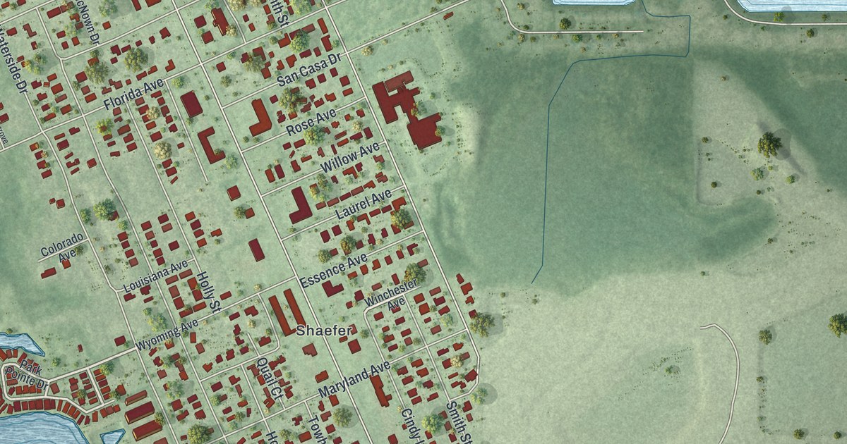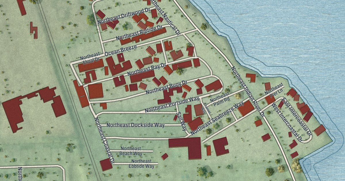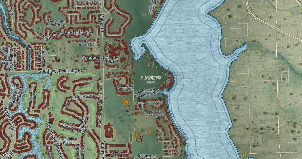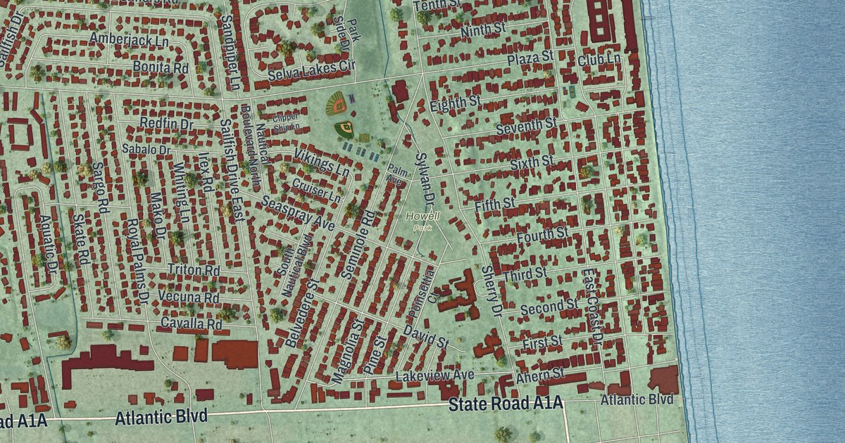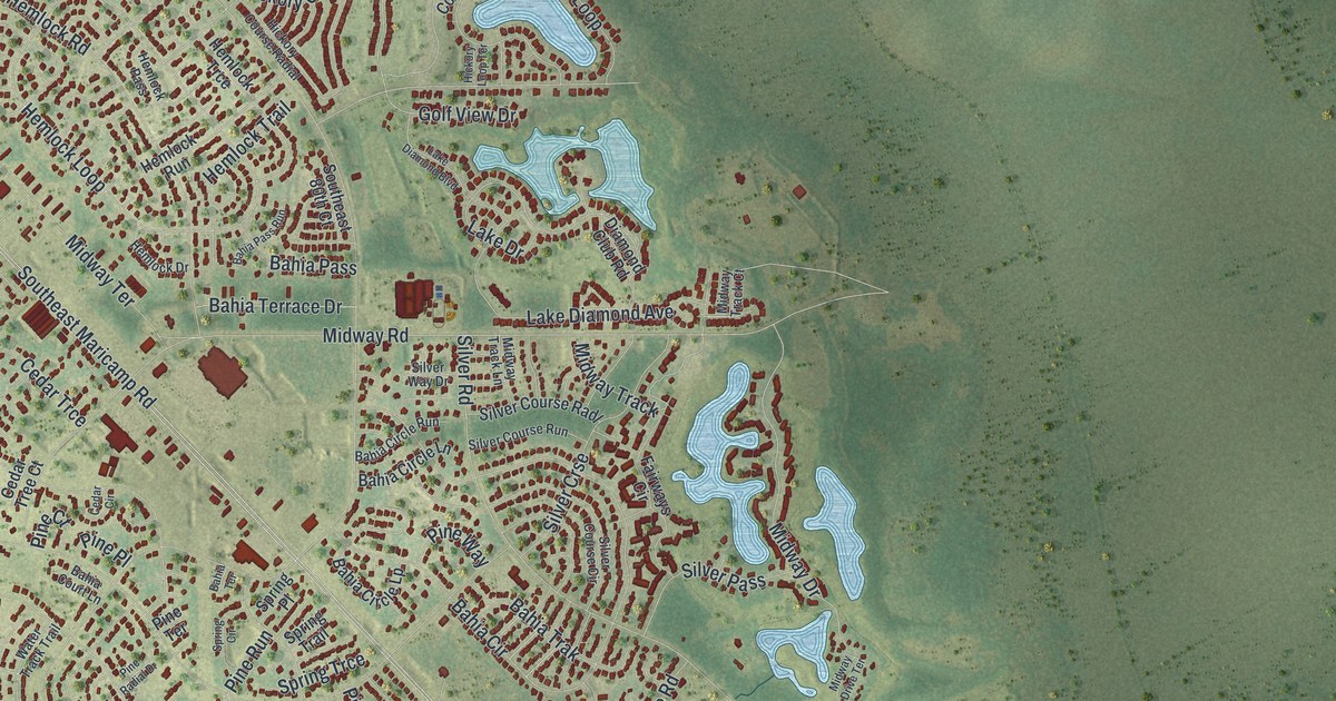
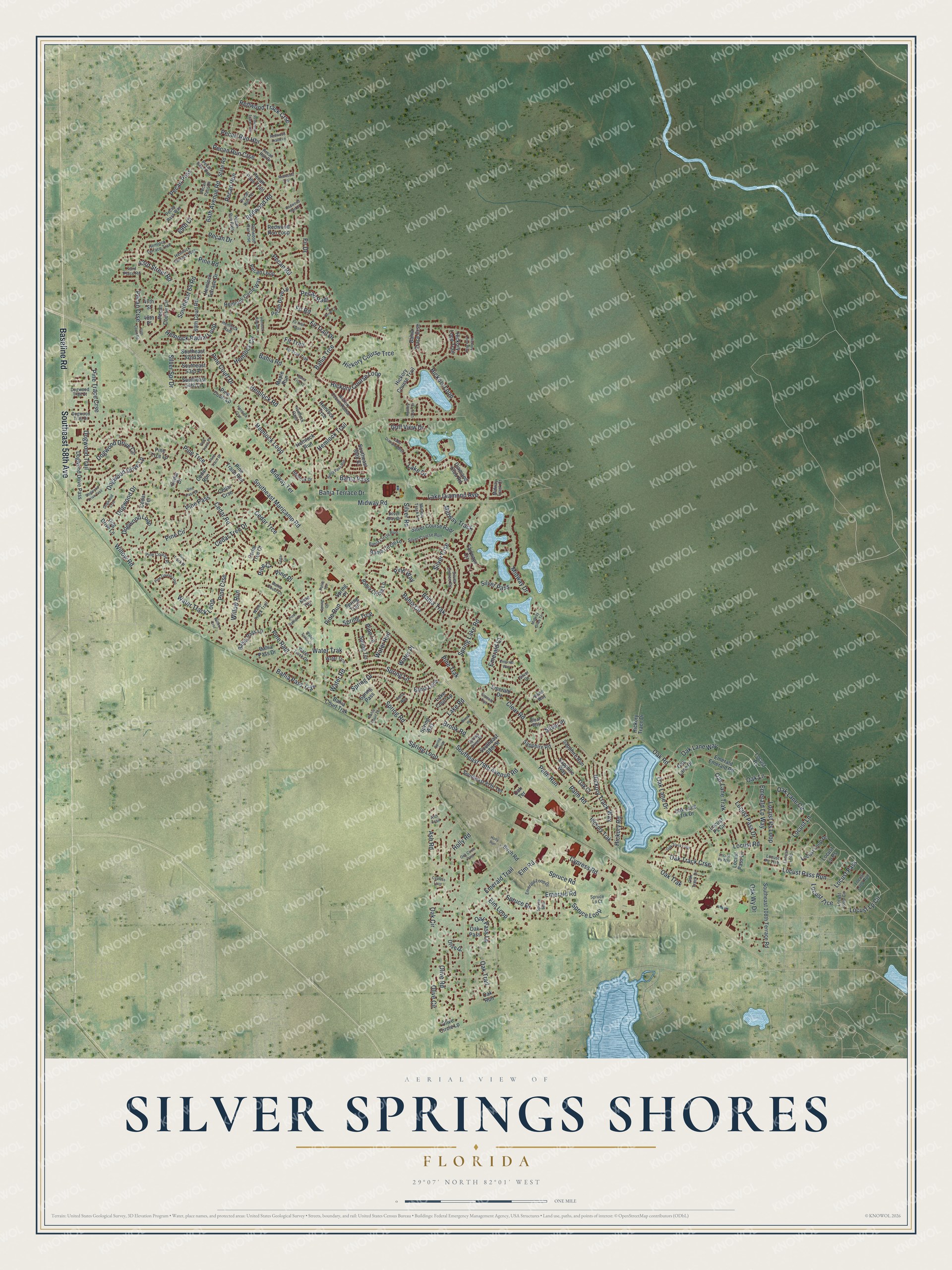
This beautifully detailed map of Silver Springs Shores, Florida was created in 2026 using aerial imagery combined with modern topographical, census, street and landmark data. It's a modern aerial view of Silver Springs Shores in Marion County, Florida, that combines modern data with a vintage aesthetic. The roads feature printed names, and if you look closely you can find your exact house accurately shown in its correct location.
Explore an aerial view of Silver Springs Shores, Florida
On this map you'll find Baseline Road, Southeast 58th Avenue, Pine Trce, Redwood Track Crse, Emerald Lp Way, Locust Ps Loop, Oak Lane, Locust Pass Run, Locust Lp Circle, Locust Trce, Hemlock Radial Loop, Southeast Maricamp Road, and more. Each red shape is a building, so zoom in on the preview and look for yours.
Silver Springs Shores is a community in Marion County. The Census Bureau counted 24,846 people here in 2020. Silver Springs Shores sits about 4 miles northeast of Belleview, 7 miles northwest of Ocklawaha and 9 miles southeast of Ocala. The map prints the town name in its title panel, with the coordinates below it.
Take a closer look at the Silver Springs Shores map
Names on this map
These names are printed on this map.
Streets and roads: Baseline Road, Southeast 58th Avenue, Pine Trce, Redwood Track Crse, Emerald Lp Way, Locust Ps Loop, Oak Lane, Locust Pass Run, Locust Lp Circle, Locust Trce, Hemlock Radial Loop, Southeast Maricamp Road.
More street names, A to Z
43rd Place Road, 43rd Street Road, 47th Street, 48th Place, 64th Avenue Road, 64th Court Road, 69th Court, 69th Court Road, Ash Road, Ash Trail, Bahia Circle, Bahia Circle Lane, Bahia Circle Lp, Bahia Circle Run, Bahia Court Lane, Bahia Court Terrace, Bahia Court Trak, Bahia Loop, Bahia Pass, Bahia Pass Drive, Bahia Pass Lp, Bahia Pass Run, Bahia Pass Trak, Bahia Road, Bahia Terrace, Bahia Terrace Drive, Bahia Trace Crse, Bahia Trak, Bahia Trce, Bahia Trce Lp, Bahia Way, Birch Road, Brook Place, Brook Road, Cedar Circle, Cedar Crse, Cedar Drive, Cedar Road, Cedar Run, Cedar Terrace, Cedar Trce, Cedar Tree Court, Cedar Tree Drive, Clear Road, Clear Way, Cypress Loop, Cypress Road, Diamond Club Road, Dog Drive Lane, Dogwood Crse, Dogwood Drive, Dogwood Drive Circle, Dogwood Drive Lp, Dogwood Drive Pass, Dogwood Drive Trail, Dogwood Loop, Dogwood Trail, Dogwood Trail Court, Dogwood Trail Drive, Elm Loop, Elm Road, Emerald Court, Emerald Crse, Emerald Drive, Emerald Emerald Road, Emerald Loop Drive, Emerald Road, Emerald Trail, Emerald Way, Fairways Circle, Fir Drive, Fir Drive Court, Fir Road, Fir Trail, Fir Trail Drive, Fir Trail Pass, Fir Trail Trak, Golf View Drive, Hemlock Circle, Hemlock Circle Way, Hemlock Crse, Hemlock Drive, Hemlock Loop, Hemlock Pass, Hemlock Radial Lane, Hemlock Radl, Hemlock Road, Hemlock Run, Hemlock Terrace Drive, Hemlock Terrace Trail, Hemlock Terrace Way, Hemlock Trail, Hemlock Trce, Hickory Course Loop, Hickory Course Radial, Hickory Course Trail, Hickory Course Trce, Hickory Loop, Hickory Loop Terrace, Hickory Loop Trail, Hickory Loop Way, Hickory Road, Hickory Trace Drive, Hickory Track Way, Hickory Trak, Holly Road, Holly Run, Lake Court Lp, Lake Diamond Avenue, Lake Diamond Boulevard, Lake Drive, Lake Road, Locust Lane, Locust Loop, Locust Loop Circle, Locust Loop Drive, Locust Loop Run, Locust Lp Ps, Locust Pass, Locust Pass Drive, Locust Pass Lane, Locust Ps, Locust Ps Circle, Locust Ps Trce, Locust Ps Way, Locust Road, Maple Run, Midway Drive, Midway Drive Terrace, Midway Road, Midway Terrace, Midway Track, Midway Track Court, Midway Track Lane, Oak Circle, Oak Circle Pass, Oak Court, Oak Lane Circle, Oak Lane Drive, Oak Lane Trak, Oak Lane Trk Drive, Oak Lane Way, Oak Pass, Oak Pass Lp, Oak Road, Oak Run, Oak Terrace, Oak Track Crse, Oak Track Drive, Oak Track Loop, Oak Trail, Oak Trak, Oak Wy Drive, Olive Circle, Olive Circle Lp, Olive Drive, Olive Road, Palm Road, Palm Run, Pecan Course Circle, Pecan Crse, Pecan Drive, Pecan Drive Lp, Pecan Loop, Pecan Pass, Pecan Pass Drive, Pecan Pass Run, Pecan Pass Trail, Pecan Pass Way, Pecan Radl, Pecan Road, Pecan Run, Pecan Run Crse, Pecan Run Drive, Pecan Run Hbr, Pecan Run Pass, Pecan Run Terrace, Pine Circle, Pine Course Loop, Pine Course Place, Pine Court, Pine Court Drive, Pine Court Lp, Pine Crse, Pine Lane, Pine Pass, Pine Pass Drive, Pine Place, Pine Radial Drive, Pine Radl, Pine Road, Pine Run, Pine Terrace, Pine Trace Crse, Pine Trace Drive, Pine Trace Place, Pine Trace Run, Pine Track Place, Pine Trak, Pine Trce Lp, Pine Way, Redwood Road, Redwood Run Court, Redwood Run Crse, Redwood Run Loop, Redwood Track Lane, Redwood Track Trce, Redwood Trak, Sapphire Road, Sapphire Run, Sapphire Way, Silver Course Circle, Silver Course Radl, Silver Course Run, Silver Crse, Silver Drive, Silver Pass, Silver Place, Silver Road, Silver Spr Drive, Silver Way, Silver Way Drive, Southeast 52nd Street, Southeast 53rd Place, Southeast 54th Lane, Southeast 64 Road, Southeast 79th Avenue Road, Southeast 80th Court, Southeast 87th Terrace, Southeast 88th Street, Southeast 108th Terrace Road, Spring Circle, Spring Crse, Spring Drive, Spring Drive Place, Spring Lake Road, Spring Lane, Spring Loop, Spring Pass, Spring Place, Spring Road, Spring Terrace, Spring Trail, Spring Trce, Spring Way, Spruce Bess, Spruce Drive, Spruce Loop, Spruce Lp Court, Spruce Road, State Road, Water Place, Water Road, Water Run, Water Track Court, Water Track Drive, Water Track Loop, Water Track Trail, Water Trak, Water Trce, Willow Crse, Willow Road, Willow Run.
See it on a wall
The Silver Springs Shores map as a framed print. Swipe for more.


Created by KNOWOL in 2026. The buildings are small red shapes, the roads carry their printed names, and shaded relief shows the shape of the land. The title panel reads "AERIAL VIEW OF SILVER SPRINGS SHORES, FLORIDA" with 29°07' NORTH 82°01' WEST.
Hang it in the hallway, the office or the cabin, or give it to someone who left Silver Springs Shores and still calls it home. Open the preview and look for a street you know. See sizes and frames for the Silver Springs Shores map.