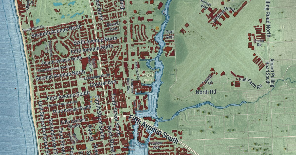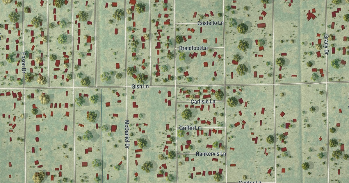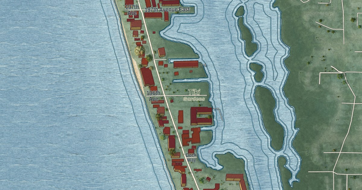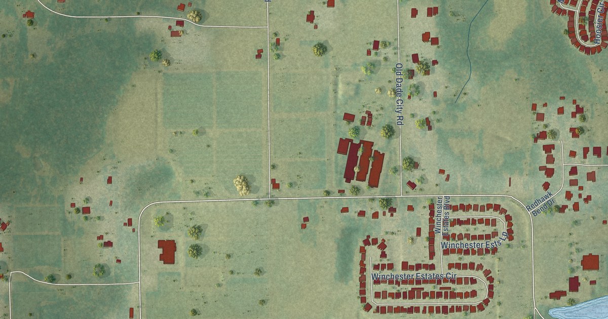
This beautifully detailed map of Socrum, Florida was created in 2026 using aerial imagery combined with modern topographical, census, street and landmark data. It’s a one-of-a-kind view of Socrum that combines accurate data with a vintage aesthetic. The map shows every building in its true location, many of the roads carry their names, and the shaded topographic relief shows the shape of the land.
Explore an aerial view of Socrum, Florida
On the map you’ll find Pebblebrooke Boulevard, Peak Avenue, Big Cypress Boulevard, North Campbell Road, West Socrum Loop Road, Old Dade City Road, Kathleen Road, Hancock Road, Raulerson Road, Fort Socrum Village Boulevard, Rockridge Road, Snowy Plover Drive, and more. If you look closely you can even find your house accurately drawn in its correct location. Zoom in on the preview to look for yours.
Take a closer look at the Socrum map
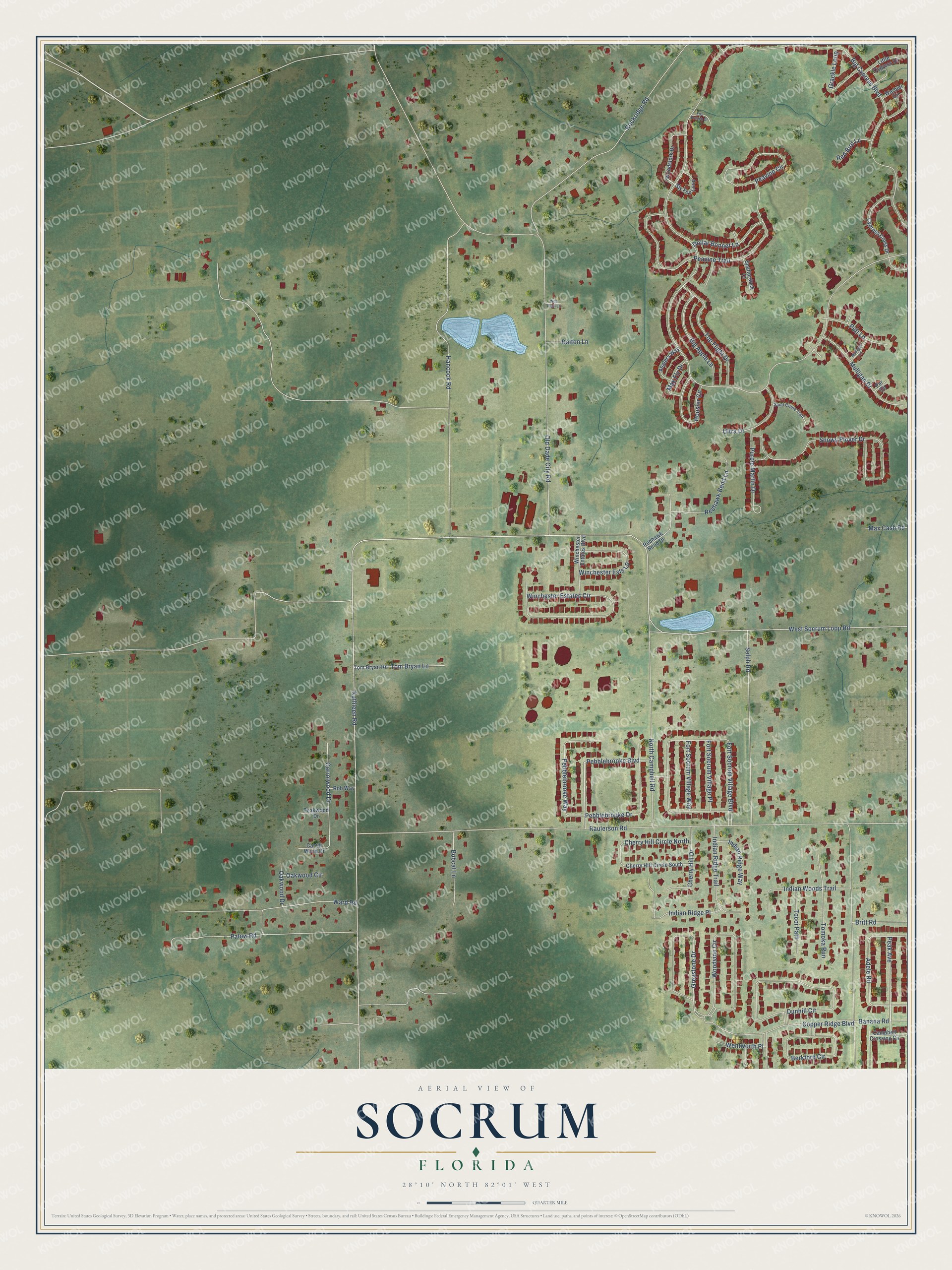
Names on this map
These names are printed on this map.
Streets and roads: Pebblebrooke Boulevard, Peak Avenue, Big Cypress Boulevard, North Campbell Road, West Socrum Loop Road, Old Dade City Road, Kathleen Road, Hancock Road, Raulerson Road, Fort Socrum Village Boulevard, Rockridge Road, Snowy Plover Drive.
More street names, A to Z
Adele Road, Anglers Way, Banana Road, Berkford Circle, Big Apple Lane, Bobcat Lane, Britt Road, Campbell Crossing Circle, Carrolwood Drive, Carrol Wood Drive, Cherry Hill Circle North, Cherry Hill Circle South, Cherry Hill Drive, Copper Ridge Boulevard, Cypress Cross Drive, Dalton Lane, Dollar Bonnet Lane, Dunhill Circle, Fort Socrum Village Place, Fort Socrum Village Way, Fox Branch Court, Grackle Loop, Greystone Drive, Hoosier Circle, Indian Ridge Place, Indian Ridge Trail, Indian Ridge Way, Indian Woods Trail, Little Cypress Drive, Max Cash Road, Max Fly Drive, Mulligan Drive, Mulligan Lane, Oakwood Circle, Oakwood Drive, Palow Road, Par Circle, Peavine Circle, Peavine Trail, Pebblebrooke Drive, Pebblebrooke Way, Purple Martin Drive, Putt Lane, Red Bird Lane, Redhawk Bend Drive, Redhawk Bend Lane, Rob Way, Sand Crane Trail, Selph Road, Sly Fox Loop, Spatterdock Court, Teakwood Drive, Tocoi Path, Tom Bryan Lane, Tom Bryan Road, Tomoka Run, Top Flight Drive, Ultra Drive, Warbler Circle, Ward Road, Wentworth Place, Wild Plum Lane, Winchester Estates Boulevard, Winchester Estates Circle, Winchester Ests Lp, Woodstork Drive, Woodvine Circle.
See it on a wall
The Socrum map as a framed print. Swipe for more.


This beautifully detailed map of Socrum makes an attractive addition to your office, library, or den, and it can even be used to teach children the geography and history of the area. It also makes a great gift for someone who left Socrum and still calls it home. When you’re done exploring, click here to get your copy of the Socrum map.