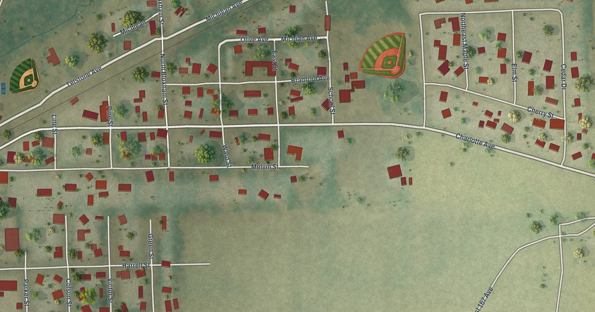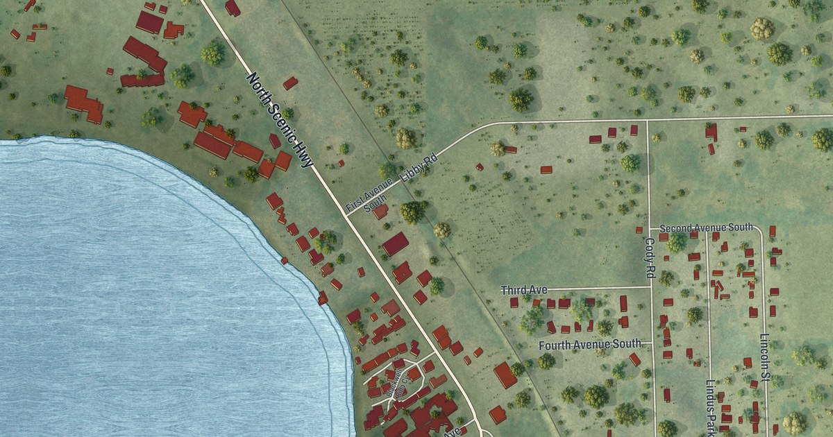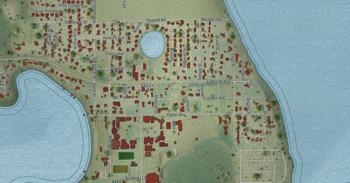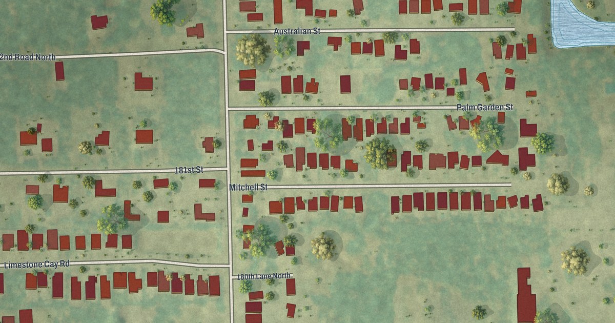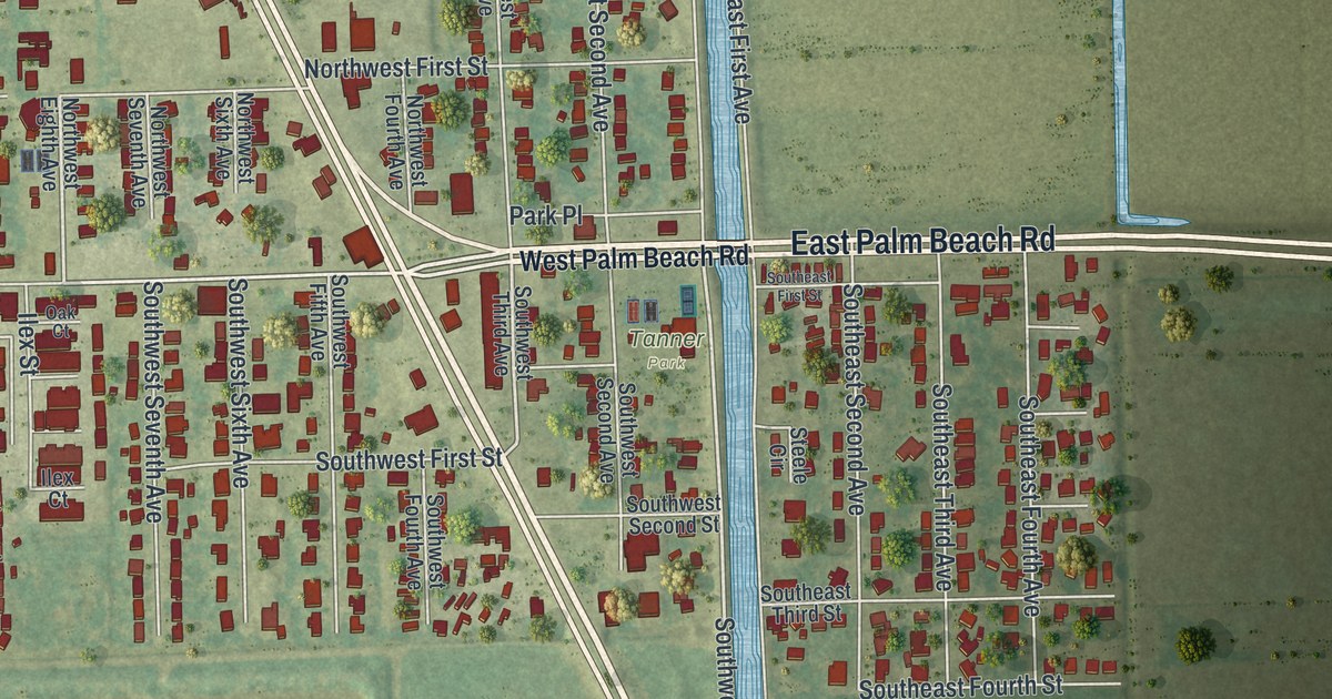
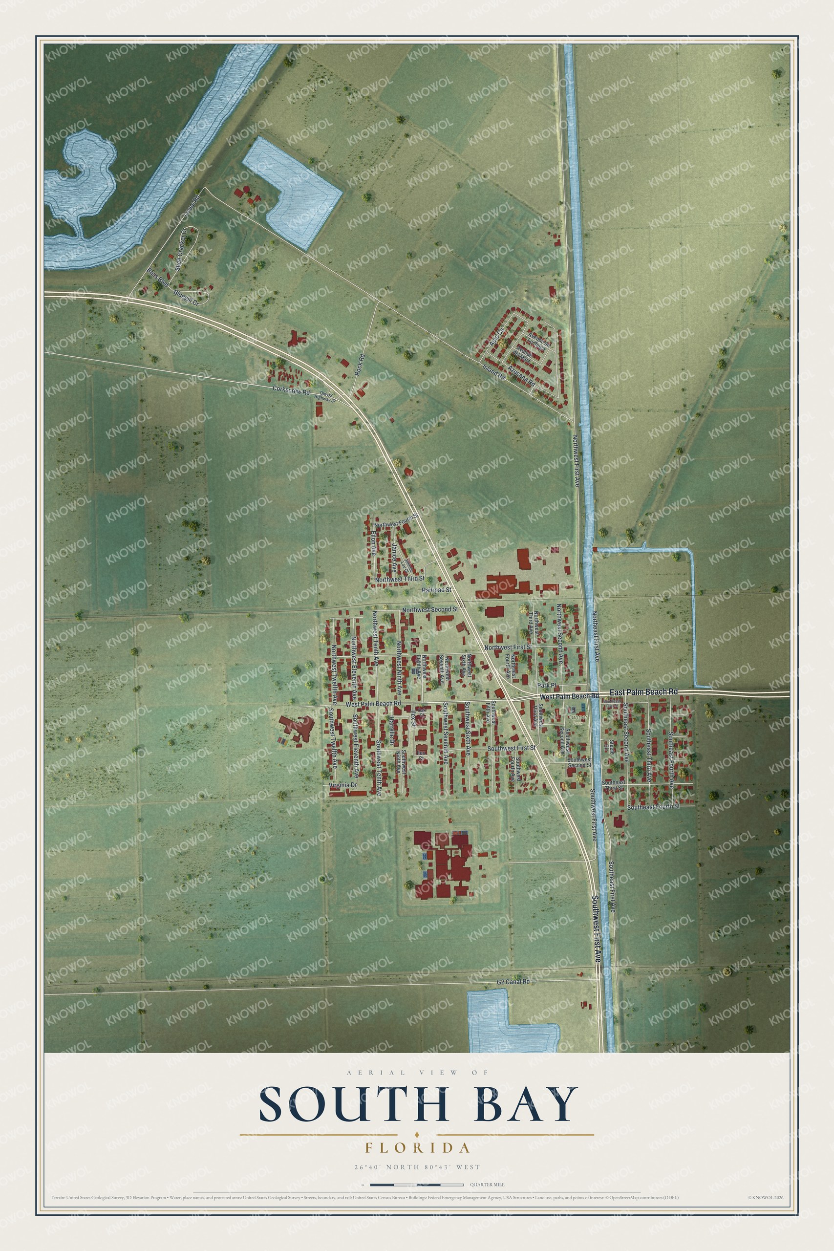
This beautifully detailed map of South Bay, Florida was created in 2026 using aerial imagery combined with modern topographical, census, street and landmark data. It’s a one-of-a-kind view of South Bay that combines accurate data with a vintage aesthetic. The map shows every building in its true location, many of the roads carry their names, and the shaded topographic relief shows the shape of the land.
Explore an aerial view of South Bay, Florida
On the map you’ll find Tanner Park, along with East Palm Beach Road, Southwest First Avenue, West Palm Beach Road, Northwest Tenth Avenue, Northwest First Avenue, Island Road, Southeast First Avenue, Northwest First Street, Azucana Road, Southwest First Street, Levee Road, and more. If you look closely you can even find your house accurately drawn in its correct location. Zoom in on the preview to look for yours.
Did You Know?
South Bay took its name from its spot on Lake Okeechobee and became a town in 1941. Its first mayor was Aubrey Walker. Years earlier, Aubrey and his brother Haughty survived the great hurricane of 1928. They saved their family by gathering everyone onto a boat in the canal.
Take a closer look at the South Bay map
Names on this map
These names are printed on this map.
Places: Tanner Park.
Streets and roads: East Palm Beach Road, Southwest First Avenue, West Palm Beach Road, Northwest Tenth Avenue, Northwest First Avenue, Island Road, Southeast First Avenue, Northwest First Street, Azucana Road, Southwest First Street, Levee Road, G2 Canal Road.
More street names, A to Z
Apio Circle, Avenue de Lechuga, Avenue del Maiz, Bass Boulevard, Bluegill Cr, Corkscrew Road, Eilon Avenue, Harrelle Drive, Ilex Court, Ilex Street, Janice Avenue, Jimmie Lou Court, Northeast First Avenue, Northwest Eighth Avenue, Northwest Eleventh Avenue, Northwest Fourth Avenue, Northwest Fourth Street, Northwest Ninth Avenue, Northwest Second Avenue, Northwest Second Street, Northwest Seventh Avenue, Northwest Sixth Avenue, Northwest Third Avenue, Northwest Third Street, Northwest Twelfth Avenue, Oak Court, Old US Highway 27, Park Place, Railroad Street, Rock Road, Shell Cracker Cr, Southeast First Street, Southeast Fourth Avenue, Southeast Fourth Street, Southeast Second Avenue, Southeast Third Avenue, Southeast Third Street, Southwest Eleventh Avenue, Southwest Fifth Avenue, Southwest Fourth Avenue, Southwest Ninth Avenue, Southwest Second Avenue, Southwest Second Street, Southwest Seventh Avenue, Southwest Sixth Avenue, Southwest Tenth Avenue, Southwest Third Avenue, Southwest Twelfth Avenue, Steele Circle, Virginia Drive.
See it on a wall
The South Bay map as a framed print. Swipe for more.


This beautifully detailed map of South Bay makes an attractive addition to your office, library, or den, and it can even be used to teach children the geography and history of the area. It also makes a great gift for anyone who grew up in South Bay or moved away. When you’re done exploring, click here to get your copy of the South Bay map.