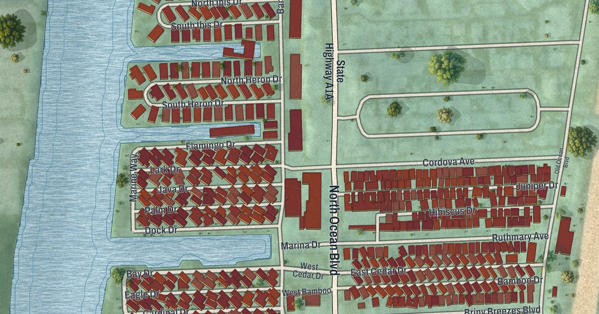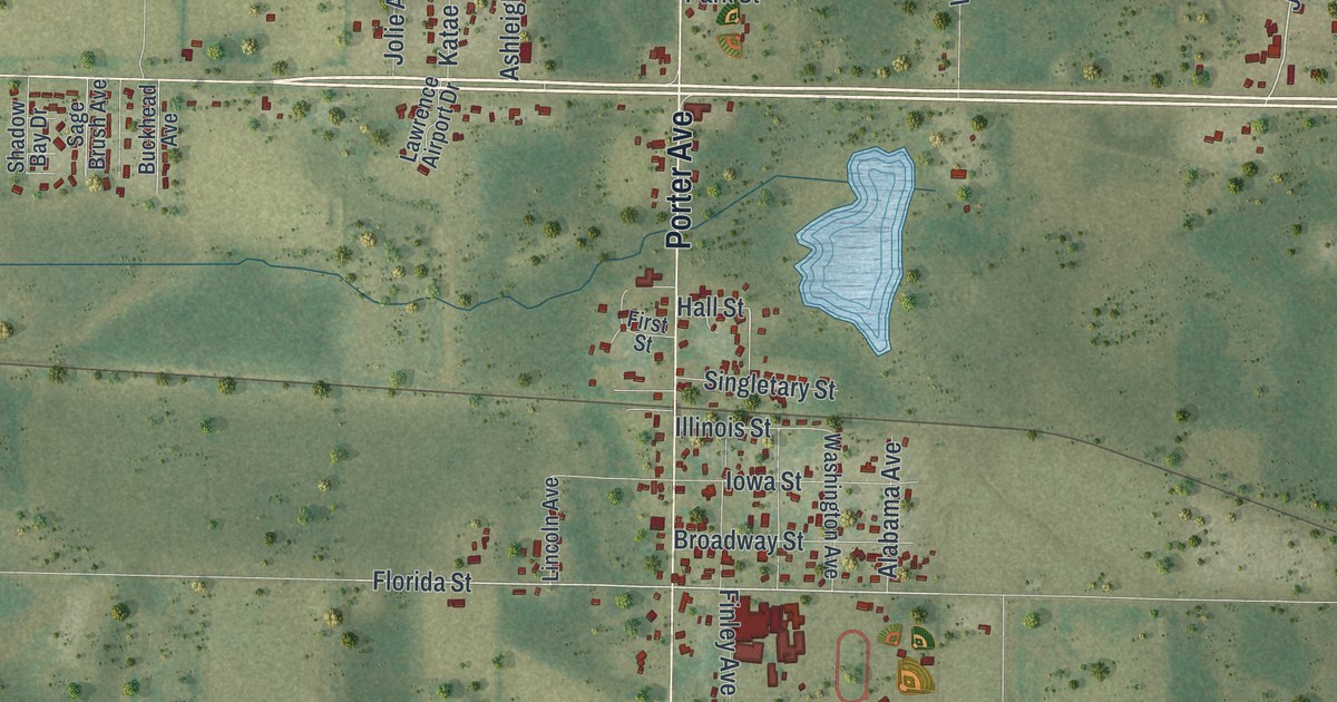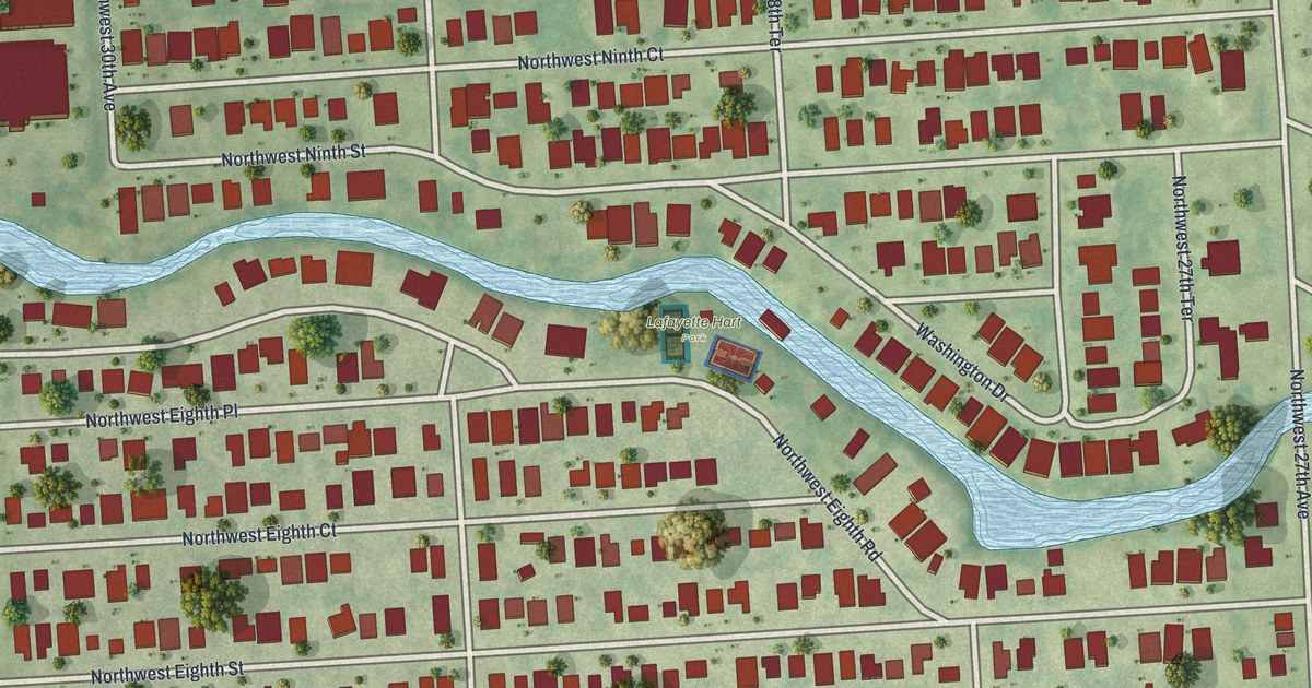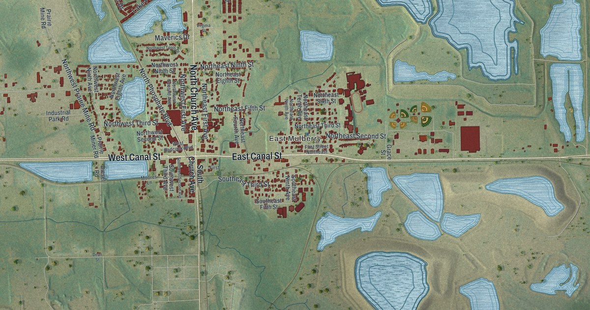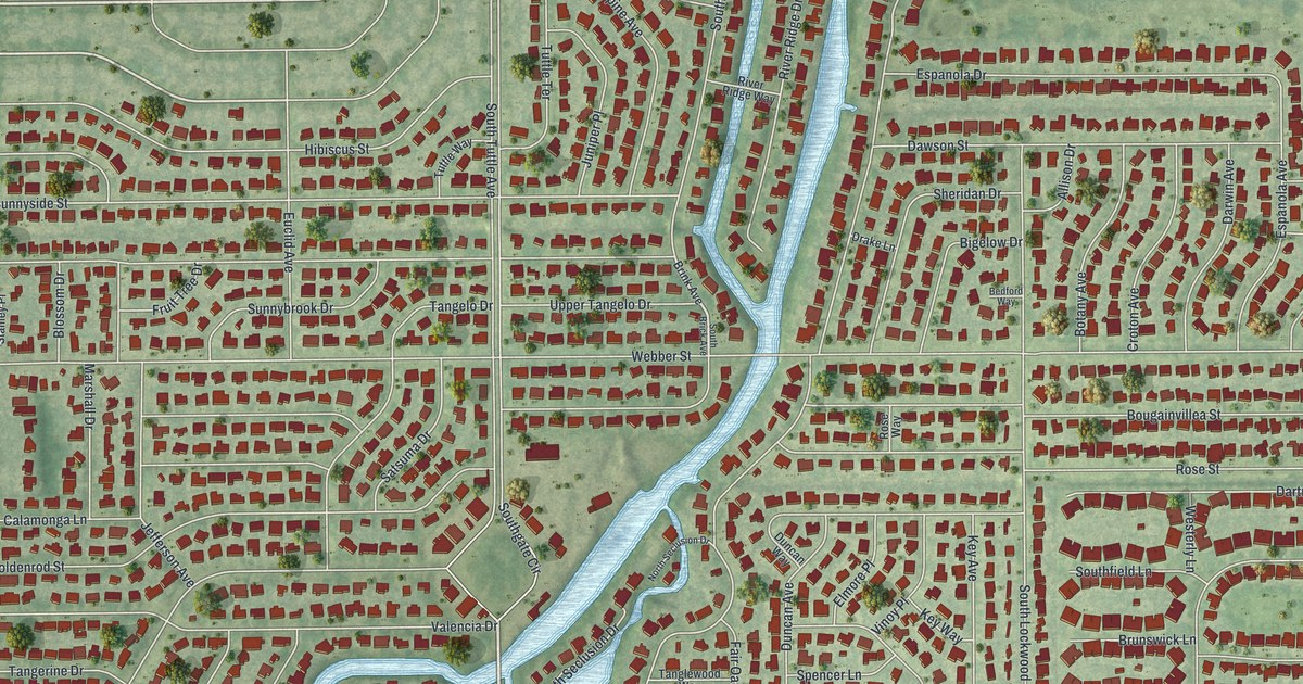
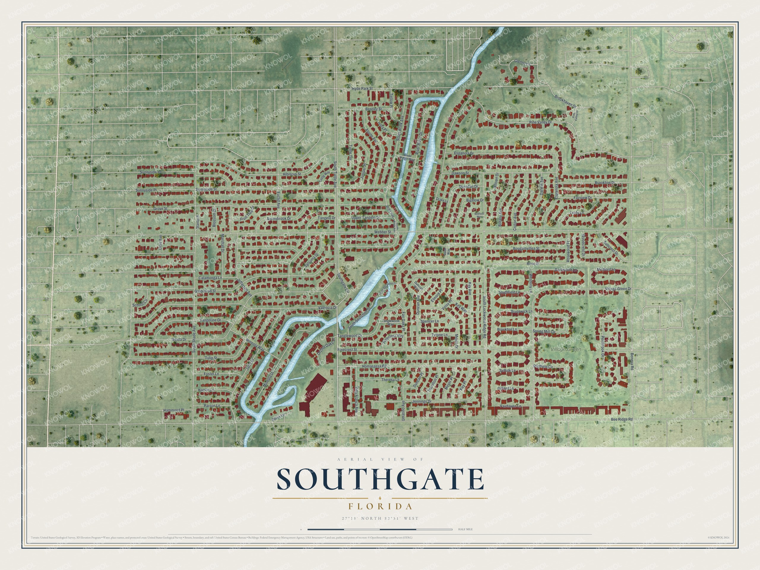
This beautifully detailed map of Southgate, Florida was created in 2026 using aerial imagery combined with modern topographical, census, street and landmark data. It's a modern aerial view of Southgate in Sarasota County, Florida, that combines modern data with a vintage aesthetic. The roads feature printed names, and if you look closely you can find your exact house accurately shown in its correct location.
Explore an aerial view of Southgate, Florida
On this map you'll find Village Green, South Tuttle Avenue, Pembrook Drive, Pine Valley Drive, Webber Street, Bee Ridge Road, Bougainvillea Street, Tanglewood Drive, Beneva Road, Goldenrod Street, Rose Street, South Shade Avenue, and more. Each red shape is a building, so zoom in on the preview and look for yours.
Southgate is a community in Sarasota County. The Census Bureau counted 6,287 people here in 2020. Southgate sits about 2 miles northwest of South Gate Ridge, 2 miles northeast of South Sarasota and 2 miles west of Sarasota Springs. The map prints the town name in its title panel, with the coordinates below it.
Take a closer look at the Southgate map
Names on this map
These names are printed on this map.
Places: Village Green.
Streets and roads: South Tuttle Avenue, Pembrook Drive, Pine Valley Drive, Webber Street, Bee Ridge Road, Bougainvillea Street, Tanglewood Drive, Beneva Road, Goldenrod Street, Rose Street, South Shade Avenue, Grove Street.
More street names, A to Z
Allison Drive, Alpine Avenue, Bedford Way, Bentley Street, Bigelow Drive, Blossom Drive, Botany Avenue, Brink Avenue, Brockton Lane, Brookhaven Drive, Brookline Drive, Brunswick Lane, Calamonga Lane, Croton Avenue, Dartmouth Lane, Darwin Avenue, Dawson Street, Drake Lane, Duncan Avenue, Duncan Place, Duncan Way, Elmore Place, Espanola Avenue, Espanola Drive, Euclid Avenue, Fairhaven Lane, Fair Oaks Place, Fairview Drive, Foster Lane, Fruit Tree Drive, Gifford Lane, Glenna Lane, Hamlin Lane, Hammond Place, Hibiscus Street, Homasassa Road, Hyde Park Street, Ivory Place, Jaffa Drive, Jefferson Avenue, Jennings Drive, Juniper Place, Key Avenue, Key Place, Key Way, Leafy Lane, Lime Avenue, Marshall Drive, Medford Lane, Meyer Drive, Meyer Place, Mineola Drive, Mineola Way, North Seclusion Drive, Olivia Lane, Orchid Oaks Drive, Parson Lane, Pinecrest Street, Pinecrest Way, Pine Valley Lane, River Ridge Drive, River Ridge Way, Rose Way, Rosewood Place, Satsuma Drive, School Circle, Sheffield Circle, Sheridan Drive, Siesta Drive, South Brick Avenue, South Brink Avenue, Southfield Lane, Southgate Circle, South Lockwood Ridge Road, South Seclusion Drive, Spencer Lane, Spring Mill Circle, Stanley Place, Suffolk Lane, Suncrest Drive, Sunnybrook Drive, Sunnyside Lane, Sunnyside Place, Sunnyside Street, Tangelo Drive, Tangerine Drive, Tanglewood Way, Tetlow Place, Theresa Lane, Thornton Place, Tulip Street, Tuttle Terrace, Tuttle Way, Tyrone Lane, Umatillo Avenue, Upper Tangelo Drive, Valencia Drive, Villa Franca Avenue, Village Green Drive, Vinoy Place, Westerly Lane, Woodcrest Drive.
See it on a wall
The Southgate map as a framed print. Swipe for more.


Created by KNOWOL in 2026. The buildings are small red shapes, the roads carry their printed names, and shaded relief shows the shape of the land. The title panel reads "AERIAL VIEW OF SOUTHGATE, FLORIDA" with 27°18' NORTH 82°31' WEST.
It suits a den, a classroom or a front hall, and it makes a gift for anyone with Southgate roots. Open the preview and find the block you know. See sizes and frames for the Southgate map.