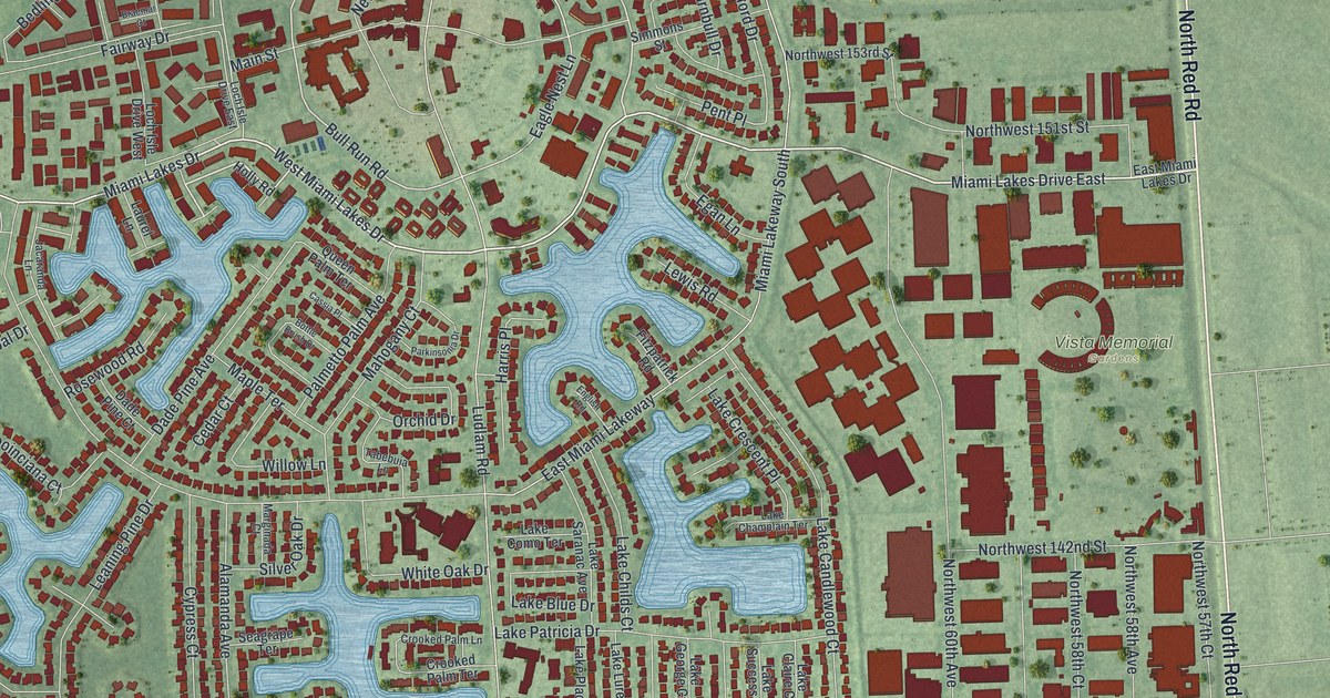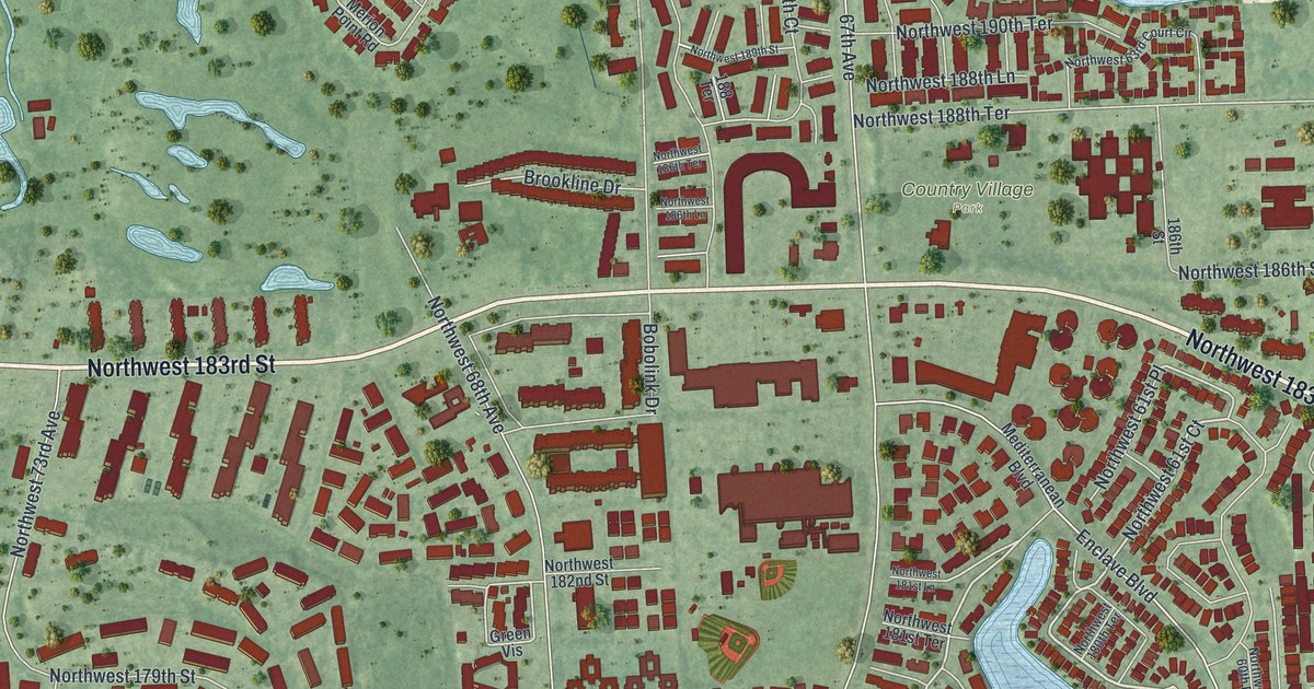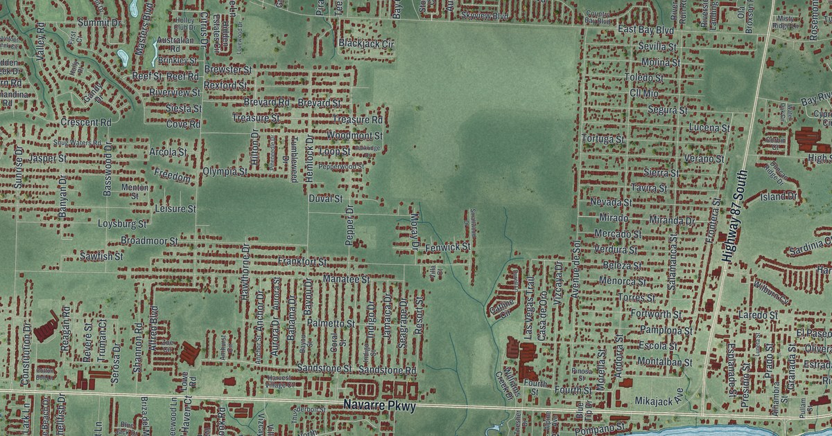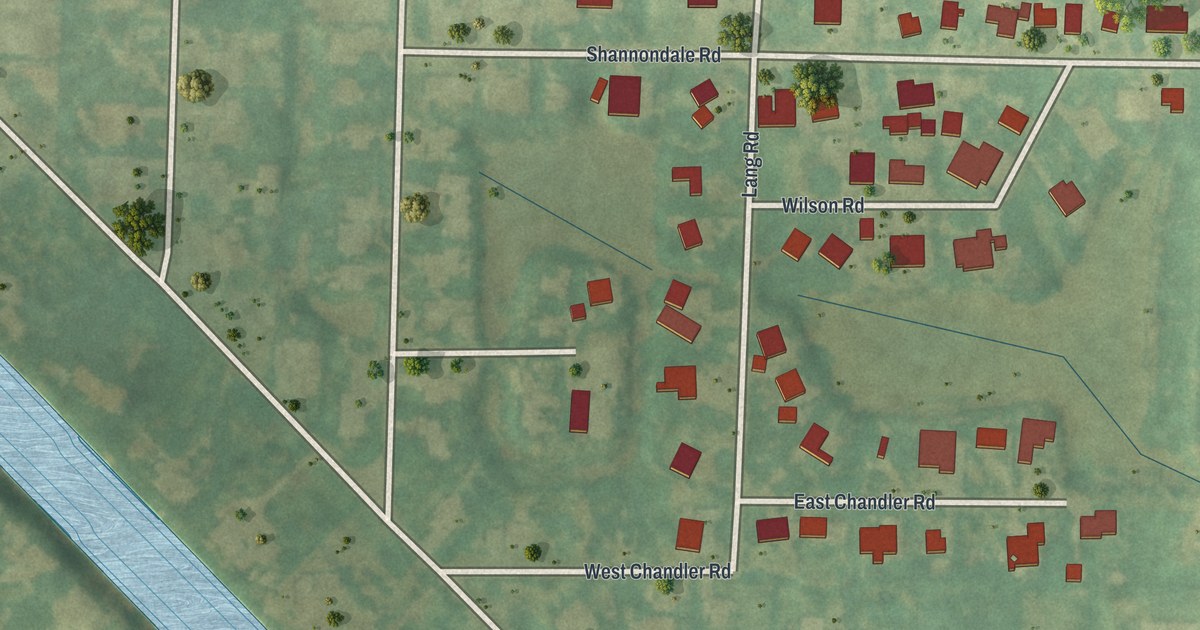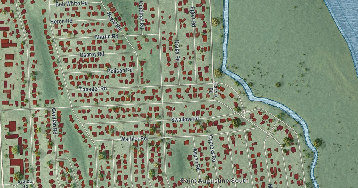
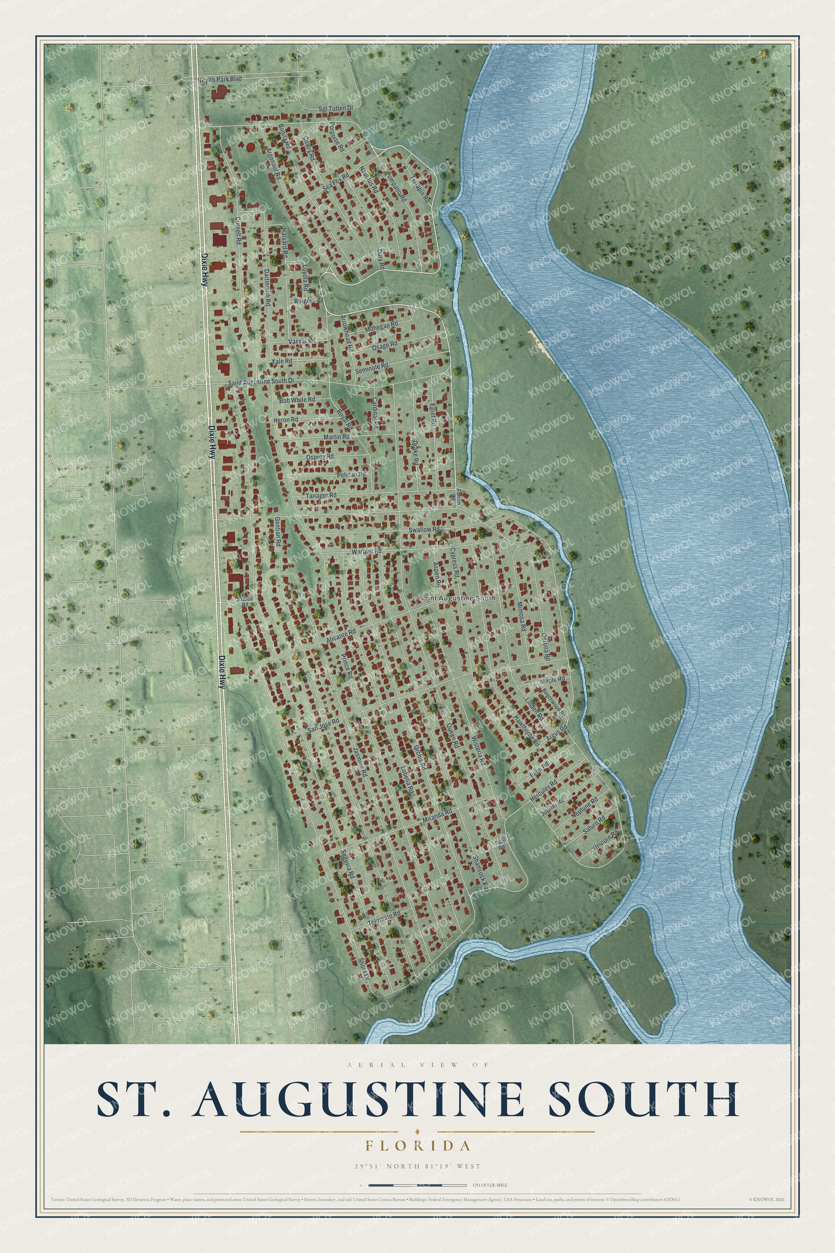
This beautifully detailed map of St. Augustine South, Florida was created in 2026 using aerial imagery combined with modern topographical, census, street and landmark data. It's a modern aerial view of St. Augustine South in St. Johns County, Florida, that combines modern data with a vintage aesthetic. The roads feature printed names, and if you look closely you can find your exact house accurately shown in its correct location.
Explore an aerial view of St. Augustine South, Florida
On this map you'll find Saint Augustine South, Dixie Highway, Shore Drive, Segovia Road, Prince Road, Queen Road, Gentian Road, Gerona Road, Jasmine Road, Lobelia Road, Orchis Road, Shamrock Road, and more. Each red shape is a building, so zoom in on the preview and look for yours.
St. Augustine South is a community in St. Johns County. The Census Bureau counted 5,066 people here in 2020. St. Augustine South sits about 4 miles northwest of Butler Beach, 6 miles south of Vilano Beach and 9 miles northwest of Crescent Beach. The map prints the town name in its title panel, with the coordinates below it.
Take a closer look at the St. Augustine South map
Names on this map
These names are printed on this map.
Places: Saint Augustine South.
Streets and roads: Dixie Highway, Shore Drive, Segovia Road, Prince Road, Queen Road, Gentian Road, Gerona Road, Jasmine Road, Lobelia Road, Orchis Road, Shamrock Road, San Jose Road.
More street names, A to Z
Alicante Road, Argonaut Road, Argus Road, Arrowhead Road, Aspen Road, Azalea Road, Beechwood Road, Bob White Road, Bonita Road, Cardinal Road, Cornell Road, Cowry Road, Cypress Road, Dartmouth Road, Dory Road, Drake Road, Egret Road, Falcon Road, Faun Road, Harvard Road, Hawthorne Road, Health Park Boulevard, Hercules Road, Heron Road, Jupiter Road, Linden Road, Loyola Road, Maple Road, Martin Road, Mimosa Road, Miranda Road, Mohegan Road, Nautilus Road, Neptune Road, Osage Road, Osprey Road, Pelican Road, Pompano Road, Porpoise Road, Royal Road, Rutgers Road, Saint Augustine South Drive, Saturn Road, Sea Fox Road, Seminole Road, Sgt Tutten Drive, Swallow Road, Tanager Road, Terrapin Road, Tolomato Road, Tulip Road, Unicorn Road, Vassar Road, Warbler Road, Wisteria Road, Yale Road.
See it on a wall
The St. Augustine South map as a framed print. Swipe for more.


Created by KNOWOL in 2026. The buildings are small red shapes, the roads carry their printed names, and shaded relief shows the shape of the land. The title panel reads "AERIAL VIEW OF ST. AUGUSTINE SOUTH, FLORIDA" with 29°51' NORTH 81°19' WEST.
It suits a den, a classroom or a front hall, and it makes a gift for anyone with St. Augustine South roots. Open the preview and find the block you know. See sizes and frames for the St. Augustine South map.